Babingley
Settlement in Norfolk King's Lynn and West Norfolk
England
Babingley
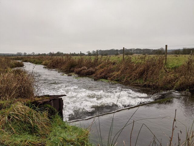
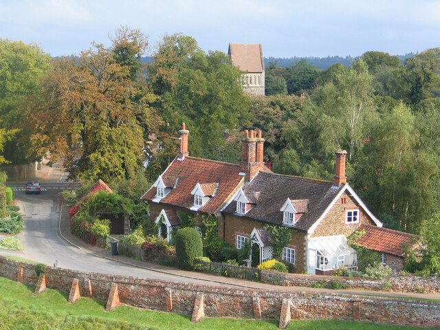
Babingley is a small village located in the county of Norfolk, England. Situated approximately 4 miles north-east of King's Lynn, it is nestled in a picturesque rural setting. The village is known for its tranquility, charming cottages, and historical significance.
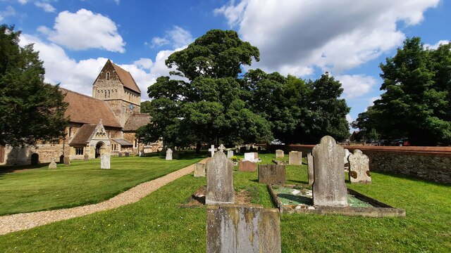
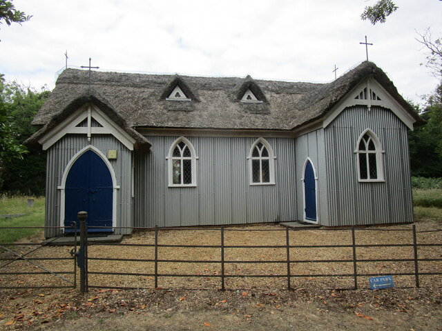
One of the most notable features of Babingley is its parish church, St. Felix. Dating back to the 14th century, this medieval church is renowned for its stunning architecture and rich history. It is said to have been founded by St. Felix, the first bishop of East Anglia, in the 7th century.
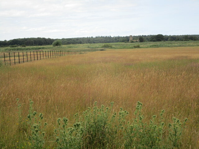
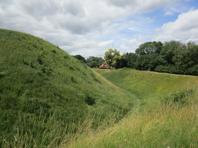
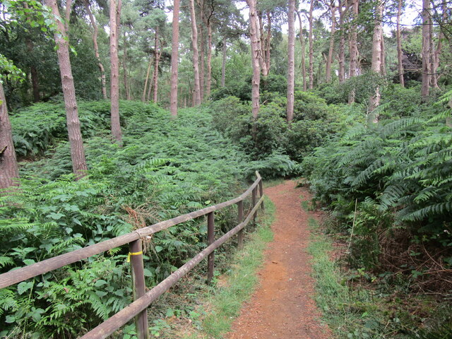
The village is surrounded by agricultural land, with vast fields and meadows stretching as far as the eye can see. The peaceful countryside setting offers a perfect escape from the hustle and bustle of city life, making it a popular destination for those seeking a quiet retreat.
Despite its small size, Babingley has managed to preserve its rural character and traditional way of life. The community is tight-knit, with a friendly and welcoming atmosphere. The village hosts various events throughout the year, including fairs and festivals, that bring residents and visitors together.
Babingley's location also makes it a great starting point for exploring the wider Norfolk area. Nearby attractions include Sandringham Estate, the Queen's country retreat, and the Norfolk Coast Area of Outstanding Natural Beauty, which offers stunning landscapes and wildlife.
Overall, Babingley provides a charming glimpse into Norfolk's rural heritage, offering a peaceful and idyllic experience for visitors and residents alike.
If you have any feedback on the listing, please let us know in the comments section below.
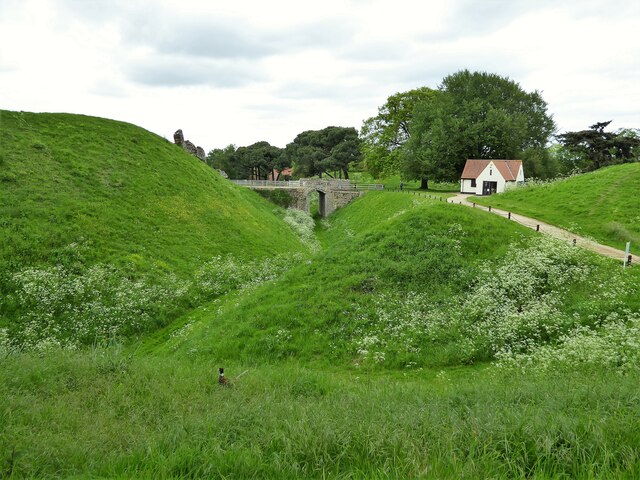
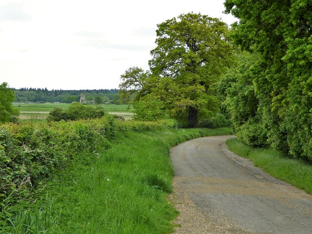
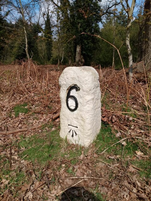
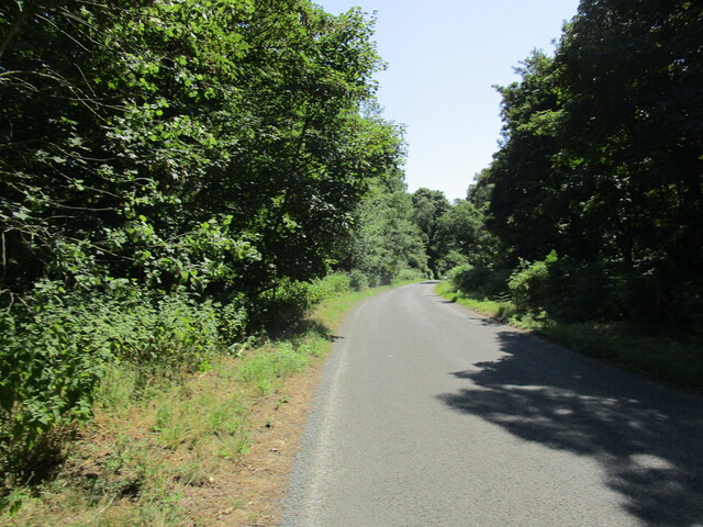
Babingley Images
Images are sourced within 2km of 52.808699/0.481192 or Grid Reference TF6726. Thanks to Geograph Open Source API. All images are credited.
Babingley is located at Grid Ref: TF6726 (Lat: 52.808699, Lng: 0.481192)
Administrative County: Norfolk
District: King's Lynn and West Norfolk
Police Authority: Norfolk
What 3 Words
///hunk.bleach.rolled. Near Dersingham, Norfolk
Nearby Locations
Related Wikis
Babingley
Babingley is a village and former civil parish, now in the parish of Sandringham, in the King's Lynn and West Norfolk district, in the county of Norfolk...

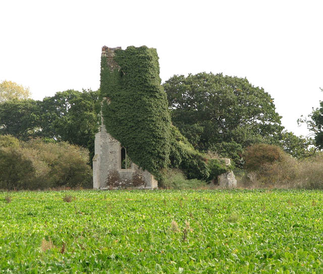
Castle Rising
Castle Rising is a village and civil parish in the English county of Norfolk. The village is situated some 8 kilometres (5 mi) north-east of the town of...

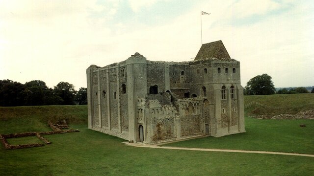
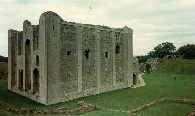
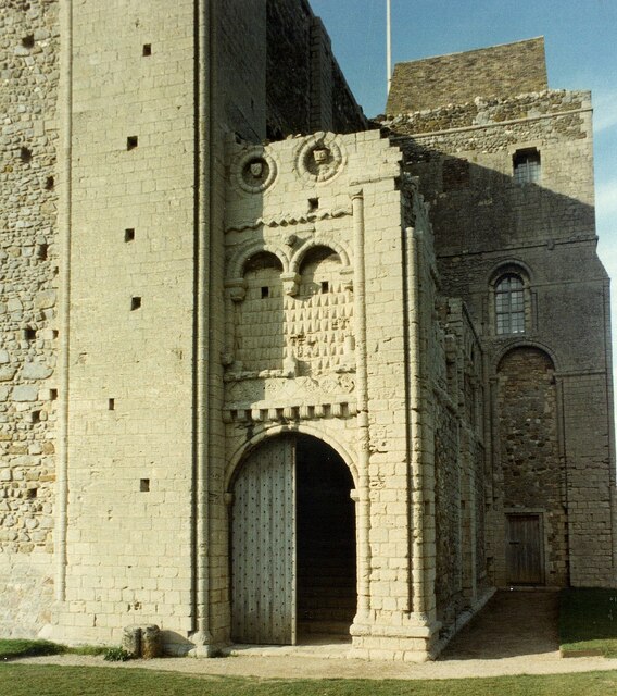
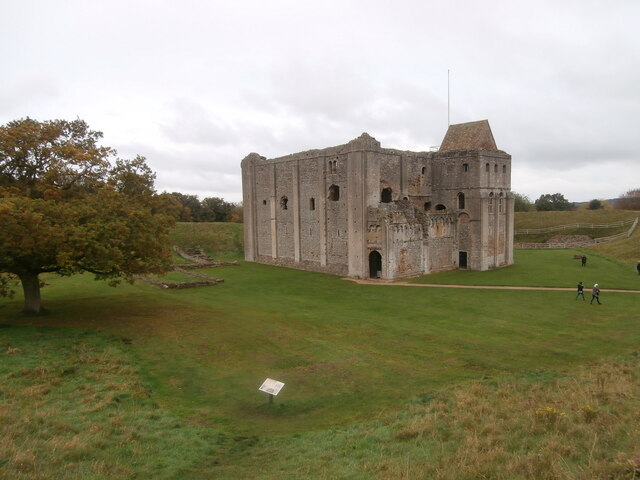
Castle Rising Castle
Castle Rising is a ruined medieval fortification in the village of Castle Rising, Norfolk, England. It was built soon after 1138 by William d'Aubigny II...

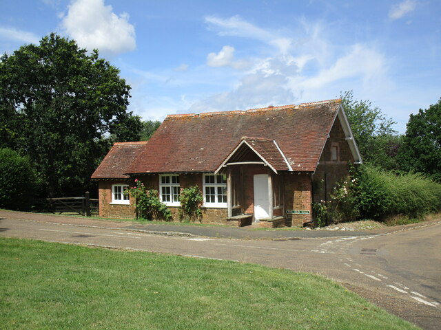
Wood Farm
Wood Farm is a farmhouse on the British Royal Family's Sandringham Estate in Norfolk, England. Historically occupied by members of the Royal Family and...

Dersingham Bog
Dersingham Bog is a 159.1-hectare (393-acre) biological and geological Site of Special Scientific Interest in Norfolk, England. It is a Nature Conservation...
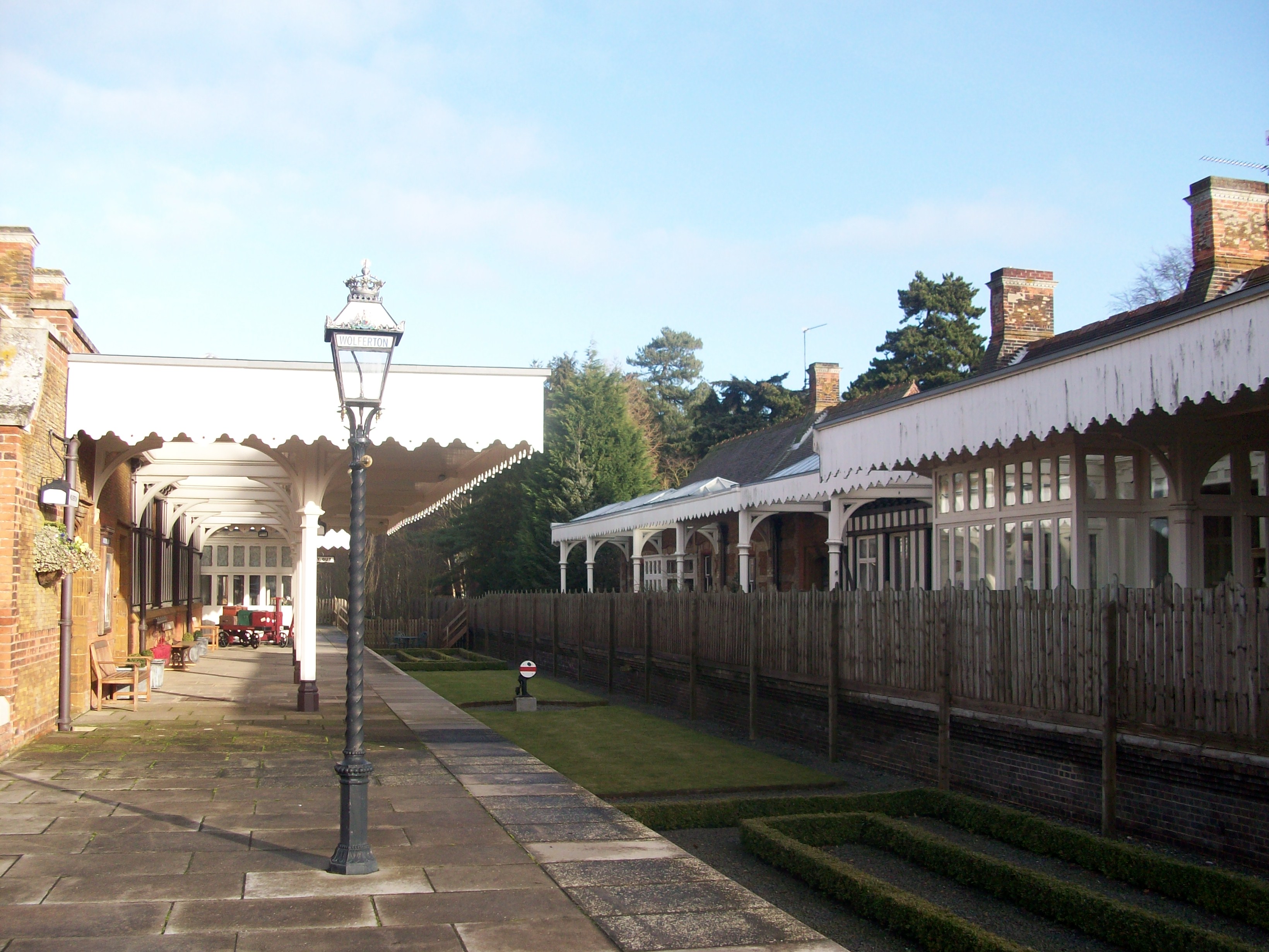
Wolferton railway station
Wolferton was a railway station on the Lynn and Hunstanton Railway line which opened in 1862 to serve the village of Wolferton in Norfolk, England. The...

West Newton, Norfolk
West Newton is a village and former civil parish, now in the parish of Sandringham, in the King's Lynn and West Norfolk district, in the north of the county...

Wolferton
Wolferton is a village and former civil parish, now in the parish of Sandringham, in the King's Lynn and West Norfolk district, in the county of Norfolk...
Nearby Amenities
Located within 500m of 52.808699,0.481192Have you been to Babingley?
Leave your review of Babingley below (or comments, questions and feedback).