Glucksburg Wood
Wood, Forest in Norfolk King's Lynn and West Norfolk
England
Glucksburg Wood
Glucksburg Wood is a picturesque forest located in Norfolk, England. Covering an area of approximately 100 acres, this woodland is a haven of natural beauty and tranquility. The wood is situated just a few miles away from the charming village of Glucksburg, hence its name.
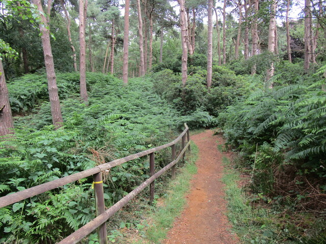
The forest is characterized by its dense canopy of tall, mature trees, predominantly composed of oak, beech, and birch. These majestic trees provide shade and shelter for a diverse range of flora and fauna that call Glucksburg Wood their home. The forest floor is adorned with a rich carpet of wildflowers and ferns, creating a vibrant and colorful display during the spring and summer months.
Walking through Glucksburg Wood, visitors will be greeted by the soothing sounds of nature, with the occasional rustle of leaves or the melodic chirping of birds. The forest also offers several well-maintained trails, allowing visitors to explore and immerse themselves in its peaceful ambiance.
The wood is not only a haven for nature enthusiasts but also serves as an important habitat for various wildlife species. Squirrels can be spotted darting between the trees, while the more patient observer may catch a glimpse of deer, foxes, or even badgers. Birdwatchers will delight in the array of species that inhabit the forest, including woodpeckers, owls, and various songbirds.
Glucksburg Wood, with its enchanting beauty and diverse ecosystem, is a true gem in the Norfolk countryside. Whether one seeks solace in nature, desires a peaceful walk, or wishes to observe the wonders of wildlife, this forest offers a rejuvenating and memorable experience for all who visit.
If you have any feedback on the listing, please let us know in the comments section below.
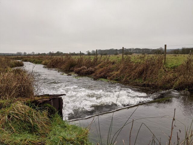
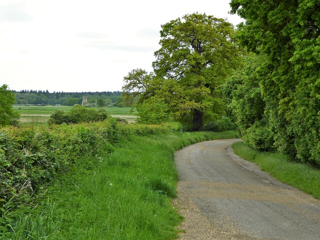
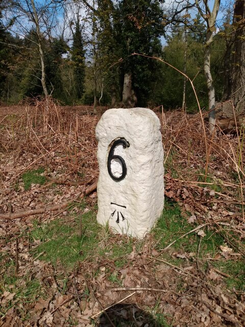
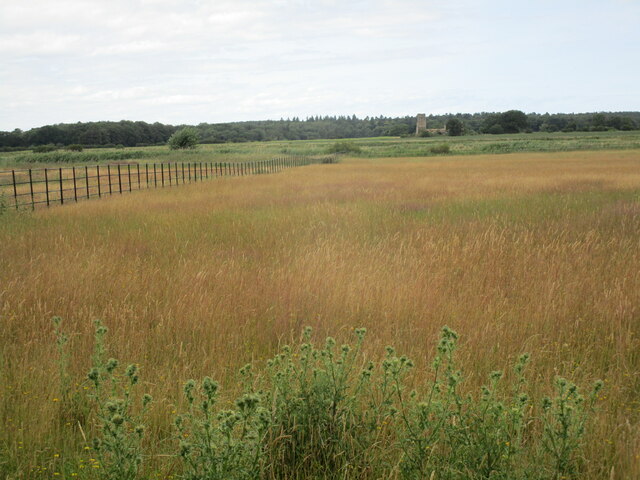
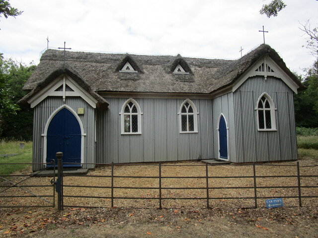
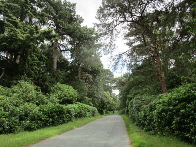
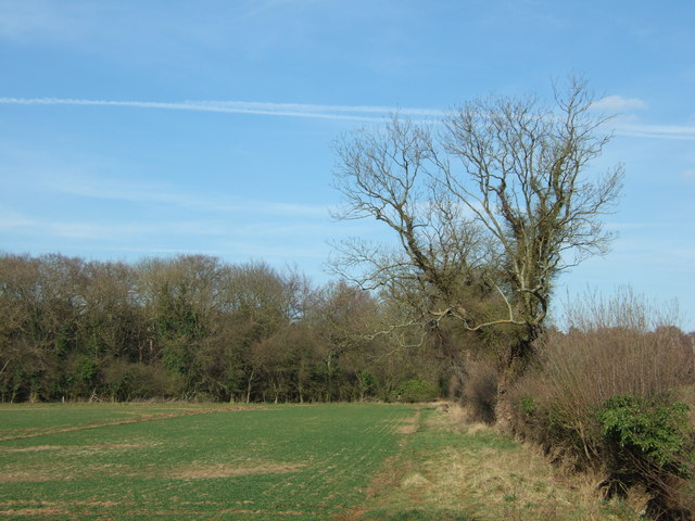
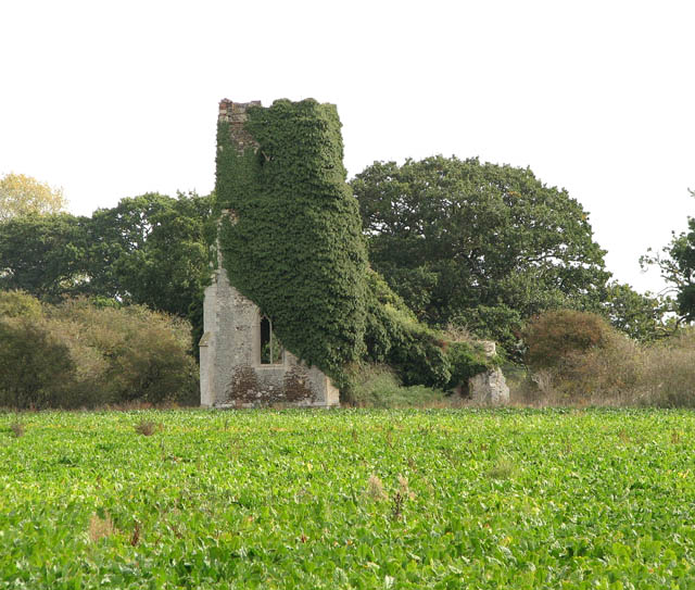
Glucksburg Wood Images
Images are sourced within 2km of 52.811804/0.48791566 or Grid Reference TF6726. Thanks to Geograph Open Source API. All images are credited.


Glucksburg Wood is located at Grid Ref: TF6726 (Lat: 52.811804, Lng: 0.48791566)
Administrative County: Norfolk
District: King's Lynn and West Norfolk
Police Authority: Norfolk
What 3 Words
///tightest.mentions.laying. Near Dersingham, Norfolk
Nearby Locations
Related Wikis
Babingley
Babingley is a village and former civil parish, now in the parish of Sandringham, in the King's Lynn and West Norfolk district, in the county of Norfolk...

West Newton, Norfolk
West Newton is a village and former civil parish, now in the parish of Sandringham, in the King's Lynn and West Norfolk district, in the north of the county...

Dersingham Bog
Dersingham Bog is a 159.1-hectare (393-acre) biological and geological Site of Special Scientific Interest in Norfolk, England. It is a Nature Conservation...
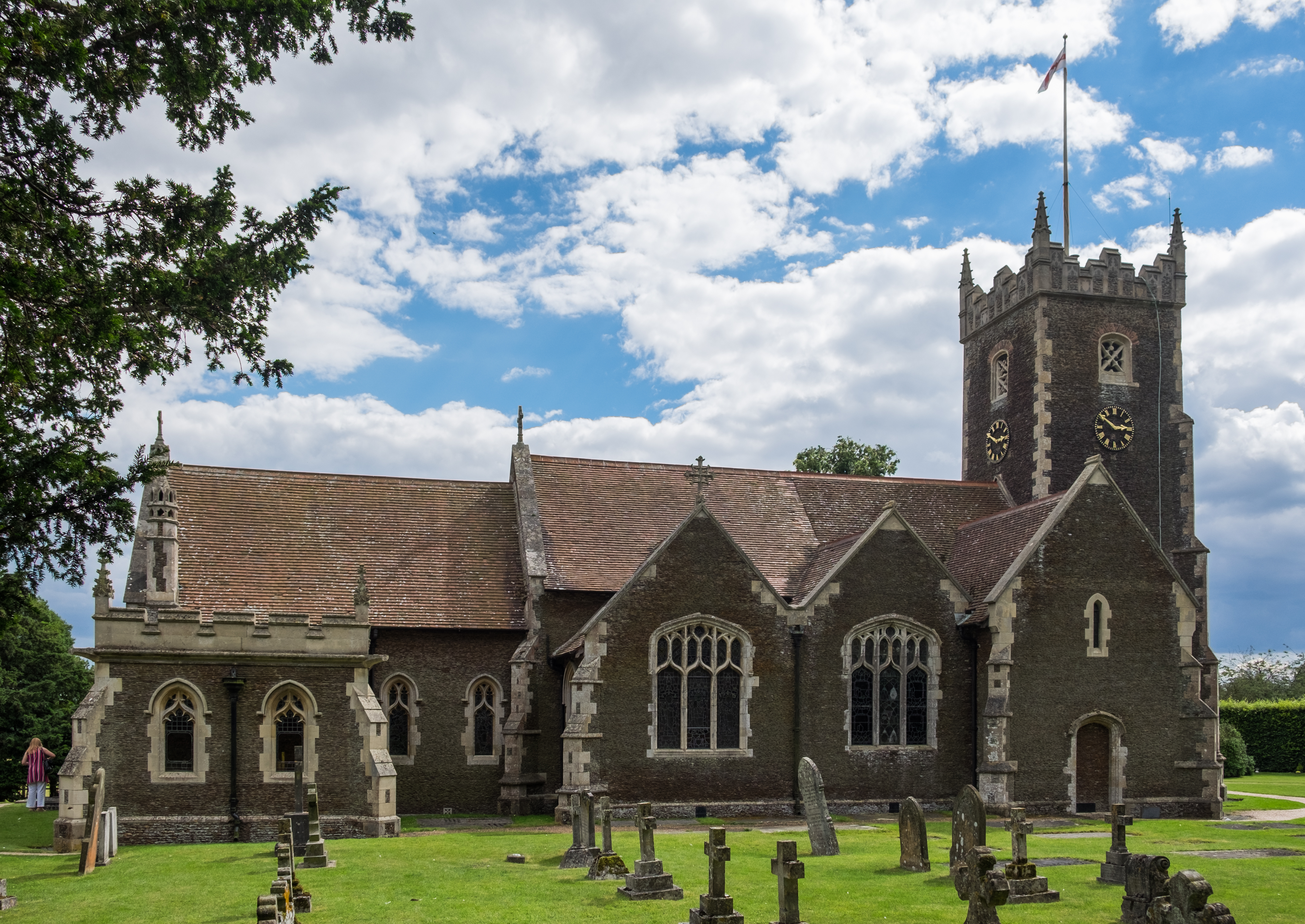
St Mary Magdalene Church, Sandringham
St Mary Magdalene Church is a church in Sandringham, Norfolk, England, located just to the southwest of Sandringham House. Members of the British Royal...

Castle Rising
Castle Rising is a village and civil parish in the English county of Norfolk. The village is situated some 8 kilometres (5 mi) north-east of the town of...

Castle Rising Castle
Castle Rising is a ruined medieval fortification in the village of Castle Rising, Norfolk, England. It was built soon after 1138 by William d'Aubigny II...
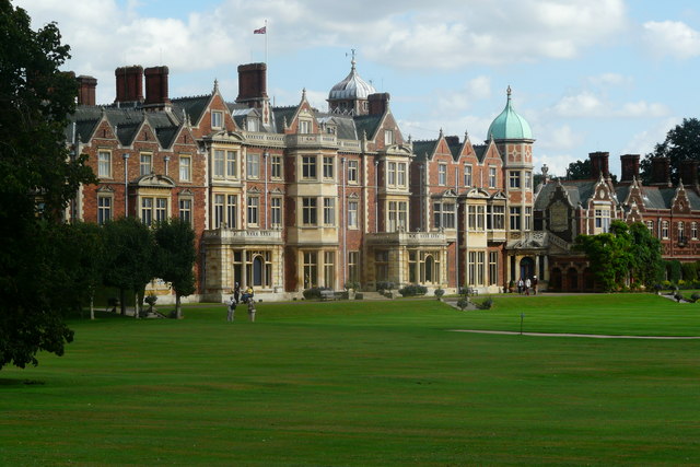
Sandringham, Norfolk
Sandringham is a village and civil parish in the north of the English county of Norfolk. The village is situated 2 kilometres (1.2 mi) south of Dersingham...

Wood Farm
Wood Farm is a farmhouse on the British Royal Family's Sandringham Estate in Norfolk, England. Historically occupied by members of the Royal Family and...
Nearby Amenities
Located within 500m of 52.811804,0.48791566Have you been to Glucksburg Wood?
Leave your review of Glucksburg Wood below (or comments, questions and feedback).