Great Carr
Wood, Forest in Norfolk King's Lynn and West Norfolk
England
Great Carr
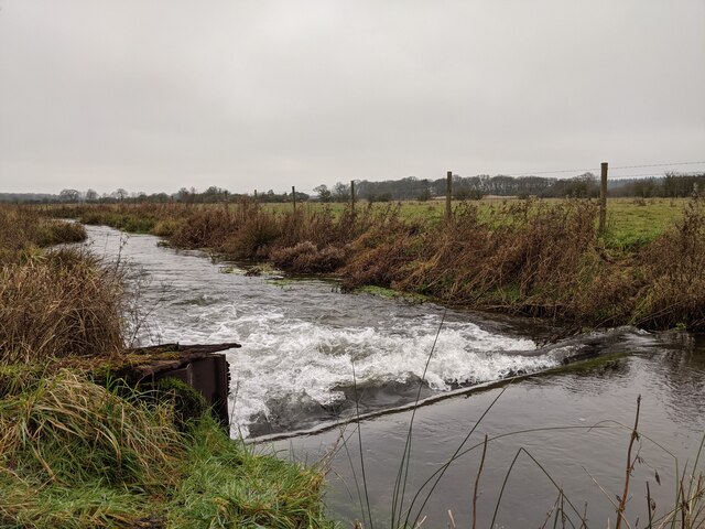
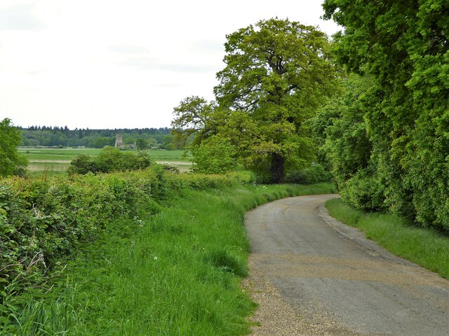
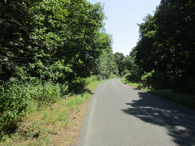
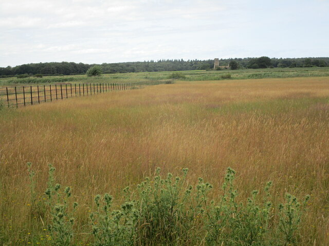
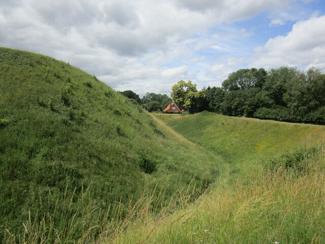
Great Carr, Norfolk is a charming woodland area located in the eastern part of England. Situated in the county of Norfolk, Great Carr is renowned for its vast expanse of dense forest and vibrant woodlands. Covering a total area of approximately 500 acres, it offers a tranquil retreat for nature enthusiasts and outdoor adventurers alike.
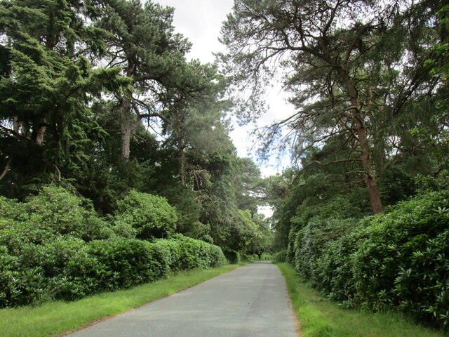
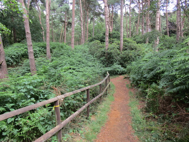
The woodland in Great Carr is predominantly made up of a diverse range of tree species, including oak, beech, birch, and pine. The lush greenery and towering trees create a picturesque landscape, providing a habitat for a wide array of flora and fauna. Visitors to Great Carr can expect to encounter various types of wildflowers, ferns, and mosses, adding to the beauty of the surroundings.
The forest is crisscrossed by a network of well-maintained trails, allowing visitors to explore the area on foot or by bicycle. These paths wind their way through the woodlands, offering breathtaking views and opportunities for wildlife spotting. Great Carr is home to a rich variety of animal species, such as deer, squirrels, rabbits, and numerous bird species, making it a haven for nature lovers and birdwatchers.
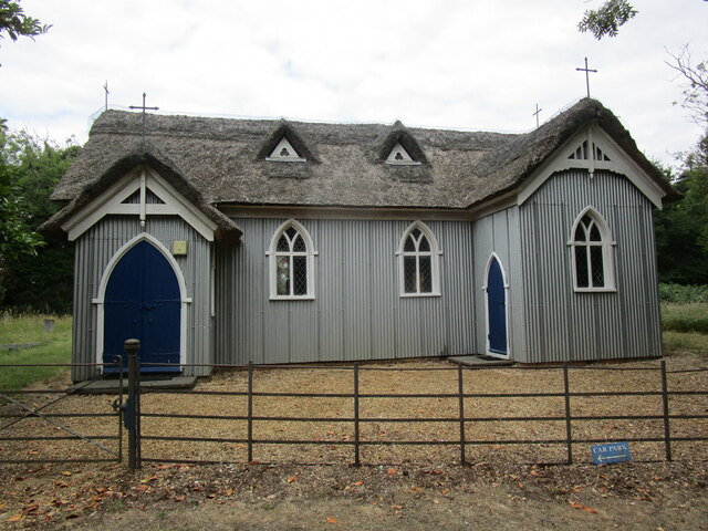
In addition to its natural beauty, Great Carr offers recreational facilities, including picnic areas and designated camping spots. It is a popular destination for families, hikers, and nature photographers seeking solace and a chance to connect with the great outdoors. With its serene atmosphere and unspoiled surroundings, Great Carr, Norfolk is truly a hidden gem for those seeking a peaceful retreat in the heart of nature.
If you have any feedback on the listing, please let us know in the comments section below.
Great Carr Images
Images are sourced within 2km of 52.808421/0.48416118 or Grid Reference TF6726. Thanks to Geograph Open Source API. All images are credited.


Great Carr is located at Grid Ref: TF6726 (Lat: 52.808421, Lng: 0.48416118)
Administrative County: Norfolk
District: King's Lynn and West Norfolk
Police Authority: Norfolk
What 3 Words
///brings.savings.mammoths. Near Dersingham, Norfolk
Nearby Locations
Related Wikis
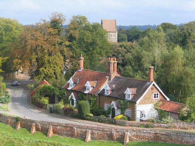
Babingley
Babingley is a village and former civil parish, now in the parish of Sandringham, in the King's Lynn and West Norfolk district, in the county of Norfolk...

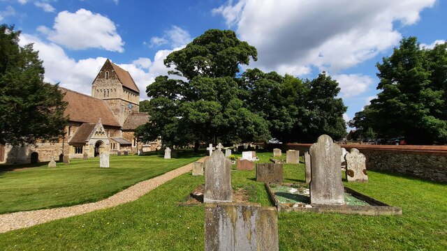
Castle Rising
Castle Rising is a village and civil parish in the English county of Norfolk. The village is situated some 8 kilometres (5 mi) north-east of the town of...

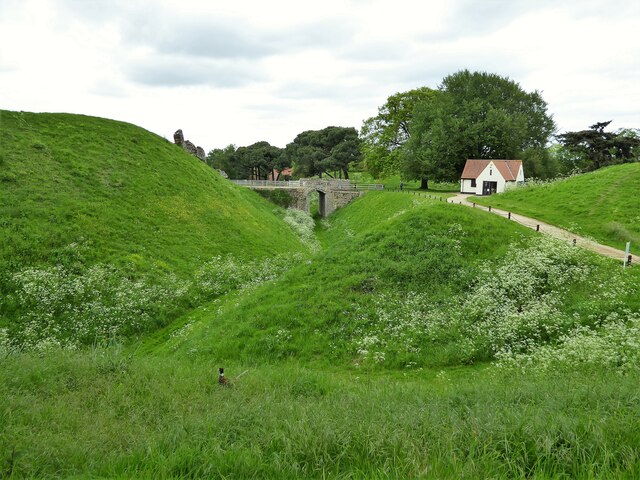
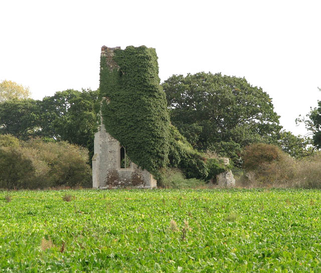
Castle Rising Castle
Castle Rising is a ruined medieval fortification in the village of Castle Rising, Norfolk, England. It was built soon after 1138 by William d'Aubigny II...

West Newton, Norfolk
West Newton is a village and former civil parish, now in the parish of Sandringham, in the King's Lynn and West Norfolk district, in the north of the county...

Dersingham Bog
Dersingham Bog is a 159.1-hectare (393-acre) biological and geological Site of Special Scientific Interest in Norfolk, England. It is a Nature Conservation...

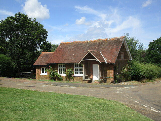
Wood Farm
Wood Farm is a farmhouse on the British Royal Family's Sandringham Estate in Norfolk, England. Historically occupied by members of the Royal Family and...
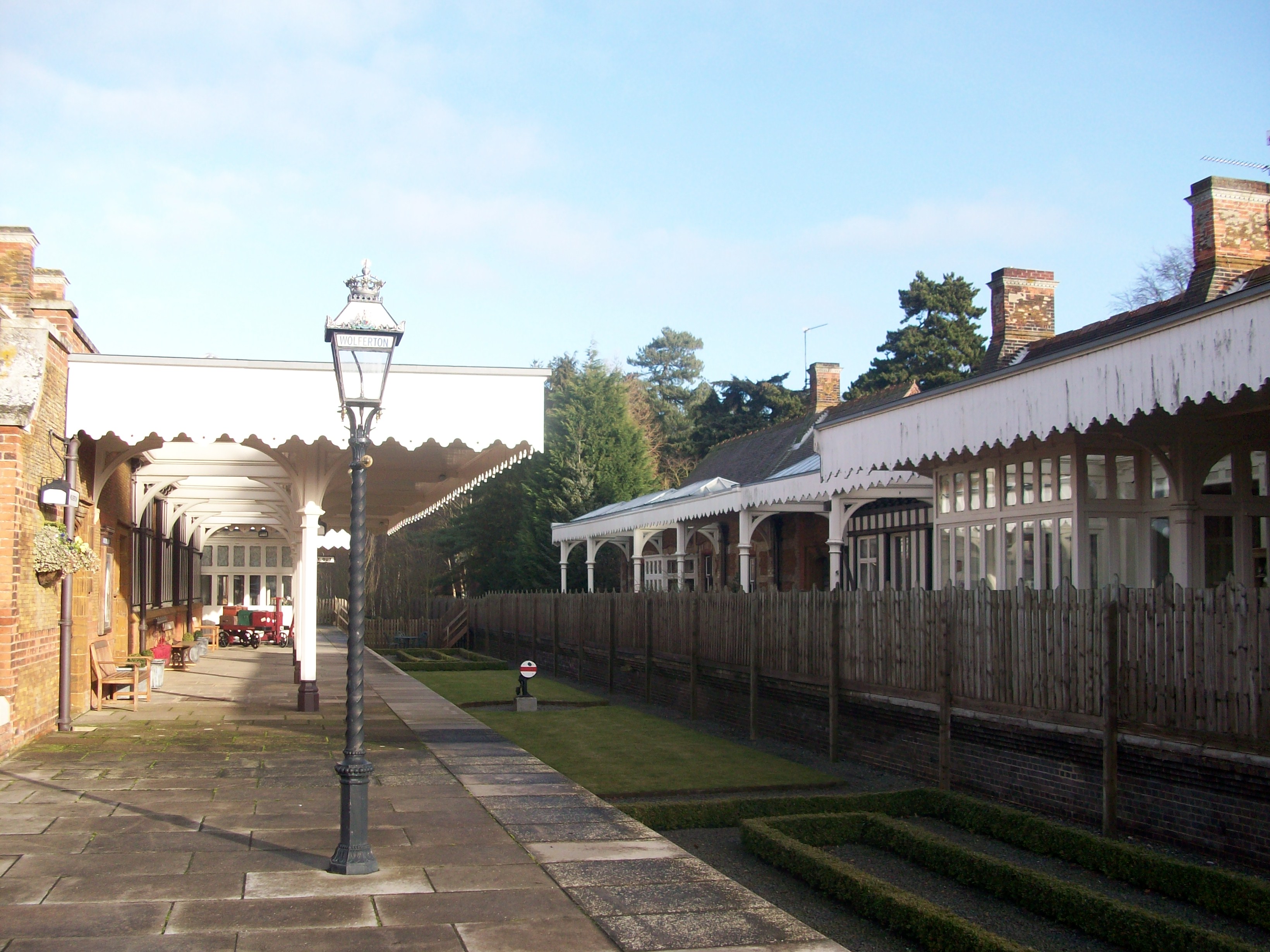
Wolferton railway station
Wolferton was a railway station on the Lynn and Hunstanton Railway line which opened in 1862 to serve the village of Wolferton in Norfolk, England. The...

Wolferton
Wolferton is a village and former civil parish, now in the parish of Sandringham, in the King's Lynn and West Norfolk district, in the county of Norfolk...
Related Videos

A DAY IN THE LIFE, EATING OUT AND WALKING ROUND SANDRINGHAM PARK AT LUMINATE
Hello, If you find my videos Entertaining and would like to support my channel You can do so here: https://ko-fi.com/fat2health I ...

Prince William: Walking with Queen Elizabeth II's coffin was emotionally 'challenging'
Prince William: Walking with Queen Elizabeth II's coffin was emotionally 'challenging': William, the Prince of Wales, told ...

April & Roo goes to Sandringham House & Rising castle Travel
Went a day at King's Lynn, Northfolk! Visiting Sandringham. The house has been in the royal family since 1862, and they still ...
Nearby Amenities
Located within 500m of 52.808421,0.48416118Have you been to Great Carr?
Leave your review of Great Carr below (or comments, questions and feedback).