Ynysfro Reservoirs
Lake, Pool, Pond, Freshwater Marsh in Monmouthshire
Wales
Ynysfro Reservoirs
The requested URL returned error: 429 Too Many Requests
If you have any feedback on the listing, please let us know in the comments section below.
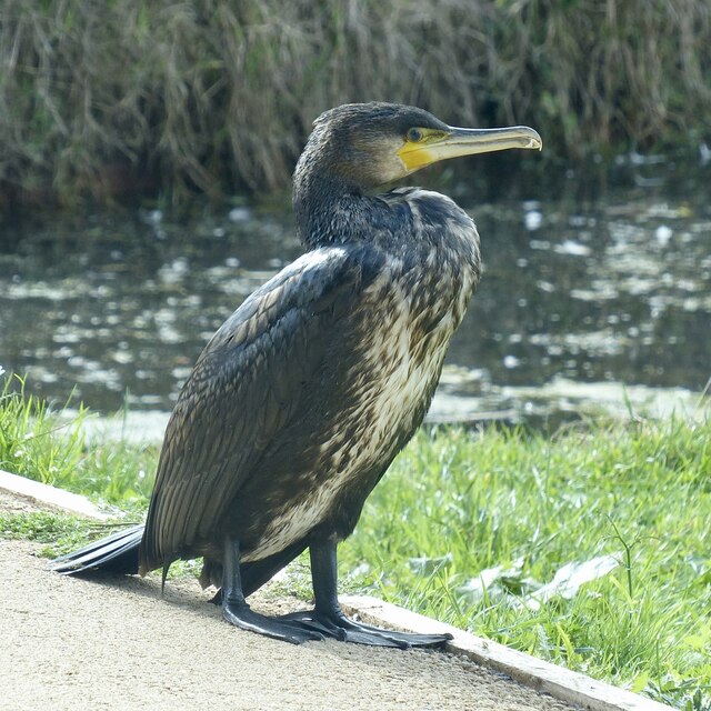
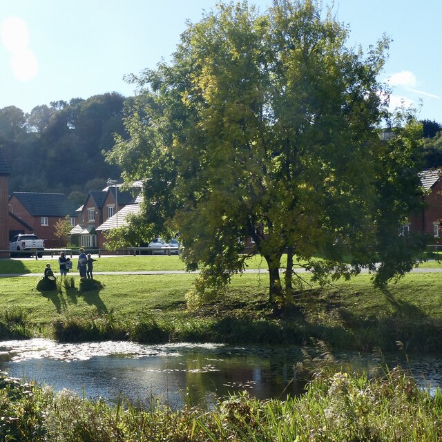
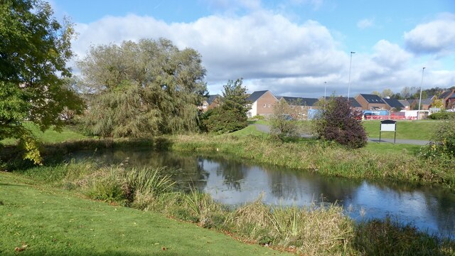
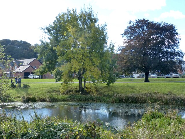
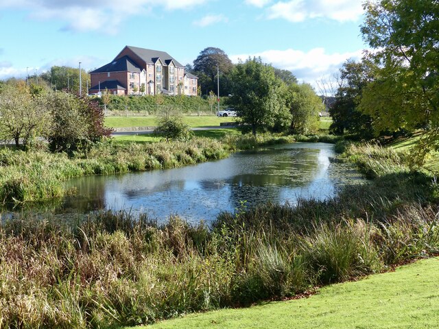
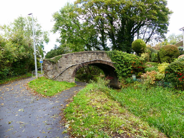
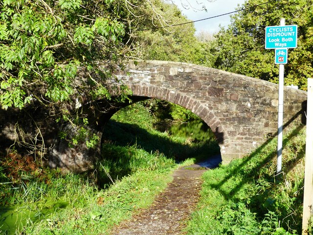
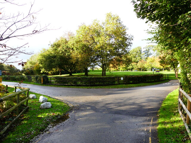
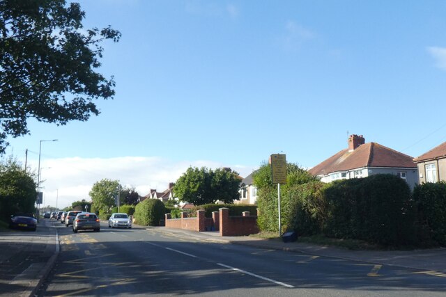
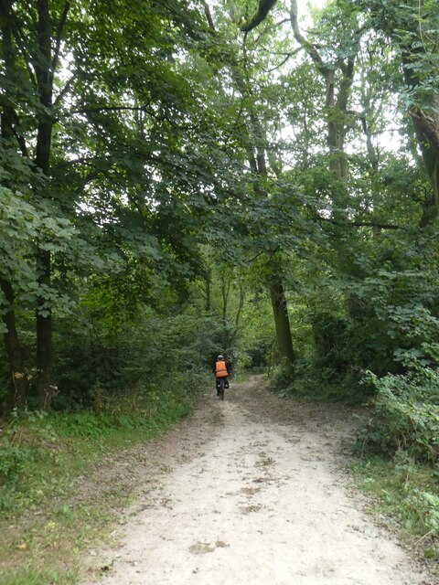
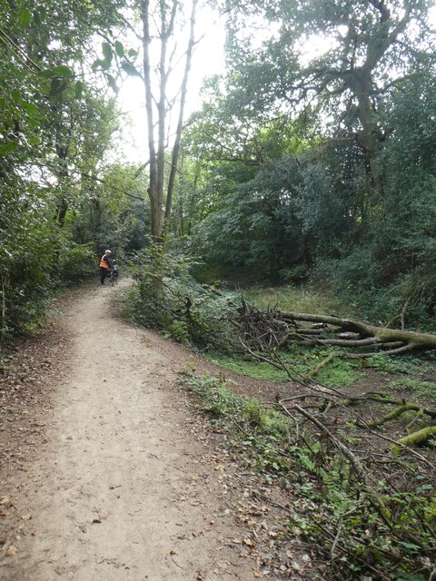
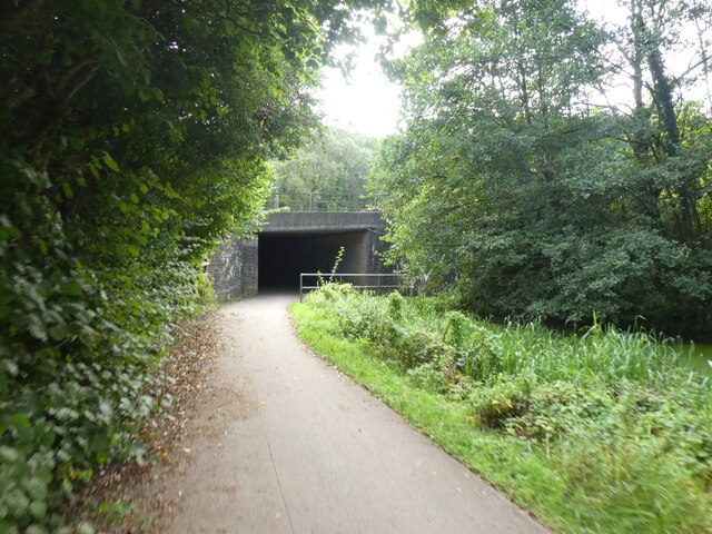
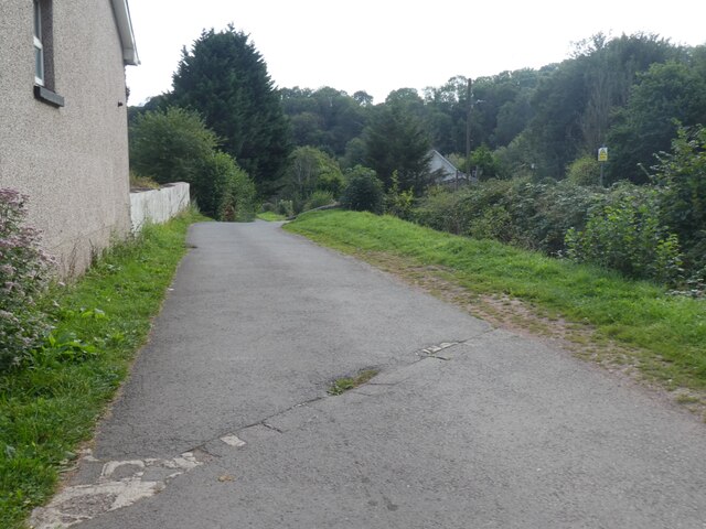
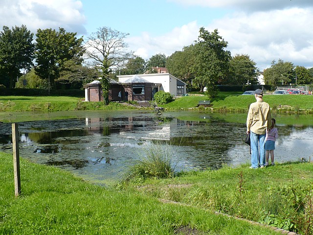
Ynysfro Reservoirs Images
Images are sourced within 2km of 51.595604/-3.0366267 or Grid Reference ST2889. Thanks to Geograph Open Source API. All images are credited.

Ynysfro Reservoirs is located at Grid Ref: ST2889 (Lat: 51.595604, Lng: -3.0366267)
Unitary Authority: Newport
Police Authority: Gwent
What 3 Words
///gains.using.sailor. Near Newport
Nearby Locations
Related Wikis

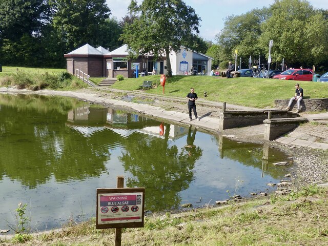
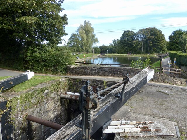
Fourteen Locks
Fourteen Locks (grid reference ST277886) is a series of locks, also known as the Cefn Flight, on the Crumlin arm of the Monmouthshire Canal at Rogerstone...

High Cross, Newport
High Cross is a suburb of the city of Newport, South Wales, and forms part of the community (parish) of Rogerstone. The majority of the housing in the...
Rogerstone
Rogerstone (Welsh: Tŷ du, meaning "Black house") is a large village and community (parish) in Newport, Wales. The area is governed by Newport City Council...
Allt-yr-yn
Allt-yr-yn (Welsh: Allt-yr-ynn) is a suburb of the city of Newport, south-east Wales. == Name == Pronounced by English-speaking locals as "Olt-er-reen...
Nearby Amenities
Located within 500m of 51.595604,-3.0366267Have you been to Ynysfro Reservoirs?
Leave your review of Ynysfro Reservoirs below (or comments, questions and feedback).