Wern-ddu Wood

Wood, Forest in Monmouthshire

Wales

Wern-ddu Wood

X3 bus northbound, Malpas Road, Newport In November 2023 Stagecoach bus 28735 is on Route X3
from Cardiff to Cwmbran via the M4 motorway.
X3 bus northbound, Malpas Road, Newport Credit: Jaggery

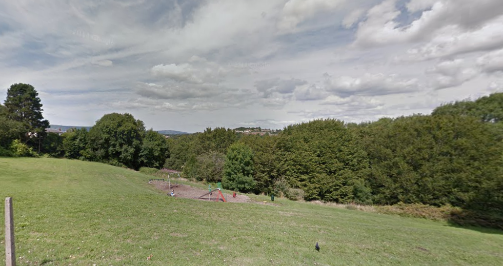
Wern-ddu Wood is a picturesque woodland located in Monmouthshire, Wales. With an area of approximately 100 acres, it is nestled in the heart of the Welsh countryside and offers visitors a serene and tranquil retreat.

The wood is predominantly made up of native broadleaf trees, including oak, ash, beech, and birch, creating a diverse and rich habitat for a variety of wildlife. The dense canopy provides shelter for numerous bird species, such as woodpeckers, owls, and thrushes, making it a haven for birdwatchers and nature enthusiasts.

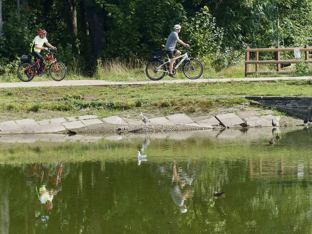
Wern-ddu Wood is crisscrossed by a network of well-maintained walking trails, allowing visitors to explore the woodland at their leisure. The paths wind through the ancient trees, leading to hidden clearings, babbling brooks, and enchanting glades. Along the way, visitors may encounter an array of wildflowers, fungi, and ferns, adding to the wood's natural beauty.

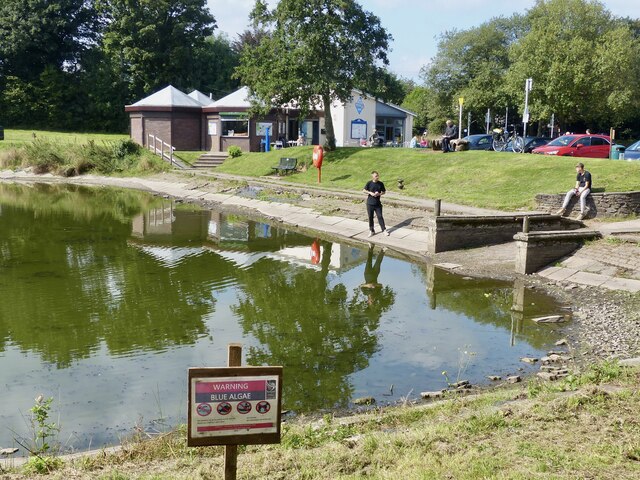
The wood also boasts a small pond, attracting a variety of aquatic creatures, including frogs, newts, and dragonflies. This provides a unique opportunity for visitors to observe and learn about the delicate ecosystems that thrive within the wood.

Wern-ddu Wood is managed by a local conservation organization, ensuring the preservation of this valuable natural resource. It is open to the public throughout the year and offers a peaceful respite for those seeking solace in nature. Whether one chooses to wander the trails, observe the wildlife, or simply sit and enjoy the tranquility, Wern-ddu Wood promises a delightful and immersive experience in the heart of Monmouthshire.

If you have any feedback on the listing, please let us know in the comments section below.

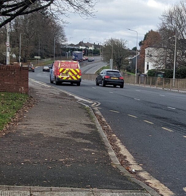
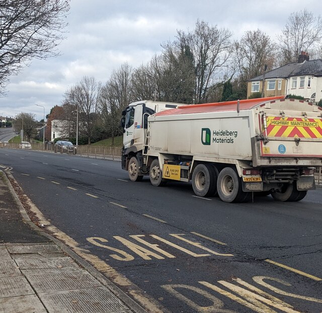
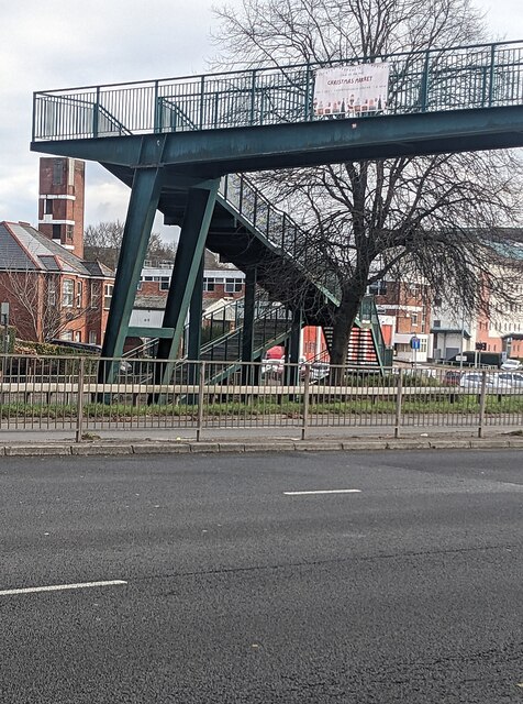
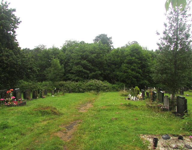
Wern-ddu Wood Images

Images are sourced within 2km of 51.598633/-3.0275854 or Grid Reference ST2889. Thanks to Geograph Open Source API. All images are credited.

X3 bus northbound, Malpas Road, Newport In November 2023 Stagecoach bus 28735 is on Route X3
from Cardiff to Cwmbran via the M4 motorway.
X3 bus northbound, Malpas Road, Newport
In November 2023 Stagecoach bus 28735 is on Route X3 from Cardiff to Cwmbran via the M4 motorway.
Virgin Media van, Malpas Road, Newport Travelling north on the A4051 Malpas Road in November 2023.
Virgin Media van, Malpas Road, Newport
Travelling north on the A4051 Malpas Road in November 2023.
Heidelberg Materials lorry, Malpas Road, Newport 4-axle highway maintenance lorry travelling north on the A4051 Malpas Road in November 2023. 
A yellow notice on the side of the lorry shows "BLIND SPOT Take Care".
Heidelberg Materials lorry, Malpas Road, Newport
4-axle highway maintenance lorry travelling north on the A4051 Malpas Road in November 2023. A yellow notice on the side of the lorry shows "BLIND SPOT Take Care".
MJ Church lorry, Malpas, Newport Refuse collection lorry travelling south on the A4051 Malpas Road in November 2023. 
The business's Head Office is Star Farm in Marshfield near Chippenham, Wiltshire.
MJ Church lorry, Malpas, Newport
Refuse collection lorry travelling south on the A4051 Malpas Road in November 2023. The business's Head Office is Star Farm in Marshfield near Chippenham, Wiltshire.
Christmas Market notice on a Malpas Road footbridge, Newport The notice on display in late November 2023 advertises
a Christmas Market in the nearby Christchurch Centre.
Christmas Market notice on a Malpas Road footbridge, Newport
The notice on display in late November 2023 advertises a Christmas Market in the nearby Christchurch Centre.
The Window Doctor white van, Malpas Road, Newport Text on the van travelling south on the A4051 Malpas Road in November 2023 includes
"Double glazing repair specialists"
The Window Doctor white van, Malpas Road, Newport
Text on the van travelling south on the A4051 Malpas Road in November 2023 includes "Double glazing repair specialists"
Northern edge of St Woolos Cemetery, Newport A small part of a large municipal cemetery. Most burials in Newport were originally in the churchyard of St Woolos cathedral, but by the middle of the 19th century this was totally inadequate for a town with a rapidly-growing population. 15 acres of land to the west of the cathedral, between Risca Road and Bassaleg Road, were obtained from the Tredegar Estate for the new St Woolos Cemetery, which opened in 1854.

It is the UK's oldest municipal cemetery. Its current dimensions are about 600 metres by 400 metres, roughly 60 acres.
Northern edge of St Woolos Cemetery, Newport
A small part of a large municipal cemetery. Most burials in Newport were originally in the churchyard of St Woolos cathedral, but by the middle of the 19th century this was totally inadequate for a town with a rapidly-growing population. 15 acres of land to the west of the cathedral, between Risca Road and Bassaleg Road, were obtained from the Tredegar Estate for the new St Woolos Cemetery, which opened in 1854. It is the UK's oldest municipal cemetery. Its current dimensions are about 600 metres by 400 metres, roughly 60 acres.
Ordnance Survey Rivet This OS rivet can be found on the Motorway Bridge. It marks a point 64.115m above mean sea level.
Ordnance Survey Rivet
This OS rivet can be found on the Motorway Bridge. It marks a point 64.115m above mean sea level.
Ordnance Survey Cut Mark This OS cut mark can be found on the post at the entrance of Coed Melyn Park. It marks a point 70.434m above mean sea level.
Ordnance Survey Cut Mark
This OS cut mark can be found on the post at the entrance of Coed Melyn Park. It marks a point 70.434m above mean sea level.
Ordnance Survey Cut Mark This OS cut mark can be found on the wall of Clewer Court, Oakfield Road. It marks a point 63.108m above mean sea level.
Ordnance Survey Cut Mark
This OS cut mark can be found on the wall of Clewer Court, Oakfield Road. It marks a point 63.108m above mean sea level.
Ordnance Survey Cut Mark This OS cut mark can be found on No2 Upton Road. It marks a point 75.242m above mean sea level.
Ordnance Survey Cut Mark
This OS cut mark can be found on No2 Upton Road. It marks a point 75.242m above mean sea level.
Ordnance Survey Cut Mark This OS cut mark can be found on the cemetery gatepost SW side of Risca Road. It marks a point 76.615m above mean sea level.
Ordnance Survey Cut Mark
This OS cut mark can be found on the cemetery gatepost SW side of Risca Road. It marks a point 76.615m above mean sea level.
Ordnance Survey Cut Mark This OS cut mark can be found on the wall of No18 Woodville Road. It marks a point 75.926m above mean sea level.
Ordnance Survey Cut Mark
This OS cut mark can be found on the wall of No18 Woodville Road. It marks a point 75.926m above mean sea level.
Ordnance Survey Cut Mark This OS cut mark can be found on the wall of No6 Woodville Road. It marks a point 81.064m above mean sea level.
Ordnance Survey Cut Mark
This OS cut mark can be found on the wall of No6 Woodville Road. It marks a point 81.064m above mean sea level.
Fourteen Locks Visitor Centre, Newport Looking over the canal pound from the small shop in the visitor centre.
Fourteen Locks Visitor Centre, Newport
Looking over the canal pound from the small shop in the visitor centre.
Warning, Blue Algae, Fourteen Locks, Newport There have been several reports of blue algae on lakes and canals in the local area this summer.
The notice says:
No animals to be allowed in the water
Avoid contact with skin
No fishing
No swimming or paddling
Warning, Blue Algae, Fourteen Locks, Newport
There have been several reports of blue algae on lakes and canals in the local area this summer. The notice says: No animals to be allowed in the water Avoid contact with skin No fishing No swimming or paddling
Cyclists, heron and reflections, Fourteen Locks, Newport Viewed across the canal pound.
Cyclists, heron and reflections, Fourteen Locks, Newport
Viewed across the canal pound.
Lock and bridge, Fourteen Locks, Newport This is lock 21 on the Crumlin Branch of the Monmouthshire and Brecon Canal.
Behind is Pensarn Bridge (No 6) which is a minor road. Beyond that, a footbridge crosses the canal as it enters the pound by Fourteen Locks Visitor Centre.
The canal itself continues between the trees on the far right, descending a hill via a number of locks.
The Sirhowy Valley Walk long distance path and Cycle Route 47 are on the right hand side of the pound.
Lock and bridge, Fourteen Locks, Newport
This is lock 21 on the Crumlin Branch of the Monmouthshire and Brecon Canal. Behind is Pensarn Bridge (No 6) which is a minor road. Beyond that, a footbridge crosses the canal as it enters the pound by Fourteen Locks Visitor Centre. The canal itself continues between the trees on the far right, descending a hill via a number of locks. The Sirhowy Valley Walk long distance path and Cycle Route 47 are on the right hand side of the pound.
Show me another place!

Wern-ddu Wood is located at Grid Ref: ST2889 (Lat: 51.598633, Lng: -3.0275854)

Unitary Authority: Newport

Police Authority: Gwent

What 3 Words

///wizard.career.cubes. Near Newport

Related Wikis

Allt-yr-yn

Allt-yr-yn (Welsh: Allt-yr-ynn) is a suburb of the city of Newport, south-east Wales. == Name == Pronounced by English-speaking locals as "Olt-er-reen...

Bettws, Newport

Bettws (Welsh: Betws) is a large modern housing estate, electoral ward and coterminous community (parish) of the city of Newport, South Wales. == Etymology... ==

Ridgeway, Newport

Ridgeway is an area in Newport, Wales, in the electoral ward and community of Allt-yr-yn. It is well known for its ridge which overlooks Rogerstone and...

Newport High School (Wales)

Newport High School (Welsh: Ysgol Uwchradd Casnewydd) is a co-educational secondary school in the Bettws district of the city of Newport, South Wales,...
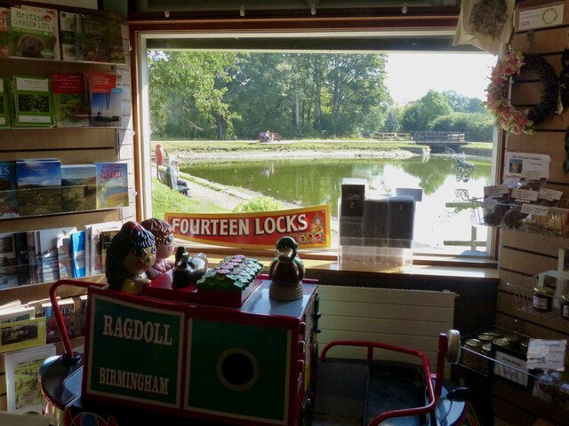
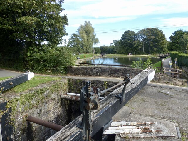
Fourteen Locks

Fourteen Locks (grid reference ST277886) is a series of locks, also known as the Cefn Flight, on the Crumlin arm of the Monmouthshire Canal at Rogerstone...

Raglan Barracks, Newport

Raglan Barracks is a military installation at Barrack Hill in Allt-yr-yn in Newport, Wales. == History == The barracks were built as a cavalry barracks...

High Cross, Newport

High Cross is a suburb of the city of Newport, South Wales, and forms part of the community (parish) of Rogerstone. The majority of the housing in the...

Barrack Hill

Barrack Hill is an area in Newport, Wales, in the suburb and electoral ward and coterminous community parish of Allt-yr-yn. It is most well known for...

Have you been to Wern-ddu Wood?

Leave your review of Wern-ddu Wood below (or comments, questions and feedback).