Coed y Glasllwch
Wood, Forest in Monmouthshire
Wales
Coed y Glasllwch
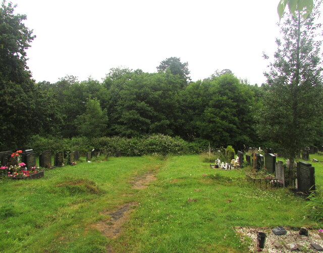
Coed y Glasllwch is a picturesque woodland located in Monmouthshire, Wales. With its lush greenery and diverse range of tree species, it is a popular destination for nature enthusiasts and outdoor lovers. The woodland covers an area of approximately 100 acres, offering visitors ample space to explore and immerse themselves in the beauty of nature.
The forest is home to a variety of wildlife, including birds, mammals, and insects. Visitors may have the chance to spot species such as woodpeckers, foxes, and butterflies as they wander through the tranquil trails. The woodland also features a small stream that adds to the overall charm and serenity of the area.
Coed y Glasllwch is well-maintained, with clearly marked trails and signage to guide visitors along their journey. The paths are suitable for both leisurely strolls and more adventurous hikes, catering to individuals of all ages and fitness levels. Along the way, there are several seating areas and picnic spots, allowing visitors to take a break and enjoy a meal amidst the natural surroundings.
In addition to its recreational appeal, Coed y Glasllwch also serves as an important ecological site. The woodland plays a crucial role in preserving biodiversity and provides a habitat for numerous plant and animal species. Conservation efforts are underway to protect and enhance the forest's ecological value.
Overall, Coed y Glasllwch offers a peaceful escape from the hustle and bustle of everyday life, providing a haven for nature lovers and an opportunity to reconnect with the natural world.
If you have any feedback on the listing, please let us know in the comments section below.
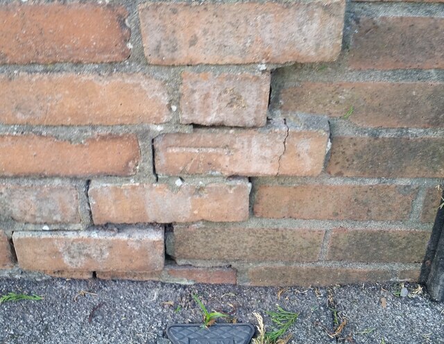
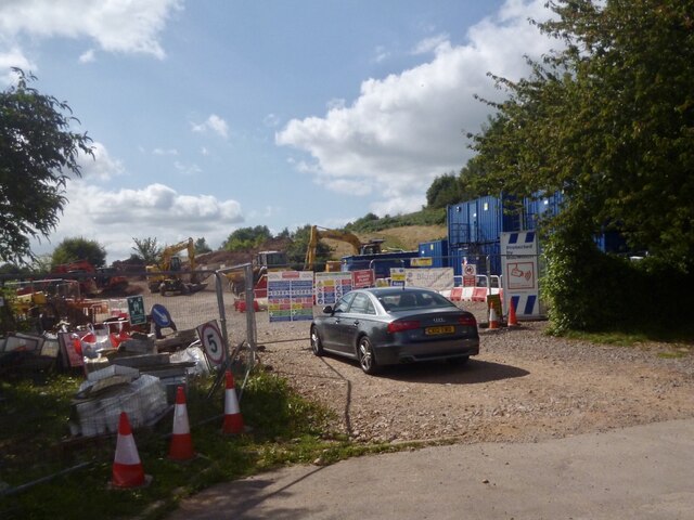
Coed y Glasllwch Images
Images are sourced within 2km of 51.586905/-3.0269165 or Grid Reference ST2888. Thanks to Geograph Open Source API. All images are credited.
Coed y Glasllwch is located at Grid Ref: ST2888 (Lat: 51.586905, Lng: -3.0269165)
Unitary Authority: Newport
Police Authority: Gwent
What 3 Words
///names.candy.crowd. Near Newport
Nearby Locations
Related Wikis

Ridgeway, Newport
Ridgeway is an area in Newport, Wales, in the electoral ward and community of Allt-yr-yn. It is well known for its ridge which overlooks Rogerstone and...

Allt-yr-yn
Allt-yr-yn (Welsh: Allt-yr-ynn) is a suburb of the city of Newport, south-east Wales. == Name == Pronounced by English-speaking locals as "Olt-er-reen...
High Cross, Newport
High Cross is a suburb of the city of Newport, South Wales, and forms part of the community (parish) of Rogerstone. The majority of the housing in the...

St Woolos Cemetery
St Woolos Cemetery (officially named Newport and St Woolos new Cemetery) is the main cemetery in the city of Newport, Wales situated one mile to the west...

Bassaleg Junction railway station
Bassaleg Junction was a railway station which served the village of Bassaleg, Monmouthshire. == History == The station was opened by the Monmouthshire...
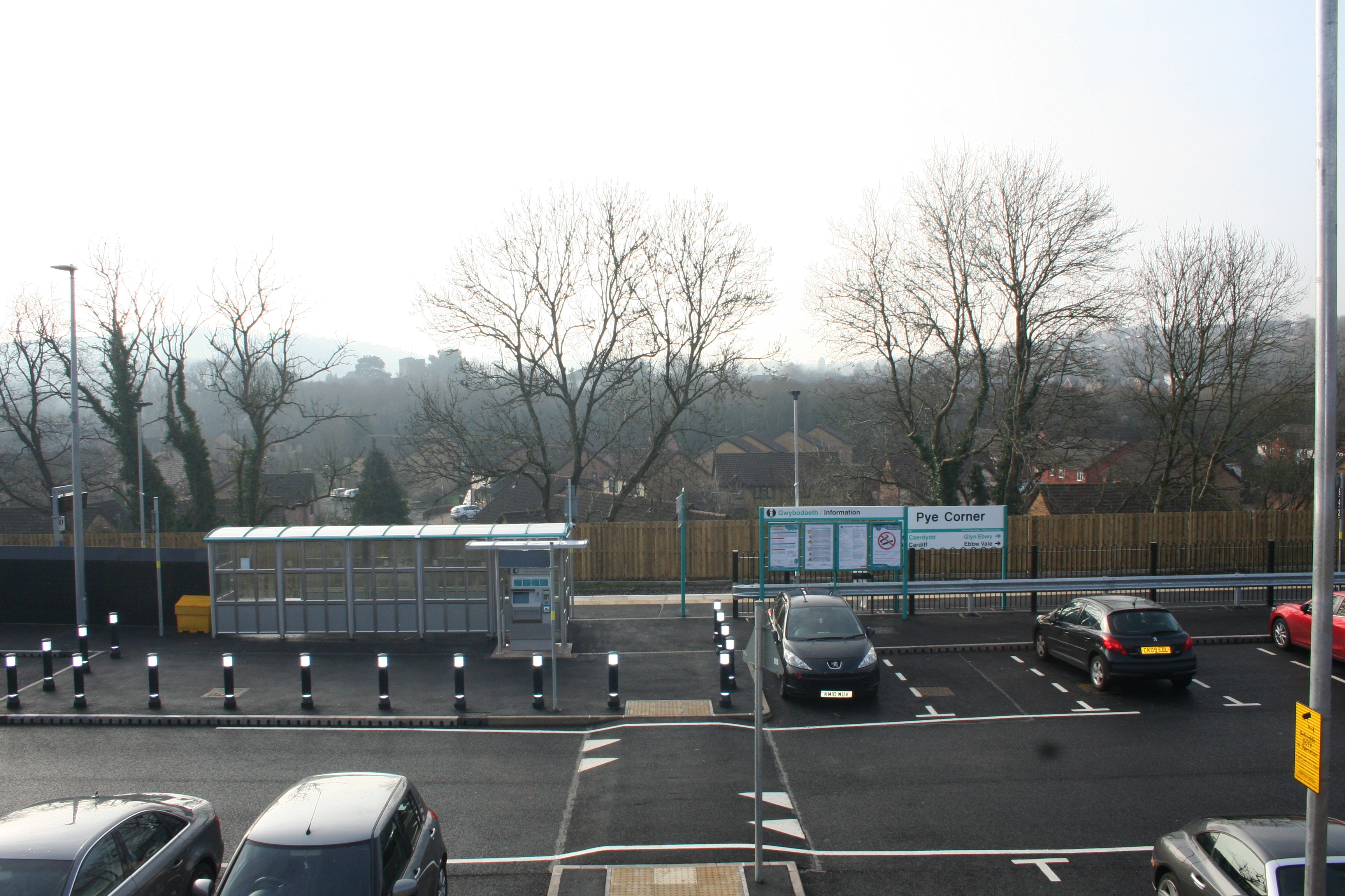
Pye Corner railway station
Pye Corner railway station is a station serving a residential area in the west of Newport, Wales, between the suburbs of Bassaleg and High Cross. It opened...

Fourteen Locks
Fourteen Locks (grid reference ST277886) is a series of locks, also known as the Cefn Flight, on the Crumlin arm of the Monmouthshire Canal at Rogerstone...

Newport West (UK Parliament constituency)
Newport West (Welsh: Gorllewin Casnewydd) is one of two parliamentary constituencies for the city of Newport, South Wales, in the House of Commons of the...
Nearby Amenities
Located within 500m of 51.586905,-3.0269165Have you been to Coed y Glasllwch?
Leave your review of Coed y Glasllwch below (or comments, questions and feedback).