Coed Garw

Wood, Forest in Monmouthshire

Wales

Coed Garw

Virgin Media van, Malpas Road, Newport Travelling north on the A4051 Malpas Road in November 2023.
Virgin Media van, Malpas Road, Newport Credit: Jaggery

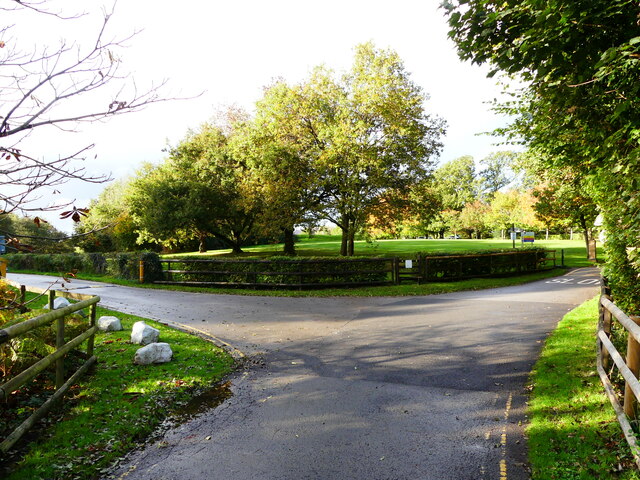
Coed Garw is a picturesque woodland located in Monmouthshire, Wales. Stretching over an area of approximately 200 acres, it is a haven for nature enthusiasts and outdoor adventurers. The name "Coed Garw" translates to "rough wood" in English, reflecting the untamed beauty of this forest.

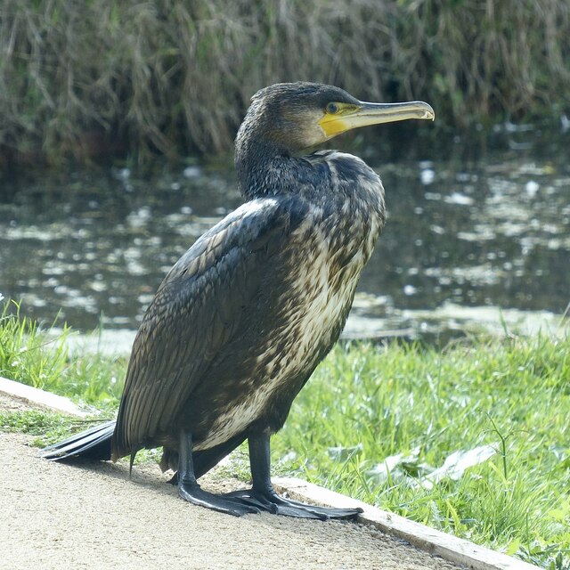
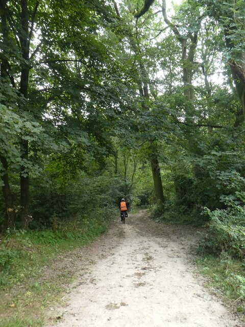
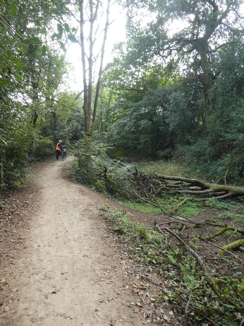
The woodland is primarily composed of native tree species such as oak, beech, and birch, creating a diverse and vibrant ecosystem. The dense canopy provides shelter for a variety of wildlife, including deer, badgers, foxes, and a wide range of bird species. This makes Coed Garw a popular destination for birdwatchers and wildlife photographers.

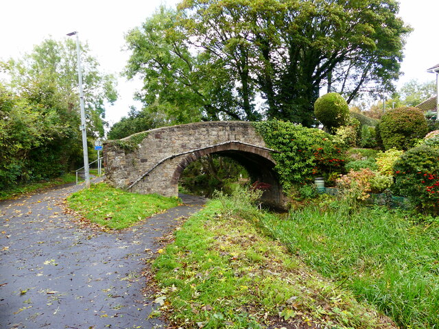
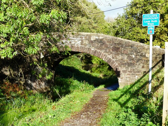
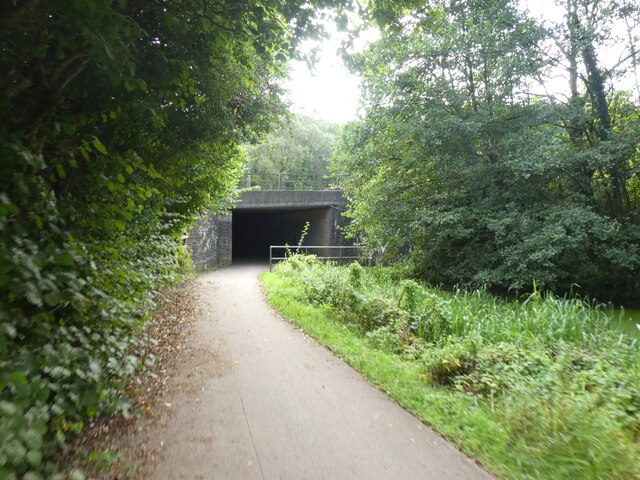
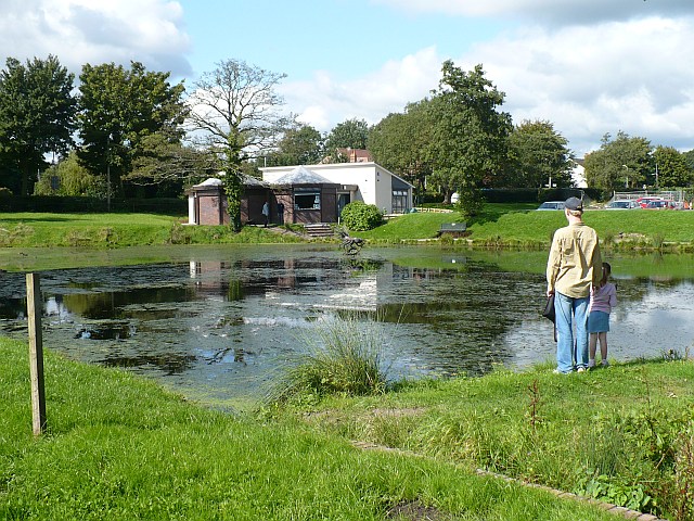
Traversing through Coed Garw, visitors can explore a network of well-maintained footpaths and trails, offering stunning views of the surrounding countryside. The forest is crisscrossed by the meandering Garw River, which adds to the tranquil atmosphere and provides opportunities for peaceful walks along its banks.

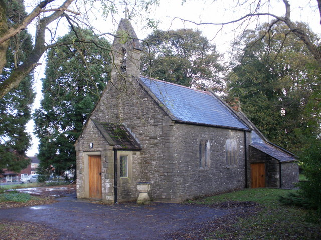
Coed Garw also boasts a rich history. It was once part of a larger estate and has remnants of ancient structures, including a stone circle and a hillfort, which speak to its historical significance. These archaeological features add an extra layer of intrigue for history enthusiasts and provide an opportunity to delve into the region's past.

Overall, Coed Garw is a captivating woodland that combines natural beauty, diverse wildlife, and a touch of history. Whether visitors are seeking a peaceful retreat in nature or an opportunity for outdoor exploration, Coed Garw offers a memorable experience for all who venture into its enchanting depths.

If you have any feedback on the listing, please let us know in the comments section below.

Coed Garw Images

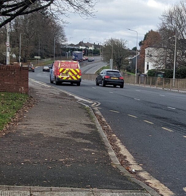
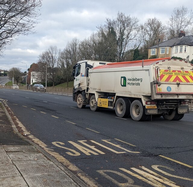
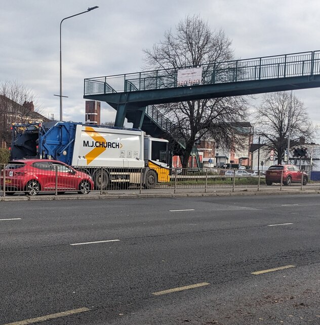
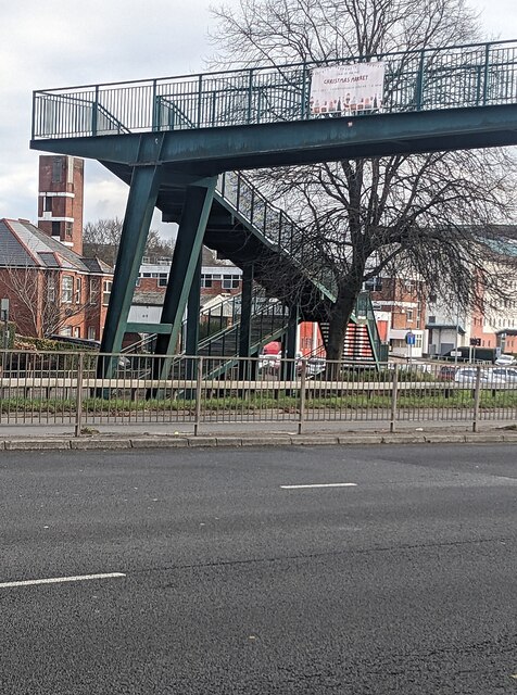
Images are sourced within 2km of 51.602465/-3.0336208 or Grid Reference ST2889. Thanks to Geograph Open Source API. All images are credited.

Virgin Media van, Malpas Road, Newport Travelling north on the A4051 Malpas Road in November 2023.
Virgin Media van, Malpas Road, Newport
Travelling north on the A4051 Malpas Road in November 2023.
Heidelberg Materials lorry, Malpas Road, Newport 4-axle highway maintenance lorry travelling north on the A4051 Malpas Road in November 2023. 
A yellow notice on the side of the lorry shows "BLIND SPOT Take Care".
Heidelberg Materials lorry, Malpas Road, Newport
4-axle highway maintenance lorry travelling north on the A4051 Malpas Road in November 2023. A yellow notice on the side of the lorry shows "BLIND SPOT Take Care".
MJ Church lorry, Malpas, Newport Refuse collection lorry travelling south on the A4051 Malpas Road in November 2023. 
The business's Head Office is Star Farm in Marshfield near Chippenham, Wiltshire.
MJ Church lorry, Malpas, Newport
Refuse collection lorry travelling south on the A4051 Malpas Road in November 2023. The business's Head Office is Star Farm in Marshfield near Chippenham, Wiltshire.
Christmas Market notice on a Malpas Road footbridge, Newport The notice on display in late November 2023 advertises
a Christmas Market in the nearby Christchurch Centre.
Christmas Market notice on a Malpas Road footbridge, Newport
The notice on display in late November 2023 advertises a Christmas Market in the nearby Christchurch Centre.
The Window Doctor white van, Malpas Road, Newport Text on the van travelling south on the A4051 Malpas Road in November 2023 includes
"Double glazing repair specialists"
The Window Doctor white van, Malpas Road, Newport
Text on the van travelling south on the A4051 Malpas Road in November 2023 includes "Double glazing repair specialists"
Fourteen Locks Visitor Centre, Newport Looking over the canal pound from the small shop in the visitor centre.
Fourteen Locks Visitor Centre, Newport
Looking over the canal pound from the small shop in the visitor centre.
Warning, Blue Algae, Fourteen Locks, Newport There have been several reports of blue algae on lakes and canals in the local area this summer.
The notice says:
No animals to be allowed in the water
Avoid contact with skin
No fishing
No swimming or paddling
Warning, Blue Algae, Fourteen Locks, Newport
There have been several reports of blue algae on lakes and canals in the local area this summer. The notice says: No animals to be allowed in the water Avoid contact with skin No fishing No swimming or paddling
Cyclists, heron and reflections, Fourteen Locks, Newport Viewed across the canal pound.
Cyclists, heron and reflections, Fourteen Locks, Newport
Viewed across the canal pound.
Lock and bridge, Fourteen Locks, Newport This is lock 21 on the Crumlin Branch of the Monmouthshire and Brecon Canal.
Behind is Pensarn Bridge (No 6) which is a minor road. Beyond that, a footbridge crosses the canal as it enters the pound by Fourteen Locks Visitor Centre.
The canal itself continues between the trees on the far right, descending a hill via a number of locks.
The Sirhowy Valley Walk long distance path and Cycle Route 47 are on the right hand side of the pound.
Lock and bridge, Fourteen Locks, Newport
This is lock 21 on the Crumlin Branch of the Monmouthshire and Brecon Canal. Behind is Pensarn Bridge (No 6) which is a minor road. Beyond that, a footbridge crosses the canal as it enters the pound by Fourteen Locks Visitor Centre. The canal itself continues between the trees on the far right, descending a hill via a number of locks. The Sirhowy Valley Walk long distance path and Cycle Route 47 are on the right hand side of the pound.
An obliging cormorant, Fourteen Locks, Newport At the edge of the canal pound by the visitor centre.
This cormorant was oblivious to passers by, enabling me to approach to within a few feet to get several pictures.
Two years earlier, a heron was similarly approachable at the same spot <a title="https://www.geograph.org.uk/photo/5787658" href="https://www.geograph.org.uk/photo/5787658">Link</a> .
An obliging cormorant, Fourteen Locks, Newport
At the edge of the canal pound by the visitor centre. This cormorant was oblivious to passers by, enabling me to approach to within a few feet to get several pictures. Two years earlier, a heron was similarly approachable at the same spot Link .
Bridge over the Monmouthshire-Brecon Canal, Rogerstone The bridge links Groes Road with Delius Close. The canal here is only fit for use by wildfowl.
Bridge over the Monmouthshire-Brecon Canal, Rogerstone
The bridge links Groes Road with Delius Close. The canal here is only fit for use by wildfowl.
Bridge over the Monmouthshire-Brecon Canal, and cycle route 47 sign, Rogerstone This bridge leads to a golf course.  See <a href="https://www.geograph.org.uk/photo/7000827">ST2689 : The road to the golf course from the canal bridge, Rogerstone</a>
Bridge over the Monmouthshire-Brecon Canal, and cycle route 47 sign, Rogerstone
The road to the golf course from the canal bridge, Rogerstone See <a href="https://www.geograph.org.uk/photo/7000822">ST2689 : Bridge over the Monmouthshire-Brecon Canal, and cycle route 47 sign, Rogerstone</a> for the bridge.
The road to the golf course from the canal bridge, Rogerstone
Houses in High Cross Road, Rogerstone
High Cross Road, Rogerstone Semi-detached houses on the road north-west of M4 J27
High Cross Road, Rogerstone
Semi-detached houses on the road north-west of M4 J27
Cycle route beside the Fourteen Locks
Cycle path in woodland by Fourteen Locks
Cycle route at foot of Fourteen Locks, with underpass beneath M4 The M4 is 190 miles long and runs from London to South Wales. Major centres close to the motorway include Reading, Swindon, Bristol, Newport, Cardiff and Swansea. The motorway was constructed between 1961 and 1996. The M4 originally crossed the first Severn Road Bridge. It has now been diverted to use the Second Severn Crossing and the motorway over the older bridge has been renumbered as M48.
Wikipedia: <span class="nowrap"><a title="http://en.wikipedia.org/wiki/M4_motorway" rel="nofollow ugc noopener" href="http://en.wikipedia.org/wiki/M4_motorway">Link</a><img style="margin-left:2px;" alt="External link" title="External link - shift click to open in new window" src="https://s1.geograph.org.uk/img/external.png" width="10" height="10"/></span>
Cycle route at foot of Fourteen Locks, with underpass beneath M4
The M4 is 190 miles long and runs from London to South Wales. Major centres close to the motorway include Reading, Swindon, Bristol, Newport, Cardiff and Swansea. The motorway was constructed between 1961 and 1996. The M4 originally crossed the first Severn Road Bridge. It has now been diverted to use the Second Severn Crossing and the motorway over the older bridge has been renumbered as M48. Wikipedia: LinkExternal link
Show me another place!

Coed Garw is located at Grid Ref: ST2889 (Lat: 51.602465, Lng: -3.0336208)

Unitary Authority: Newport

Police Authority: Gwent

What 3 Words

///radio.monkey.ruby. Near Newport

Related Wikis

Bettws, Newport

Bettws (Welsh: Betws) is a large modern housing estate, electoral ward and coterminous community (parish) of the city of Newport, South Wales. == Etymology... ==

Newport High School (Wales)

Newport High School (Welsh: Ysgol Uwchradd Casnewydd) is a co-educational secondary school in the Bettws district of the city of Newport, South Wales,...
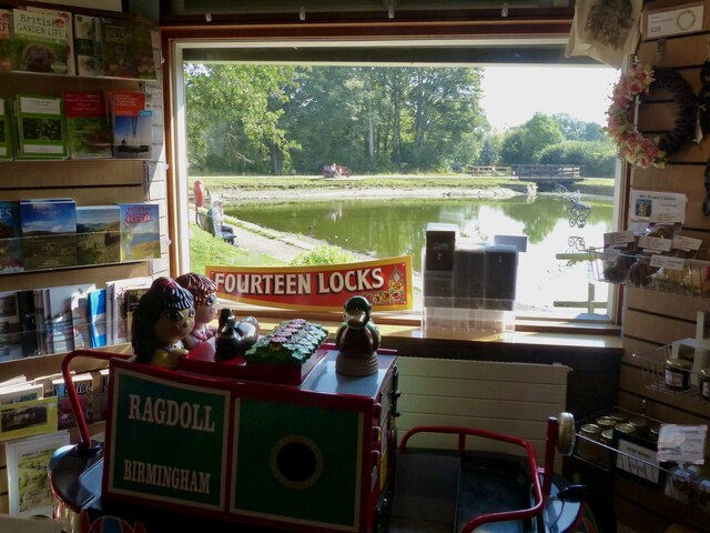
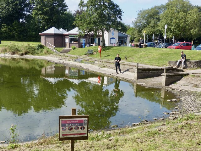
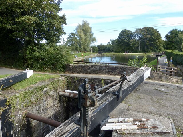
Fourteen Locks

Fourteen Locks (grid reference ST277886) is a series of locks, also known as the Cefn Flight, on the Crumlin arm of the Monmouthshire Canal at Rogerstone...

High Cross, Newport

High Cross is a suburb of the city of Newport, South Wales, and forms part of the community (parish) of Rogerstone. The majority of the housing in the...

Allt-yr-yn

Allt-yr-yn (Welsh: Allt-yr-ynn) is a suburb of the city of Newport, south-east Wales. == Name == Pronounced by English-speaking locals as "Olt-er-reen...

Ridgeway, Newport

Ridgeway is an area in Newport, Wales, in the electoral ward and community of Allt-yr-yn. It is well known for its ridge which overlooks Rogerstone and...

Raglan Barracks, Newport

Raglan Barracks is a military installation at Barrack Hill in Allt-yr-yn in Newport, Wales. == History == The barracks were built as a cavalry barracks...

Rogerstone

Rogerstone (Welsh: Tŷ du, meaning "Black house") is a large village and community (parish) in Newport, Wales. The area is governed by Newport City Council...

Nearby Amenities

Located within 500m of 51.602465,-3.0336208
Mini Roundabout
Direction: clockwise
Lat/Long: 51.6067463/-3.0343679
Direction: 125
Generator Method: photovoltaic
Generator Output Electricity: yes
Generator Solar Modules: 10
Generator Source: solar
Generator Type: solar_photovoltaic_panel
Location: roof
Power: generator
Lat/Long: 51.6068242/-3.0337138
Direction: SW
Generator Method: photovoltaic
Generator Output Electricity: yes
Generator Solar Modules: 12
Generator Source: solar
Generator Type: solar_photovoltaic_panel
Location: roof
Power: generator
Lat/Long: 51.6065456/-3.0360675
Direction: SW
Generator Method: photovoltaic
Generator Output Electricity: yes
Generator Solar Modules: 12
Generator Source: solar
Generator Type: solar_photovoltaic_panel
Location: roof
Power: generator
Lat/Long: 51.6063407/-3.0357966
Direction: SW
Generator Method: photovoltaic
Generator Output Electricity: yes
Generator Solar Modules: 12
Generator Source: solar
Generator Type: solar_photovoltaic_panel
Location: roof
Power: generator
Lat/Long: 51.6062674/-3.0356786
Direction: SE
Generator Method: photovoltaic
Generator Output Electricity: yes
Generator Solar Modules: 12
Generator Source: solar
Generator Type: solar_photovoltaic_panel
Location: roof
Power: generator
Lat/Long: 51.6067755/-3.0351663
Direction: SE
Generator Method: photovoltaic
Generator Output Electricity: yes
Generator Solar Modules: 10
Generator Source: solar
Generator Type: solar_photovoltaic_panel
Location: roof
Power: generator
Lat/Long: 51.6064873/-3.0350429
Direction: SE
Generator Method: photovoltaic
Generator Output Electricity: yes
Generator Solar Modules: 10
Generator Source: solar
Generator Type: solar_photovoltaic_panel
Location: roof
Power: generator
Lat/Long: 51.6060102/-3.0339415
Direction: 125
Generator Method: photovoltaic
Generator Output Electricity: yes
Generator Solar Modules: 14
Generator Source: solar
Generator Type: solar_photovoltaic_panel
Location: roof
Power: generator
Lat/Long: 51.6068754/-3.033683
Direction: 125
Generator Method: photovoltaic
Generator Output Electricity: yes
Generator Solar Modules: 12
Generator Source: solar
Generator Type: solar_photovoltaic_panel
Location: roof
Power: generator
Lat/Long: 51.6067821/-3.0332458
Direction: SSE
Generator Method: photovoltaic
Generator Output Electricity: yes
Generator Solar Modules: 12
Generator Source: solar
Generator Type: solar_photovoltaic_panel
Location: roof
Power: generator
Lat/Long: 51.6062924/-3.0331171
Direction: SSE
Generator Method: photovoltaic
Generator Output Electricity: yes
Generator Solar Modules: 14
Generator Source: solar
Generator Type: solar_photovoltaic_panel
Location: roof
Power: generator
Lat/Long: 51.606319/-3.0330098
Direction: 130
Generator Method: photovoltaic
Generator Output Electricity: yes
Generator Solar Modules: 10
Generator Source: solar
Generator Type: solar_photovoltaic_panel
Location: roof
Power: generator
Lat/Long: 51.6068154/-3.0327255
Direction: 130
Generator Method: photovoltaic
Generator Output Electricity: yes
Generator Solar Modules: 10
Generator Source: solar
Generator Type: solar_photovoltaic_panel
Location: roof
Power: generator
Lat/Long: 51.6068671/-3.0326718
Direction: 145
Generator Method: photovoltaic
Generator Output Electricity: yes
Generator Solar Modules: 17
Generator Source: solar
Generator Type: solar_photovoltaic_panel
Location: roof
Power: generator
Lat/Long: 51.6067788/-3.0316687
Direction: SSE
Generator Method: photovoltaic
Generator Output Electricity: yes
Generator Solar Modules: 12
Generator Source: solar
Generator Type: solar_photovoltaic_panel
Location: roof
Power: generator
Lat/Long: 51.6064023/-3.0322105
Direction: SSE
Generator Method: photovoltaic
Generator Output Electricity: yes
Generator Solar Modules: 12
Generator Source: solar
Generator Type: solar_photovoltaic_panel
Location: roof
Power: generator
Lat/Long: 51.6063673/-3.032468
The data included in this document is from www.openstreetmap.org. The data is made available under ODbL.

Have you been to Coed Garw?

Leave your review of Coed Garw below (or comments, questions and feedback).