The Lawn

Wood, Forest in Montgomeryshire

Wales

The Lawn

Emerging from the Rowley Brook valley The top of the footpath out of the deep valley containing the Rowley Brook, about to join the lane above Haywood Farm.
Emerging from the Rowley Brook valley Credit: Richard Law

The requested URL returned error: 429 Too Many Requests

If you have any feedback on the listing, please let us know in the comments section below.
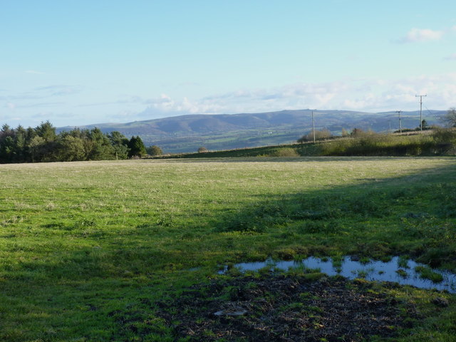
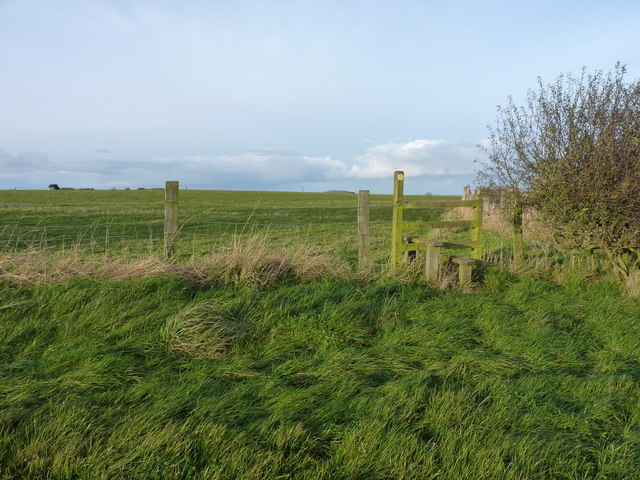
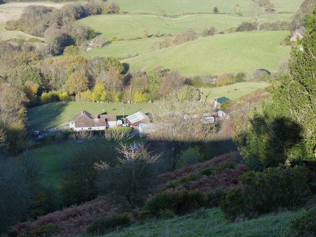
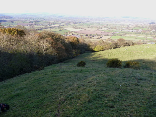
The Lawn Images

Images are sourced within 2km of 52.662283/-3.0585989 or Grid Reference SJ2807. Thanks to Geograph Open Source API. All images are credited.

Emerging from the Rowley Brook valley The top of the footpath out of the deep valley containing the Rowley Brook, about to join the lane above Haywood Farm.
Emerging from the Rowley Brook valley
The top of the footpath out of the deep valley containing the Rowley Brook, about to join the lane above Haywood Farm.
Dutch barn near Haywood Farm Full of baled straw for winter sheep fodder, just like a barn should be.
Dutch barn near Haywood Farm
Full of baled straw for winter sheep fodder, just like a barn should be.
A field above Haywood Farm Sheep graze in one of the many fields on the Long Mountain.
A field above Haywood Farm
Sheep graze in one of the many fields on the Long Mountain.
Towards The Stiperstones ridge from the Long Mountain
Corner of a field and a stile On the path between North Rowens and the lane above Forest Farm.
Corner of a field and a stile
On the path between North Rowens and the lane above Forest Farm.
Wood Leasowes Farm At the northern end of Long Mountain.
Wood Leasowes Farm
At the northern end of Long Mountain.
Entrance to Haywood Farm
Footpath to Rowans Wood
Wood Leasowes Farm At the northern end of Long Mountain.
Wood Leasowes Farm
At the northern end of Long Mountain.
The border hedge A line of rather poorly-maintained hawthorns on the Welsh/English border.
The border hedge
A line of rather poorly-maintained hawthorns on the Welsh/English border.
One of the two tumuli on Heldre Hill Just on the Welsh side of the border, this is the better preserved of the two tumuli marked on the map. The Coflein website gives this the name 'Knaps, Barrow 1' but suggests that historic excavation revealed little of interest <span class="nowrap"><a title="http://www.coflein.gov.uk/en/site/306952/details/KNAPS%2C+BARROW+I/" rel="nofollow ugc noopener" href="http://www.coflein.gov.uk/en/site/306952/details/KNAPS%2C+BARROW+I/">Link</a><img style="margin-left:2px;" alt="External link" title="External link - shift click to open in new window" src="https://s1.geograph.org.uk/img/external.png" width="10" height="10"/></span>
One of the two tumuli on Heldre Hill
Just on the Welsh side of the border, this is the better preserved of the two tumuli marked on the map. The Coflein website gives this the name 'Knaps, Barrow 1' but suggests that historic excavation revealed little of interest LinkExternal link
Heading across Heldre Hill Much of this part of the hill is mapped as CROW Access Land, and this sheep-track avoids the need to lose a couple of hundred feet following the footpath down to Brunant and back up. Which is rather handy.
Heading across Heldre Hill
Much of this part of the hill is mapped as CROW Access Land, and this sheep-track avoids the need to lose a couple of hundred feet following the footpath down to Brunant and back up. Which is rather handy.
The settlement at Brunant From high on Heldre Hill above the farms.
The settlement at Brunant
From high on Heldre Hill above the farms.
Sheep grazing above Upper Heldre An unnamed stream flows off the hill in the gully behind the sheep, then crosses the lane just west of the farm of Upper Heldre.
Sheep grazing above Upper Heldre
An unnamed stream flows off the hill in the gully behind the sheep, then crosses the lane just west of the farm of Upper Heldre.
Fields and woodland above Upper Heldre
In the upper gully of the stream A sheep track crosses the tiny watercourse that flows down towards Upper Heldre.
In the upper gully of the stream
A sheep track crosses the tiny watercourse that flows down towards Upper Heldre.
A stile and a scrawny hedge The fallen tree of <a href="https://www.geograph.org.uk/photo/581476">SJ2808 : Obstacle course</a> has been removed, and so has the fingerpost beside the stile.
A stile and a scrawny hedge
The fallen tree of SJ2808 : Obstacle course has been removed, and so has the fingerpost beside the stile.
Along the Roman Road Part of the ancient routeway across the Long Mountain.
Along the Roman Road
Part of the ancient routeway across the Long Mountain.
Show me another place!

The Lawn is located at Grid Ref: SJ2807 (Lat: 52.662283, Lng: -3.0585989)

Unitary Authority: Powys

Police Authority: Dyfed Powys

What 3 Words

///will.skidding.dusters. Near Welshpool, Powys

Nearby Locations

The Lawn

Related Wikis

Siege of Exeter (c. 630)

According to some early medieval sources, the siege of Exeter or siege of Caer-Uisc was a military conflict that took place in or around 630 CE, between...

Long Mountain (Powys)

Long Mountain (Welsh: Cefn Digoll) is a hill straddling the boundary between Powys (Wales) and Shropshire (England) to the east of Welshpool though the...

Battle of Cefn Digoll

The Battle of Cefn Digoll, also known as the Battle of the Long Mynd was a battle fought in 630 at Long Mountain near Welshpool in modern-day Wales. The...

Battle of Buttington

The Battle of Buttington was fought in 893 between a Viking army and an alliance of Anglo-Saxons and Welsh. The annals for 893 reported that a large Viking...

Nearby Amenities

Located within 500m of 52.662283,-3.0585989
Place: farm
Lat/Long: 52.6620867/-3.0589511
Direction: S
Generator Method: photovoltaic
Generator Output Electricity: yes
Generator Solar Modules: 16
Generator Source: solar
Generator Type: solar_photovoltaic_panel
Location: roof
Power: generator
Lat/Long: 52.6592655/-3.0611797
The data included in this document is from www.openstreetmap.org. The data is made available under ODbL.

Have you been to The Lawn?

Leave your review of The Lawn below (or comments, questions and feedback).