Forsa Kelda

Lake, Pool, Pond, Freshwater Marsh in Orkney

Scotland

Forsa Kelda

Hillside properties There's a mix of farms and houses in this area on a gentle hillside at Beaquoy.
Hillside properties Credit: Gordon Hatton

Forsa Kelda is a picturesque freshwater marsh located in the Orkney Islands, Scotland. Nestled amidst the rolling green hills of the countryside, it is a tranquil haven for both wildlife and visitors alike. Stretching across an area of approximately 10 acres, this natural water body consists of a combination of a lake, pool, pond, and freshwater marsh.

The water in Forsa Kelda is crystal clear and sourced from underground springs, giving it a pristine and refreshing quality. The lake, with its calm and still waters, serves as a habitat for various aquatic flora and fauna. The pool and pond areas are shallower and provide a breeding ground for a diverse range of amphibians and insects.

The surrounding freshwater marshland is a rich ecosystem, teeming with life. Tall reeds, sedges, and rushes dominate the landscape, creating a lush and verdant environment. The marsh is home to a plethora of bird species, including herons, ducks, and various wading birds. These avian inhabitants can be observed gracefully gliding across the water or perched on the vegetation, creating a picturesque scene.

For nature enthusiasts, Forsa Kelda offers a wonderful opportunity to observe and appreciate the delicate balance of a wetland ecosystem. The tranquil setting also provides a serene escape for those seeking peace and solitude. Whether it be birdwatching, photography, or simply enjoying the beauty of nature, Forsa Kelda is a hidden gem waiting to be explored.

If you have any feedback on the listing, please let us know in the comments section below.
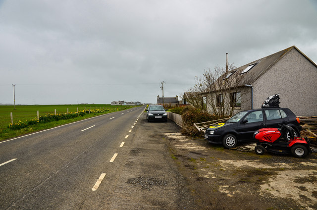
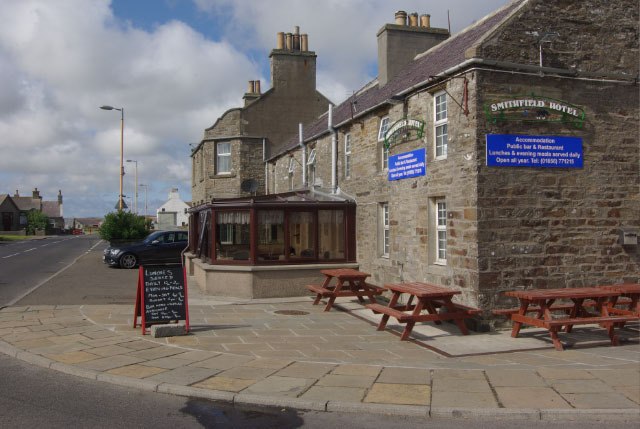
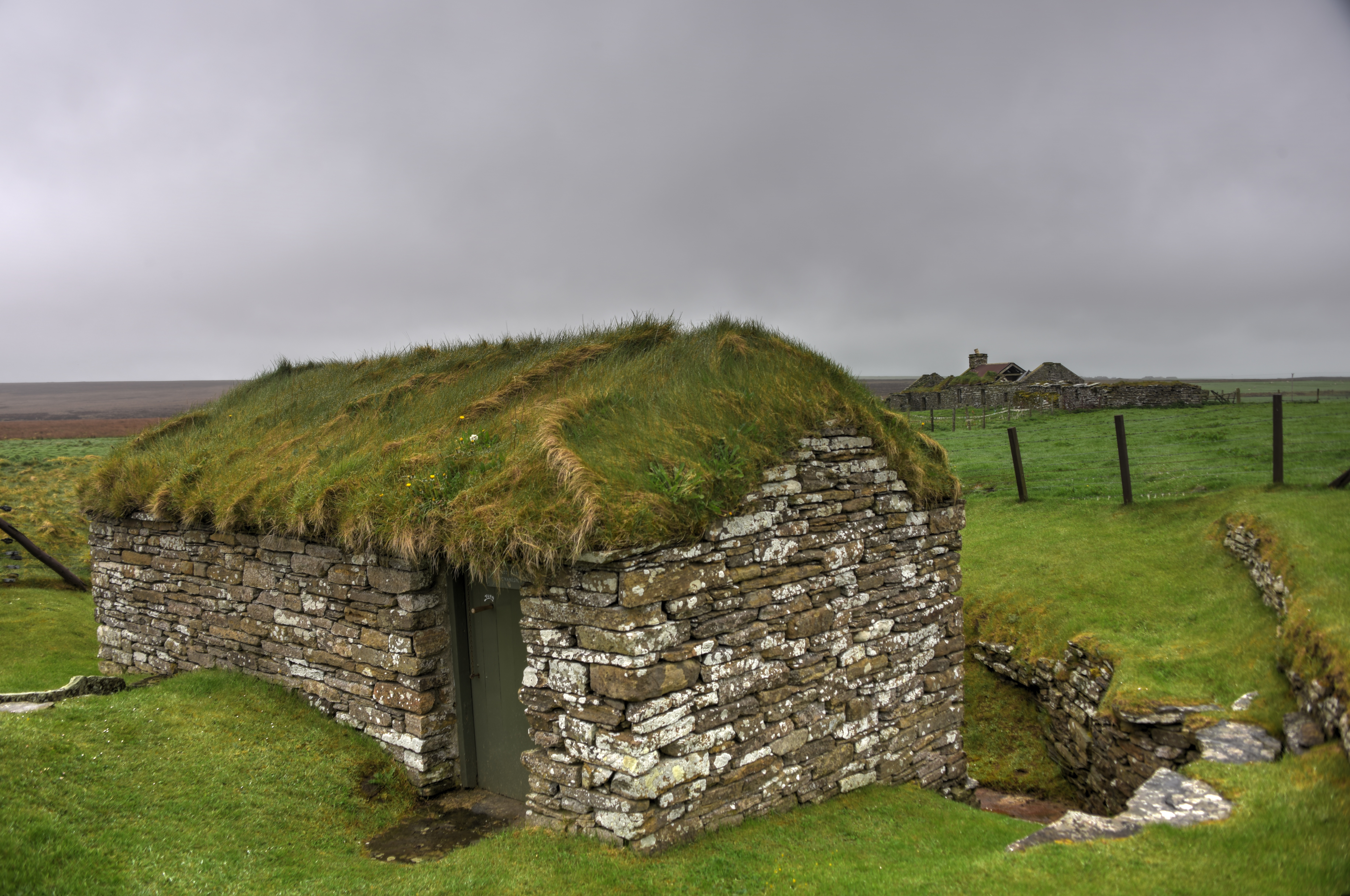
Forsa Kelda Images

Images are sourced within 2km of 59.089177/-3.2524913 or Grid Reference HY2823. Thanks to Geograph Open Source API. All images are credited.

Hillside properties There's a mix of farms and houses in this area on a gentle hillside at Beaquoy.
Hillside properties
There's a mix of farms and houses in this area on a gentle hillside at Beaquoy.
Pillbox, former RNAS Twatt, Orkney The pillbox lies on the southeastern edge of the airfield and is adjacent to the A967.  The ridges on the walls show that corrugated iron was used as shuttering when it was built.
The airfield control tower can be seen on the left.
Pillbox, former RNAS Twatt, Orkney
The pillbox lies on the southeastern edge of the airfield and is adjacent to the A967. The ridges on the walls show that corrugated iron was used as shuttering when it was built. The airfield control tower can be seen on the left.
Twatt: postbox № KW17 107 and phone These two red amenities stand at a lay-by on the A967 just to the south of the main junction in the village. The postbox is emptied on weekdays and Saturdays, at 12:15pm.
Twatt: postbox № KW17 107 and phone
These two red amenities stand at a lay-by on the A967 just to the south of the main junction in the village. The postbox is emptied on weekdays and Saturdays, at 12:15pm.
Twatt: the church This little church has, I believe, in recent years been transferred from the church into private ownership, taking with it the post office which was run from within on a part-time basis.
Twatt: the church
This little church has, I believe, in recent years been transferred from the church into private ownership, taking with it the post office which was run from within on a part-time basis.
Twatt: bench outside the church Despite the retention of the sign at <a href="https://www.geograph.org.uk/photo/2631096">HY2624 : Twatt: the church</a>, the church was sold in 2009 and is now redundant.
Twatt: bench outside the church
Despite the retention of the sign at HY2624 : Twatt: the church, the church was sold in 2009 and is now redundant.
Dwelling In Twatt Cavan Farm off the A967.
Dwelling In Twatt
Cavan Farm off the A967.
Forsakelda Track to the dwelling and Geo of Banks off the A986.
Forsakelda
Track to the dwelling and Geo of Banks off the A986.
Loch of Banks Although drained the area is still a haven for hundreds of geese.
Loch of Banks
Although drained the area is still a haven for hundreds of geese.
Banks View along the A986 past the farm
Banks
View along the A986 past the farm
Nether Bigging Farm on the lower slopes of Greeny Hill.
Nether Bigging
Farm on the lower slopes of Greeny Hill.
Geese in the Fields Hundreds of geese on the lower slopes of Greeny Hill.
Geese in the Fields
Hundreds of geese on the lower slopes of Greeny Hill.
A986 at Lochlands Chalets Looking south towards Dounby.
A986 at Lochlands Chalets
Looking south towards Dounby.
Geese, Curlews and Oyster Catchers All enjoying the Loch of the Banks.
Geese, Curlews and Oyster Catchers
All enjoying the Loch of the Banks.
Batman and Robin Odd that they left their vehicles outside Lochend by the A986 on Orkney, who knows why!
Batman and Robin
Odd that they left their vehicles outside Lochend by the A986 on Orkney, who knows why!
Greeny Farm Appropriately sited on the slopes of Greeny Hill.
Greeny Farm
Appropriately sited on the slopes of Greeny Hill.
Ben Mari Looking north west along the A986 towards Loch of Banks.
Ben Mari
Looking north west along the A986 towards Loch of Banks.
Water Mill By the A986 north west of Dounby.
Water Mill
By the A986 north west of Dounby.
Meadowside Looking to the north west along the A986.
Meadowside
Looking to the north west along the A986.
Show me another place!

Forsa Kelda is located at Grid Ref: HY2823 (Lat: 59.089177, Lng: -3.2524913)

Unitary Authority: Orkney Islands

Police Authority: Highlands and Islands

What 3 Words

///marked.glad.paddocks. Near Sandwick, Orkney Islands

Nearby Locations

Forsa Kelda

Related Wikis

Twatt, Orkney

Twatt is a settlement in the parish of Birsay on the Mainland of Orkney, Scotland. It was previously the location of RNAS Twatt (HMS Tern), 1940–1949....

RNAS Twatt (HMS Tern)

Royal Naval Air Station Twatt, (RNAS Twatt; or HMS Tern) is a former Royal Navy Air Station located near Twatt, Orkney, Scotland. It was built by the Admiralty...

Dounby

Dounby (UK: ) is a village on Mainland in Orkney, in the north of Scotland. Dounby village is situated at the crossroads of what are now the A986 and B9057...

Loch of Boardhouse

The Loch of Boardhouse is a freshwater loch in the parish of Birsay in the north west of the mainland of Orkney, Scotland. It acts as a reservoir for public...

RAF Skeabrae

Royal Air Force Skeabrae, or more simply RAF Skeabrae, is a former Royal Air Force station located in Orkney, Mainland, United Kingdom. == History == The...

Loch of Hundland

The Loch of Hundland is a shallow freshwater loch in the parish of Birsay in the north west of the mainland of Orkney, Scotland. The loch lies between...

Dounby Click Mill

Dounby Click Mill is a mill located on the Mainland of Orkney, in Scotland. It is the last of the horizontal or "Norse" watermills of Orkney still in working...

Sandwick, Orkney

Sandwick (Old Norse: Sandvík; Norn: Sandvik) is a parish on the west coast of Mainland, Orkney, Scotland, 4 miles (6.4 km) north of Stromness.The parish...

Nearby Amenities

Located within 500m of 59.089177,-3.2524913
Greeny
Place: hamlet
Lat/Long: 59.0873021/-3.247938
Addr Housename: Upper Fea
Lat/Long: 59.0871207/-3.2465243
Generator Method: photovoltaic
Generator Output Electricity: yes
Generator Source: solar
Generator Type: solar_photovoltaic_panel
Power: generator
Lat/Long: 59.0861512/-3.2564139
Power: pole
Lat/Long: 59.0850513/-3.2492224
Power: pole
Lat/Long: 59.0856022/-3.2485668
Power: pole
Lat/Long: 59.0861989/-3.2478546
Power: pole
Lat/Long: 59.086806/-3.2471443
Power: pole
Lat/Long: 59.0869744/-3.2472233
Power: pole
Lat/Long: 59.0876252/-3.2475126
Power: pole
Lat/Long: 59.0882696/-3.2477858
Power: pole
Lat/Long: 59.0889359/-3.2480994
Power: pole
Lat/Long: 59.089596/-3.2483787
Power: pole
Lat/Long: 59.0903174/-3.2486963
Power: pole
Lat/Long: 59.0910211/-3.2490059
Power: pole
Lat/Long: 59.090651/-3.2524377
Power: pole
Lat/Long: 59.0907373/-3.251687
Power: pole
Lat/Long: 59.0908028/-3.2510436
Power: pole
Lat/Long: 59.0908776/-3.2503556
Power: pole
Lat/Long: 59.0909514/-3.249706
Power: pole
Lat/Long: 59.0911021/-3.2482694
Power: pole
Lat/Long: 59.0911874/-3.2475369
Power: pole
Lat/Long: 59.0912643/-3.2468206
Power: pole
Lat/Long: 59.0915116/-3.2455964
Power: pole
Lat/Long: 59.0869235/-3.2470735
Power: pole
Lat/Long: 59.0851209/-3.2556672
Power: pole
Lat/Long: 59.085175/-3.2549003
Power: pole
Lat/Long: 59.0852612/-3.2536457
Power: pole
Lat/Long: 59.0853434/-3.2523871
Power: pole
Lat/Long: 59.0854276/-3.2511285
Power: pole
Lat/Long: 59.0855222/-3.2498841
Power: pole
Lat/Long: 59.0923112/-3.2577119
Power: pole
Lat/Long: 59.0924183/-3.2563847
Power: pole
Lat/Long: 59.0925265/-3.2550274
Power: pole
Lat/Long: 59.0926312/-3.2536701
Power: pole
Lat/Long: 59.0922315/-3.2525189
Power: pole
Lat/Long: 59.0918246/-3.2513539
Power: pole
Lat/Long: 59.0914296/-3.2501726
Generator Method: wind_turbine
Generator Output Electricity: yes
Generator Source: wind
Generator Type: horizontal_axis
Power: generator
Lat/Long: 59.0915395/-3.2486084
Generator Method: wind_turbine
Generator Output Electricity: yes
Generator Source: wind
Generator Type: horizontal_axis
Power: generator
Lat/Long: 59.0886705/-3.2492649
Generator Method: wind_turbine
Generator Output Electricity: yes
Generator Source: wind
Generator Type: horizontal_axis
Power: generator
Lat/Long: 59.0879202/-3.2513932
Generator Method: wind_turbine
Generator Output Electricity: yes
Generator Source: wind
Generator Type: horizontal_axis
Power: generator
Lat/Long: 59.0872922/-3.2531963
The data included in this document is from www.openstreetmap.org. The data is made available under ODbL.

Have you been to Forsa Kelda?

Leave your review of Forsa Kelda below (or comments, questions and feedback).