Greenburn Reservoir

Lake, Pool, Pond, Freshwater Marsh in Lancashire South Lakeland

England

Greenburn Reservoir

The Bridge over Wrynose Beck
The Bridge over Wrynose Beck Credit: Andy Beecroft

Greenburn Reservoir is a man-made freshwater lake located in Lancashire, England. Covering an area of approximately 15 acres, this reservoir serves as an important water source for the surrounding area. It was created in the early 20th century by damming the Greenburn Brook, a small tributary of the River Calder.

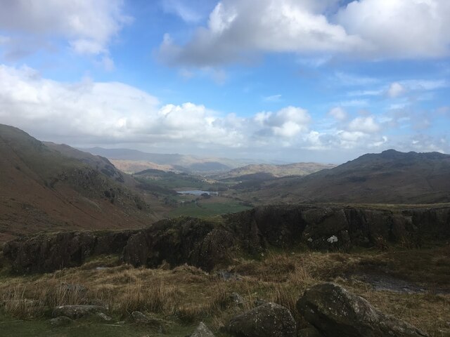
Surrounded by picturesque countryside, Greenburn Reservoir is a popular destination for outdoor enthusiasts and nature lovers. The reservoir's calm waters provide the perfect setting for a range of recreational activities, including fishing, boating, and kayaking. Anglers are drawn to the reservoir's abundant fish population, which includes species such as brown trout, rainbow trout, and perch.

The surrounding area of Greenburn Reservoir is teeming with wildlife, making it an ideal spot for birdwatching and nature walks. The reservoir is home to a variety of bird species, including mallards, tufted ducks, and great crested grebes. Additionally, the surrounding marshland provides a habitat for numerous plant species, creating a vibrant ecosystem.

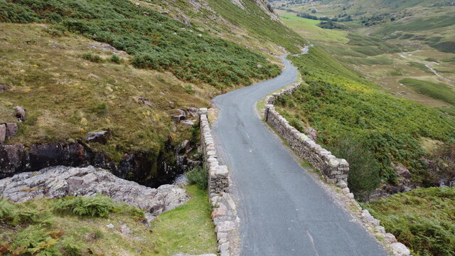
Although Greenburn Reservoir primarily serves as a water supply, it also plays a role in flood prevention for the local area. The reservoir's dam helps regulate water levels during periods of heavy rainfall, reducing the risk of flooding downstream.

Overall, Greenburn Reservoir offers a peaceful and scenic environment where visitors can enjoy a range of outdoor activities while appreciating the natural beauty of Lancashire's countryside.

If you have any feedback on the listing, please let us know in the comments section below.

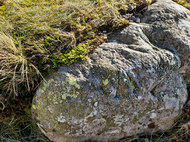
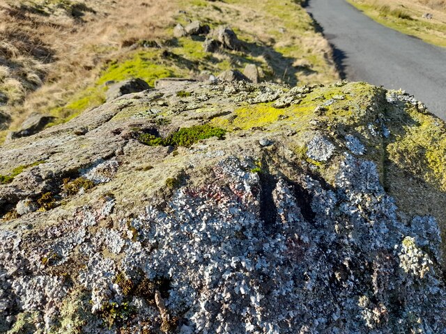
Greenburn Reservoir Images

Images are sourced within 2km of 54.408667/-3.1064045 or Grid Reference NY2802. Thanks to Geograph Open Source API. All images are credited.

The Bridge over Wrynose Beck
Wrynose Beck and the Road Bridge over it
Wrynose Pass The valley looking down towards Greenburn Beck
Wrynose Pass
The valley looking down towards Greenburn Beck
Ordnance Survey Rivet This OS rivet can be found on a rock NW side of the road. It marks a point 263.082m above mean sea level.
Ordnance Survey Rivet
This OS rivet can be found on a rock NW side of the road. It marks a point 263.082m above mean sea level.
Ordnance Survey Rivet This OS rivet can be found on a rock north side of the road. It marks a point 277.545m above mean sea level.
Ordnance Survey Rivet
This OS rivet can be found on a rock north side of the road. It marks a point 277.545m above mean sea level.
Ordnance Survey Rivet This OS rivet can be found on a rock NW side of the road. It marks a point 284.406m above mean sea level.
Ordnance Survey Rivet
This OS rivet can be found on a rock NW side of the road. It marks a point 284.406m above mean sea level.
Ordnance Survey Rivet This OS rivet can be found on a rock SE side of the road. It marks a point 299.472m above mean sea level.
Ordnance Survey Rivet
This OS rivet can be found on a rock SE side of the road. It marks a point 299.472m above mean sea level.
Ordnance Survey Rivet This OS rivet can be found on a rock SE side of the road. It marks a point 324.481m above mean sea level.
Ordnance Survey Rivet
This OS rivet can be found on a rock SE side of the road. It marks a point 324.481m above mean sea level.
Ordnance Survey Rivet This OS rivet can be found on a rock south side of the road. It marks a point 344.650m above mean sea level.
Ordnance Survey Rivet
This OS rivet can be found on a rock south side of the road. It marks a point 344.650m above mean sea level.
Ordnance Survey Pivot This OS pivot can be found on a rock south side of the road. It marks a point 366.745m above mean sea level.
Ordnance Survey Pivot
This OS pivot can be found on a rock south side of the road. It marks a point 366.745m above mean sea level.
Ordnance Survey Rivet This OS rivet can be found on a rock south side of the road. It marks a point 387.812m above mean sea level.
Ordnance Survey Rivet
This OS rivet can be found on a rock south side of the road. It marks a point 387.812m above mean sea level.
Ordnance Survey Cut Mark This OS cut mark can be found on a rock SE side of the road. It marks a point 358.439m above mean sea level.
Ordnance Survey Cut Mark
This OS cut mark can be found on a rock SE side of the road. It marks a point 358.439m above mean sea level.
Ordnance Survey Rivet This OS rivet can be found on a rock NW side of the road. It marks a point 379.116m above mean sea level.
Ordnance Survey Rivet
This OS rivet can be found on a rock NW side of the road. It marks a point 379.116m above mean sea level.
Ordnance Survey Rivet This OS rivet can be found on a rock NW side of the road. It marks a point 339.017m above mean sea level.
Ordnance Survey Rivet
This OS rivet can be found on a rock NW side of the road. It marks a point 339.017m above mean sea level.
Ordnance Survey Rivet This OS rivet can be found on a rock NW side of the road. It marks a point 317.215m above mean sea level.
Ordnance Survey Rivet
This OS rivet can be found on a rock NW side of the road. It marks a point 317.215m above mean sea level.
Ordnance Survey Pivot This OS pivot can be found on a rock NW side of the road.
Ordnance Survey Pivot
This OS pivot can be found on a rock NW side of the road.
Ordnance Survey Rivet This OS rivet can be found on a rock north side of the road. It marks a point 299.762m above mean sea level.
Ordnance Survey Rivet
This OS rivet can be found on a rock north side of the road. It marks a point 299.762m above mean sea level.
Ordnance Survey Rivet This OS rivet can be found on the retaining wall SE side of the road. It marks a point 282.915m above mean sea level.
Ordnance Survey Rivet
This OS rivet can be found on the retaining wall SE side of the road. It marks a point 282.915m above mean sea level.
Show me another place!

Greenburn Reservoir is located at Grid Ref: NY2802 (Lat: 54.408667, Lng: -3.1064045)

Administrative County: Cumbria

District: South Lakeland

Police Authority: Cumbria

What 3 Words

///bats.shipyards.contact. Near Ambleside, Cumbria

Nearby Locations

Greenburn Reservoir

Related Wikis

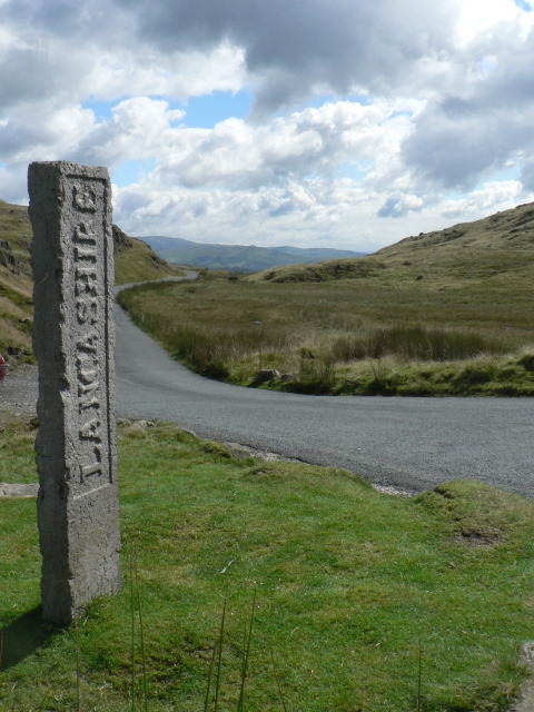
Three Shire Stone (Lake District)

The Three Shire Stone is a boundary stone that marks the location where the historic English counties of Lancashire, Cumberland and Westmorland meet. The...

Wrynose Pass

The Wrynose Pass is a mountain pass in the Lake District National Park in Cumbria, England between the Duddon Valley and Little Langdale. == Etymology... ==

River Brathay

The Brathay is a river of north-west England. Its name comes from Old Norse and means broad river. It rises at a point 1289 feet (393 m) above sea level...

Wetherlam

Wetherlam (763 m) is a mountain in the English Lake District. It is the most northerly of the Coniston Fells, the range of fells to the north-west of Coniston...

Nearby Amenities

Located within 500m of 54.408667,-3.1064045
Rough Crags
Place: locality
Lat/Long: 54.4123564/-3.1051102
High End
Place: locality
Lat/Long: 54.4115322/-3.1096378
The data included in this document is from www.openstreetmap.org. The data is made available under ODbL.

Have you been to Greenburn Reservoir?

Leave your review of Greenburn Reservoir below (or comments, questions and feedback).