Grangemill

Settlement in Derbyshire Derbyshire Dales

England

Grangemill

The A5012 Winding up through the wooded valley near Via Gellia.
The A5012 Credit: David Lally

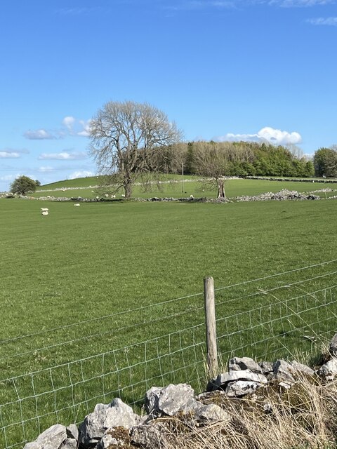
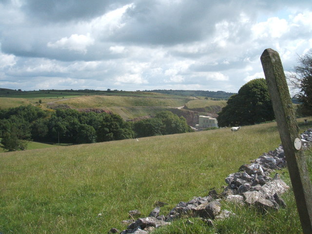
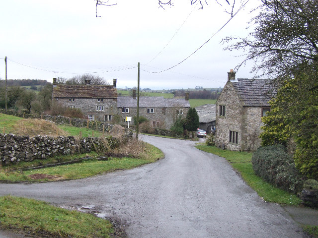
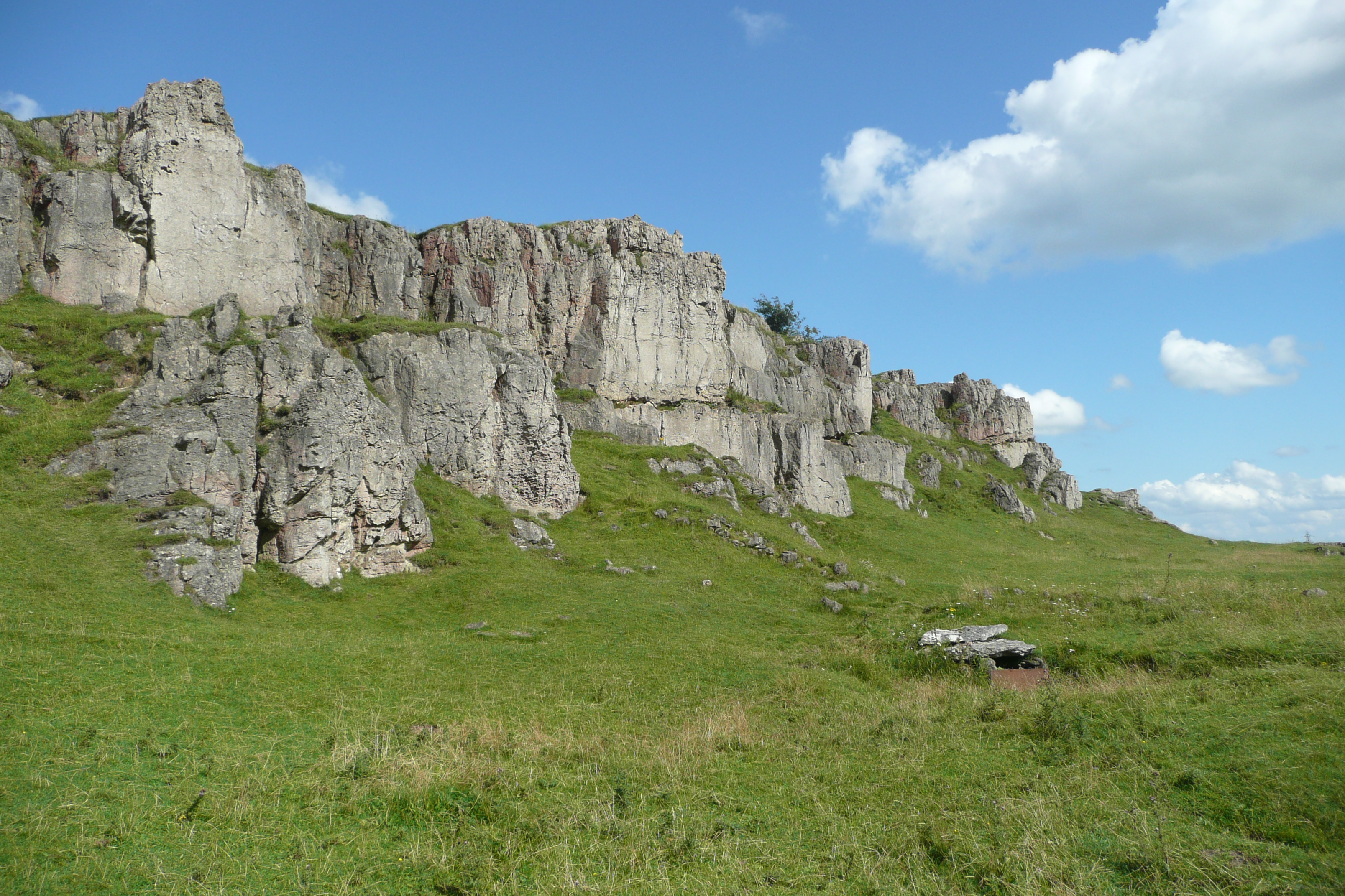
Grangemill is a small village located in the county of Derbyshire, England. Situated in the southern part of the Peak District National Park, it lies around 12 miles north of the town of Ashbourne and 5 miles south of Matlock. The village is nestled in a picturesque valley, surrounded by rolling hills and scenic landscapes.

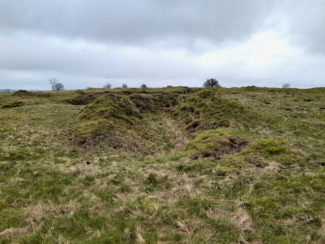
Historically, Grangemill was known for its lead mining industry, which thrived during the 18th and 19th centuries. Today, evidence of this industrial past can still be seen in the form of old mine shafts and remnants of mining infrastructure. The village retains its rural charm and tranquility, with a small population of around 200 residents.

One of the notable landmarks in Grangemill is the charming St. Edmund's Church, which dates back to the 12th century. The church features a beautiful Norman doorway and a stunning stained glass window. It is a popular destination for both locals and visitors interested in the village's architectural heritage.

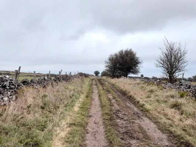
The surrounding area offers numerous opportunities for outdoor activities, including hiking, cycling, and birdwatching. The nearby Carsington Water, a large reservoir, provides further recreational opportunities such as sailing, windsurfing, and fishing.

Grangemill may be a small village, but it offers a peaceful and idyllic setting for those seeking a break from the hustle and bustle of city life. With its rich history, natural beauty, and welcoming community, it is a hidden gem within the heart of Derbyshire.

If you have any feedback on the listing, please let us know in the comments section below.

Grangemill Images

Images are sourced within 2km of 53.115011/-1.636914 or Grid Reference SK2457. Thanks to Geograph Open Source API. All images are credited.

The A5012 Winding up through the wooded valley near Via Gellia.
The A5012
Winding up through the wooded valley near Via Gellia.
Whitelows Farm Farm yard and house, with a few of very old household item in the yard awaiting to be sold.
Whitelows Farm
Farm yard and house, with a few of very old household item in the yard awaiting to be sold.
Derelict Farmhouse The long abandoned farmhouse at Whitelows, the farming equipment is all up for sale due to the death of the farmer.
Derelict Farmhouse
The long abandoned farmhouse at Whitelows, the farming equipment is all up for sale due to the death of the farmer.
Footpath and notice The auctioneers have posted a notice on the footpath gate, and fine views across to  Carsington Pasture with the wind turbines.
Footpath and notice
The auctioneers have posted a notice on the footpath gate, and fine views across to Carsington Pasture with the wind turbines.
The sale in progress The farming equipment up for auction at Whitelows farm.
The sale in progress
The farming equipment up for auction at Whitelows farm.
Greenlow Hill Across the grassland towards Greenlow Hill.
Greenlow Hill
Across the grassland towards Greenlow Hill.
Old lead shafts Winstermoor Farm is in the background.
Old lead shafts
Winstermoor Farm is in the background.
A narrow squeeze stile This stile was particularly narrow at the bottom. Too narrow for a German Shepherd.
A narrow squeeze stile
This stile was particularly narrow at the bottom. Too narrow for a German Shepherd.
Old limekiln
Old limekiln
Pond at Leys Farm
Pond at Leys Farm
Green Lane
Green Lane
Tree lined road north of Curzon Lodge A narrow belt of trees lines the road on each side; it has been there for over 100 years in its current extent
Tree lined road north of Curzon Lodge
A narrow belt of trees lines the road on each side; it has been there for over 100 years in its current extent
B 5056 Road Looking SSE down the B5056. A black building can just be seen, this is part of the Electric Substation complex.
B 5056 Road
Looking SSE down the B5056. A black building can just be seen, this is part of the Electric Substation complex.
B5056 road Looking North West up the B5056, across the limestone and grass fields.
B5056 road
Looking North West up the B5056, across the limestone and grass fields.
Limestone Gate posts A long disused narrow gateway up to the steep rocky grassland.
Limestone Gate posts
A long disused narrow gateway up to the steep rocky grassland.
Shothouse Spring This spring generally runs all year, having been a major source of water for the local farms until mains water arrived in the area.
Shothouse Spring
This spring generally runs all year, having been a major source of water for the local farms until mains water arrived in the area.
Shothouse spring and woodland The spring was visible from the nearby road, but now is partly covered by recently planted woodland.
Shothouse spring and woodland
The spring was visible from the nearby road, but now is partly covered by recently planted woodland.
From Aldwark to Grangehill Quarry: aerial 2015
Show me another place!

Grangemill is located at Grid Ref: SK2457 (Lat: 53.115011, Lng: -1.636914)

Administrative County: Derbyshire

District: Derbyshire Dales

Police Authority: Derbyshire

What 3 Words

///width.scanty.seasonal. Near Cromford, Derbyshire

Nearby Locations

Ible Ible Grangemill

Related Wikis

Grangemill

Grangemill is a village in the English county of Derbyshire. The hamlet is made up of a cluster of houses, a farm and a pub called the Hollybush. There...

Ible

Ible (pronounced 'eyebull', or 'ib-ull') is a hamlet in Derbyshire, England, just within the Peak District National Park.It is near the Via Gellia valley...

Ivonbrook Grange

Ivonbrook Grange is a civil parish within the Derbyshire Dales district, in the county of Derbyshire, England. Largely rural, Ivonbrook Grange's population...

Aldwark, Derbyshire

Aldwark (Old English "the old fortification") is a small upland village and parish in the Derbyshire Dales district of Derbyshire, England, about 8 miles...

West Derbyshire (UK Parliament constituency)

West Derbyshire was a county constituency represented in the House of Commons of the Parliament of the United Kingdom. From 1885, until it was replaced...

Beans and Bacon mine

The Beans and Bacon mine is a disused lead mine on Bonsall Moor near the village of Bonsall, Derbyshire, United Kingdom. The nearest large town is Matlock...

Longcliffe

Longcliffe is a crossroads hamlet in the English county of Derbyshire. It lies on the B5056 road where it is crossed by the Brassington-Elton road. The...

Harboro' Rocks

Harboro' Rocks (or Harborough Rocks) is a dolomitic limestone hill near the village of Brassington in the Derbyshire Peak District. The summit is 379 metres...

Nearby Amenities

Located within 500m of 53.115011,-1.636914
Give Way
Direction: backward
Lat/Long: 53.1152963/-1.6376183
Grangemill
Created By: Potlatch 0.10f
Place: hamlet
Wikidata: Q5595707
Lat/Long: 53.1158254/-1.6377666
Barrier: stile
Material: wood
Stile: stepover
Lat/Long: 53.1171684/-1.6313541
Barrier: stile
Lat/Long: 53.1194573/-1.6360687
Hollybush Inn
Disused Amenity: pub
Wikidata: Q26403161
Lat/Long: 53.1156314/-1.6377219
Barrier: stile
Material: wood
Source: survey;gps
Stile: stepover
Lat/Long: 53.1163993/-1.6317092
Barrier: stile
Material: stone
Source: survey;bing
Stile: squeezer
Lat/Long: 53.116633/-1.6324093
Barrier: stile
Material: stone
Source: survey;gps
Stile: squeezer
Lat/Long: 53.1152364/-1.6310315
Post Box
Operator: Royal Mail
Ref: DE4 332
Lat/Long: 53.1160168/-1.6371879
Barrier: stile
Lat/Long: 53.114792/-1.6325021
Barrier: stile
Material: wood
Source: survey;bing
Stile: stepover
Lat/Long: 53.1158174/-1.636355
Power: tower
Lat/Long: 53.1137257/-1.6364296
Power: tower
Lat/Long: 53.1141923/-1.6363183
Power: tower
Lat/Long: 53.1151482/-1.6383013
Power: tower
Lat/Long: 53.1174925/-1.6395262
Power: pole
Lat/Long: 53.1114884/-1.6369127
Power: tower
Lat/Long: 53.1124757/-1.6364711
Power: pole
Lat/Long: 53.1125204/-1.6368442
Power: pole
Lat/Long: 53.1135299/-1.6368012
Power: pole
Lat/Long: 53.1141932/-1.6373429
Power: pole
Lat/Long: 53.1145372/-1.6381663
Power: pole
Lat/Long: 53.1149997/-1.6393144
Power: pole
Lat/Long: 53.1158272/-1.6403431
Power: pole
Lat/Long: 53.1166531/-1.6413911
Power: pole
Lat/Long: 53.1174952/-1.6424571
Barrier: stile
Material: stone
Source: survey;gps
Stile: squeezer
Lat/Long: 53.1133452/-1.6302411
Barrier: stile
Material: stone
Source: survey;gps
Stile: squeezer
Lat/Long: 53.1164903/-1.6302948
Tourism: camp_site
Lat/Long: 53.1154858/-1.6390282
Give Way
Direction: forward
Lat/Long: 53.115359/-1.63746
Barrier: cattle_grid
Lat/Long: 53.1165112/-1.6439557
The data included in this document is from www.openstreetmap.org. The data is made available under ODbL.

Have you been to Grangemill?

Leave your review of Grangemill below (or comments, questions and feedback).