Grangemouth
Settlement in Stirlingshire
Scotland
Grangemouth

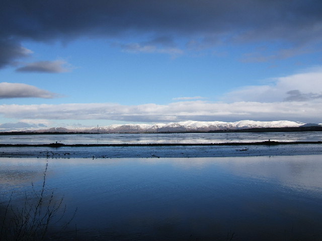
Grangemouth is a town located in the county of Stirlingshire, Scotland. Situated on the southern bank of the River Forth, it lies approximately 3 miles east of Falkirk and 23 miles northwest of Edinburgh. With a population of around 17,000 residents, it is a significant industrial town known for its petrochemical industry and deep-water port.
The town's history can be traced back to the 18th century when it was primarily an agricultural area. However, the discovery of natural gas and oil in the North Sea in the 1960s led to the establishment of the Grangemouth Refinery and Petrochemical Complex, which quickly became one of the largest industrial sites in Scotland. This facility is responsible for the refining of crude oil and the production of various chemicals, contributing significantly to the local economy.
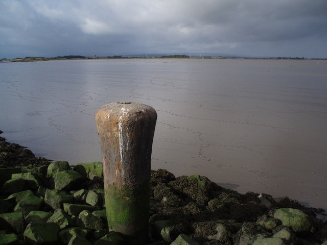
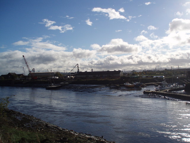
Grangemouth is also home to Scotland's largest container terminal, which handles a significant portion of the country's international trade. The port plays a crucial role in the import and export of goods, particularly in the chemical and manufacturing industries. Additionally, the town is well-connected to the national road and rail network, further enhancing its accessibility and transport links.
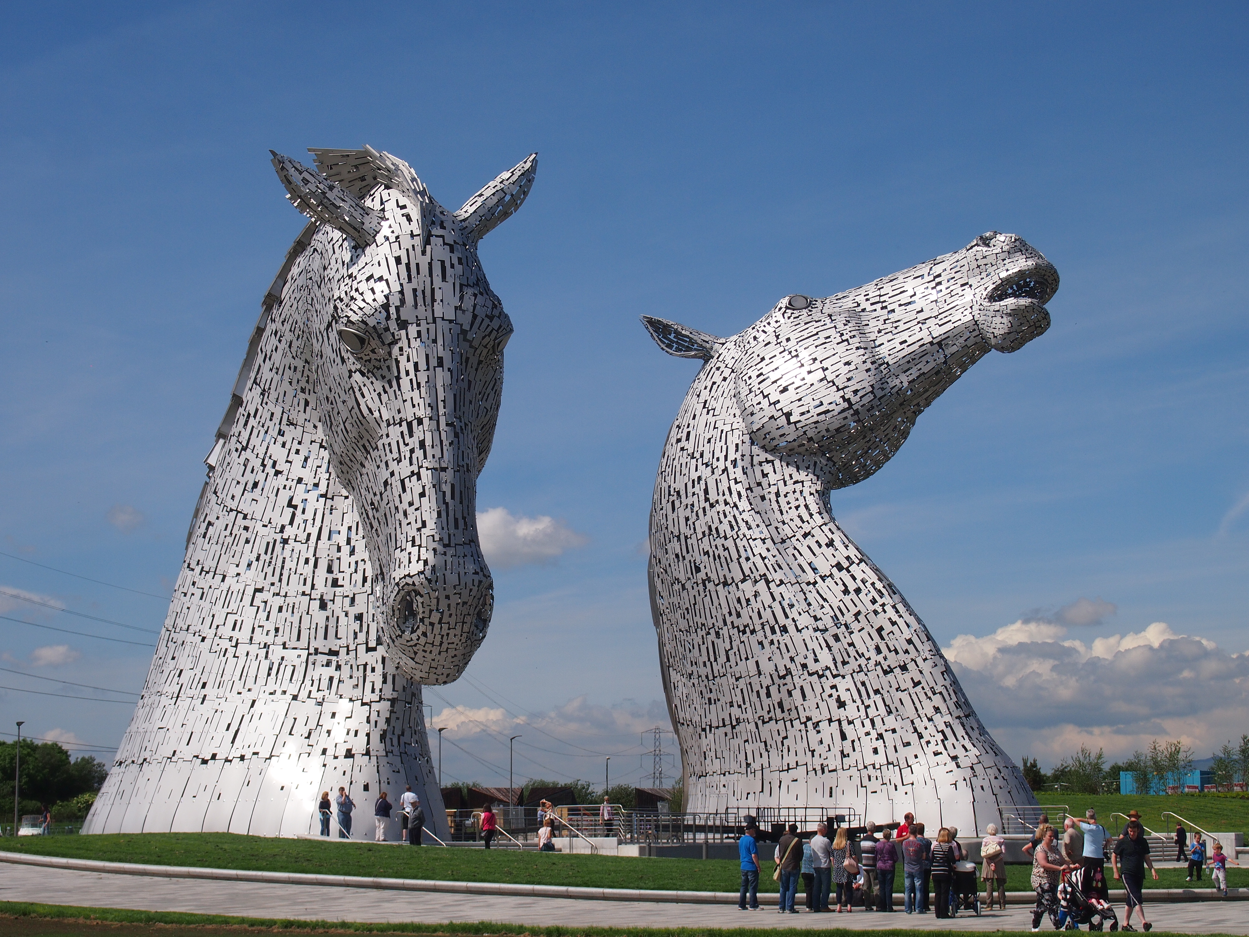
In terms of amenities, Grangemouth offers a range of services to its residents, including schools, healthcare facilities, shopping centers, and recreational spaces. The town is also surrounded by natural beauty, with nearby attractions such as the Falkirk Wheel and the Kelpies, which attract visitors from both near and far.
Overall, Grangemouth is a thriving industrial town with a rich history and a vital role in Scotland's economy.
If you have any feedback on the listing, please let us know in the comments section below.
Grangemouth Images
Images are sourced within 2km of 56.019607/-3.721918 or Grid Reference NS9282. Thanks to Geograph Open Source API. All images are credited.


Grangemouth is located at Grid Ref: NS9282 (Lat: 56.019607, Lng: -3.721918)
Unitary Authority: Falkirk
Police Authority: Forth Valley
What 3 Words
///regretted.response.bystander. Near Grangemouth, Falkirk
Nearby Locations
Related Wikis
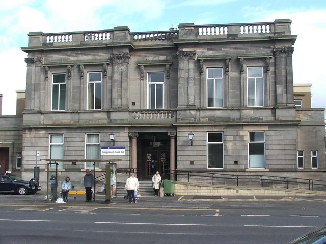
Grangemouth Town Hall
Grangemouth Town Hall is a municipal structure in Bo'ness Road, Grangemouth, Scotland. The structure was the meeting place of Grangemouth Burgh Council...

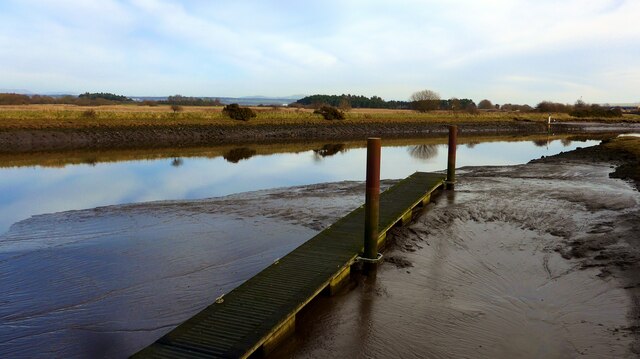
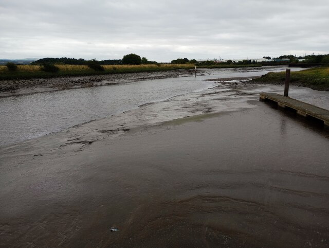
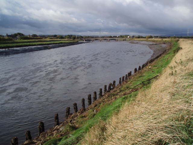
River Carron, Forth
The Carron (Gaelic: Carrann) is a river in central Scotland, rising in the Campsie Fells and flowing along Strathcarron into the Firth of Forth. It has...

Grangemouth
Grangemouth (Scots: Grangemooth; Scottish Gaelic: Inbhir Ghrainnse, pronounced [ˈiɲɪɾʲ ˈɣɾaiɲʃə]) is a town in the Falkirk council area, Scotland. Historically...
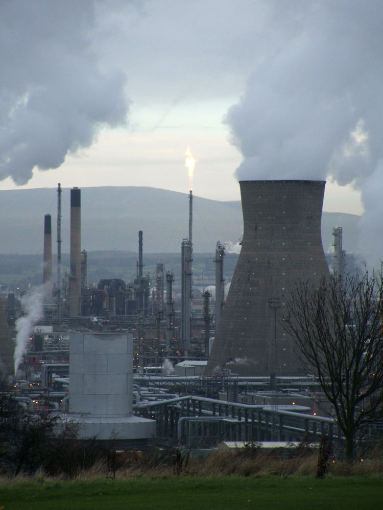
Grangemouth Refinery
Grangemouth Refinery is an oil refinery complex located on the Firth of Forth in Grangemouth, Scotland, currently operated by Petroineos. It is the only...

Glensburgh
Glensburgh is a very small and old hamlet situated on the south bank of the River Carron, 1.1 miles (1.8 km) north-west of Grangemouth. Originally built...

Grangemouth TMD
Grangemouth TMD was a traction maintenance depot located in Grangemouth, Scotland. The depot was situated on the Edinburgh to Dunblane Line and was near...

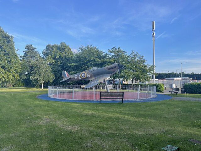
RAF Grangemouth
Royal Air Force Grangemouth or more simply RAF Grangemouth is a former Royal Air Force station located 3 mi (4.8 km) north east of Falkirk, Stirlingshire...
The Helix (Falkirk)
The Helix was a land transformation project to improve the connections between and around 16 communities in Falkirk Council, Scotland, including the eastern...
Nearby Amenities
Located within 500m of 56.019607,-3.721918Have you been to Grangemouth?
Leave your review of Grangemouth below (or comments, questions and feedback).