Ible

Settlement in Derbyshire Derbyshire Dales

England

Ible

The A5012 Winding up through the wooded valley near Via Gellia.
The A5012 Credit: David Lally

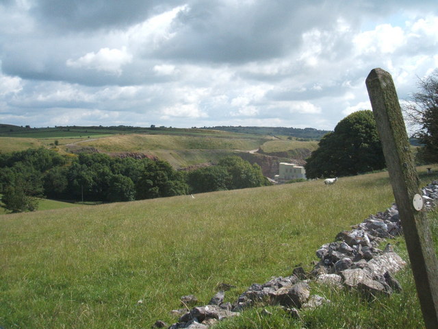
Ible is a small village located in the Derbyshire Dales district of Derbyshire, England. Situated on the eastern edge of the Peak District National Park, Ible is nestled within a picturesque countryside setting, surrounded by rolling hills and lush green landscapes.

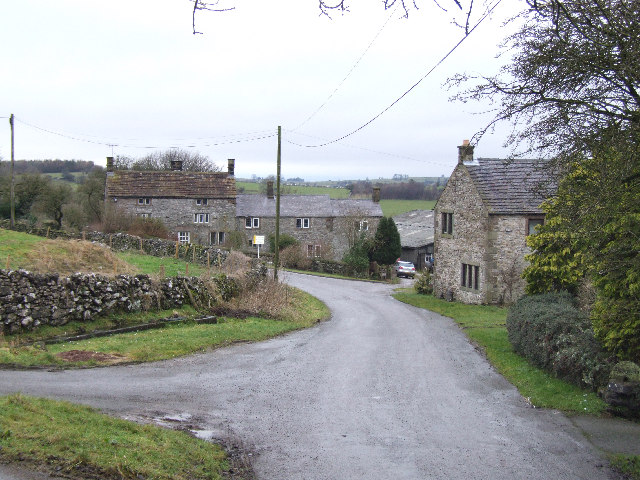
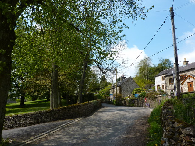
The village is home to a relatively small population, with a close-knit community that takes pride in its rural heritage. The traditional stone-built houses and charming cottages give Ible a quintessential English village feel. Many of these buildings date back several centuries, adding to the area's historical charm.

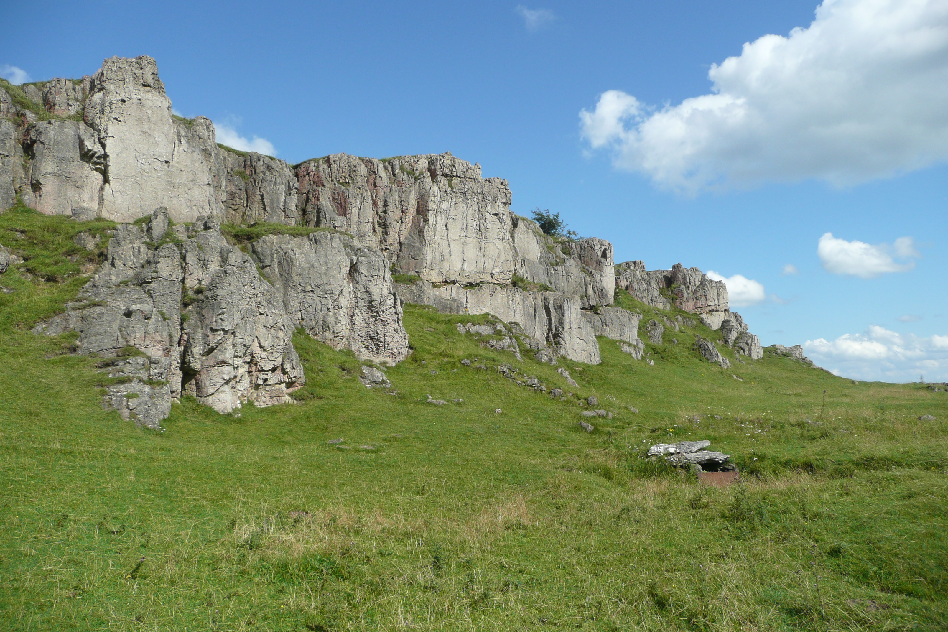
Ible is known for its tranquil atmosphere and scenic beauty, making it a popular destination for nature lovers and outdoor enthusiasts. The village is surrounded by a network of walking trails and paths, offering stunning views of the surrounding countryside, including nearby Dovedale and the River Dove.

Despite its small size, Ible does have some amenities for residents and visitors. There is a local pub, known for its warm hospitality and traditional British pub fare. The village also hosts annual events and fairs that bring the community together.

For those seeking a peaceful retreat or a base for exploring the natural wonders of the Peak District, Ible offers a serene and idyllic setting. Its untouched landscapes and historic charm make it a hidden gem in the Derbyshire countryside.

If you have any feedback on the listing, please let us know in the comments section below.
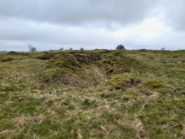
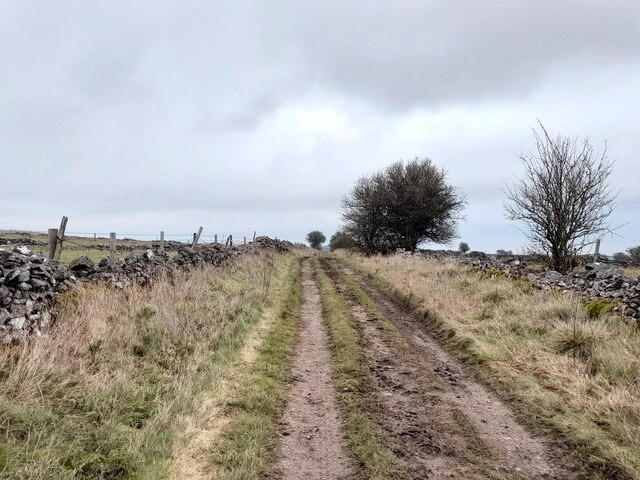
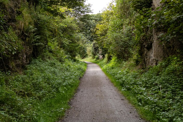
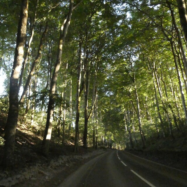
Ible Images

Images are sourced within 2km of 53.10998/-1.629069 or Grid Reference SK2457. Thanks to Geograph Open Source API. All images are credited.

The A5012 Winding up through the wooded valley near Via Gellia.
The A5012
Winding up through the wooded valley near Via Gellia.
Old limestone workings below Harboro Rocks A popular climbing area on the rocks, with old and modern limestone workings all around
Old limestone workings below Harboro Rocks
A popular climbing area on the rocks, with old and modern limestone workings all around
High Peak Trail in Derbyshire Former railway line, cruelly cut by Beeching in 1967, but now a delightful walking and cycling trail.
High Peak Trail in Derbyshire
Former railway line, cruelly cut by Beeching in 1967, but now a delightful walking and cycling trail.
Whitelows Farm Farm yard and house, with a few of very old household item in the yard awaiting to be sold.
Whitelows Farm
Farm yard and house, with a few of very old household item in the yard awaiting to be sold.
Derelict Farmhouse The long abandoned farmhouse at Whitelows, the farming equipment is all up for sale due to the death of the farmer.
Derelict Farmhouse
The long abandoned farmhouse at Whitelows, the farming equipment is all up for sale due to the death of the farmer.
Footpath and notice The auctioneers have posted a notice on the footpath gate, and fine views across to  Carsington Pasture with the wind turbines.
Footpath and notice
The auctioneers have posted a notice on the footpath gate, and fine views across to Carsington Pasture with the wind turbines.
The sale in progress The farming equipment up for auction at Whitelows farm.
The sale in progress
The farming equipment up for auction at Whitelows farm.
A narrow squeeze stile This stile was particularly narrow at the bottom. Too narrow for a German Shepherd.
A narrow squeeze stile
This stile was particularly narrow at the bottom. Too narrow for a German Shepherd.
Old limekiln
Old limekiln
Pond at Leys Farm
Pond at Leys Farm
Green Lane
Green Lane
Harboro Rocks Viewed from the Mid-Shires Way path.
Harboro Rocks
Viewed from the Mid-Shires Way path.
Harboro Rocks Old quarry workings at Harboro Rocks.
Harboro Rocks
Old quarry workings at Harboro Rocks.
Clay Shooting Venue
Clay Shooting Venue
Mechanical Hay Rake A mechanical hay rake on Harboro Farm.
Mechanical Hay Rake
A mechanical hay rake on Harboro Farm.
High Peak Trail On the trackbed of the dismantled Cromford and High Peak Railway.  Also part of the Midshires Way.
High Peak Trail
On the trackbed of the dismantled Cromford and High Peak Railway. Also part of the Midshires Way.
Tree lined road north of Curzon Lodge A narrow belt of trees lines the road on each side; it has been there for over 100 years in its current extent
Tree lined road north of Curzon Lodge
A narrow belt of trees lines the road on each side; it has been there for over 100 years in its current extent
Former quarry and Harboro' Rocks
Show me another place!

Ible is located at Grid Ref: SK2457 (Lat: 53.10998, Lng: -1.629069)

Administrative County: Derbyshire

District: Derbyshire Dales

Police Authority: Derbyshire

What 3 Words

///lordship.partners.dupe. Near Cromford, Derbyshire

Nearby Locations

Grangemill Ible Ible

Related Wikis

Ible

Ible (pronounced 'eyebull', or 'ib-ull') is a hamlet in Derbyshire, England, just within the Peak District National Park.It is near the Via Gellia valley...

Grangemill

Grangemill is a village in the English county of Derbyshire. The hamlet is made up of a cluster of houses, a farm and a pub called the Hollybush. There...

Ivonbrook Grange

Ivonbrook Grange is a civil parish within the Derbyshire Dales district, in the county of Derbyshire, England. Largely rural, Ivonbrook Grange's population...

West Derbyshire (UK Parliament constituency)

West Derbyshire was a county constituency represented in the House of Commons of the Parliament of the United Kingdom. From 1885, until it was replaced...

Aldwark, Derbyshire

Aldwark (Old English "the old fortification") is a small upland village and parish in the Derbyshire Dales district of Derbyshire, England, about 8 miles...

Beans and Bacon mine

The Beans and Bacon mine is a disused lead mine on Bonsall Moor near the village of Bonsall, Derbyshire, United Kingdom. The nearest large town is Matlock...

Harboro' Rocks

Harboro' Rocks (or Harborough Rocks) is a dolomitic limestone hill near the village of Brassington in the Derbyshire Peak District. The summit is 379 metres...

Slaley, Derbyshire

Slaley is a hamlet in the civil parish of Bonsall, in the Derbyshire Dales district, in the county of Derbyshire, England. The hamlet is located to the...

Nearby Amenities

Located within 500m of 53.10998,-1.629069
Ible
Is In: Derbyshire, England, UK
Place: hamlet
Wikidata: Q2222062
Wikipedia: en:Ible
Lat/Long: 53.1102577/-1.6302326
Barrier: stile
Material: metal
Source: survey;gps
Stile: stepover
Lat/Long: 53.1100532/-1.6356349
Barrier: stile
Material: metal
Stile: squeezer
Lat/Long: 53.1101535/-1.6355592
Barrier: stile
Material: wood
Stile: stepover
Lat/Long: 53.1102541/-1.6323421
Barrier: stile
Lat/Long: 53.1116875/-1.6266058
Barrier: stile
Lat/Long: 53.111756/-1.6265888
Barrier: stile
Lat/Long: 53.1125729/-1.6262822
Barrier: stile
Material: stone
Stile: squeezer
Lat/Long: 53.1127912/-1.6301287
Post Box
Operator: Royal Mail
Ref: DE4 334
Lat/Long: 53.1099853/-1.6290969
Barrier: stile
Material: wood
Stile: stepover
Lat/Long: 53.1098981/-1.6271597
Barrier: stile
Material: stone
Stile: squeezer
Lat/Long: 53.1101016/-1.6266551
Barrier: stile
Lat/Long: 53.1109127/-1.6220073
Barrier: stile
Material: stone
Stile: squeezer
Lat/Long: 53.1107286/-1.6235471
Barrier: stile
Material: stone
Stile: squeezer
Lat/Long: 53.110683/-1.6240649
Barrier: stile
Material: wood
Stile: stepover
Lat/Long: 53.110813/-1.6230183
Barrier: stile
Material: stone
Source: survey;gps
Stile: squeezer
Lat/Long: 53.1133452/-1.6302411
Barrier: stile
Material: stone
Source: survey;gps
Stile: stepover
Lat/Long: 53.1097074/-1.6287978
Barrier: stile
Material: stone
Source: survey;gps
Stile: squeezer
Lat/Long: 53.1099252/-1.6286489
Direction: 175
Generator Method: photovoltaic
Generator Output Electricity: yes
Generator Solar Modules: 13
Generator Source: solar
Generator Type: solar_photovoltaic_panel
Location: roof
Power: generator
Lat/Long: 53.1111442/-1.6299858
Barrier: stile
Material: stone
Source: survey;gps
Stile: squeezer
Lat/Long: 53.1105645/-1.630373
Barrier: stile
Material: stone
Source: survey;gps
Stile: squeezer
Lat/Long: 53.1104979/-1.6250556
The data included in this document is from www.openstreetmap.org. The data is made available under ODbL.

Have you been to Ible?

Leave your review of Ible below (or comments, questions and feedback).