Ibberton

Settlement in Dorset

England

Ibberton

Pigs, Pigs, Pigs Pigs on the summit field of Bell Hill
Pigs, Pigs, Pigs Credit: Richard Webb

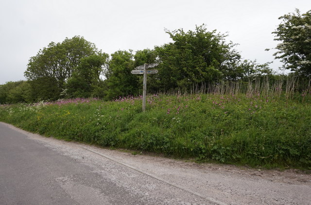
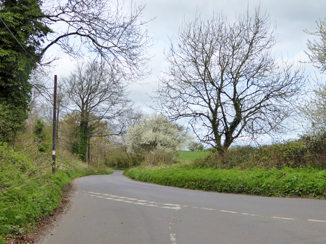
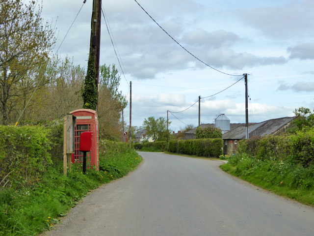
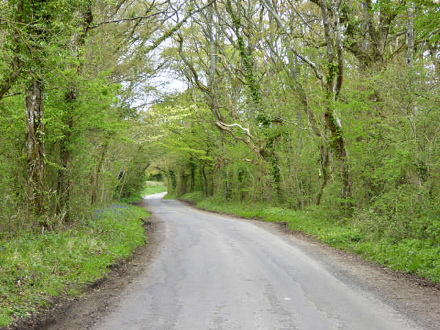
Ibberton is a small village located in the county of Dorset, England. Situated in the Blackmore Vale, it is part of the North Dorset district and lies approximately 6 miles north of the town of Sturminster Newton.

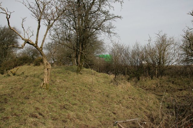
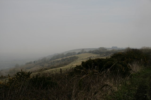
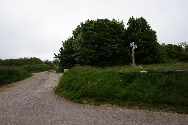
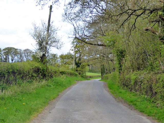
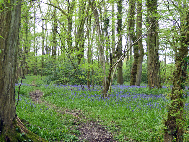
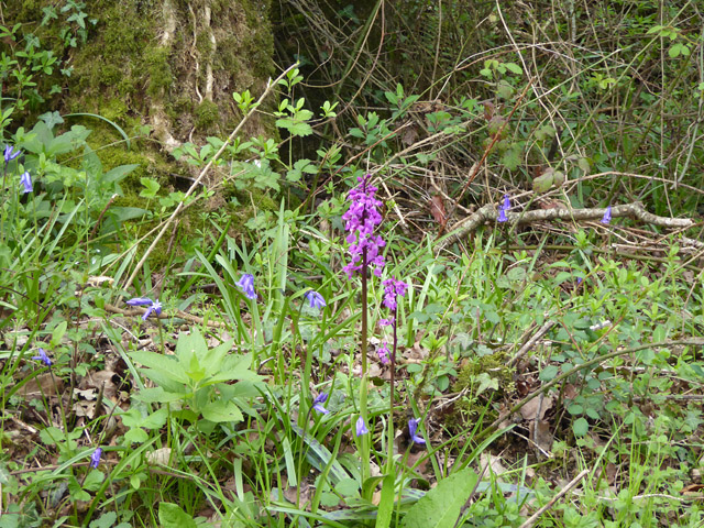
With a population of just over 200 residents, Ibberton is known for its rural charm and picturesque setting. The village is surrounded by rolling hills and beautiful countryside, offering residents and visitors breathtaking views and ample opportunities for outdoor activities such as hiking and cycling.

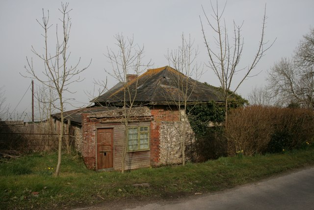
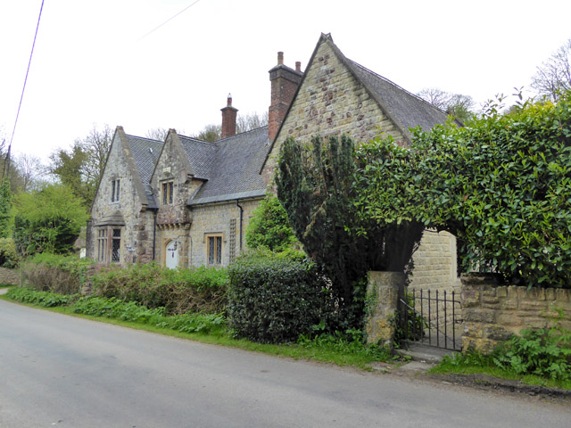
The heart of Ibberton is its small, close-knit community. The village features a village hall, which serves as a social hub for various events and gatherings. Additionally, there is a local pub that adds to the village's sense of community and provides a place for locals to relax and socialize.

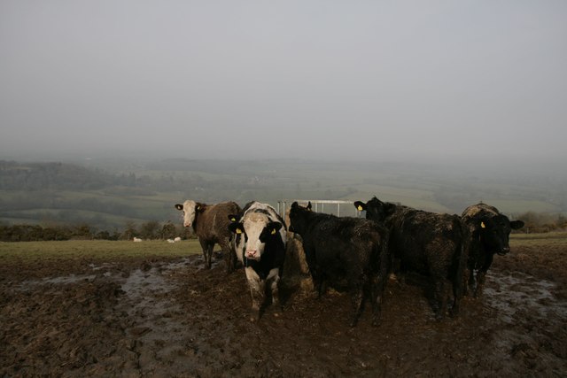
Historically, Ibberton has been an agricultural village, with farming playing a significant role in its economy. Although the farming industry has evolved over the years, it continues to be an important part of the village's identity.

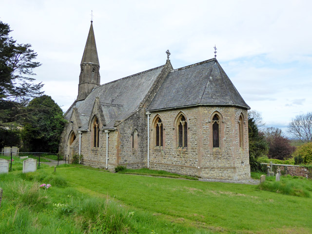
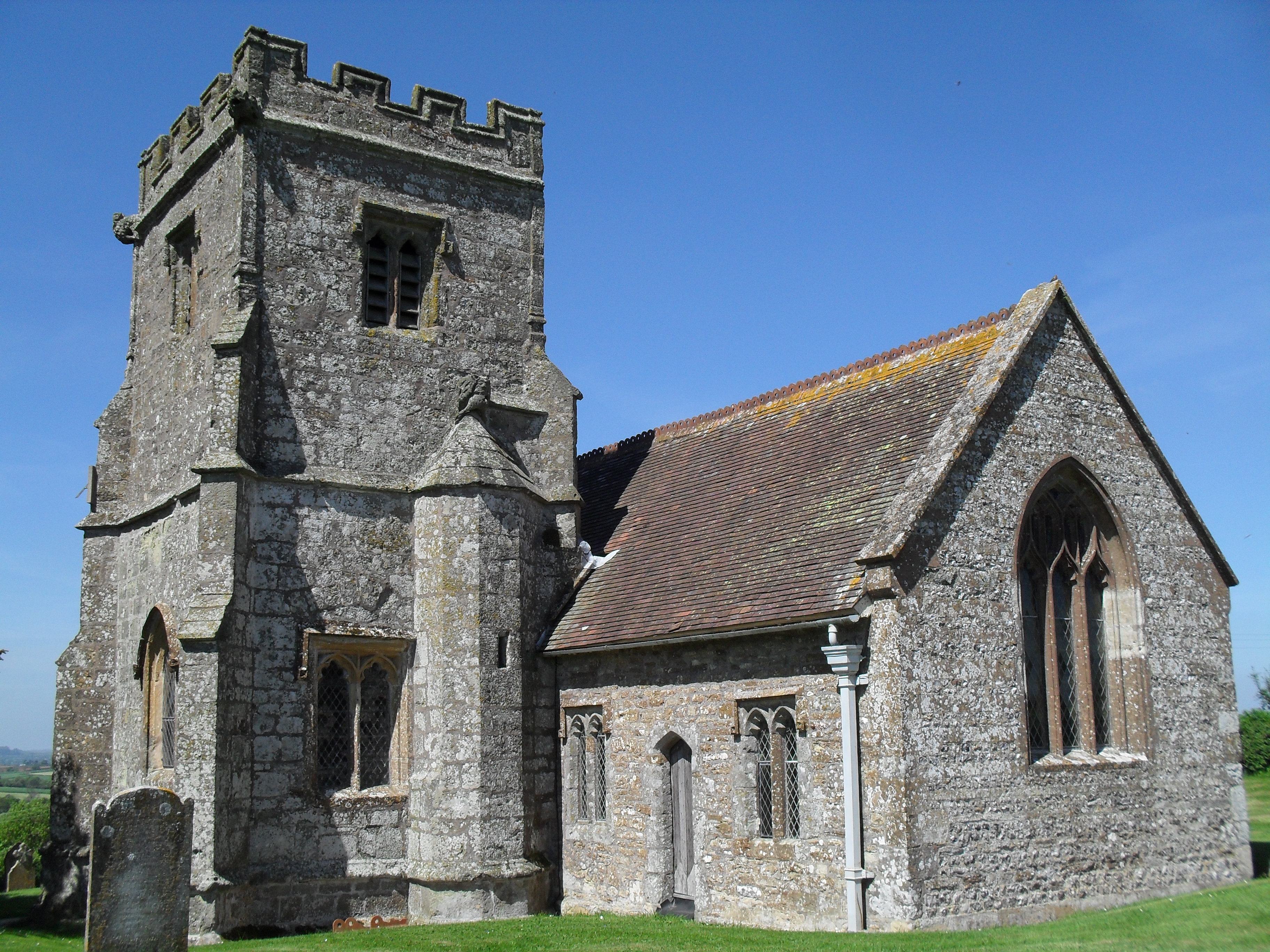
Despite its small size, Ibberton boasts a rich history. The village is home to several notable historic buildings, including a 12th-century church, St. Eustace, which holds regular services and is a cherished landmark for the community.

In summary, Ibberton is a tranquil and close-knit village nestled in the picturesque countryside of Dorset. With its stunning natural surroundings, strong sense of community, and rich history, it offers a peaceful and idyllic retreat for residents and visitors alike.

If you have any feedback on the listing, please let us know in the comments section below.

Ibberton Images

Images are sourced within 2km of 50.869101/-2.3032645 or Grid Reference ST7807. Thanks to Geograph Open Source API. All images are credited.

Pigs, Pigs, Pigs Pigs on the summit field of Bell Hill
Pigs, Pigs, Pigs
Pigs on the summit field of Bell Hill
Wall at Delcombe Head There is an Ordnance Survey benchmark on the wall end. See <span class="nowrap"><a title="http://www.bench-marks.org.uk/bm47073" rel="nofollow ugc noopener" href="http://www.bench-marks.org.uk/bm47073">Link</a><img style="margin-left:2px;" alt="External link" title="External link - shift click to open in new window" src="https://s1.geograph.org.uk/img/external.png" width="10" height="10"/></span> for description and <a href="https://www.geograph.org.uk/photo/4863413">ST7805 : Benchmark on wall, Delcombe Head</a> for closer picture.
Wall at Delcombe Head
There is an Ordnance Survey benchmark on the wall end. See LinkExternal link for description and ST7805 : Benchmark on wall, Delcombe Head for closer picture.
Benchmark on wall, Delcombe Head Ordnance Survey benchmark, described on database at <span class="nowrap"><a title="http://www.bench-marks.org.uk/bm47073" rel="nofollow ugc noopener" href="http://www.bench-marks.org.uk/bm47073">Link</a><img style="margin-left:2px;" alt="External link" title="External link - shift click to open in new window" src="https://s1.geograph.org.uk/img/external.png" width="10" height="10"/></span>. For context photo, see <a href="https://www.geograph.org.uk/photo/4863400">ST7805 : Wall at Delcombe Head</a>.
Benchmark on wall, Delcombe Head
Ordnance Survey benchmark, described on database at LinkExternal link. For context photo, see ST7805 : Wall at Delcombe Head.
Ibberton Ford This ford at Marsh Farm, Ibberton runs along the byway for about 50 metres.
Ibberton Ford
This ford at Marsh Farm, Ibberton runs along the byway for about 50 metres.
Cross Dyke at Ibberton
Baker's Folly, Ibberton
Cows and mud on Chitcombe Down Taken from the Wessex ridgeway, looking north on a very misty morning.
Cows and mud on Chitcombe Down
Taken from the Wessex ridgeway, looking north on a very misty morning.
Misty morning on Chitcombe Down
Cross Tracks on Chitcombe Down
Bridleway at Ibberton Hill
Rural road junction The road ahead, according to the signpost here, goes to Bulbarrow, Stoke Wake and Ansty Cross.
Rural road junction
The road ahead, according to the signpost here, goes to Bulbarrow, Stoke Wake and Ansty Cross.
Woolland church A grade II listed building, about 1857. 'Unknown dedication' - odd for such a late church, surely someone must know.
Woolland church
A grade II listed building, about 1857. 'Unknown dedication' - odd for such a late church, surely someone must know.
Notice board, postbox, telephone box, Woolland Across the road from Skinners Farm.
Notice board, postbox, telephone box, Woolland
Across the road from Skinners Farm.
Lane north from Woolland Heading towards Fifehead St. Quintin.
Lane north from Woolland
Heading towards Fifehead St. Quintin.
Bluebells, Fudge Copse
Laneside Early Purple Orchids Beating the bluebells into good flower, as is normally the case.
Laneside Early Purple Orchids
Beating the bluebells into good flower, as is normally the case.
Lane towards Fifehead St Quintin A stretch with interesting woodland flora.
Lane towards Fifehead St Quintin
A stretch with interesting woodland flora.
The Old School, Woolland A grade II listed building, from about 1850.
The Old School, Woolland
A grade II listed building, from about 1850.
Show me another place!

Ibberton is located at Grid Ref: ST7807 (Lat: 50.869101, Lng: -2.3032645)

Unitary Authority: Dorset

Police Authority: Dorset

What 3 Words

///vipers.bluffs.forge. Near Shillingstone, Dorset

Nearby Locations

Ibberton

Related Wikis

Ibberton

Ibberton is a village and civil parish in the county of Dorset in southern England. It is situated in the Blackmore Vale under the scarp face of the Dorset...

Church of St Eustace, Ibberton

The Parish Church of St Eustace is a Grade II* listed Anglican church in the village of Ibberton, Dorset. It stands to the south of the village, on a steep...

Bell Hill, Dorset

At 258 metres, Bell Hill is one of the highest hills in the county of Dorset, England and a high point on the Wessex Ridgeway. == Location == Bell Hill...

Woolland

Woolland is a village and civil parish in north Dorset, England, situated in the Blackmore Vale under Bulbarrow Hill 7 miles (11 km) west of Blandford...

Belchalwell Street

Belchalwell Street is a village in Dorset, England, at the foot of Bell Hill, generally included in the village of Belchalwell. == External links == Belchalwell

Belchalwell

Belchalwell is a small village and former civil parish, now in the parish of Okeford Fitzpaine in the Blackmore Vale, in the Dorset district, in the ceremonial...

St Aldhelm's Church, Belchalwell

St Aldhelm's Church is a Grade II* listed Anglican church in the village of Belchalwell, Dorset. It is in the ecclesiastical parish of Belchalwell, which...
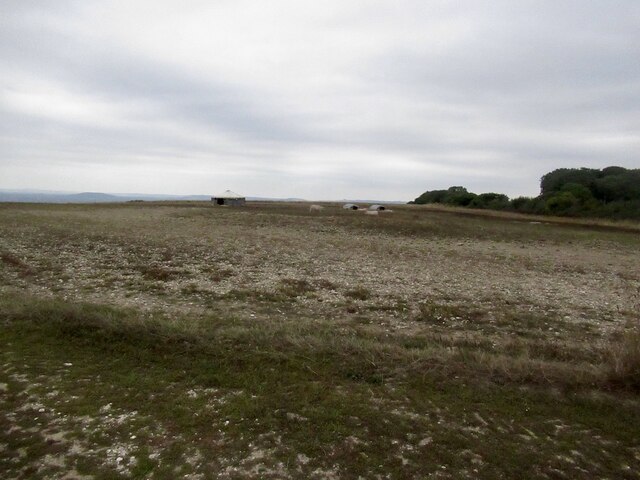
Ringmoor

The Ringmoor settlement is an Iron Age/Romano-British farming settlement in Dorset, England. It is between the villages of Okeford Fitzpaine and Turnworth...

Nearby Amenities

Located within 500m of 50.869101,-2.3032645
Ibberton
Is In: Dorset, England, UK
Place: village
Lat/Long: 50.8706641/-2.3018311
Pub
The Ibberton
Addr Postcode: DT11 0EN
Fhrs Id: 994425
Source Addr Postcode: FHRS Open Data
Lat/Long: 50.8688018/-2.302918
Colour: gray
Design: portal
Line Attachment: suspension
Material: metal
Power: tower
Source: bing
Structure: lattice
Lat/Long: 50.8654318/-2.3066766
Material: wood
Power: pole
Source: bing
Lat/Long: 50.8711506/-2.3022006
Material: wood
Power: pole
Source: bing
Lat/Long: 50.8723544/-2.3031685
Material: wood
Power: pole
Source: bing
Lat/Long: 50.8729515/-2.3038197
Post Box
Collection Times: Mo-Fr 10:00; Sa 10:00
Operator: Royal Mail
Post Box Mounting: pier
Post Box Type: lamp
Ref: DT11 167
Ref GB Uprn: 10015375188
Royal Cypher: EIIR
Royal Cypher Wikidata: Q33102113
Lat/Long: 50.8718333/-2.3034972
Power: pole
Source: bing
Lat/Long: 50.8692584/-2.3093431
Power: pole
Source: bing
Lat/Long: 50.8699575/-2.3083466
Power: pole
Source: bing
Lat/Long: 50.8706862/-2.3072885
Power: pole
Source: bing
Lat/Long: 50.8713962/-2.3062156
Power: pole
Source: bing
Lat/Long: 50.8721063/-2.3051186
Power: pole
Source: bing
Lat/Long: 50.8705685/-2.3018584
Power: pole
Source: bing
Lat/Long: 50.8699338/-2.301511
Power: pole
Source: bing
Lat/Long: 50.8735154/-2.3029514
Barrier: wicket_gate
Foot: designated
Lat/Long: 50.8659457/-2.3073305
Barrier: stile
Lat/Long: 50.8658156/-2.3075398
The data included in this document is from www.openstreetmap.org. The data is made available under ODbL.

Have you been to Ibberton?

Leave your review of Ibberton below (or comments, questions and feedback).