Ianstown
Settlement in Banffshire
Scotland
Ianstown

Ianstown is a small village located in the historic county of Banffshire, in the northeast of Scotland. Situated near the banks of the River Deveron, it lies approximately 10 miles northwest of the town of Banff. With a population of around 500 residents, Ianstown is known for its picturesque setting and peaceful atmosphere.
The village is surrounded by rolling hills and lush green countryside, offering stunning views of the Scottish Highlands. It is a popular destination for outdoor enthusiasts, with ample opportunities for hiking, fishing, and birdwatching in the nearby Glen Deveron.
Ianstown has a rich history dating back centuries, evident in the well-preserved buildings and landmarks that dot the village. The historic St. Ian's Church, dating back to the 12th century, is a prominent feature and a significant cultural and architectural site. The village also boasts a small museum that showcases local artifacts and provides insight into the area's past.
Despite its small size, Ianstown is equipped with essential amenities to cater to its residents and visitors. It has a local convenience store, a post office, a primary school, and a community center that hosts various events throughout the year. For further services and entertainment, residents often travel to nearby towns like Banff or Turriff.
Overall, Ianstown offers a tranquil retreat for those seeking a peaceful village setting amidst the natural beauty of Banffshire. Its rich history, stunning landscapes, and friendly community make it an appealing destination for both locals and tourists.
If you have any feedback on the listing, please let us know in the comments section below.
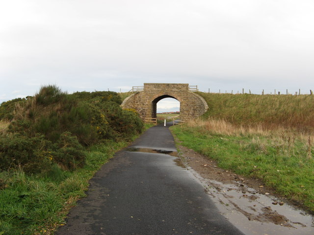
Ianstown Images
Images are sourced within 2km of 57.683632/-2.941552 or Grid Reference NJ4366. Thanks to Geograph Open Source API. All images are credited.


Ianstown is located at Grid Ref: NJ4366 (Lat: 57.683632, Lng: -2.941552)
Unitary Authority: Moray
Police Authority: North East
What 3 Words
///disgraced.herbs.soaks. Near Buckie, Moray
Nearby Locations
Related Wikis

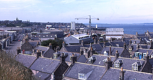
Portessie
Portessie (Scots: Peterhythe or The Sloch) is a small fishing village east of Buckie, on the north-east coast of Scotland. It is commonly nicknamed "the...
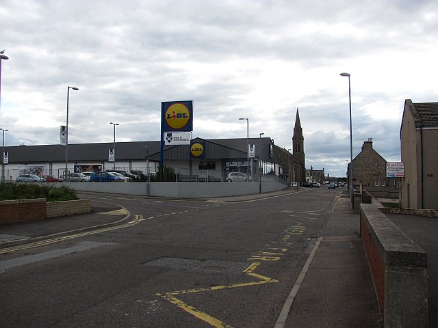
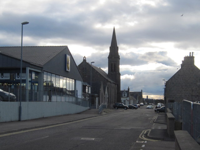
Ianstown
Ianstown (Scottish Gaelic: Baile Iain) is a small village on the Moray Firth in Scotland. It lies within the council area of Moray. Its OS grid reference...
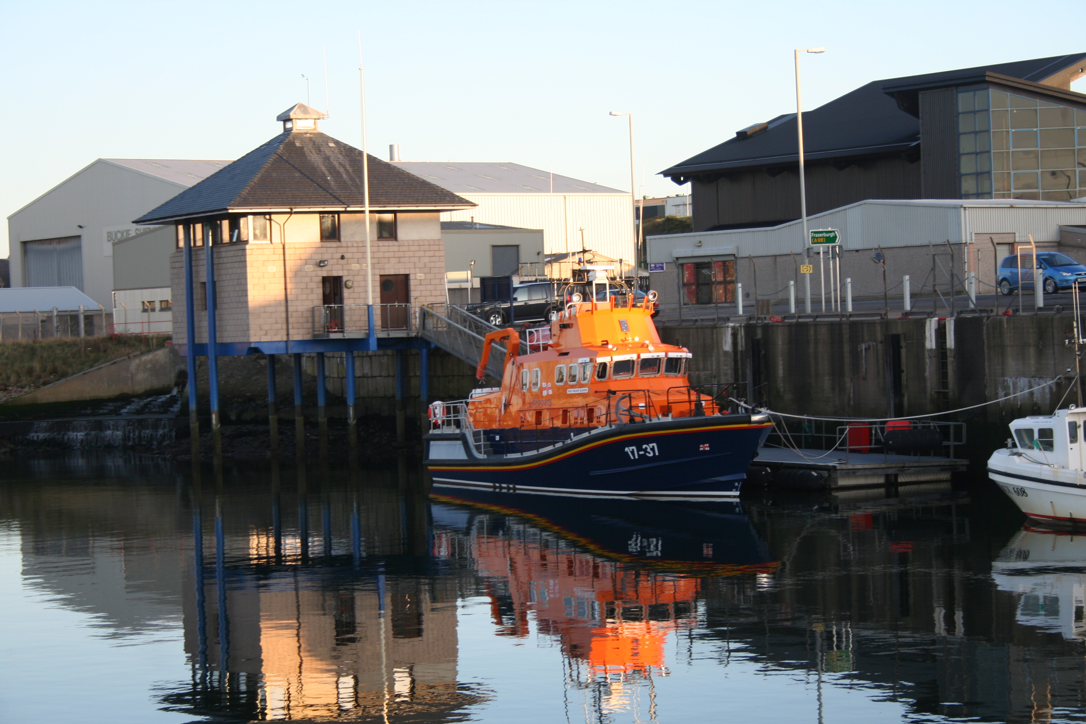
Buckie Lifeboat Station
Buckie Lifeboat Station is located in the town of Buckie, Moray, on the Moray Firth coast of NE Scotland. A lifeboat was first stationed here by the Royal...
Portessie railway station
Portessie railway station was a joint Highland Railway (HR) and Great North of Scotland Railway (GNoSR) station at the junction between the Moray Coast...
Nearby Amenities
Located within 500m of 57.683632,-2.941552Have you been to Ianstown?
Leave your review of Ianstown below (or comments, questions and feedback).