Bents Point
Coastal Feature, Headland, Point in Banffshire
Scotland
Bents Point

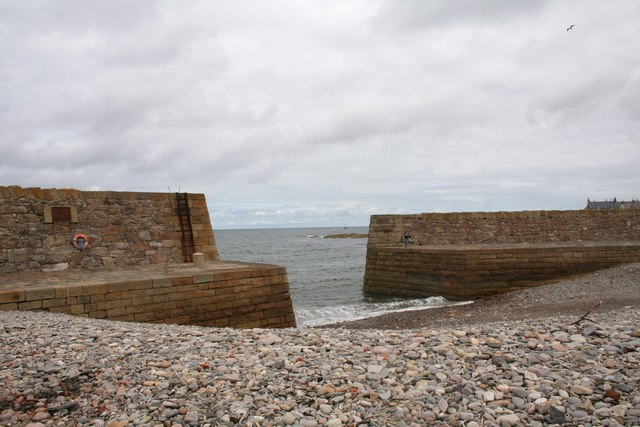
Bents Point is a prominent coastal feature located in Banffshire, a historic county in northeastern Scotland. This picturesque headland juts out into the North Sea, offering stunning views of the surrounding coastline and the open ocean beyond. Stretching for approximately 500 meters, Bents Point is known for its rugged cliffs, which reach heights of around 30 meters.
The headland is formed by layers of sedimentary rock, primarily composed of sandstone and shale, which have been shaped over millions of years by the relentless forces of erosion. This geological process has resulted in the creation of several interesting geological formations, such as sea stacks and caves, which dot the cliffs of Bents Point.
The area surrounding Bents Point is rich in biodiversity, with various seabirds and marine life making their homes here. Visitors to the site may catch glimpses of puffins, guillemots, and fulmars nesting on the cliffs, while seals and dolphins can often be spotted in the waters below.
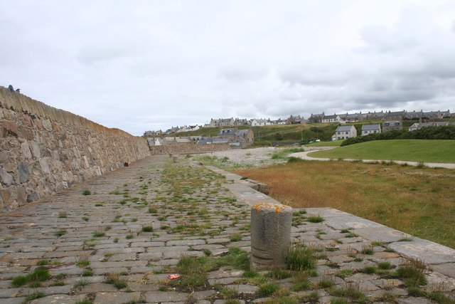
Bents Point is also popular among outdoor enthusiasts, as it offers excellent opportunities for coastal walks and birdwatching. Several well-marked trails traverse the headland, allowing visitors to explore its rugged beauty at their own pace. Additionally, the nearby beach provides a great spot for picnicking or sunbathing on sunny days.
Overall, Bents Point is a remarkable coastal feature in Banffshire, offering a perfect blend of natural beauty, geological interest, and recreational opportunities for both locals and tourists alike.
If you have any feedback on the listing, please let us know in the comments section below.
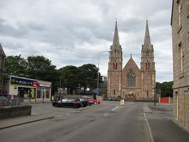
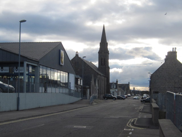
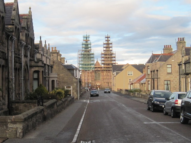
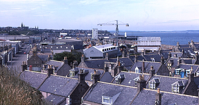
Bents Point Images
Images are sourced within 2km of 57.684267/-2.9504271 or Grid Reference NJ4366. Thanks to Geograph Open Source API. All images are credited.


Bents Point is located at Grid Ref: NJ4366 (Lat: 57.684267, Lng: -2.9504271)
Unitary Authority: Moray
Police Authority: North East
What 3 Words
///coder.exotic.nosedive. Near Buckie, Moray
Nearby Locations
Related Wikis
Ianstown
Ianstown (Scottish Gaelic: Baile Iain) is a small village on the Moray Firth in Scotland. It lies within the council area of Moray. Its OS grid reference...

Portessie
Portessie (Scots: Peterhythe or The Sloch) is a small fishing village east of Buckie, on the north-east coast of Scotland. It is commonly nicknamed "the...
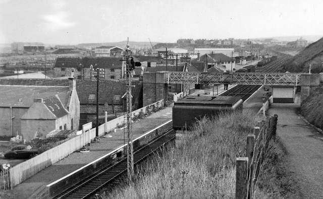
Buckie railway station
Buckie railway station was a railway station in Buckie, in current day Moray. The station was opened by the Great North of Scotland Railway (GNoSR) on...
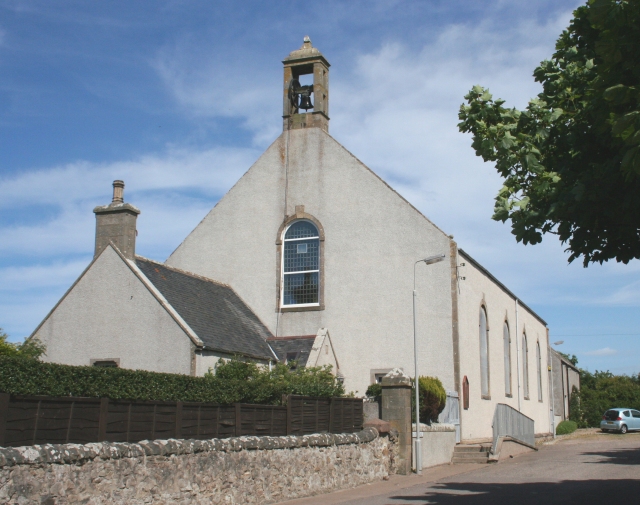
Rathven
Rathven (Scots: Raffin) is an ecclesiastical parish, village and former civil parish in the historic county of Banff, now in Moray, Scotland. The civil...
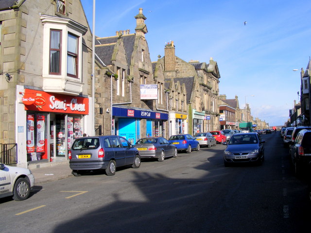
Buckie
Buckie (Scottish Gaelic: Bucaidh) is a burgh town (defined as such in 1888) on the Moray Firth coast of Scotland. Historically in Banffshire, Buckie was...
Portessie railway station
Portessie railway station was a joint Highland Railway (HR) and Great North of Scotland Railway (GNoSR) station at the junction between the Moray Coast...
Victoria Park, Buckie
Victoria Park is a football ground in Buckie in north-east Scotland, which is the home ground of Highland Football League side Buckie Thistle. It is located...
Buckie High School
Buckie High School is a mixed secondary school in Buckie, Moray, Scotland which has a roll of around 900 pupils in years S1 to S6. The school serves the...
Nearby Amenities
Located within 500m of 57.684267,-2.9504271Have you been to Bents Point?
Leave your review of Bents Point below (or comments, questions and feedback).