Pewet Tarn

Lake, Pool, Pond, Freshwater Marsh in Lancashire South Lakeland

England

Pewet Tarn

Ordnance Survey Rivet This OS rivet can be found on the wall east side of Woodlands Road. It marks a point 79.376m above mean sea level.
Ordnance Survey Rivet Credit: Adrian Dust

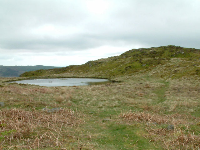
Pewet Tarn is a small freshwater lake located in Lancashire, England. It is situated within the picturesque Forest of Bowland, a designated Area of Outstanding Natural Beauty. The tarn is nestled amidst rolling hills and lush greenery, creating a serene and tranquil environment.

Covering an area of approximately 2 hectares, Pewet Tarn is a popular destination for nature enthusiasts and outdoor lovers. The lake is surrounded by dense vegetation, including reeds, grasses, and shrubs, providing a habitat for a diverse range of wildlife.

The water in Pewet Tarn is crystal clear and reflects the surrounding landscape, adding to its aesthetic appeal. It is fed by natural springs and small streams, ensuring a constant supply of freshwater. The lake is relatively shallow, with a maximum depth of around 4 meters, making it ideal for various aquatic plants and animals.

The tarn is home to several species of fish, including brown trout and perch, making it a popular spot for fishing enthusiasts. It also attracts a variety of birds, such as swans, ducks, and herons, which can often be seen gliding across the water or nesting in the surrounding vegetation.

Visitors to Pewet Tarn can enjoy a peaceful stroll along the lake's edge, taking in the breathtaking scenery and observing the abundant wildlife. The area is also well-equipped with picnic spots and benches, providing the perfect opportunity to relax and enjoy a meal amidst nature's beauty.

Overall, Pewet Tarn offers a splendid retreat for those seeking a glimpse of Lancashire's natural wonders. Its idyllic location, diverse wildlife, and serene atmosphere make it a must-visit destination for both locals and tourists alike.

If you have any feedback on the listing, please let us know in the comments section below.
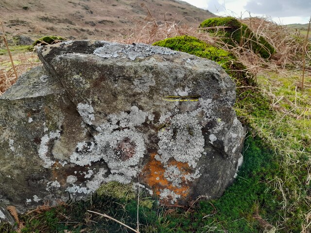
Pewet Tarn Images

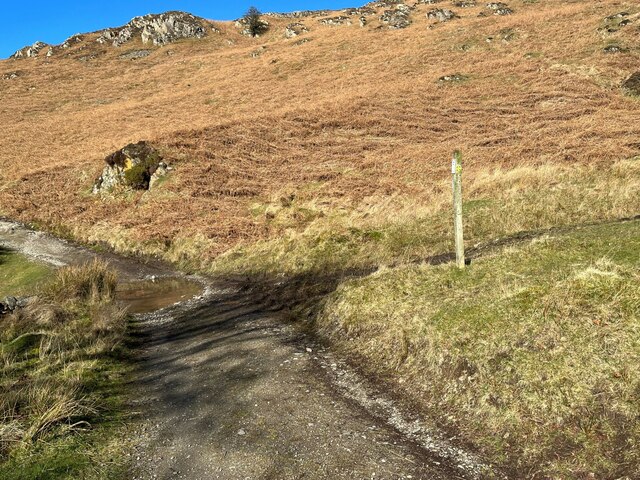
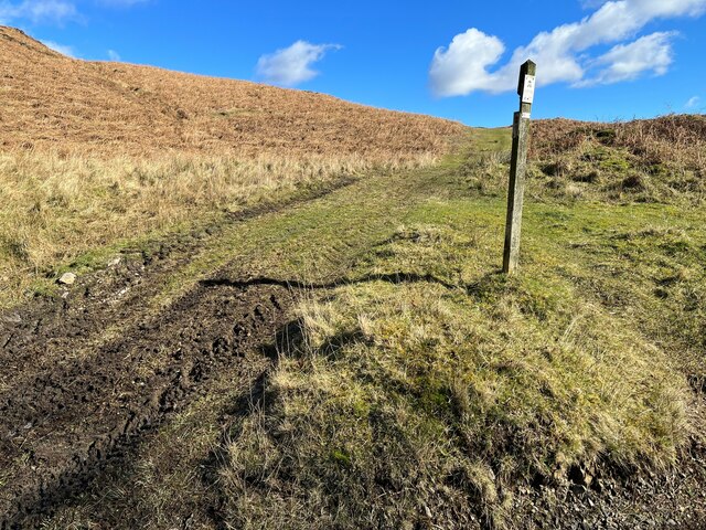
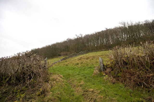
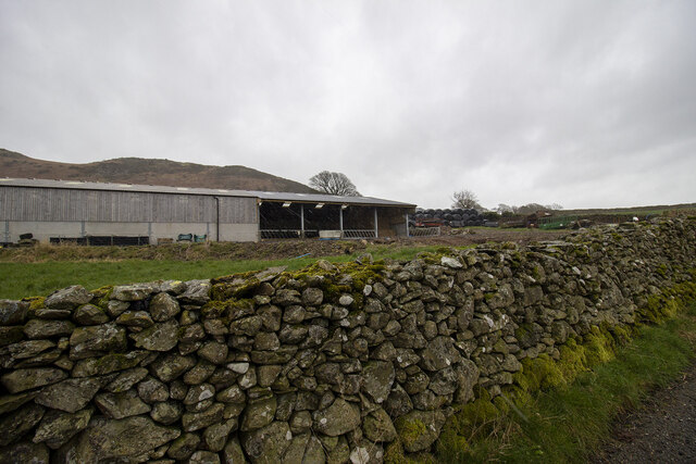
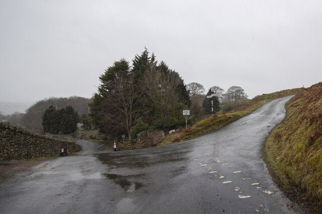
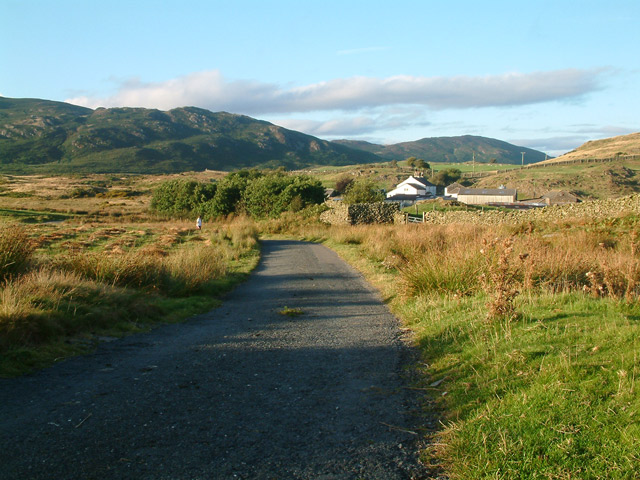
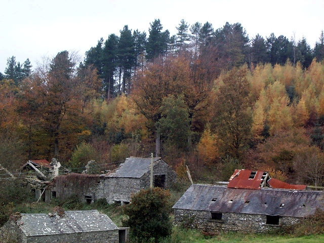
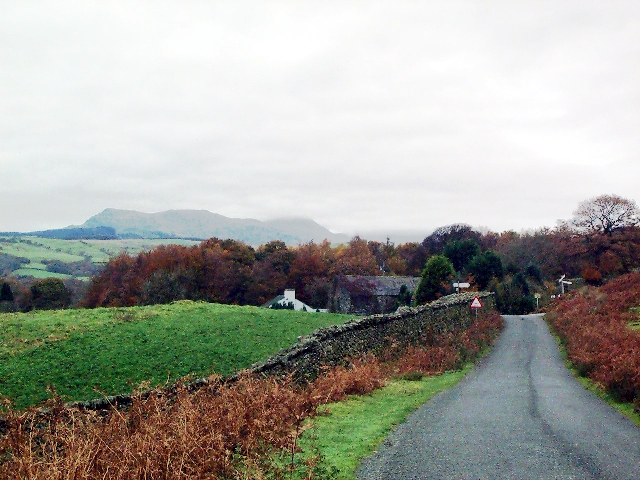
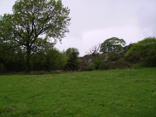
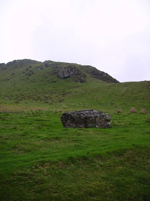
Images are sourced within 2km of 54.275099/-3.1489103 or Grid Reference SD2587. Thanks to Geograph Open Source API. All images are credited.

Ordnance Survey Rivet This OS rivet can be found on the wall east side of Woodlands Road. It marks a point 79.376m above mean sea level.
Ordnance Survey Rivet
This OS rivet can be found on the wall east side of Woodlands Road. It marks a point 79.376m above mean sea level.
Ordnance Survey Rivet This OS rivet can be found on the wall west side of Woodlands Road. It marks a point 93.637m above mean sea level.
Ordnance Survey Rivet
This OS rivet can be found on the wall west side of Woodlands Road. It marks a point 93.637m above mean sea level.
Ordnance Survey Rivet This OS rivet can be found on the wall east side of Woodlands Road. It marks a point 69.758m above mean sea level.
Ordnance Survey Rivet
This OS rivet can be found on the wall east side of Woodlands Road. It marks a point 69.758m above mean sea level.
Ordnance Survey Rivet This OS rivet can be found on a rock south side of the road. It marks a point 124.383m above mean sea level.
Ordnance Survey Rivet
This OS rivet can be found on a rock south side of the road. It marks a point 124.383m above mean sea level.
Ordnance Survey Cut Mark This OS cut mark can be found on a rock south side of the road. It marks a point 126.204m above mean sea level.
Ordnance Survey Cut Mark
This OS cut mark can be found on a rock south side of the road. It marks a point 126.204m above mean sea level.
Ordnance Survey Rivet This OS rivet can be found on a boulder east side of the road. It marks a point 139.317m above mean sea level.
Ordnance Survey Rivet
This OS rivet can be found on a boulder east side of the road. It marks a point 139.317m above mean sea level.
Ordnance Survey Rivet This OS rivet can be found on boulder SW side of the track. It marks a point 133.905m above mean sea level.
Ordnance Survey Rivet
This OS rivet can be found on boulder SW side of the track. It marks a point 133.905m above mean sea level.
Ordnance Survey Rivet This OS rivet can be found on the culvert NE side of the road. It marks a point 124.724m above mean sea level.
Ordnance Survey Rivet
This OS rivet can be found on the culvert NE side of the road. It marks a point 124.724m above mean sea level.
The Cumbria Way, Tottlebank The main track is the public bridleway from Tottlebank to Heathwaite; the track to the right is a public footpath to Cockenskell.
Northbound walkers following The Cumbria Way turn right here to follow the footpath up the hill (next photograph <a href="https://www.geograph.org.uk/photo/7428087">SD2688 : The Cumbria Way, Tottlebank</a>).
The Cumbria Way, Tottlebank
The main track is the public bridleway from Tottlebank to Heathwaite; the track to the right is a public footpath to Cockenskell. Northbound walkers following The Cumbria Way turn right here to follow the footpath up the hill (next photograph SD2688 : The Cumbria Way, Tottlebank).
The Cumbria Way, Tottlebank This Cumbria Way leaves a public bridleway by Tottlebank Farm and follows the public footpath to Cockenskell up the hill (next photograph <a href="https://www.geograph.org.uk/photo/7428052">SD2788 : Public footpath near Tottlebank</a>).
The Cumbria Way, Tottlebank
This Cumbria Way leaves a public bridleway by Tottlebank Farm and follows the public footpath to Cockenskell up the hill (next photograph SD2788 : Public footpath near Tottlebank).
Gateway to field Gateway to field near Black Springs Wood
Gateway to field
Gateway to field near Black Springs Wood
Modern farm buildings
Road Junction
Road Junction
Birch Bank Farm A view of Birch Bank Farm and holiday cottage.
Birch Bank Farm
A view of Birch Bank Farm and holiday cottage.
Tottlebank Height Tarn and the summit of Tottlebank Height
Tottlebank Height
Tarn and the summit of Tottlebank Height
Well Wood Remains of Well Wood Farm, Kirkby Park Wood.
Well Wood
Remains of Well Wood Farm, Kirkby Park Wood.
Low Heathwaite Gate Road junction at western edge of hilly moorland.
Low Heathwaite Gate
Road junction at western edge of hilly moorland.
Near Gawthwaite Land Farmland in the foothill of the lakeland Fells
Near Gawthwaite Land
Farmland in the foothill of the lakeland Fells
Show me another place!

Pewet Tarn is located at Grid Ref: SD2587 (Lat: 54.275099, Lng: -3.1489103)

Administrative County: Cumbria

District: South Lakeland

Police Authority: Cumbria

What 3 Words

///advantage.buggy.fairly. Near Ulverston, Cumbria

Related Wikis

Burney (hill)

Burney is a hill in Cumbria, England, to the north of the A5092 road between Greenodd and Broughton-in-Furness. It is the subject of a chapter of Wainwright...

Blawith Knott

Blawith Knott is a hill in the south of the English Lake District, near Woodland, Cumbria. It is the subject of a chapter of Wainwright's book The Outlying...

St John the Evangelist's Church, Woodland

St John the Evangelist's Church is in the hamlet of Woodland, about 4 kilometres (2 mi) to the northeast of Broughton-in-Furness, Cumbria, England. It...

Woodland, Cumbria

Woodland is a dispersed hamlet within the civil parish of Kirkby Ireleth in the Furness region of Cumbria, England, and is located in the southern part...

Nearby Amenities

Located within 500m of 54.275099,-3.1489103
The Knott
Place: locality
Lat/Long: 54.2712253/-3.1527156
The data included in this document is from www.openstreetmap.org. The data is made available under ODbL.

Have you been to Pewet Tarn?

Leave your review of Pewet Tarn below (or comments, questions and feedback).