Birk Bank Moss

Downs, Moorland in Lancashire South Lakeland

England

Birk Bank Moss

Ordnance Survey Rivet This OS rivet can be found on the wall east side of Woodlands Road. It marks a point 79.376m above mean sea level.
Ordnance Survey Rivet Credit: Adrian Dust

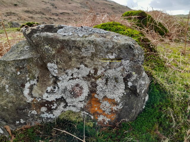
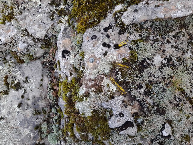
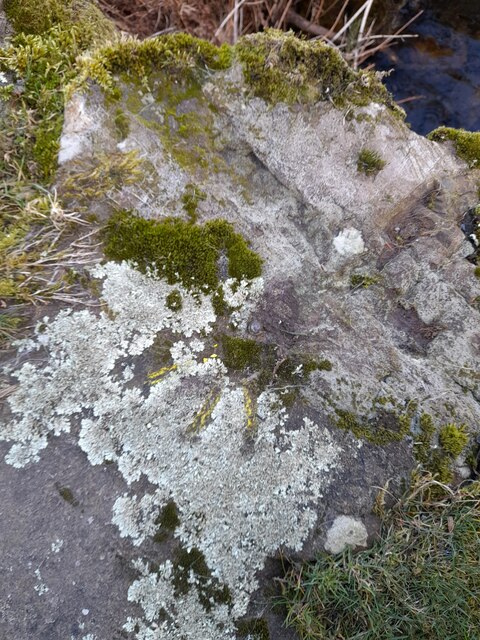
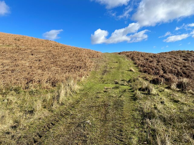
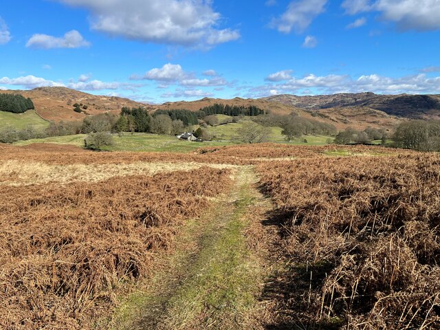
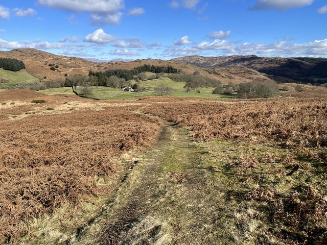
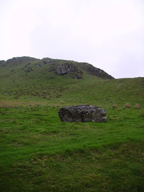
Birk Bank Moss is a sprawling area of moorland located in Lancashire, England. Situated amidst the scenic surroundings of the West Pennine Moors, this beautiful expanse covers several hectares of land. The moss is characterized by its diverse ecosystem, featuring a mix of heather, grasses, and low-lying shrubs.

This enchanting landscape is primarily composed of peat, a type of soil made up of decomposed organic matter. Birk Bank Moss is known for its unique biodiversity, providing a habitat for a wide range of plant and animal species. Some of the flora found here include cotton grass, bilberry, and sphagnum moss, which thrive in the moist conditions created by the peat.

The moss is also home to various bird species, including red grouse, curlew, and lapwing. Visitors can often spot these birds while exploring the area, especially during the nesting season. Additionally, the moorland provides an important breeding ground for several species of butterflies, such as the common blue and small heath.

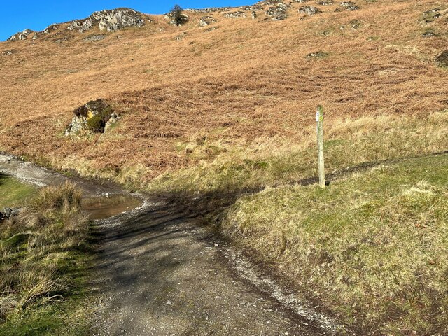
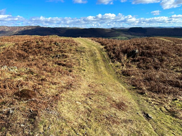
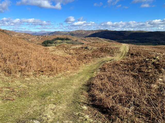
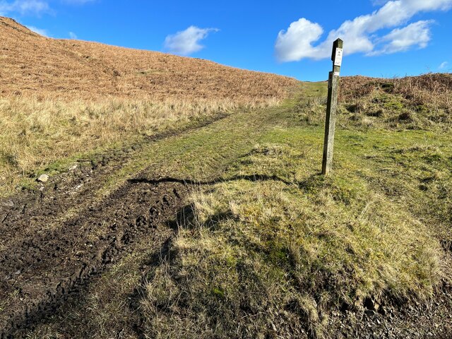
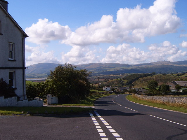
Birk Bank Moss offers a tranquil escape for nature enthusiasts and hikers. Its vast expanse is crisscrossed by footpaths, allowing visitors to wander through the moorland and enjoy the splendid views of the surrounding hills. The area is particularly renowned for its panoramic vistas, with the nearby Rivington Pike and Winter Hill adding to the picturesque landscape.

In summary, Birk Bank Moss is a captivating moorland in Lancashire, boasting a diverse range of plant and animal life. Its peat soil, thriving ecosystem, and stunning views make it a popular destination for nature lovers and outdoor enthusiasts.

If you have any feedback on the listing, please let us know in the comments section below.

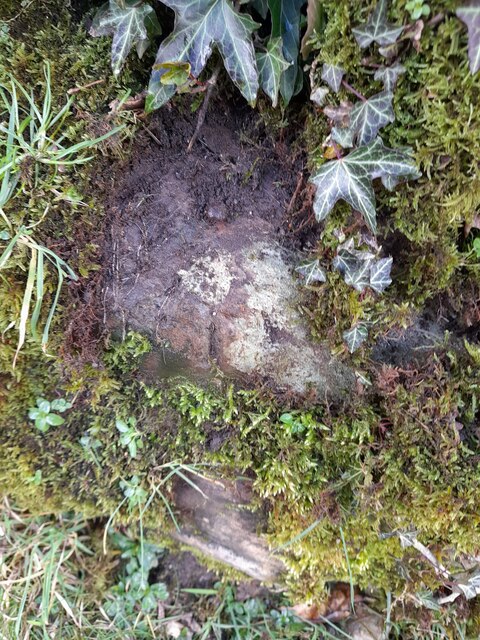
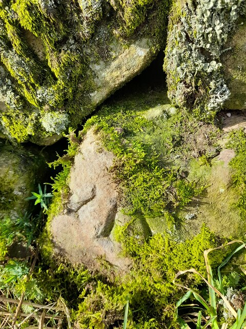
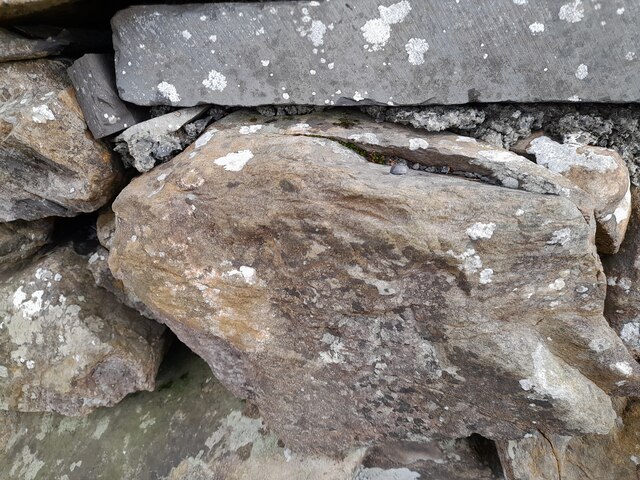
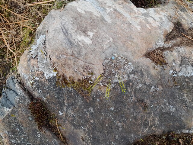
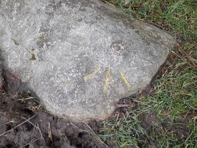
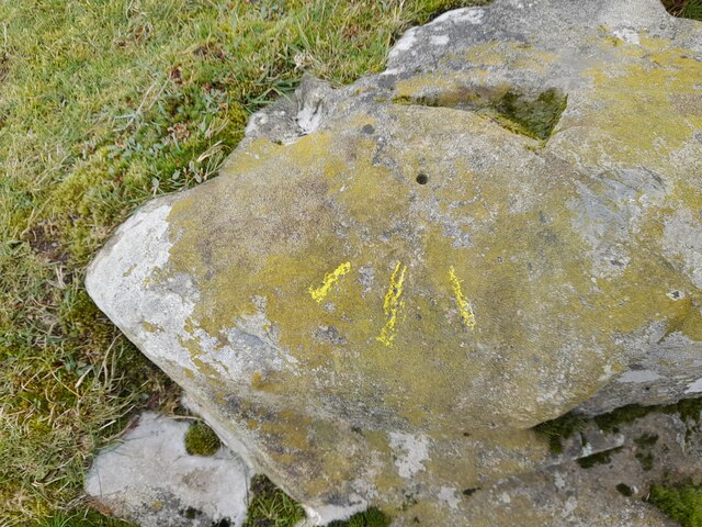
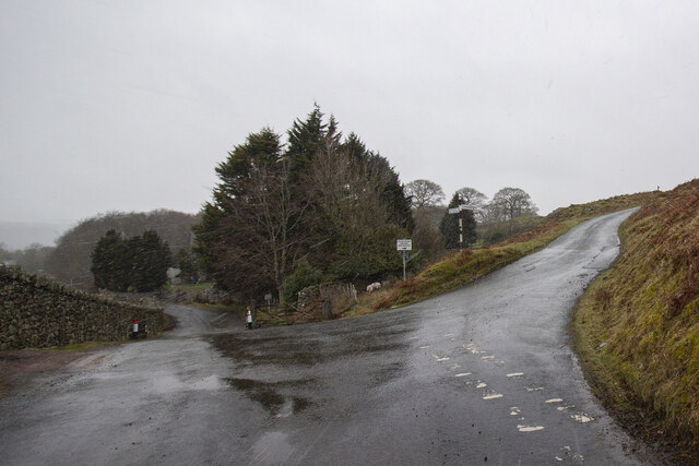
Birk Bank Moss Images

Images are sourced within 2km of 54.277738/-3.1388164 or Grid Reference SD2587. Thanks to Geograph Open Source API. All images are credited.

Ordnance Survey Rivet This OS rivet can be found on the wall east side of Woodlands Road. It marks a point 79.376m above mean sea level.
Ordnance Survey Rivet
This OS rivet can be found on the wall east side of Woodlands Road. It marks a point 79.376m above mean sea level.
Ordnance Survey Rivet This OS rivet can be found on the wall west side of Woodlands Road. It marks a point 93.637m above mean sea level.
Ordnance Survey Rivet
This OS rivet can be found on the wall west side of Woodlands Road. It marks a point 93.637m above mean sea level.
Ordnance Survey Rivet This OS rivet can be found on the wall east side of Woodlands Road. It marks a point 69.758m above mean sea level.
Ordnance Survey Rivet
This OS rivet can be found on the wall east side of Woodlands Road. It marks a point 69.758m above mean sea level.
Ordnance Survey Rivet This OS rivet can be found on a rock south side of the road. It marks a point 124.383m above mean sea level.
Ordnance Survey Rivet
This OS rivet can be found on a rock south side of the road. It marks a point 124.383m above mean sea level.
Ordnance Survey Cut Mark This OS cut mark can be found on a rock south side of the road. It marks a point 126.204m above mean sea level.
Ordnance Survey Cut Mark
This OS cut mark can be found on a rock south side of the road. It marks a point 126.204m above mean sea level.
Ordnance Survey Rivet This OS rivet can be found on a boulder east side of the road. It marks a point 139.317m above mean sea level.
Ordnance Survey Rivet
This OS rivet can be found on a boulder east side of the road. It marks a point 139.317m above mean sea level.
Ordnance Survey Rivet This OS rivet can be found on boulder SW side of the track. It marks a point 133.905m above mean sea level.
Ordnance Survey Rivet
This OS rivet can be found on boulder SW side of the track. It marks a point 133.905m above mean sea level.
Ordnance Survey Rivet This OS rivet can be found on the culvert NE side of the road. It marks a point 124.724m above mean sea level.
Ordnance Survey Rivet
This OS rivet can be found on the culvert NE side of the road. It marks a point 124.724m above mean sea level.
Ordnance Survey Rivet This damaged OS rivet can be found on the rock NE side of the road. It marks a point 124.942m above mean sea level.
Ordnance Survey Rivet
This damaged OS rivet can be found on the rock NE side of the road. It marks a point 124.942m above mean sea level.
The Cumbria Way, Tottlebank The main track is the public bridleway from Tottlebank to Heathwaite; the track to the right is a public footpath to Cockenskell.
Northbound walkers following The Cumbria Way turn right here to follow the footpath up the hill (next photograph <a href="https://www.geograph.org.uk/photo/7428087">SD2688 : The Cumbria Way, Tottlebank</a>).
The Cumbria Way, Tottlebank
The main track is the public bridleway from Tottlebank to Heathwaite; the track to the right is a public footpath to Cockenskell. Northbound walkers following The Cumbria Way turn right here to follow the footpath up the hill (next photograph SD2688 : The Cumbria Way, Tottlebank).
Path on Tottlebank Height This path is the route of The Cumbria Way over the open fell between Tottlebank Farm and Cockenskell (next photograph <a href="https://www.geograph.org.uk/photo/7432096">SD2788 : The Cumbria Way near The Low</a>).
Path on Tottlebank Height
This path is the route of The Cumbria Way over the open fell between Tottlebank Farm and Cockenskell (next photograph SD2788 : The Cumbria Way near The Low).
Path on Tottlebank Height This undulating path is the route of The Cumbria Way over the open fell between Tottlebank Farm and Cockenskell (next photograph <a href="https://www.geograph.org.uk/photo/7427169">SD2788 : Path on Tottlebank Height</a>).
Path on Tottlebank Height
This undulating path is the route of The Cumbria Way over the open fell between Tottlebank Farm and Cockenskell (next photograph SD2788 : Path on Tottlebank Height).
Public footpath near Tottlebank This footpath is the route of The Cumbria Way over the open fell between Tottlebank Farm and Cockenskell (next photograph <a href="https://www.geograph.org.uk/photo/7432849">SD2788 : Public footpath near Tottlebank</a>).
Public footpath near Tottlebank
This footpath is the route of The Cumbria Way over the open fell between Tottlebank Farm and Cockenskell (next photograph SD2788 : Public footpath near Tottlebank).
The Cumbria Way, Tottlebank This Cumbria Way leaves a public bridleway by Tottlebank Farm and follows the public footpath to Cockenskell up the hill (next photograph <a href="https://www.geograph.org.uk/photo/7428052">SD2788 : Public footpath near Tottlebank</a>).
The Cumbria Way, Tottlebank
This Cumbria Way leaves a public bridleway by Tottlebank Farm and follows the public footpath to Cockenskell up the hill (next photograph SD2788 : Public footpath near Tottlebank).
Path near Appletree Holme This path through bracken near Appletree Holme is the route of The Cumbria Way long distance path (next photograph <a href="https://www.geograph.org.uk/photo/7429793">SD2788 : Path near Appletree Holme</a>).
Cockenskell Farm House is in the distance.
Path near Appletree Holme
This path through bracken near Appletree Holme is the route of The Cumbria Way long distance path (next photograph SD2788 : Path near Appletree Holme). Cockenskell Farm House is in the distance.
Modern farm buildings
Road Junction
Road Junction
Footpath above Appletree Holme This path over open fell is a public footpath from Tottlebank Farm to Cockenskell.  It is also the route of The Cumbria Way (next photograph <a href="https://www.geograph.org.uk/photo/7429897">SD2788 : Footpath near Appletree Holme</a>).
Beacon Fell rises in the left background.
Footpath above Appletree Holme
This path over open fell is a public footpath from Tottlebank Farm to Cockenskell. It is also the route of The Cumbria Way (next photograph SD2788 : Footpath near Appletree Holme). Beacon Fell rises in the left background.
Show me another place!

Birk Bank Moss is located at Grid Ref: SD2587 (Lat: 54.277738, Lng: -3.1388164)

Administrative County: Cumbria

District: South Lakeland

Police Authority: Cumbria

What 3 Words

///moisture.homelands.bedrock. Near Ulverston, Cumbria

Related Wikis

Blawith Knott

Blawith Knott is a hill in the south of the English Lake District, near Woodland, Cumbria. It is the subject of a chapter of Wainwright's book The Outlying...

Burney (hill)

Burney is a hill in Cumbria, England, to the north of the A5092 road between Greenodd and Broughton-in-Furness. It is the subject of a chapter of Wainwright...

St John the Evangelist's Church, Woodland

St John the Evangelist's Church is in the hamlet of Woodland, about 4 kilometres (2 mi) to the northeast of Broughton-in-Furness, Cumbria, England. It...

Woodland, Cumbria

Woodland is a dispersed hamlet within the civil parish of Kirkby Ireleth in the Furness region of Cumbria, England, and is located in the southern part...

Woodland Fell

Woodland Fell is an upland area in the south of the English Lake District, south of Torver, Cumbria. It is the subject of a chapter of Wainwright's book...

Gawthwaite

Gawthwaite is a village in Cumbria, England. It is located along the A5092 road, 4.8 miles (7.7 km) north of Ulverston. It is on the Grize Beck stream...

Blawith and Subberthwaite

Blawith and Subberthwaite is a civil parish in the South Lakeland district of Cumbria, England. It is situated in the Lake District National Park, and...

Beanthwaite

Beanthwaite is a hamlet in Cumbria, England.

Nearby Amenities

Located within 500m of 54.277738,-3.1388164
Birch Bank
Tourism: caravan_site
Lat/Long: 54.2778324/-3.1365645
Barrier: stile
Lat/Long: 54.2796395/-3.1327452
Barrier: stile
Foot: yes
Lat/Long: 54.2757361/-3.1332341
Barrier: cattle_grid
Lat/Long: 54.2779672/-3.1363823
Birch Bank Campsite
Tourism: camp_site
Lat/Long: 54.2773366/-3.136956
Long Rigg
Place: locality
Lat/Long: 54.2797377/-3.140488
Subberthwaite Common
Place: locality
Lat/Long: 54.2739237/-3.1363196
Power: pole
Lat/Long: 54.2781529/-3.1357096
Power: pole
Lat/Long: 54.2783222/-3.1352319
Power: pole
Lat/Long: 54.2788981/-3.134034
Power: pole
Lat/Long: 54.2793089/-3.1331545
The data included in this document is from www.openstreetmap.org. The data is made available under ODbL.

Have you been to Birk Bank Moss?

Leave your review of Birk Bank Moss below (or comments, questions and feedback).