Heathwaite Fell

Downs, Moorland in Lancashire South Lakeland

England

Heathwaite Fell

Moorhouse Farm After a generally dull day, a burst of afternoon sunshine picks out the fells beyond Moorhouse Farm.
Moorhouse Farm Credit: Stephen McKay

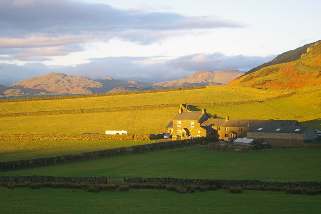
Heathwaite Fell, located in Lancashire, England, is a stunning area characterized by its diverse landscapes of downs and moorland. Covering an expansive area, it offers visitors a unique experience of nature's beauty and tranquility.

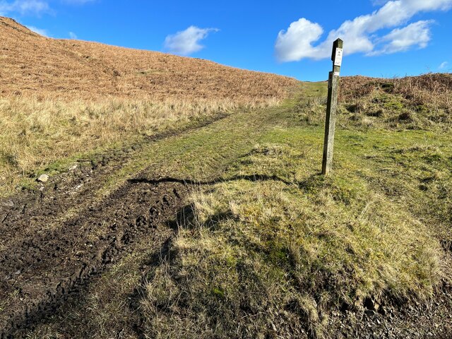
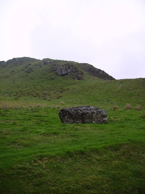
The downs of Heathwaite Fell are characterized by rolling hills and open grasslands. The landscape is dotted with vibrant wildflowers during the summer months, creating a picturesque scene. Visitors can enjoy leisurely walks or hikes, taking in the breathtaking views of the surrounding countryside. The downs also provide a habitat for a variety of wildlife, including rabbits, hares, and a plethora of bird species. Birdwatchers will particularly enjoy the opportunity to spot indigenous and migratory species.

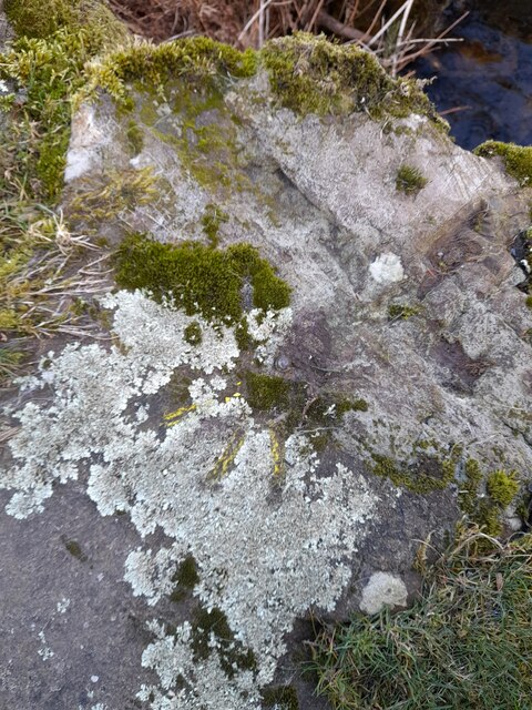
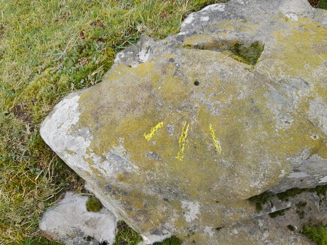
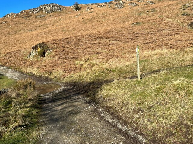
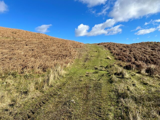
Moving towards the moorland, the landscape changes dramatically. Here, visitors will find vast expanses of heather-covered hills, interspersed with rocky outcrops. The moorland offers a stark and rugged beauty, with its purple hues during the flowering season creating a mesmerizing sight. The area is home to a range of wildlife, including grouse, curlews, and various species of small mammals. Keen hikers can explore the moorland by following the numerous trails and footpaths, which offer a chance to discover hidden waterfalls and ancient ruins.

Heathwaite Fell, with its diverse ecosystems and breathtaking views, is a haven for nature enthusiasts and those seeking solace in the great outdoors. Whether exploring the downs or venturing across the moorland, visitors are sure to be captivated by the natural wonders that abound in this enchanting part of Lancashire.

If you have any feedback on the listing, please let us know in the comments section below.

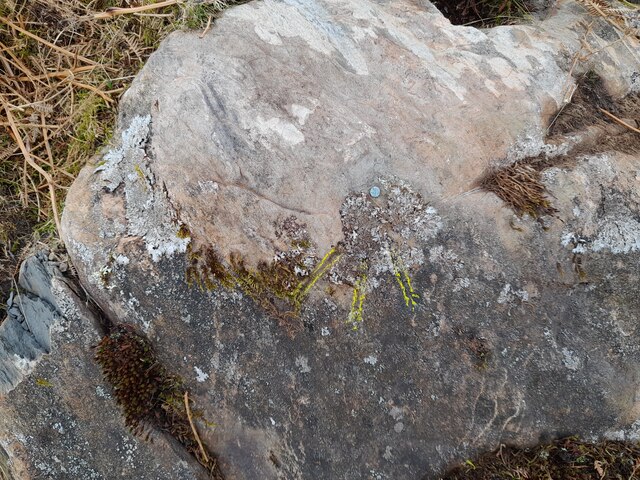
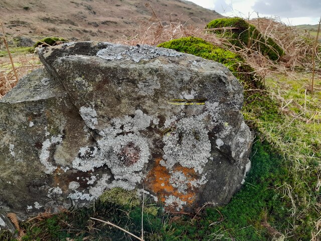
Heathwaite Fell Images

Images are sourced within 2km of 54.274115/-3.1455811 or Grid Reference SD2587. Thanks to Geograph Open Source API. All images are credited.

Moorhouse Farm After a generally dull day, a burst of afternoon sunshine picks out the fells beyond Moorhouse Farm.
Moorhouse Farm
After a generally dull day, a burst of afternoon sunshine picks out the fells beyond Moorhouse Farm.
Ordnance Survey Rivet This OS rivet can be found on the wall east side of Woodlands Road. It marks a point 79.376m above mean sea level.
Ordnance Survey Rivet
This OS rivet can be found on the wall east side of Woodlands Road. It marks a point 79.376m above mean sea level.
Ordnance Survey Rivet This OS rivet can be found on the wall west side of Woodlands Road. It marks a point 93.637m above mean sea level.
Ordnance Survey Rivet
This OS rivet can be found on the wall west side of Woodlands Road. It marks a point 93.637m above mean sea level.
Ordnance Survey Rivet This OS rivet can be found on the wall east side of Woodlands Road. It marks a point 69.758m above mean sea level.
Ordnance Survey Rivet
This OS rivet can be found on the wall east side of Woodlands Road. It marks a point 69.758m above mean sea level.
Ordnance Survey Rivet This OS rivet can be found on a rock south side of the road. It marks a point 124.383m above mean sea level.
Ordnance Survey Rivet
This OS rivet can be found on a rock south side of the road. It marks a point 124.383m above mean sea level.
Ordnance Survey Cut Mark This OS cut mark can be found on a rock south side of the road. It marks a point 126.204m above mean sea level.
Ordnance Survey Cut Mark
This OS cut mark can be found on a rock south side of the road. It marks a point 126.204m above mean sea level.
Ordnance Survey Rivet This OS rivet can be found on a boulder east side of the road. It marks a point 139.317m above mean sea level.
Ordnance Survey Rivet
This OS rivet can be found on a boulder east side of the road. It marks a point 139.317m above mean sea level.
Ordnance Survey Rivet This OS rivet can be found on boulder SW side of the track. It marks a point 133.905m above mean sea level.
Ordnance Survey Rivet
This OS rivet can be found on boulder SW side of the track. It marks a point 133.905m above mean sea level.
Ordnance Survey Rivet This OS rivet can be found on the culvert NE side of the road. It marks a point 124.724m above mean sea level.
Ordnance Survey Rivet
This OS rivet can be found on the culvert NE side of the road. It marks a point 124.724m above mean sea level.
Ordnance Survey Rivet This damaged OS rivet can be found on the rock NE side of the road. It marks a point 124.942m above mean sea level.
Ordnance Survey Rivet
This damaged OS rivet can be found on the rock NE side of the road. It marks a point 124.942m above mean sea level.
The Cumbria Way, Tottlebank The main track is the public bridleway from Tottlebank to Heathwaite; the track to the right is a public footpath to Cockenskell.
Northbound walkers following The Cumbria Way turn right here to follow the footpath up the hill (next photograph <a href="https://www.geograph.org.uk/photo/7428087">SD2688 : The Cumbria Way, Tottlebank</a>).
The Cumbria Way, Tottlebank
The main track is the public bridleway from Tottlebank to Heathwaite; the track to the right is a public footpath to Cockenskell. Northbound walkers following The Cumbria Way turn right here to follow the footpath up the hill (next photograph SD2688 : The Cumbria Way, Tottlebank).
Public footpath near Tottlebank This footpath is the route of The Cumbria Way over the open fell between Tottlebank Farm and Cockenskell (next photograph <a href="https://www.geograph.org.uk/photo/7432849">SD2788 : Public footpath near Tottlebank</a>).
Public footpath near Tottlebank
This footpath is the route of The Cumbria Way over the open fell between Tottlebank Farm and Cockenskell (next photograph SD2788 : Public footpath near Tottlebank).
The Cumbria Way, Tottlebank This Cumbria Way leaves a public bridleway by Tottlebank Farm and follows the public footpath to Cockenskell up the hill (next photograph <a href="https://www.geograph.org.uk/photo/7428052">SD2788 : Public footpath near Tottlebank</a>).
The Cumbria Way, Tottlebank
This Cumbria Way leaves a public bridleway by Tottlebank Farm and follows the public footpath to Cockenskell up the hill (next photograph SD2788 : Public footpath near Tottlebank).
Modern farm buildings
Road Junction
Road Junction
The Cumbria Way near Tottlebank This track is the public footpath from Tottlebank to Cockenskell and it is the route of The Cumbria Way (next photograph <a href="https://www.geograph.org.uk/photo/7432829">SD2788 : Track near Tottlebank</a>).
The Cumbria Way near Tottlebank
This track is the public footpath from Tottlebank to Cockenskell and it is the route of The Cumbria Way (next photograph SD2788 : Track near Tottlebank).
Public footpath near Tottlebank This track is the public footpath from Tottlebank to Cockenskell and it is the route of The Cumbria Way (next photograph <a href="https://www.geograph.org.uk/photo/7432838">SD2788 : The Cumbria Way near Tottlebank</a>).
Public footpath near Tottlebank
This track is the public footpath from Tottlebank to Cockenskell and it is the route of The Cumbria Way (next photograph SD2788 : The Cumbria Way near Tottlebank).
Birch Bank Farm A view of Birch Bank Farm and holiday cottage.
Birch Bank Farm
A view of Birch Bank Farm and holiday cottage.
Show me another place!

Heathwaite Fell is located at Grid Ref: SD2587 (Lat: 54.274115, Lng: -3.1455811)

Administrative County: Cumbria

District: South Lakeland

Police Authority: Cumbria

What 3 Words

///sparkle.sedative.playoffs. Near Ulverston, Cumbria

Related Wikis

Burney (hill)

Burney is a hill in Cumbria, England, to the north of the A5092 road between Greenodd and Broughton-in-Furness. It is the subject of a chapter of Wainwright...

Blawith Knott

Blawith Knott is a hill in the south of the English Lake District, near Woodland, Cumbria. It is the subject of a chapter of Wainwright's book The Outlying...

St John the Evangelist's Church, Woodland

St John the Evangelist's Church is in the hamlet of Woodland, about 4 kilometres (2 mi) to the northeast of Broughton-in-Furness, Cumbria, England. It...

Woodland, Cumbria

Woodland is a dispersed hamlet within the civil parish of Kirkby Ireleth in the Furness region of Cumbria, England, and is located in the southern part...

Beanthwaite

Beanthwaite is a hamlet in Cumbria, England.

Gawthwaite

Gawthwaite is a village in Cumbria, England. It is located along the A5092 road, 4.8 miles (7.7 km) north of Ulverston. It is on the Grize Beck stream...

Woodland Fell

Woodland Fell is an upland area in the south of the English Lake District, south of Torver, Cumbria. It is the subject of a chapter of Wainwright's book...

Kirkby Slate Quarries

Kirkby Slate Quarries, formally known as Burlington Slate Quarries, are located near Kirkby-in-Furness in Cumbria, England. The quarries have produced...

Nearby Amenities

Located within 500m of 54.274115,-3.1455811
The data included in this document is from www.openstreetmap.org. The data is made available under ODbL.

Have you been to Heathwaite Fell?

Leave your review of Heathwaite Fell below (or comments, questions and feedback).