Frankby Mere

Lake, Pool, Pond, Freshwater Marsh in Cheshire

England

Frankby Mere

Track to RAF West Kirby A track through the woodland south of Saughall Massey Road at Larton. This was the site of a Second World War RAF training camp, now overgrown, the concrete road can still be seen beneath the leaf litter.
Track to RAF West Kirby Credit: Sue Adair

Frankby Mere, located in Cheshire, England, is a picturesque body of water known for its natural beauty and tranquil surroundings. Often referred to as a mere, pool, pond, or freshwater marsh, it is a diverse ecosystem that provides a habitat for various plant and animal species.

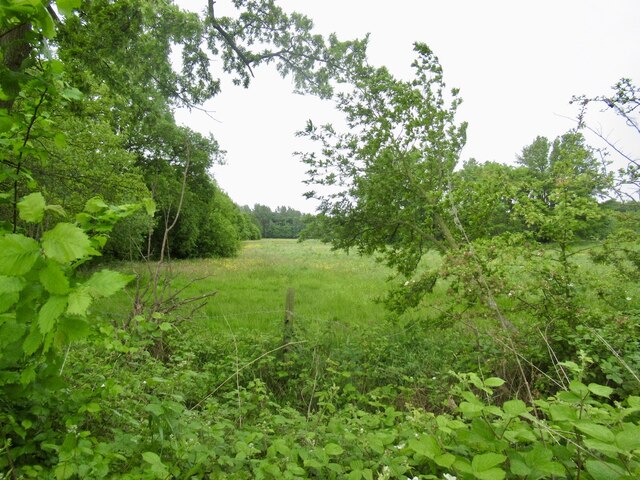
Spanning approximately 6 hectares, Frankby Mere is surrounded by lush greenery and tall reeds, creating a serene and peaceful atmosphere. The water is clear and calm, reflecting the beauty of its surroundings. The mere is fed by freshwater springs, ensuring a constant flow of clean water throughout the year.

The diverse vegetation surrounding the mere includes water lilies, water crowfoot, and various types of aquatic grasses. These provide shelter and food for a wide range of bird species, including herons, swans, and ducks, which can often be seen gracefully gliding across the water.

In addition to its avian residents, Frankby Mere is also home to a variety of fish species, including perch, pike, and roach. Anglers are often drawn to its shores to enjoy a peaceful day of fishing.

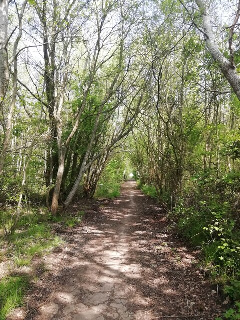
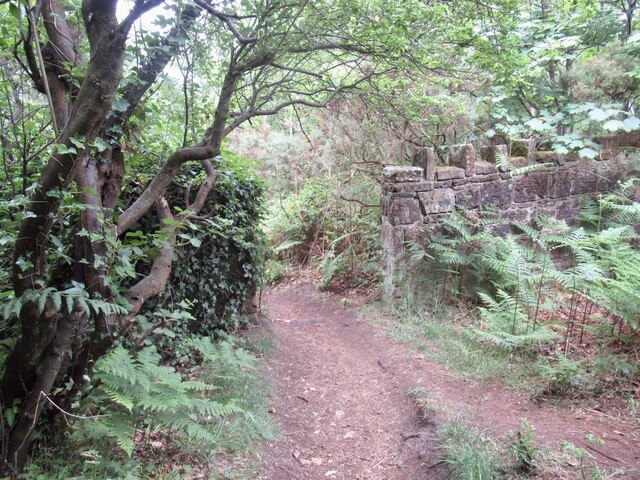
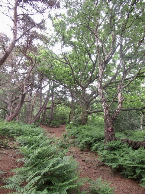
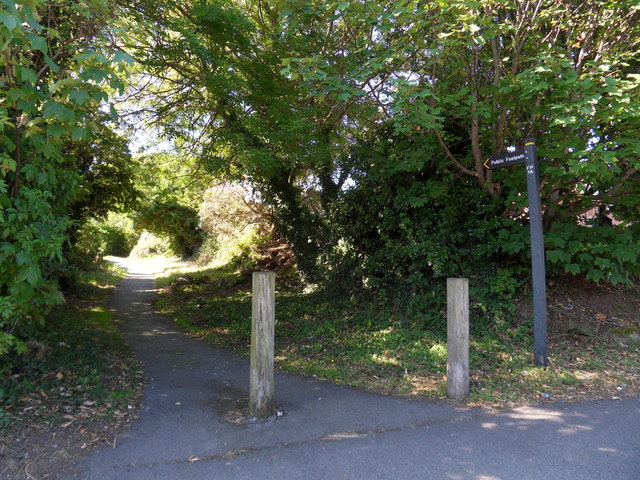
Frankby Mere is a popular destination for nature enthusiasts and bird watchers, who can explore the area via well-maintained footpaths and observation points. The mere is also an important site for environmental research and conservation efforts, with local organizations working to protect its unique ecosystem.

Overall, Frankby Mere offers a tranquil escape from the hustle and bustle of daily life, providing visitors with the opportunity to connect with nature and appreciate the beauty of this freshwater marsh.

If you have any feedback on the listing, please let us know in the comments section below.
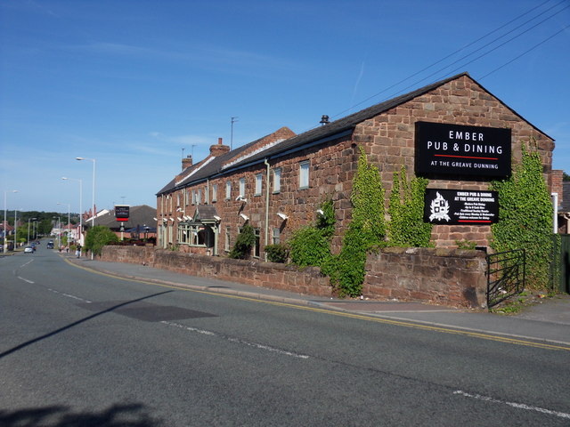
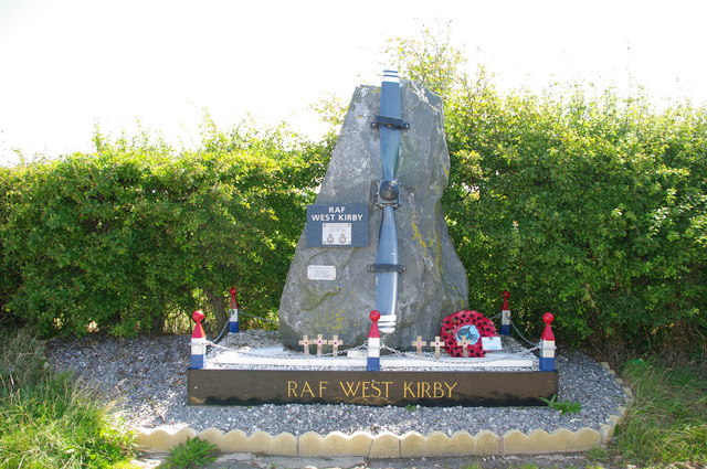
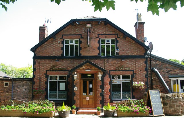
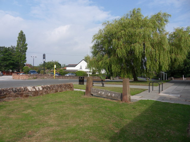
Frankby Mere Images

Images are sourced within 2km of 53.364559/-3.139455 or Grid Reference SJ2485. Thanks to Geograph Open Source API. All images are credited.

Track to RAF West Kirby A track through the woodland south of Saughall Massey Road at Larton. This was the site of a Second World War RAF training camp, now overgrown, the concrete road can still be seen beneath the leaf litter.
Track to RAF West Kirby
A track through the woodland south of Saughall Massey Road at Larton. This was the site of a Second World War RAF training camp, now overgrown, the concrete road can still be seen beneath the leaf litter.
Field, Irbyside
Field, Irbyside
Wall, Caldy Hill Woodland which avoided becoming a garden to a big house.
Wall, Caldy Hill
Woodland which avoided becoming a garden to a big house.
Woodland, Caldy Hill Typical sandstone woodland which you can find between here and Worcester.
Woodland, Caldy Hill
Typical sandstone woodland which you can find between here and Worcester.
Greasby Village Village shops, Greasby Road, Greasby.
Greasby Village
Village shops, Greasby Road, Greasby.
Red Croft Redcroft retirement apartments, Well Lane, Greasby.
Red Croft
Redcroft retirement apartments, Well Lane, Greasby.
Frankby Road Redcroft retirement apartments, Frankby Road, Greasby.
Frankby Road
Redcroft retirement apartments, Frankby Road, Greasby.
Pump Lane Round-About, Pump Lane, Well Lane, Frankby Road, Greasby.
Pump Lane
Round-About, Pump Lane, Well Lane, Frankby Road, Greasby.
One A Footpath between Frankby and Greasby Roads, to the rear of Red Cat public house, Greasby.
One A
Footpath between Frankby and Greasby Roads, to the rear of Red Cat public house, Greasby.
Red Cat Red Cat public house, Greasby Village, Greasby Road.
Red Cat
Red Cat public house, Greasby Village, Greasby Road.
Greasby Library Greasby Library and new extension. Greasby Village, Greasby Road.
Greasby Library
Greasby Library and new extension. Greasby Village, Greasby Road.
Greasby Health Centre Health Centre and chemist, Greasby Village, Frankby Road, Greasby.
Greasby Health Centre
Health Centre and chemist, Greasby Village, Frankby Road, Greasby.
Greasby Community Centre Greasby Road, Greasby.
Greasby Community Centre
Greasby Road, Greasby.
Greave Dunning Ember Inn, Greave Dunning, Greasby Road, Greasby.
Greave Dunning
Ember Inn, Greave Dunning, Greasby Road, Greasby.
RAF West Kirby Commemorative Stone
Farmer's Arms Hill Bark Road, Wirral
Farmer's Arms
Hill Bark Road, Wirral
Irby Village Stocks In the gardens of Irby Library, Thurstaston Road.
Irby Village Stocks
In the gardens of Irby Library, Thurstaston Road.
Irby Library A view of Irby Village stocks to the front of Irby library.
Irby Library
A view of Irby Village stocks to the front of Irby library.
Show me another place!

Frankby Mere is located at Grid Ref: SJ2485 (Lat: 53.364559, Lng: -3.139455)

Unitary Authority: Wirral

Police Authority: Merseyside

What 3 Words

///dreamers.pranced.printing. Near Greasby, Merseyside

Related Wikis

Hill Bark

Hill Bark (also known as Bidston Court) is a large country house to the south of the hamlet of Frankby, Wirral, Merseyside, England. It is recorded in...

Royden Park

Royden Park is a park in Frankby, Wirral, England, managed by Wirral Council. The grounds of the park were originally part of an estate owned by Ernest...

Hill Bark Farmhouse

Hill Bark Farmhouse is to the east of the house of Hill Bark, and south of the hamlet of Frankby, Wirral, England. It is recorded in the National Heritage...

Paton Field

Paton Field is located on Telegraph Road, in Thurstaston, Wirral Peninsula, England. The stadium is the home of Caldy RFC. == References == == External... ==

Caldy RFC

Caldy Rugby Club is an English rugby union club which play in the RFU Championship, the second tier of English rugby, following their promotion from National...

Frankby

Frankby (locally ) is a village and former civil parish, in the Wirral district, in Merseyside, England. It is located on the Wirral Peninsula between...

Thurstaston Common

Thurstaston Common is an area of almost 250 acres (100 ha) of parklands, wood and heath between Frankby and Thurstaston, on the Wirral Peninsula in North...

Larton

Larton is a hamlet near the town of West Kirby, on the Wirral Peninsula, in Merseyside, England. Administratively it is part of the local government ward...

Nearby Amenities

Located within 500m of 53.364559,-3.139455
Bus Stop
HILLBARK ROAD/MONGOMERY HILL
Bus: yes
Naptan AtcoCode: 2800S31031A
Naptan Bearing: S
Naptan CommonName: HILLBARK ROAD/MONGOMERY HILL
Naptan Indicator: HILLBARK ROAD/MONGOMERY HILL
Naptan Landmark: ENTRANCE TO ROYDEN PARK
Naptan NaptanCode: mergmdpt
Naptan Notes: No Notes
Naptan ShortCommonName: Royden Park
Naptan Street: HILLBARK ROAD
Naptan Verified: no
Public Transport: platform
Source: naptan_import
Lat/Long: 53.3681886/-3.1351896
Bus Stop
HILLBARK ROAD NR. MONTGOMERY HILL
Bus: yes
Naptan AtcoCode: 2800S31031B
Naptan Bearing: N
Naptan CommonName: HILLBARK ROAD NR. MONTGOMERY HILL
Naptan Indicator: HILLBARK ROAD NR MONTGOMERY HILL
Naptan Landmark: OPP ENTRANCE TO ROYDEN PARK
Naptan NaptanCode: merawmjg
Naptan Notes: No Notes
Naptan ShortCommonName: Royden Park
Naptan Street: HILLBARK ROAD
Naptan Verified: no
Public Transport: platform
Source: naptan_import
Lat/Long: 53.3682311/-3.1354462
Bus Stop
MONTGOMERY HILL/BIRCH HEYS
Bus: yes
Naptan AtcoCode: 2800S31032A
Naptan Bearing: SW
Naptan CommonName: MONTGOMERY HILL/BIRCH HEYS
Naptan Indicator: MONTGOMERY HILL
Naptan Landmark: CORNER BIRCH HEYS NR HALL COTTAGES
Naptan NaptanCode: mergmdpw
Naptan Notes: No Notes
Naptan ShortCommonName: Montgomery Hill
Naptan Street: MONTGOMERY HILL
Naptan Verified: no
Public Transport: platform
Source: naptan_import
Lat/Long: 53.3671155/-3.1383773
Bus Stop
MONTGOMERY HILL
Bus: yes
Naptan AtcoCode: 2800S31033A
Naptan Bearing: NE
Naptan CommonName: MONTGOMERY HILL
Naptan Indicator: MONTGOMERY HILL
Naptan Landmark: O/S TORPENHOW COTTAGE
Naptan NaptanCode: mergmdta
Naptan Notes: No Notes
Naptan ShortCommonName: Montgomery Hill
Naptan Street: MONTGOMERY HILL
Naptan Verified: no
Public Transport: platform
Source: naptan_import
Lat/Long: 53.3650171/-3.1425445
Bench
Lat/Long: 53.3605944/-3.1407679
Bench
Backrest: no
Inscription: In Memory of Myfriend and Master TED Diead 31 December 2007 Aged 83 years. “PRINCE”
Lat/Long: 53.3615437/-3.1346417
Bench
Lat/Long: 53.3623215/-3.1382072
Bench
Lat/Long: 53.3624837/-3.1366851
Bench
Lat/Long: 53.3628139/-3.1397224
Toilets
Check Date: 2022-11-20
Lat/Long: 53.3639018/-3.1347095
Bench
Lat/Long: 53.364061/-3.1328764
Barrier: entrance
Lat/Long: 53.364114/-3.134412
Sundial Memorial
Historic: memorial
Lat/Long: 53.3686938/-3.1395235
Royden Park Minature Railway
Public Transport: station
Railway: station
Usage: tourism
Lat/Long: 53.3630039/-3.1330833
Bench
Lat/Long: 53.3630187/-3.1337097
Bench
Lat/Long: 53.3628962/-3.1338973
Bench
Lat/Long: 53.3630208/-3.1334797
Bench
Lat/Long: 53.362797/-3.1336743
Bench
Lat/Long: 53.3628983/-3.1333452
Post Box
Description: QE II wall mounted post box CH48 348 near Torpenhow Cottage, Montgomery Hill, Frankby, Wirral.
Operator: Royal Mail
Operator Wikidata: Q638098
Post Box Type: wall
Ref: CH48 348
Royal Cypher: EIIR
Royal Cypher Wikidata: Q33102113
Wikimedia Commons: File:Post box on Montgomery Hill, Frankby.jpg
Lat/Long: 53.3658409/-3.1409466
Cafe
The Courtyard
Check Date: 2022-11-20
Lat/Long: 53.363874/-3.1346387
Bench
Backrest: yes
Inscription: JOYCE MCGRATH Treasured Memories
Lat/Long: 53.3628356/-3.1383283
Bench
Backrest: yes
Lat/Long: 53.365318/-3.1383151
The data included in this document is from www.openstreetmap.org. The data is made available under ODbL.

Have you been to Frankby Mere?

Leave your review of Frankby Mere below (or comments, questions and feedback).