Berry Lochs
Lake, Pool, Pond, Freshwater Marsh in Orkney
Scotland
Berry Lochs

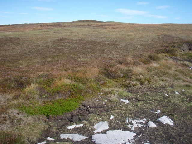
Berry Lochs is a picturesque freshwater marsh located in the Orkney Islands, situated off the northeastern coast of Scotland. Comprising a series of interconnected lakes, pools, and ponds, the Berry Lochs system is a haven for wildlife and a popular destination for nature enthusiasts.
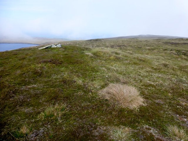
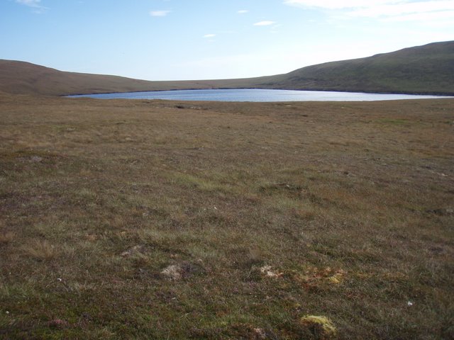
Covering an area of approximately 1,200 hectares, Berry Lochs is characterized by its diverse range of habitats. The marshland is interspersed with reed beds, wet meadows, and small areas of woodland, providing an ideal environment for a variety of plant and animal species to thrive. The lochs themselves are shallow, with depths ranging from a few centimeters to a few meters, and are rich in aquatic vegetation such as water lilies and reeds.
The Berry Lochs are home to a wide array of bird species, making it an important site for birdwatching. Visitors may spot common species such as mallards, teal, and tufted ducks, as well as more elusive and rare birds like great crested grebes and Slavonian grebes. The lochs also attract migratory birds, including whooper swans and pink-footed geese, during the winter months.
Aside from its avian population, Berry Lochs supports a diverse range of wildlife. Otters can be seen swimming in the lochs, while water voles scurry along the water's edge. Dragonflies and damselflies flit about the reeds, and butterflies can be seen fluttering through the meadows during the summer months.
With its scenic beauty and abundant wildlife, Berry Lochs offers visitors a tranquil and immersive experience in the heart of nature. Whether it's birdwatching, photography, or simply enjoying a peaceful walk, this freshwater marsh is a true gem in the Orkney Islands.
If you have any feedback on the listing, please let us know in the comments section below.
Berry Lochs Images
Images are sourced within 2km of 58.796561/-3.3112542 or Grid Reference ND2490. Thanks to Geograph Open Source API. All images are credited.


Berry Lochs is located at Grid Ref: ND2490 (Lat: 58.796561, Lng: -3.3112542)
Unitary Authority: Orkney Islands
Police Authority: Highlands and Islands
What 3 Words
///sectors.trader.classmate. Near Lyness, Orkney Islands
Nearby Locations
Related Wikis

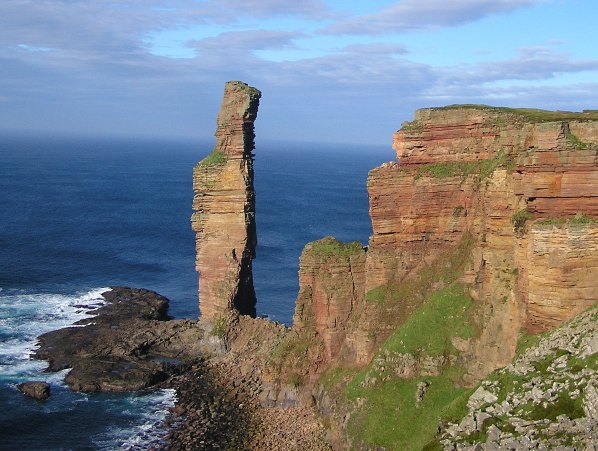
The Needle, Orkney
The Needle is a 70-metre-high (230 ft) sea stack on the island of Hoy, in Orkney, Scotland. It is located on the southwest coast of Hoy at ND243902. There...

Hoglinns Water
Hoglinns Water is a small freshwater loch in the south of the island of Hoy, Orkney. It drains in to Heldale Water via Hoglinns Burn. The loch was surveyed...

Brims, Orkney
Brims is a village at the southern point of the island of Hoy, in Orkney, Scotland. The settlement is within the parish of Walls and Flotta. The RNLI lifeboat...

RNLB Thomas McCunn (ON 759)
RNLB Thomas McCunn (ON 759) is a 45ft 6in Watson-class lifeboat stationed at Longhope in Orkney, Scotland, from January 1933 until April 1962. During...

Longhope, Orkney
Longhope is a coastal settlement on the island of South Walls, in Orkney, Scotland. South Walls is linked to Hoy by causeway; Longhope is the largest settlement...
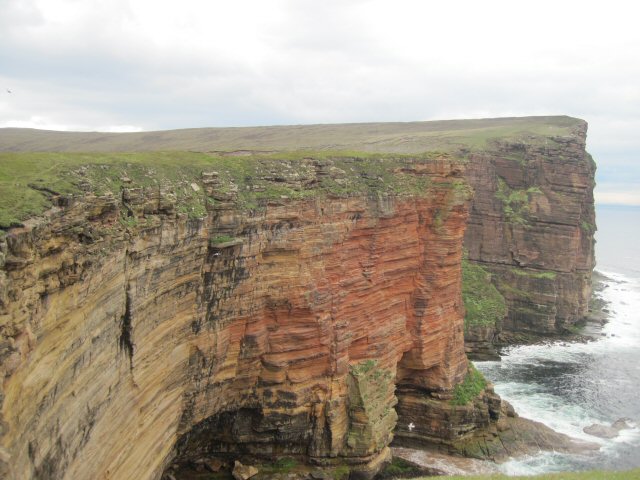
Hoy, Orkney
Hoy (Scots: Hoy; from Old Norse Háey, meaning "high island") is an island in Orkney, Scotland, measuring 143 square kilometres (55 sq mi) – the second...

Lyness
Lyness is a village on the east coast of the island of Hoy, Orkney, Scotland. The village is within the parish of Walls and Flotta, and is situated at...

South Walls
South Walls (Scots: Sooth Waas), often referred to as Walls, is an inhabited island adjacent to Hoy in Orkney, Scotland. The name is a corruption of "Sooth...
Have you been to Berry Lochs?
Leave your review of Berry Lochs below (or comments, questions and feedback).