Pol Mackree

Lake, Pool, Pond, Freshwater Marsh in Morayshire

Scotland

Pol Mackree

Cossack Wood
Cossack Wood Credit: Richard Webb

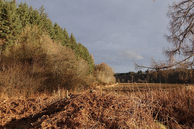
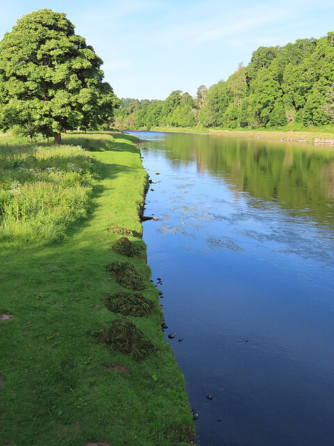
Pol Mackree is a picturesque freshwater ecosystem nestled in the county of Morayshire, Scotland. This enchanting site is a harmonious blend of a lake, pool, pond, and freshwater marsh, providing a diverse habitat for various species of flora and fauna.

The main feature of Pol Mackree is its tranquil lake, which spans across a considerable area. The crystal-clear waters of the lake glisten under the warm sunlight, creating a mesmerizing sight for visitors. Surrounding the lake, a verdant pool and pond add to the overall magnificence of the landscape. These smaller bodies of water are home to an array of aquatic plants, such as water lilies, reeds, and rushes, which thrive in the marshy terrain.

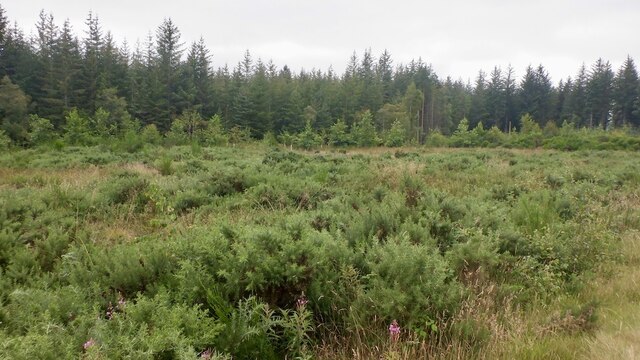
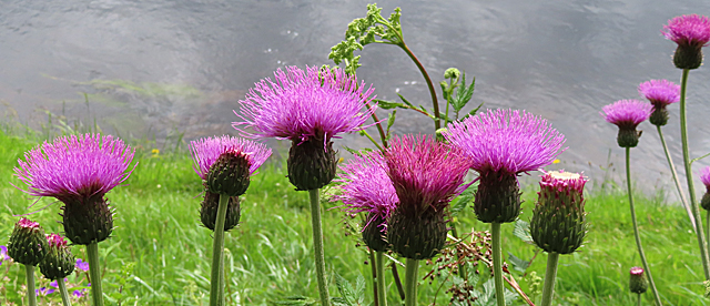
The freshwater marsh at Pol Mackree is a vital component of the ecosystem, serving as a breeding ground and shelter for numerous species. The marshland is characterized by its nutrient-rich soil, which supports a diverse array of plant life including sedges, grasses, and mosses. These vegetation types provide ample food and nesting opportunities for a variety of bird species, including the elegant heron and the elusive water rail.

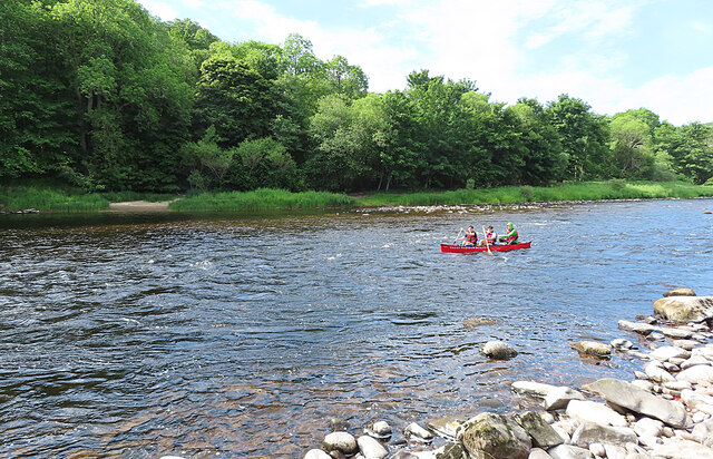
The area surrounding Pol Mackree is also rich in wildlife. Otters can often be spotted playfully swimming in the lake, while dragonflies gracefully skim the water's surface. The marshland is a haven for amphibians, with frogs and toads taking refuge amongst the reeds.

Pol Mackree is not only a haven for wildlife enthusiasts but also a serene retreat for those seeking solace amidst nature's beauty. With its diverse range of aquatic habitats and the abundance of wildlife it supports, this enchanting site in Morayshire truly exemplifies the wonders of Scotland's natural landscapes.

If you have any feedback on the listing, please let us know in the comments section below.

Pol Mackree Images

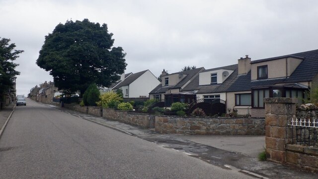
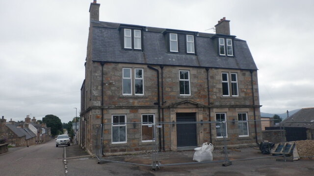
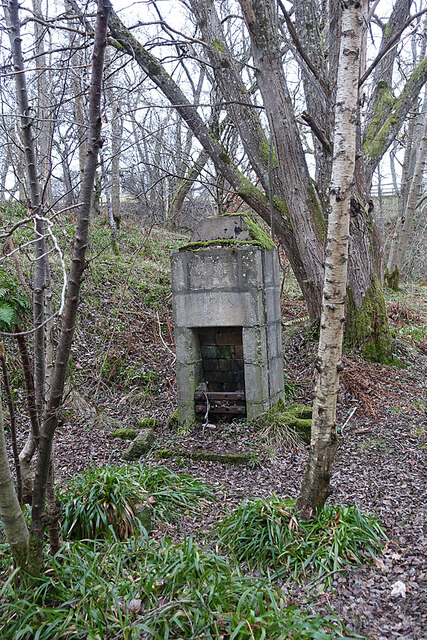
Images are sourced within 2km of 57.467733/-3.2644505 or Grid Reference NJ2442. Thanks to Geograph Open Source API. All images are credited.

Cossack Wood
Cossack Wood
B9102 east of Archiestown Passing Cossack Wood.
B9102 east of Archiestown
Passing Cossack Wood.
Field near Archiestown
High Street, Archiestown
Hotel, Archiestown Closed, unsure if permanent or temporary. There are obviously renovations in progress.
Hotel, Archiestown
Closed, unsure if permanent or temporary. There are obviously renovations in progress.
Orphaned Fireplace I surmise that this is the fireplace and chimney of a railwaymen's wooden hut that has long since vanished.
Orphaned Fireplace
I surmise that this is the fireplace and chimney of a railwaymen's wooden hut that has long since vanished.
Fungus Art We saw all sorts of pictures in the fungus on the cut end of a tree trunk. What can you see?
Fungus Art
We saw all sorts of pictures in the fungus on the cut end of a tree trunk. What can you see?
Haugh of Delltoulie Warm winter sunshine on the trees and ploughed field on the Haugh of Delltoulie.
Haugh of Delltoulie
Warm winter sunshine on the trees and ploughed field on the Haugh of Delltoulie.
Oak Leaves Fresh new leaves on an alien species of oak, possibly American Red Oak (Quercus rubra).
Oak Leaves
Fresh new leaves on an alien species of oak, possibly American Red Oak (Quercus rubra).
Water Avens (Geum rivale) This delicate flower is commonly found in damp places such as the banks of burns and rivers.
Water Avens (Geum rivale)
This delicate flower is commonly found in damp places such as the banks of burns and rivers.
Orange Tip Butterfly (Anthocharis cardamines) The absence of the orange tip that gives the species its name shows that this one is a female, but the underwing is unmistakable.
Orange Tip Butterfly (Anthocharis cardamines)
The absence of the orange tip that gives the species its name shows that this one is a female, but the underwing is unmistakable.
River Spey at Aberlour I was a little saddened to see that someone has been gathering and removing the River Water-crowfoot that is currently flowering just upstream from the bridge, but at least they haven't cleared all of it. This was at seven o'clock in the morning. When I returned several hours later the heaps had been removed.
River Spey at Aberlour
I was a little saddened to see that someone has been gathering and removing the River Water-crowfoot that is currently flowering just upstream from the bridge, but at least they haven't cleared all of it. This was at seven o'clock in the morning. When I returned several hours later the heaps had been removed.
Canoeing on the River Spey While I was on the river bank I heard the sound of voices, and shortly afterwards this canoe appeared from usptream.
Canoeing on the River Spey
While I was on the river bank I heard the sound of voices, and shortly afterwards this canoe appeared from usptream.
Canoeing on the River Spey This was the second group of canoes I saw this morning, on their way from Aviemore to Spey Bay. The trip takes four days and involves camping each night.
Canoeing on the River Spey
This was the second group of canoes I saw this morning, on their way from Aviemore to Spey Bay. The trip takes four days and involves camping each night.
Canoeing on the River Spey Two of the second group of canoes I saw today. They are one a four-day trip from Aviemore to Spey Bay, camping each night on the way.
Canoeing on the River Spey
Two of the second group of canoes I saw today. They are one a four-day trip from Aviemore to Spey Bay, camping each night on the way.
Melancholy Thistles (Cirsium heterophyllum) There's always a fine display of Melancholy Thistles here in the summer. They are so called because they were used to treat depression inolden days.
Melancholy Thistles (Cirsium heterophyllum)
There's always a fine display of Melancholy Thistles here in the summer. They are so called because they were used to treat depression inolden days.
Canoeing on the River Spey This was the third and largest group of canoes to pass down the river while I was on the bank today. There seem to be several companies offering four-day trips on the river.
Canoeing on the River Spey
This was the third and largest group of canoes to pass down the river while I was on the bank today. There seem to be several companies offering four-day trips on the river.
Show me another place!

Pol Mackree is located at Grid Ref: NJ2442 (Lat: 57.467733, Lng: -3.2644505)

Unitary Authority: Moray

Police Authority: North East

What 3 Words

///noticing.lilac.expect. Near Charlestown of Aberlour, Moray

Related Wikis

Craigneach Castle

Craigneach Castle was a tower house, about 1 mile (1.6 km) east of Carron, Strathspey, Moray, Scotland, and 3 miles (4.8 km) west of Charlestown of Aberlour...

Dailuaine distillery

Dailuaine distillery (Scottish Gaelic: Dail Uaine, [t̪alˈuəɲə], "Green Meadow") is a single malt whisky distillery in Charlestown-of-Aberlour, Strathspey...

Archiestown

Archiestown is a small village in Moray, Scotland, named in honour of its founder Sir Archibald Grant of Monymusk. It is a typical 18th century planned...

Victoria Bridge, Aberlour

The Victoria Bridge is a suspension footbridge near the village of Aberlour in Moray, Scotland. It was built in 1902, replacing a ferry that had previously...

A95 road

The A95 road is a major road of north-east Scotland connecting the A9 road in the Highlands to the A98 road near the coast. == Route == It leaves the A9...

Aberlour distillery

Aberlour distillery is a Speyside single malt Scotch whisky distillery, in Aberlour, Strathspey, Scotland, at the confluence of the Lour Burn and River...

Carron Bridge (River Spey)

The Carron Bridge is a bridge at Carron in Moray, Scotland, which crosses the River Spey between the parishes of Knockando and Aberlour. It was built for...

Aberlour railway station

Aberlour railway station served the village of Aberlour, Scotland, from 1863 to 1965. == History == The station was opened by the Strathspey Railway when...

Nearby Amenities

Located within 500m of 57.467733,-3.2644505
Barrier: cattle_grid
Lat/Long: 57.465943/-3.2589108
Barrier: cattle_grid
Lat/Long: 57.4659978/-3.258943
The data included in this document is from www.openstreetmap.org. The data is made available under ODbL.

Have you been to Pol Mackree?

Leave your review of Pol Mackree below (or comments, questions and feedback).