Babel Green
Settlement in Suffolk West Suffolk
England
Babel Green
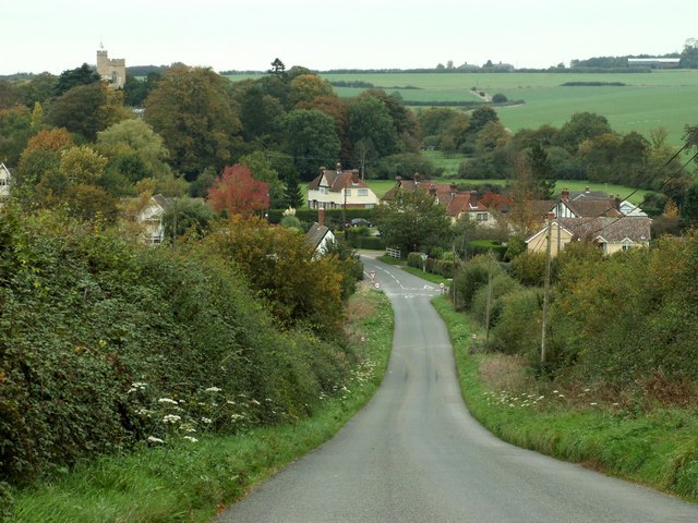
Babel Green is a charming village located in Suffolk, England. Nestled amidst picturesque countryside, it offers a tranquil and idyllic setting for residents and visitors alike. With a population of approximately 500 people, it boasts a close-knit community that takes pride in its rich history and natural beauty.
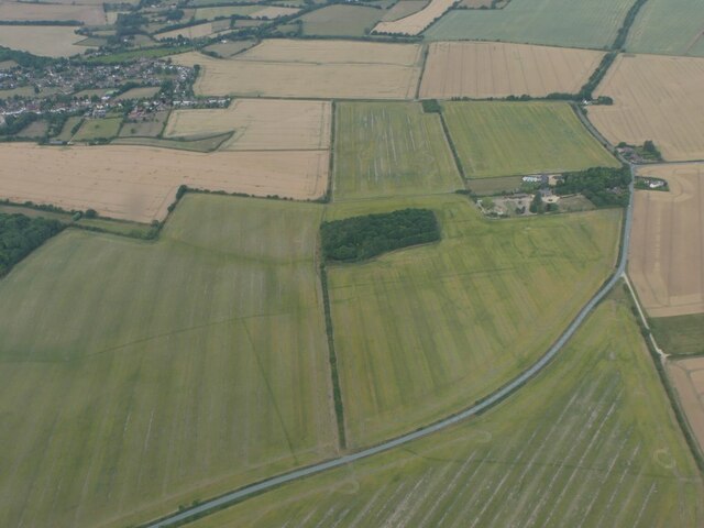
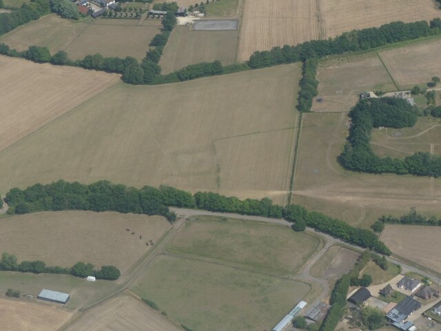
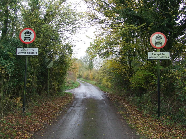
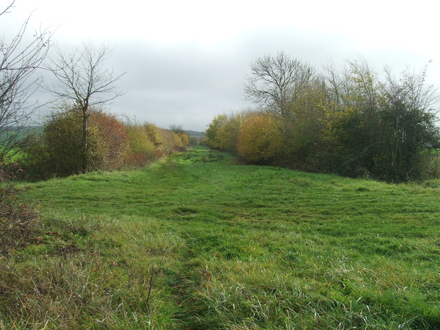
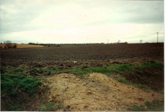
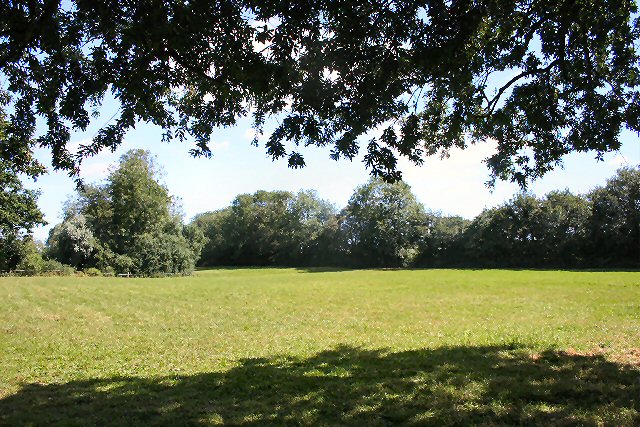
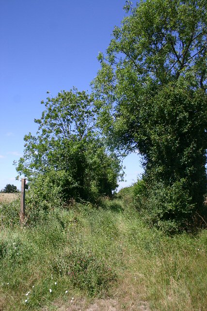
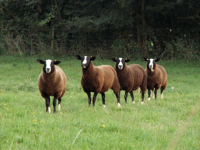
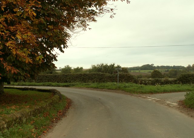
The village is renowned for its stunning landscapes, featuring rolling green hills, vast meadows, and meandering streams that add to its scenic appeal. It is a haven for nature enthusiasts, who can enjoy leisurely walks and bike rides along the many trails that crisscross the area.
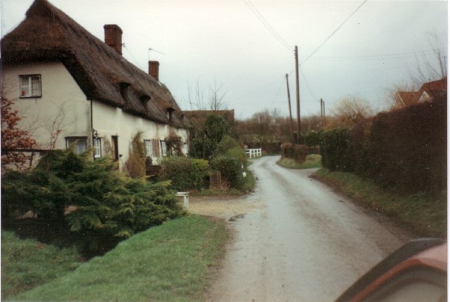
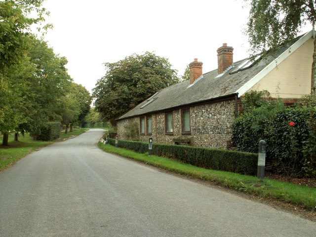
Babel Green is dotted with historic buildings that reflect its past. The village church, dating back to the 12th century, stands as a testament to its architectural heritage. Its quaint thatched cottages and old-fashioned shops contribute to the village's timeless charm.
Despite its small size, Babel Green offers a range of amenities to cater to both locals and visitors. The village has a cozy pub, The Green Inn, where one can enjoy a pint of local ale and indulge in traditional British cuisine. It also has a primary school, a village hall, and a local shop that provides essential services to the community.
Throughout the year, Babel Green hosts various events and festivals that bring together residents and visitors. The annual summer fete, with its live music, food stalls, and games, is a highlight for both young and old.
In conclusion, Babel Green is a charming village in Suffolk that offers a peaceful retreat from the hustle and bustle of city life. Its stunning landscapes, historic buildings, and tight-knit community make it a delightful place to live or visit.
If you have any feedback on the listing, please let us know in the comments section below.
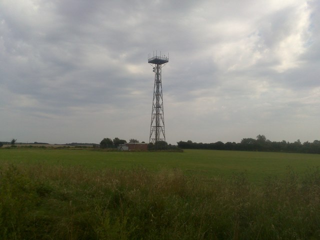
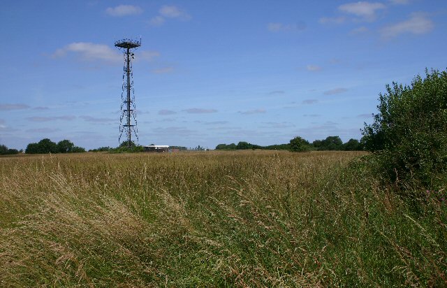
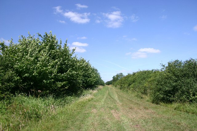
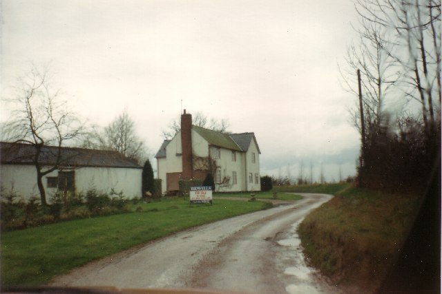
Babel Green Images
Images are sourced within 2km of 52.110714/0.52882764 or Grid Reference TL7348. Thanks to Geograph Open Source API. All images are credited.

Babel Green is located at Grid Ref: TL7348 (Lat: 52.110714, Lng: 0.52882764)
Administrative County: Suffolk
District: West Suffolk
Police Authority: Suffolk
What 3 Words
///goggle.fewest.strictest. Near Kedington, Suffolk
Nearby Locations
Related Wikis

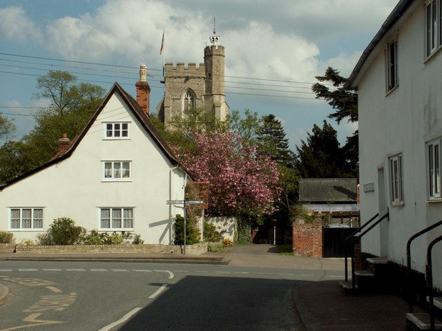
Babel Green
Babel Green is a village in Suffolk, England. There are 3969 places (city, towns, hamlets …) within a radius of 100 kilometers / 62 miles from the center...
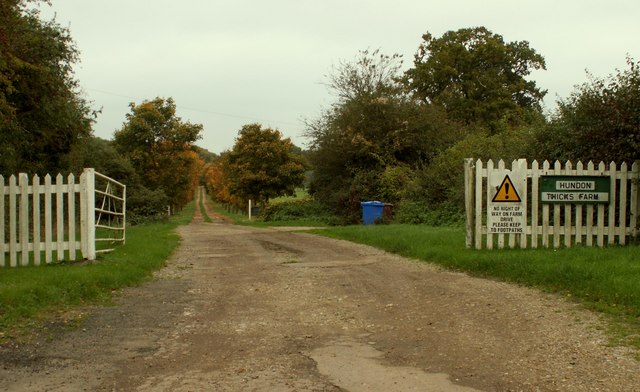
Hundon
Hundon is a village and civil parish in the West Suffolk district in Suffolk, England. The village is about 3 miles (5 km) north-west of the small town...
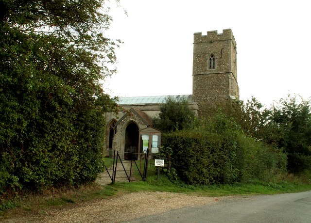
Barnardiston
Barnardiston ( bar-nər-DIS-tən) is a village and parish in the West Suffolk district of Suffolk, England. The village is located about four miles north...

RAF Stradishall
Royal Air Force Stradishall or more simply RAF Stradishall is a former Royal Air Force station located 7 miles (11 km) north east of Haverhill, Suffolk...
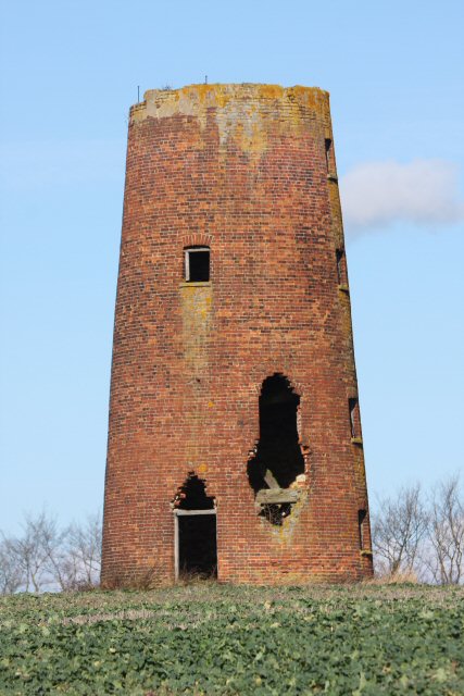
Chilton Street Mill, Clare
Chilton Street Mill is a tower mill at Clare, Suffolk, England which is derelict. == History == Chilton Street Mill was erected in 1846. It ceased work...

Chipley Priory
Chipley Priory was a small Augustine religious house, dedicated to the Blessed Virgin, located about 1 mile (2 km) north-west of the village of Poslingford...
HM Prison Highpoint South
HM Prison Highpoint South (formerly called Highpoint prison) is a Category C men's prison, located in the village of Stradishall (near Haverhill) in Suffolk...

Clare Rural District
Clare Rural District was a rural district in the county of West Suffolk, England. It was created in 1894, comprising those parishes in the Risbridge rural...
Nearby Amenities
Located within 500m of 52.110714,0.52882764Have you been to Babel Green?
Leave your review of Babel Green below (or comments, questions and feedback).