Babell

Settlement in Flintshire

Wales

Babell

Naid-y-March Standing Stones Possibly re-positioned Bronze Age stones, a filled mine shaft lies between them.
Naid-y-March Standing Stones Credit: Chris Andrews

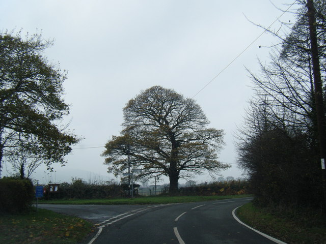
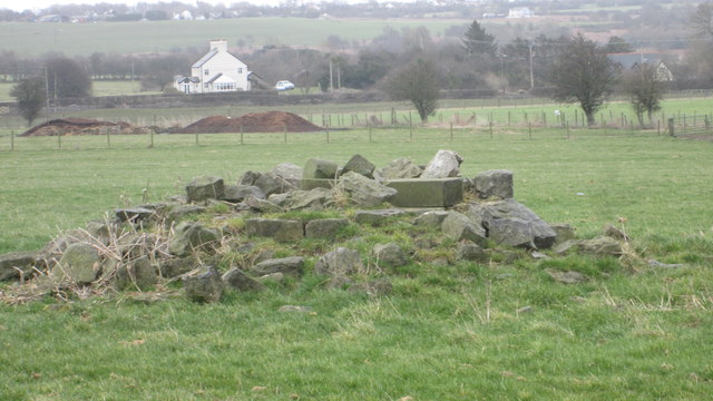
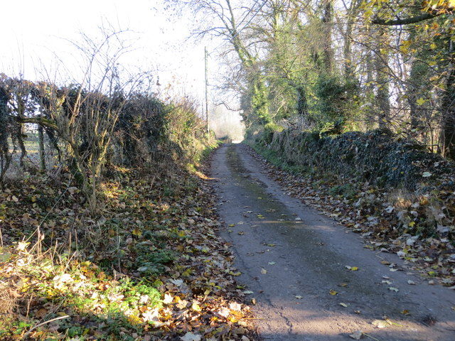
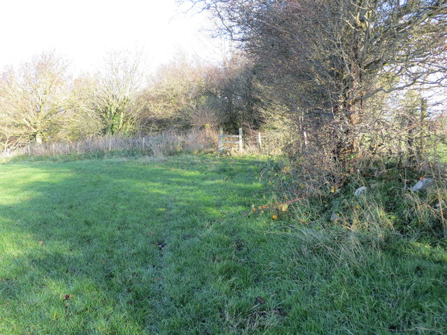
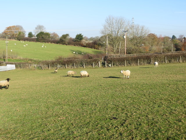
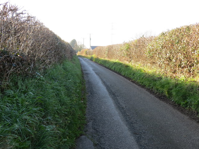
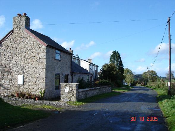
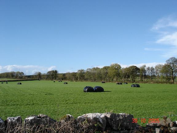
Babell is a small village located in the county of Flintshire, Wales. Situated in the northeastern part of the country, it lies approximately 4 miles southwest of the town of Holywell and 18 miles west of the city of Chester. Babell is surrounded by picturesque countryside, with rolling hills and farmland characterizing the area.

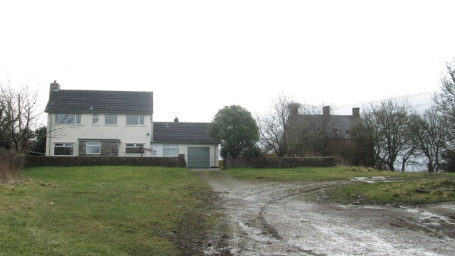
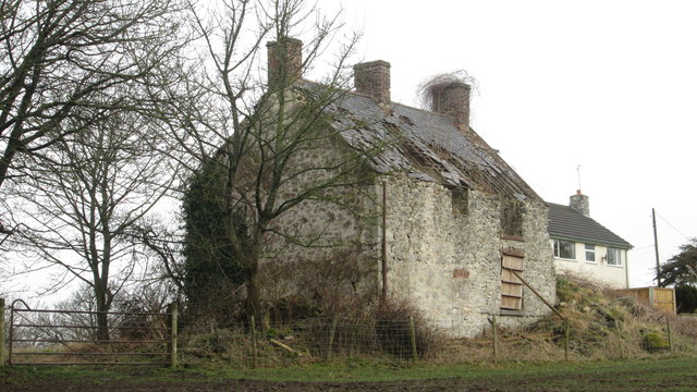
The village itself is home to a tight-knit community, with a population of around 500 residents. It is known for its peaceful and rural setting, making it an attractive place for those seeking a quieter lifestyle away from the hustle and bustle of larger towns and cities.

Babell does not have many amenities within its borders but benefits from its close proximity to neighboring towns. Holywell, with its range of shops, supermarkets, and services, is a short drive away. The village is also well-connected by road, with the A55 North Wales Expressway running nearby, providing easy access to the wider region.

Historically, Babell was primarily an agricultural community, with farming being a significant occupation for its residents. However, like many rural areas, it has experienced changes in recent years, with an increasing number of residents commuting to work in nearby towns.

Overall, Babell offers a peaceful and idyllic setting for those seeking a tranquil lifestyle in the Welsh countryside, while still enjoying the convenience of nearby amenities and transport links.

If you have any feedback on the listing, please let us know in the comments section below.
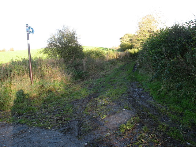
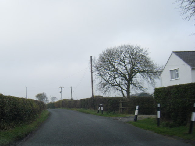
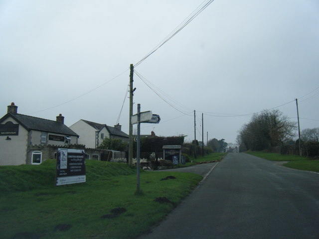
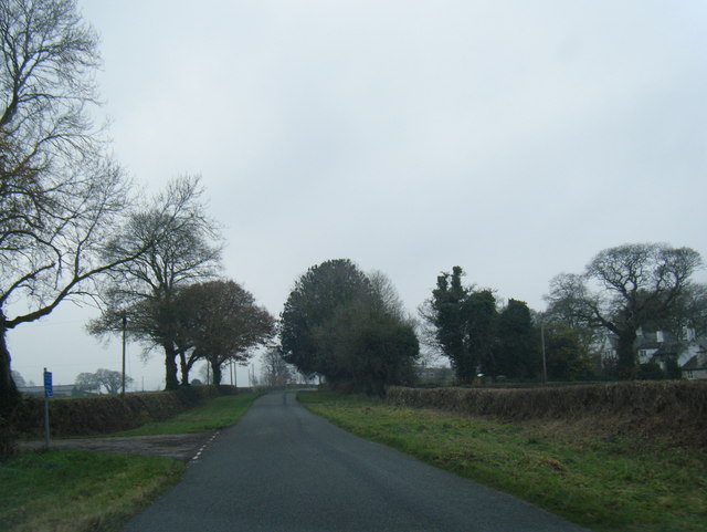
Babell Images

Images are sourced within 2km of 53.2565/-3.269173 or Grid Reference SJ1574. Thanks to Geograph Open Source API. All images are credited.

Naid-y-March Standing Stones Possibly re-positioned Bronze Age stones, a filled mine shaft lies between them.
Naid-y-March Standing Stones
Possibly re-positioned Bronze Age stones, a filled mine shaft lies between them.
A55 near Pantasaph
A55 near Pantasaph
Bridleway leading from Calcot Hall Heading for a minor road near Hafod Dedw Farm
Bridleway leading from Calcot Hall
Heading for a minor road near Hafod Dedw Farm
Stone stile On a footpath from a minor lane near Ash Farm.  There are several of these stiles recently built in this traditional style through the boundaries between fields on this route
Stone stile
On a footpath from a minor lane near Ash Farm. There are several of these stiles recently built in this traditional style through the boundaries between fields on this route
Bridleway from Ysceifiog Where it crosses a minor lane near Ash Farm, heading east through fields towards a road between Lixwm and Brynford
Bridleway from Ysceifiog
Where it crosses a minor lane near Ash Farm, heading east through fields towards a road between Lixwm and Brynford
Lane near Hafod-dew
Lane near Hafod-dew
Babell village and Black Lion Inn
Lane at Waen-isaf
Lane at Waen-isaf
Lane junction at Groes Faen Bach
The remains of the Holywell Racecourse Grandstand I believe that the wood and stone structure was evident until a few years ago but all that is left is a couple of piles of stones.
The remains of the Holywell Racecourse Grandstand
I believe that the wood and stone structure was evident until a few years ago but all that is left is a couple of piles of stones.
Calcot Hall - Old and New Not a particularly prepossessing hall - from the bridleway.
Calcot Hall - Old and New
Not a particularly prepossessing hall - from the bridleway.
Old Calcot Hall Replaced with a modern house
Old Calcot Hall
Replaced with a modern house
Monastery Road Bridge over the North Wales Expressway near Brynford The A55, also known as the North Wales Expressway (Gwibffordd Gogledd Cymru), is the major road in North Wales running for 88 miles between Chester and Holyhead via Conwy and Bangor. 

The A55 is a very high quality road, much of it rebuilt since the 1970s in response to traffic problems in Colwyn Bay, Colwyn and Llandudno caused by traffic having to pass through town centres on totally unsuitable streets, (especially in Conwy where lorries often scraped their paintwork as they passed through 12th century arches in the town's walls), leading to the construction of an east-west expressway bypassing the urban centres. It is a dual carriageway primary route for its entire length with the exception of the point where it crosses the Britannia Bridge over the Menai Strait. All of its junctions are grade separated except for two roundabouts; one east of Penmaenmawr and one in Llanfairfechan. The road originally ran from Chester to Bangor but was extended parallel to the A5 across Anglesey right into Holyhead Docks in 2001.

<span class="nowrap"><a title="http://www.sabre-roads.org.uk/wiki/index.php?title=A55" rel="nofollow ugc noopener" href="http://www.sabre-roads.org.uk/wiki/index.php?title=A55">Link</a><img style="margin-left:2px;" alt="External link" title="External link - shift click to open in new window" src="https://s1.geograph.org.uk/img/external.png" width="10" height="10"/></span>  SABRE
Monastery Road Bridge over the North Wales Expressway near Brynford
The A55, also known as the North Wales Expressway (Gwibffordd Gogledd Cymru), is the major road in North Wales running for 88 miles between Chester and Holyhead via Conwy and Bangor. The A55 is a very high quality road, much of it rebuilt since the 1970s in response to traffic problems in Colwyn Bay, Colwyn and Llandudno caused by traffic having to pass through town centres on totally unsuitable streets, (especially in Conwy where lorries often scraped their paintwork as they passed through 12th century arches in the town's walls), leading to the construction of an east-west expressway bypassing the urban centres. It is a dual carriageway primary route for its entire length with the exception of the point where it crosses the Britannia Bridge over the Menai Strait. All of its junctions are grade separated except for two roundabouts; one east of Penmaenmawr and one in Llanfairfechan. The road originally ran from Chester to Bangor but was extended parallel to the A5 across Anglesey right into Holyhead Docks in 2001. LinkExternal link SABRE
Bridge over the A55 near to Gorsedd The A55, also known as the North Wales Expressway (Gwibffordd Gogledd Cymru), is the major road in North Wales running for 88 miles between Chester and Holyhead via Conwy and Bangor. 

The A55 is a very high quality road, much of it rebuilt since the 1970s in response to traffic problems in Colwyn Bay, Colwyn and Llandudno caused by traffic having to pass through town centres on totally unsuitable streets, (especially in Conwy where lorries often scraped their paintwork as they passed through 12th century arches in the town's walls), leading to the construction of an east-west expressway bypassing the urban centres. It is a dual carriageway primary route for its entire length with the exception of the point where it crosses the Britannia Bridge over the Menai Strait. All of its junctions are grade separated except for two roundabouts; one east of Penmaenmawr and one in Llanfairfechan. The road originally ran from Chester to Bangor but was extended parallel to the A5 across Anglesey right into Holyhead Docks in 2001.

<span class="nowrap"><a title="http://www.sabre-roads.org.uk/wiki/index.php?title=A55" rel="nofollow ugc noopener" href="http://www.sabre-roads.org.uk/wiki/index.php?title=A55">Link</a><img style="margin-left:2px;" alt="External link" title="External link - shift click to open in new window" src="https://s1.geograph.org.uk/img/external.png" width="10" height="10"/></span>  SABRE
Bridge over the A55 near to Gorsedd
The A55, also known as the North Wales Expressway (Gwibffordd Gogledd Cymru), is the major road in North Wales running for 88 miles between Chester and Holyhead via Conwy and Bangor. The A55 is a very high quality road, much of it rebuilt since the 1970s in response to traffic problems in Colwyn Bay, Colwyn and Llandudno caused by traffic having to pass through town centres on totally unsuitable streets, (especially in Conwy where lorries often scraped their paintwork as they passed through 12th century arches in the town's walls), leading to the construction of an east-west expressway bypassing the urban centres. It is a dual carriageway primary route for its entire length with the exception of the point where it crosses the Britannia Bridge over the Menai Strait. All of its junctions are grade separated except for two roundabouts; one east of Penmaenmawr and one in Llanfairfechan. The road originally ran from Chester to Bangor but was extended parallel to the A5 across Anglesey right into Holyhead Docks in 2001. LinkExternal link SABRE
A section of hedge and tree-lined minor road near Coed y Carreg Looking eastward.
A section of hedge and tree-lined minor road near Coed y Carreg
Looking eastward.
Field edge path and stile near Bryn Glas Looking northward.
Field edge path and stile near Bryn Glas
Looking northward.
Footpath crossing a field with grazing sheep at Babell Looking north-eastward.
Footpath crossing a field with grazing sheep at Babell
Looking north-eastward.
Calcoed Lane enclosed between hedges and heading for Babel Looking south-westward.
Calcoed Lane enclosed between hedges and heading for Babel
Looking south-westward.
Show me another place!

Babell is located at Grid Ref: SJ1574 (Lat: 53.2565, Lng: -3.269173)

Unitary Authority: Flintshire

Police Authority: North Wales

What 3 Words

///twit.caused.plod. Near Whitford, Flintshire

Nearby Locations

Babell

Related Wikis

Babell

Babell is a hamlet in Flintshire, Wales. It is part of the community of Ysgeifiog. The hamlet takes its name from the Babell Methodist chapel, built in...

Pantasaph

Pantasaph is a small village in Flintshire, north-east Wales, two miles south of Holywell in the community of Whitford. Its name translates into English...

Calcoed

Calcoed is a small village in Flintshire, Wales. It is located to the south west of the town of Holywell, to the north west of the village of Brynford...

Holywell Golf Club

Holywell Golf Club (Welsh: Clwb Golff Treffynnon) is a golf club, situated a mile southwest of the town of Holywell, Flintshire, Wales. Instituted in...

Nearby Amenities

Located within 500m of 53.2565,-3.269173
Babell
Is In: Flintshire, Wales, United Kingdom
Name Cy: Babell
Name En: Babell
Place: village
Wikidata: Q4837708
Lat/Long: 53.253409/-3.2649885
Power: pole
Lat/Long: 53.2575495/-3.273505
Power: pole
Lat/Long: 53.2572033/-3.2719725
Power: pole
Lat/Long: 53.2568571/-3.270404
Power: pole
Lat/Long: 53.2565443/-3.2690916
Power: pole
Lat/Long: 53.2560979/-3.2670236
Power: pole
Lat/Long: 53.2557875/-3.2656667
Power: pole
Lat/Long: 53.2555296/-3.2649283
Power: pole
Lat/Long: 53.2551452/-3.2638188
Power: pole
Lat/Long: 53.2547751/-3.2626894
Power: pole
Lat/Long: 53.2609608/-3.2685109
Power: pole
Lat/Long: 53.2603793/-3.2676994
Power: pole
Lat/Long: 53.2602673/-3.2658622
Power: pole
Lat/Long: 53.2599778/-3.2646794
Power: tower
Lat/Long: 53.2538596/-3.2667476
Power: tower
Lat/Long: 53.2547207/-3.2700299
Power: tower
Lat/Long: 53.2557968/-3.2742395
Leisure: horse_riding
Lat/Long: 53.2530089/-3.2704276
Power: pole
Lat/Long: 53.2577153/-3.2734504
Power: pole
Lat/Long: 53.2579229/-3.2743742
Power: pole
Lat/Long: 53.2581939/-3.275611
Power: pole
Lat/Long: 53.2577484/-3.2744813
Power: pole
Lat/Long: 53.2583589/-3.2740496
Power: pole
Lat/Long: 53.2573902/-3.2719694
Power: pole
Lat/Long: 53.2570451/-3.2704564
Power: pole
Lat/Long: 53.2568489/-3.2695548
Power: pole
Lat/Long: 53.2567297/-3.2681398
Power: pole
Lat/Long: 53.2566236/-3.266693
Power: pole
Lat/Long: 53.256484/-3.2634655
Power: pole
Lat/Long: 53.2564393/-3.2623027
Power: pole
Lat/Long: 53.2567341/-3.2617517
Power: pole
Lat/Long: 53.2565085/-3.2651861
Power: pole
Lat/Long: 53.2562019/-3.2649226
Power: pole
Lat/Long: 53.2557164/-3.2636682
Power: pole
Lat/Long: 53.2590126/-3.2735098
Power: pole
Lat/Long: 53.2597361/-3.2728878
Power: pole
Lat/Long: 53.2602638/-3.272465
Power: pole
Lat/Long: 53.2570179/-3.2641017
Power: pole
Lat/Long: 53.257276/-3.2643035
Power: pole
Lat/Long: 53.2578192/-3.2647384
Power: pole
Lat/Long: 53.2585592/-3.2653755
Tumulus
Historic: archaeological_site
Historic Civilization: prehistoric
Lat/Long: 53.2585412/-3.2703693
Power: pole
Lat/Long: 53.2563682/-3.263372
Power: pole
Lat/Long: 53.2564091/-3.2638808
Power: pole
Lat/Long: 53.2566962/-3.2676482
Power: pole
Lat/Long: 53.2579636/-3.275466
Direction: SSW
Generator Method: photovoltaic
Generator Output Electricity: yes
Generator Solar Modules: 16
Generator Source: solar
Generator Type: solar_photovoltaic_panel
Location: roof
Power: generator
Lat/Long: 53.2527163/-3.2663734
The data included in this document is from www.openstreetmap.org. The data is made available under ODbL.

Have you been to Babell?

Leave your review of Babell below (or comments, questions and feedback).