Mare Hill

Hill, Mountain in Suffolk West Suffolk

England

Mare Hill

Cropmarks on fields near Hundon Hall: aerial 2022
Cropmarks on fields near Hundon Hall: aerial 2022 Credit: Simon Tomson

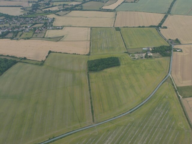
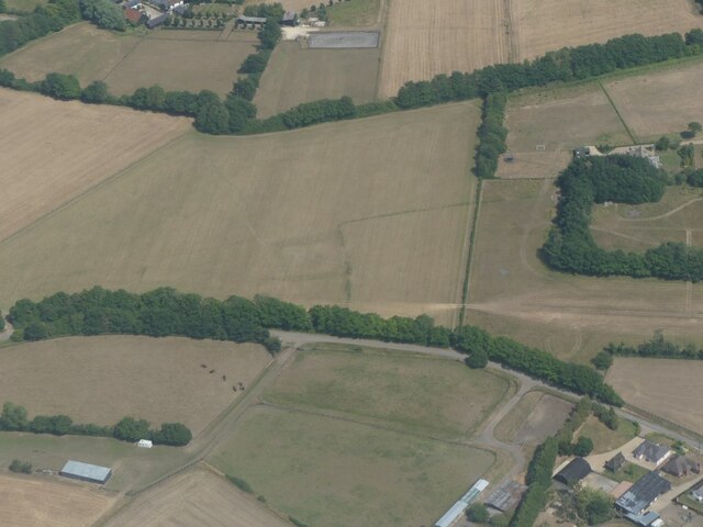
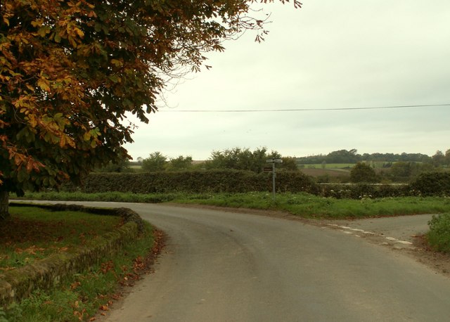
Mare Hill, located in Suffolk, England, is a prominent hill standing at approximately 89 meters (292 feet) above sea level. Situated in the eastern part of the county, it lies within the parish of Brockford, near the town of Stowmarket. The hill offers picturesque views of the surrounding countryside, making it a popular spot for nature enthusiasts and hikers.

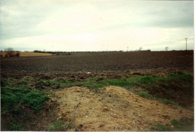
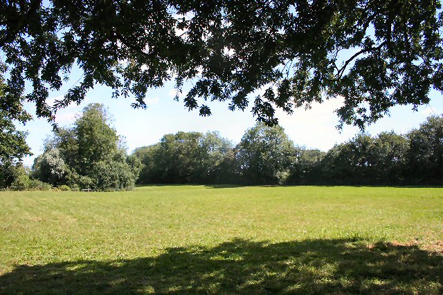
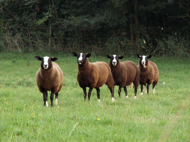
Covered in lush greenery, Mare Hill is primarily composed of clay and sand, which contributes to its fertile soil. This fertile land has historically been used for agriculture, with fields of crops and grazing livestock dotting the landscape. The hill itself is relatively gentle in slope, allowing for ease of access and making it suitable for various outdoor activities.

The area surrounding Mare Hill exhibits a rich biodiversity, with a variety of plant and animal species inhabiting its slopes. The hill's vegetation includes a mix of deciduous and coniferous trees, such as oak, beech, and pine. Wildlife enthusiasts may spot numerous bird species, including woodpeckers and owls, as well as small mammals like rabbits and foxes.

Mare Hill holds historical significance as well. The remains of ancient settlements and burial mounds have been discovered in the vicinity, indicating human presence dating back thousands of years. These archaeological findings contribute to the understanding of the region's past and add to the cultural significance of this natural landmark.

Overall, Mare Hill in Suffolk offers visitors a chance to immerse themselves in the beauty of the English countryside, explore the area's rich history, and enjoy outdoor activities in a serene and picturesque setting.

If you have any feedback on the listing, please let us know in the comments section below.
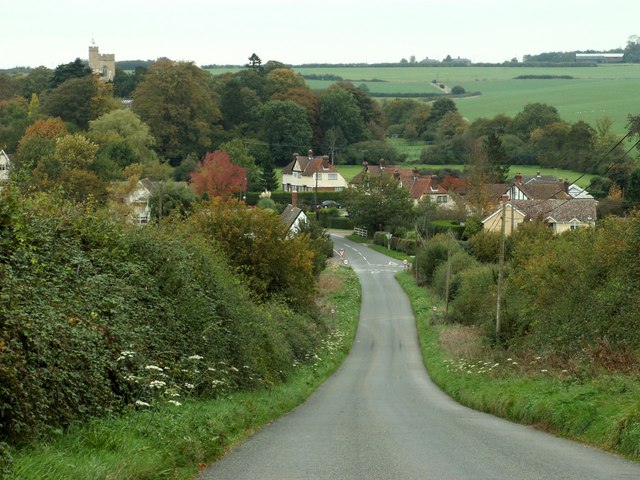
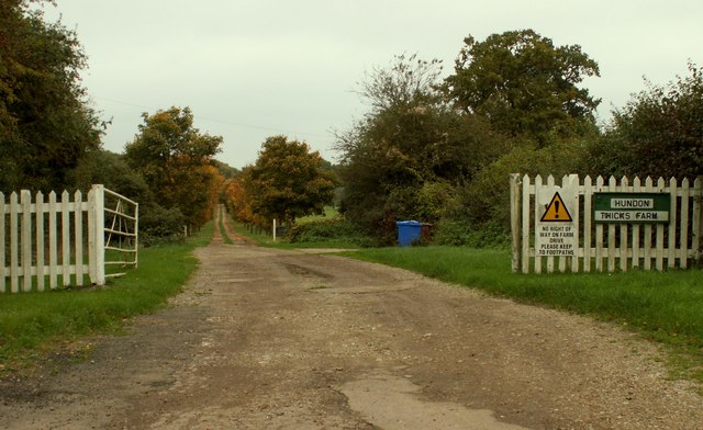
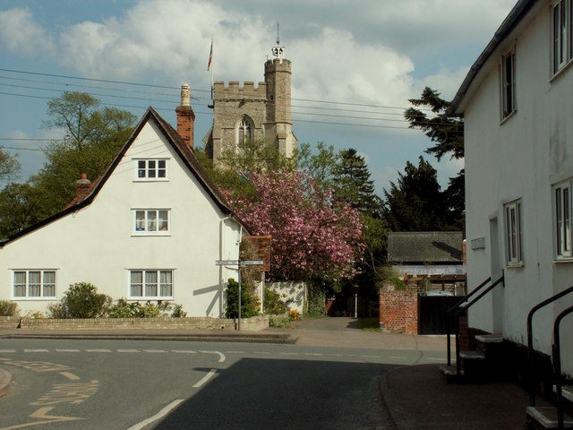
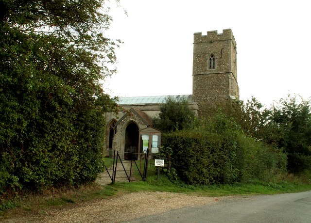
Mare Hill Images

Images are sourced within 2km of 52.103828/0.53538919 or Grid Reference TL7348. Thanks to Geograph Open Source API. All images are credited.

Cropmarks on fields near Hundon Hall: aerial 2022
Cropmark on field west of Hundon: aerial 2022
Buntry Lane & Highfield Farm <span class="nowrap"><a title="https://en.wikipedia.org/wiki/Hundon" rel="nofollow ugc noopener" href="https://en.wikipedia.org/wiki/Hundon">Link</a><img style="margin-left:2px;" alt="External link" title="External link - shift click to open in new window" src="https://s1.geograph.org.uk/img/external.png" width="10" height="10"/></span>
Buntry Lane & Highfield Farm
Cottage in Mary Lane, Babel Green <span class="nowrap"><a title="https://en.wikipedia.org/wiki/Babel_Green" rel="nofollow ugc noopener" href="https://en.wikipedia.org/wiki/Babel_Green">Link</a><img style="margin-left:2px;" alt="External link" title="External link - shift click to open in new window" src="https://s1.geograph.org.uk/img/external.png" width="10" height="10"/></span>
Cottage in Mary Lane, Babel Green
Highfield Farmland <span class="nowrap"><a title="https://en.wikipedia.org/wiki/Barnardiston" rel="nofollow ugc noopener" href="https://en.wikipedia.org/wiki/Barnardiston">Link</a><img style="margin-left:2px;" alt="External link" title="External link - shift click to open in new window" src="https://s1.geograph.org.uk/img/external.png" width="10" height="10"/></span>
Highfield Farmland
Hundon village, Suffolk This scene shows the tower of All Saints church.
Hundon village, Suffolk
This scene shows the tower of All Saints church.
Footpath to Cock Lane A path from Bear's Farm leads north-east across this open field.
Footpath to Cock Lane
A path from Bear's Farm leads north-east across this open field.
Sheep at Fox Farm
Sheep at Fox Farm
Farmhouse at Mortlock Farm, Brockley Green, Suffolk Brockley Green lies to the east of Kedington.
Farmhouse at Mortlock Farm, Brockley Green, Suffolk
Brockley Green lies to the east of Kedington.
Cottage at Brockley Green, Suffolk
The road on Maple Hill
The farmhouse at Chilton Lodge Farm This farmhouse stands close to the edge of the road that is Chilton Street.
The farmhouse at Chilton Lodge Farm
This farmhouse stands close to the edge of the road that is Chilton Street.
Road junction next to Hundon Grange Farm The turning on the right leads to Hundon.
Road junction next to Hundon Grange Farm
The turning on the right leads to Hundon.
Hundon village, taken from Mare Hill
Road to Hundon Thicks Farm, Hundon, Suffolk
The farmhouse at Wash Farm
Folly Road, the B.1063 Viewed from a lay-by
Folly Road, the B.1063
Viewed from a lay-by
Orange 'tree' If you have ever had suspicions about this tree trunk near Hundon Hall, you will be interested to know the 'tree' is in fact a disguised mobile phone mast, operated by Orange.
Orange 'tree'
If you have ever had suspicions about this tree trunk near Hundon Hall, you will be interested to know the 'tree' is in fact a disguised mobile phone mast, operated by Orange.
Show me another place!

Mare Hill is located at Grid Ref: TL7348 (Lat: 52.103828, Lng: 0.53538919)

Administrative County: Suffolk

District: West Suffolk

Police Authority: Suffolk

What 3 Words

///sprint.beats.slurping. Near Kedington, Suffolk

Related Wikis

Babel Green

Babel Green is a village in Suffolk, England. There are 3969 places (city, towns, hamlets …) within a radius of 100 kilometers / 62 miles from the center...

Hundon

Hundon is a village and civil parish in the West Suffolk district in Suffolk, England. The village is about 3 miles (5 km) north-west of the small town...

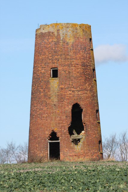
Chilton Street Mill, Clare

Chilton Street Mill is a tower mill at Clare, Suffolk, England which is derelict. == History == Chilton Street Mill was erected in 1846. It ceased work...

Barnardiston

Barnardiston ( bar-nər-DIS-tən) is a village and parish in the West Suffolk district of Suffolk, England. The village is located about four miles north...

Chipley Priory

Chipley Priory was a small Augustine religious house, dedicated to the Blessed Virgin, located about 1 mile (2 km) north-west of the village of Poslingford...

Poslingford

Poslingford is a village and civil parish in the West Suffolk district of Suffolk in eastern England, near to a stream that feeds the into the Chilton...

Kedington

Kedington is a village and civil parish in the West Suffolk district of Suffolk in eastern England, located between the towns of Clare and Haverhill in...

RAF Stradishall

Royal Air Force Stradishall or more simply RAF Stradishall is a former Royal Air Force station located 7 miles (11 km) north east of Haverhill, Suffolk...

Nearby Amenities

Located within 500m of 52.103828,0.53538919
Bus Stop
Farmerie Road
Naptan AtcoCode: 390050206
Naptan Bearing: N
Naptan CommonName: Farmerie Road
Naptan Indicator: adj
Naptan Landmark: Farmerie Road
Naptan NaptanCode: sufgdpgw
Naptan Street: Lower North Street
Naptan Verified: no
Source: naptan_import
Lat/Long: 52.1077446/0.5368583
Bus Stop
Farmerie Road
Naptan AtcoCode: 390050207
Naptan Bearing: S
Naptan BusStopType: CUS
Naptan CommonName: Farmerie Road
Naptan Indicator: opp
Naptan Landmark: Farmerie Road
Naptan NaptanCode: sufgdpja
Naptan Street: Lower North Street
Naptan Verified: no
Source: naptan_import
Lat/Long: 52.1076016/0.5370021
The data included in this document is from www.openstreetmap.org. The data is made available under ODbL.

Have you been to Mare Hill?

Leave your review of Mare Hill below (or comments, questions and feedback).