Axwell Park
Settlement in Durham
England
Axwell Park
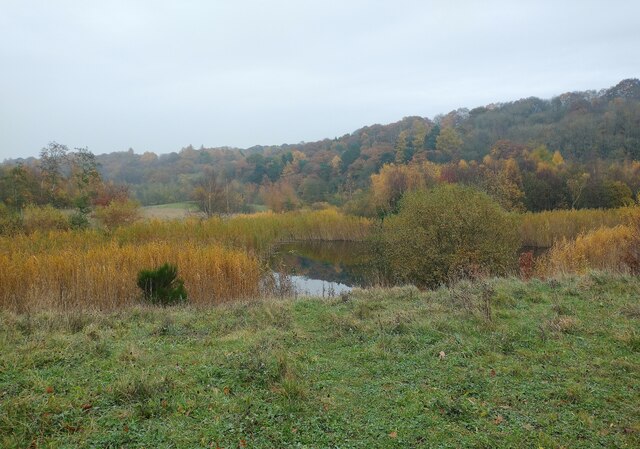
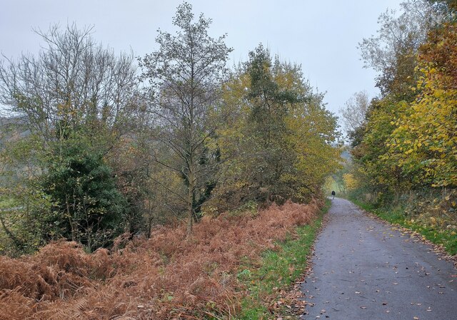
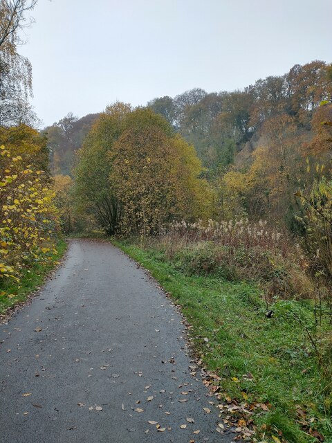
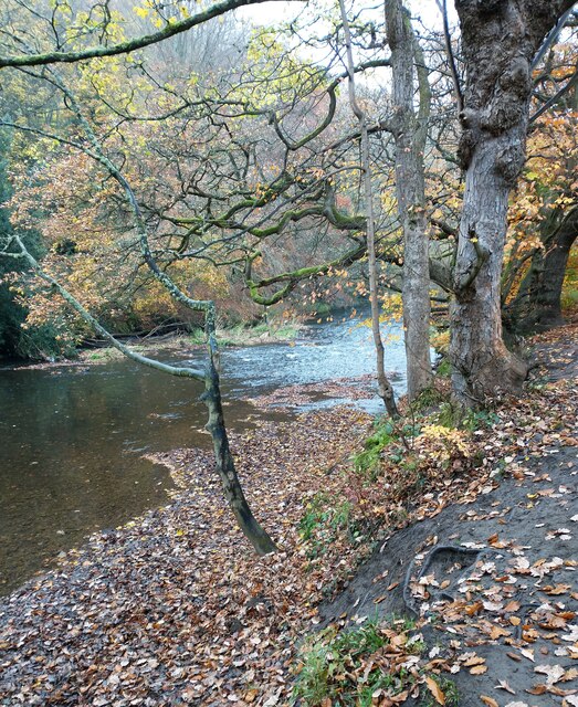
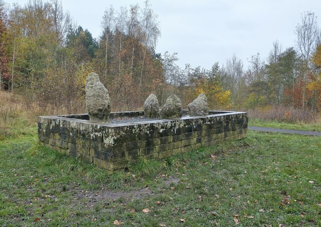
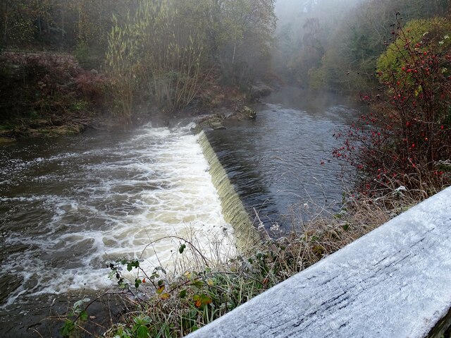
Axwell Park is a historic estate located near the village of Blaydon-on-Tyne in County Durham, England. Situated approximately 5 miles southwest of Newcastle upon Tyne, it covers an expansive area of approximately 80 acres. The park is known for its stunning landscape, featuring beautifully manicured gardens, woodland areas, and a picturesque lake.
The estate dates back to the 18th century and was originally the property of the Clavering family. In the 19th century, it underwent significant renovations and expansions under the ownership of the influential Russell family. Today, Axwell Park is owned by the National Trust and is open to the public.
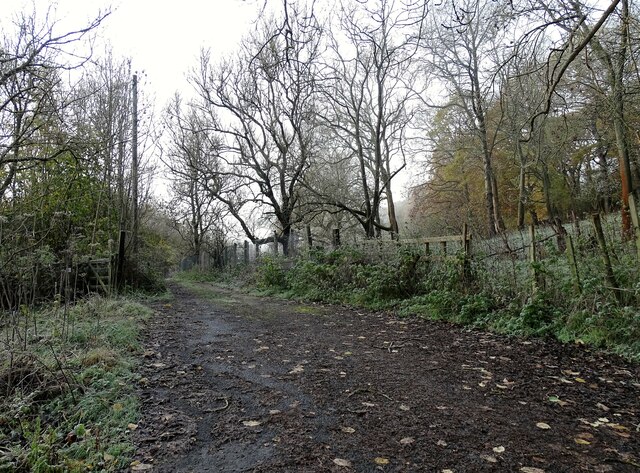
Visitors to Axwell Park can explore the extensive grounds, taking leisurely strolls along its well-maintained pathways. The park offers a variety of attractions, including a children's play area, a walled garden, and an arboretum. The arboretum boasts a diverse collection of trees and plants, making it a popular spot for nature enthusiasts and botany lovers.
In addition to its natural beauty, Axwell Park also boasts a magnificent Georgian mansion. This Grade II listed building is an architectural gem, showcasing stunning craftsmanship and design. While the mansion is not open to the public, it serves as a private residence.
Overall, Axwell Park is a tranquil and idyllic destination, offering visitors a peaceful retreat from the bustling nearby cities. With its rich history, breathtaking scenery, and well-preserved features, it remains a cherished gem in the Durham countryside.
If you have any feedback on the listing, please let us know in the comments section below.
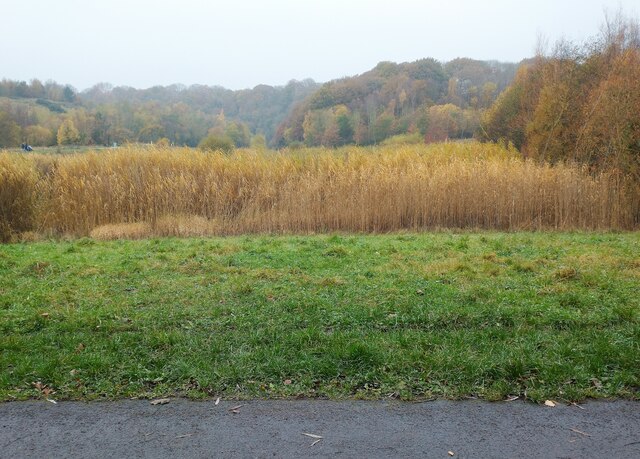
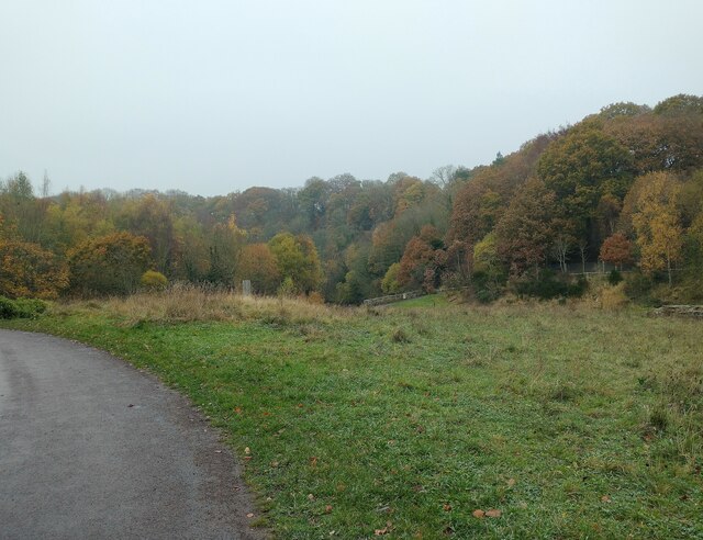
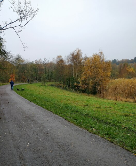
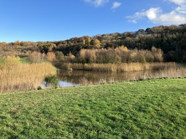
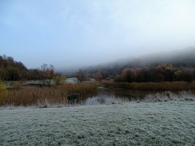
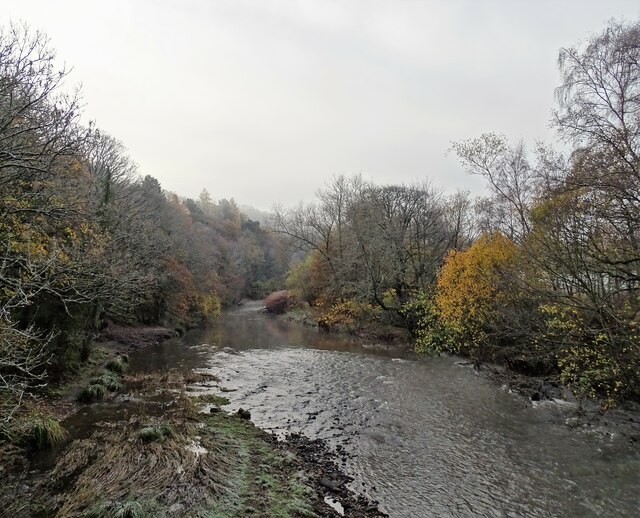
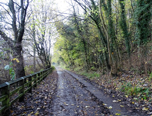
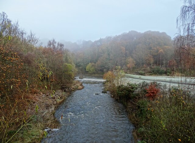
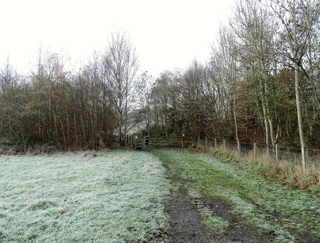
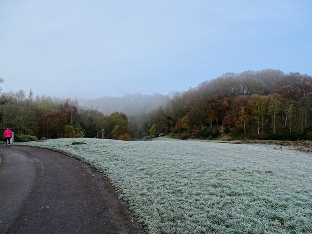
Axwell Park Images
Images are sourced within 2km of 54.951418/-1.707209 or Grid Reference NZ1861. Thanks to Geograph Open Source API. All images are credited.
Axwell Park is located at Grid Ref: NZ1861 (Lat: 54.951418, Lng: -1.707209)
Unitary Authority: Gateshead
Police Authority: Northumbria
What 3 Words
///soda.incomes.beyond. Near Blaydon-on-Tyne, Tyne & Wear
Nearby Locations
Related Wikis
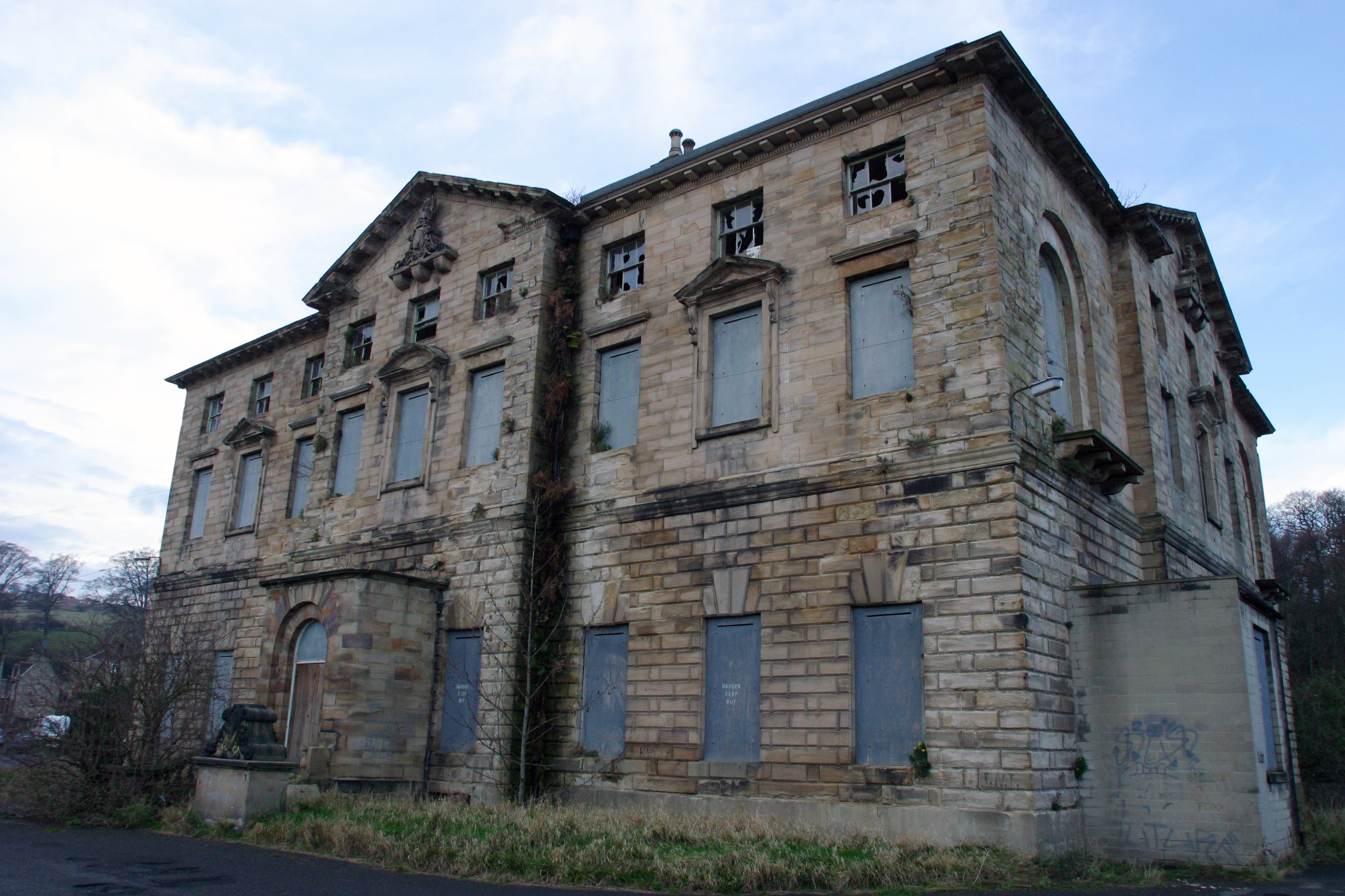
Axwell House
Axwell House (also Axwell Hall or Axwell Park) is a mansion house and Grade II* listed building, at Axwell Park, Blaydon, Tyne and Wear, England.The house...

Derwenthaugh Coke Works
Derwenthaugh Coke Works was a coking plant on the River Derwent near Swalwell in Gateshead. The works were built in 1928 on the site of the Crowley's Iron...

Blaydon (UK Parliament constituency)
Blaydon is a constituency represented in the House of Commons since 2017 by Liz Twist of the Labour Party.The seat is due to be abolished for the next...
Blaydon RFC
Blaydon Rugby Club is an English semi-professional rugby union team. The first team currently play in the fifth tier of the English rugby union system...
Winlaton Mill
Winlaton Mill is a village in Tyne and Wear, North East England. It is not to be confused with Winlaton to the northwest which now comprises the southern...

Swalwell railway station
Swalwell railway station served the village of Swalwell, Tyne and Wear, England from 1868 to 1960 on the Derwent Valley Railway. == History == The station...
Ottovale coke works
Ottovale coke works was a large industrial complex situated at Blaydon Burn, near Blaydon-on-Tyne, Gateshead, North East England. The complex comprised...
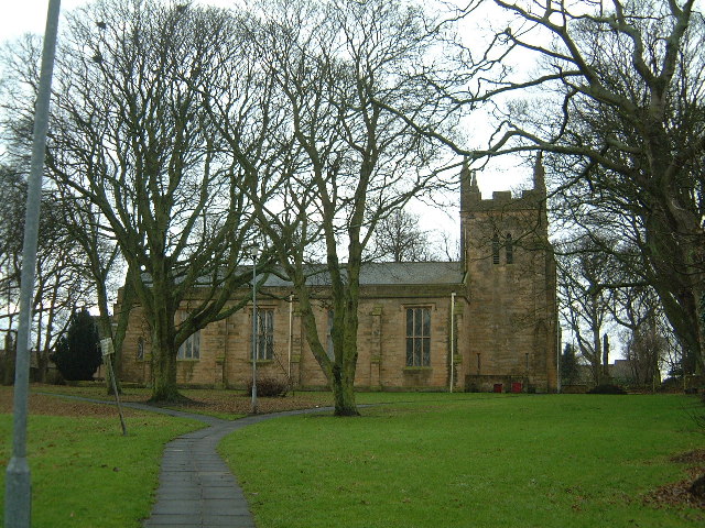
St Paul's Church, Winlaton
St Paul's Church is a 19th-century church in Winlaton, Tyne and Wear, England, dedicated to St Paul. It is a Grade II listed building. == History == The...
Nearby Amenities
Located within 500m of 54.951418,-1.707209Have you been to Axwell Park?
Leave your review of Axwell Park below (or comments, questions and feedback).