Aycliff
Settlement in Kent Dover
England
Aycliff

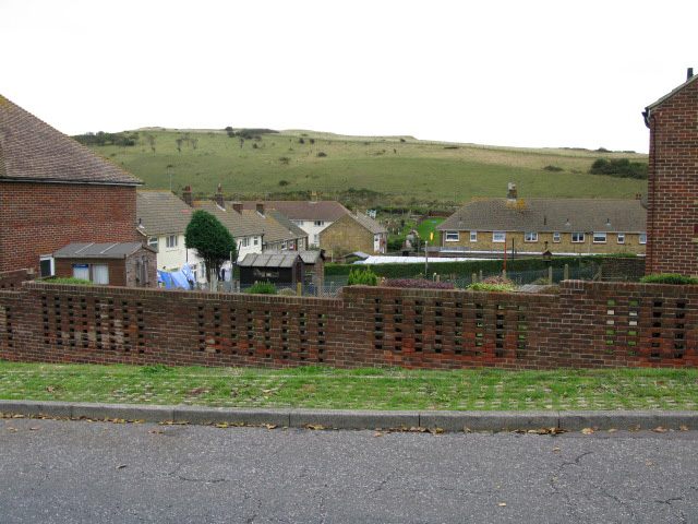
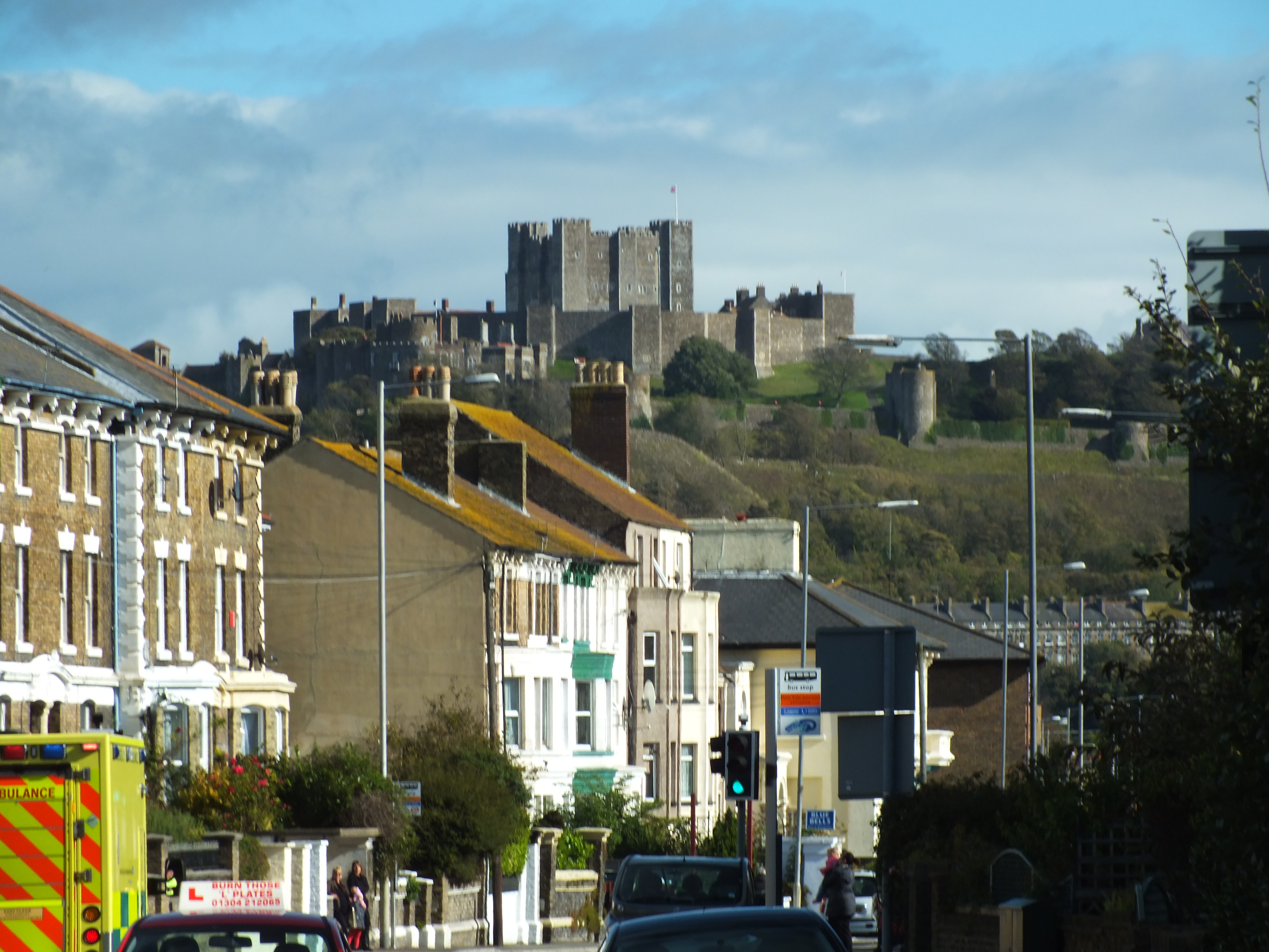
Aycliff is a quaint village situated in the county of Kent, in southeastern England. With a population of approximately 1,500 residents, Aycliff exudes a charming small-town atmosphere that is highly sought after by those seeking a peaceful and idyllic lifestyle.
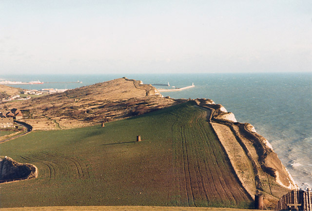
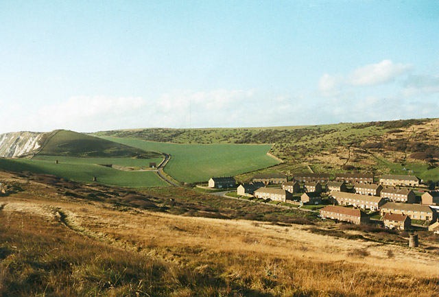
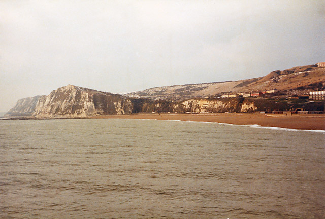
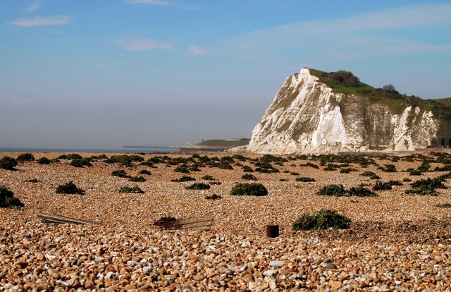
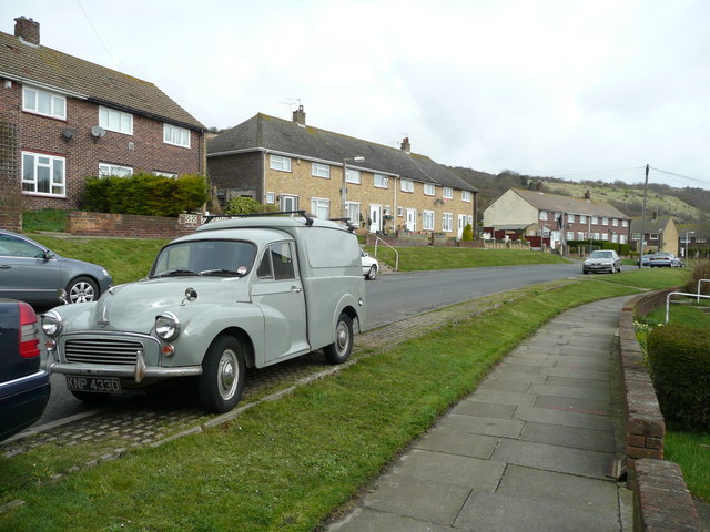
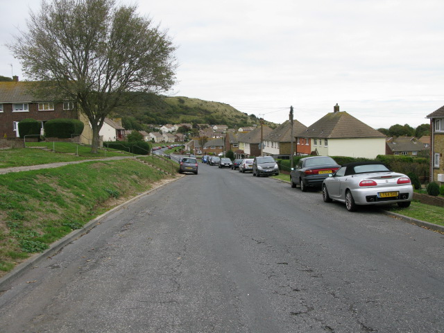
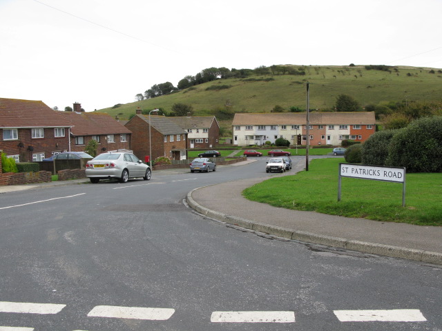
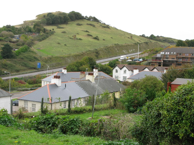
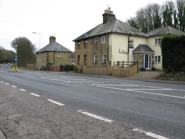
Nestled amidst the picturesque countryside, Aycliff boasts breathtaking natural beauty, with rolling green hills and sprawling meadows that surround the village. The quaint architecture of the village is characterized by traditional English cottages made of brick and timber, adding to its timeless appeal.
The village of Aycliff offers a range of amenities to its residents, including a local convenience store, a post office, and a pub, which serves as a popular gathering spot for locals and visitors alike. Additionally, Aycliff is home to a primary school, providing excellent educational facilities for the young residents of the village.
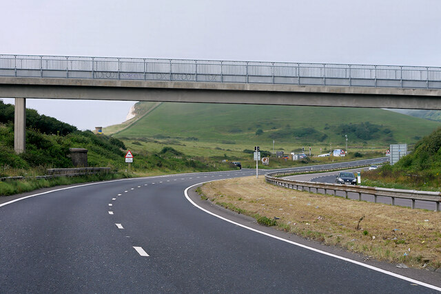
For those seeking outdoor activities, Aycliff offers ample opportunities. The surrounding countryside provides numerous walking and cycling trails, allowing residents to explore the stunning landscape at their leisure. The nearby Aycliff Woods, a designated nature reserve, is a haven for nature enthusiasts, boasting an array of flora and fauna.
Transportation links to Aycliff are well-established, with regular bus services connecting the village to nearby towns and cities. The village is conveniently located just a short drive away from the bustling city of Canterbury, renowned for its historic cathedral and vibrant cultural scene.
In conclusion, Aycliff is a picturesque village in the heart of Kent, offering a tranquil setting, natural beauty, and a range of amenities, making it an ideal place to call home for those seeking a quintessential English village experience.
If you have any feedback on the listing, please let us know in the comments section below.
Aycliff Images
Images are sourced within 2km of 51.112185/1.292945 or Grid Reference TR3039. Thanks to Geograph Open Source API. All images are credited.


Aycliff is located at Grid Ref: TR3039 (Lat: 51.112185, Lng: 1.292945)
Administrative County: Kent
District: Dover
Police Authority: Kent
What 3 Words
///output.contemplate.regaining. Near Dover, Kent
Nearby Locations
Related Wikis
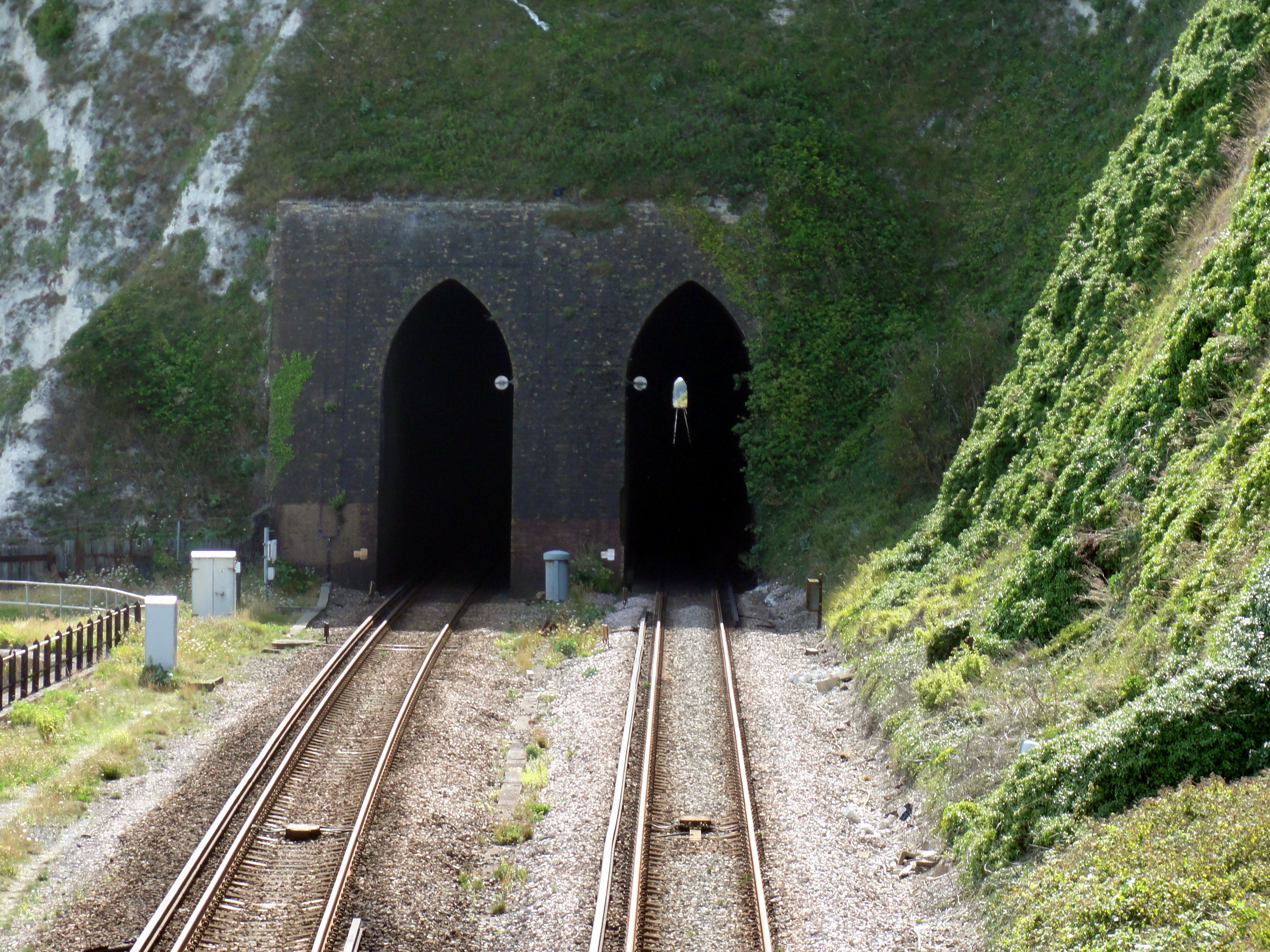
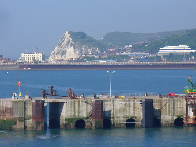
Shakespeare Tunnel
Shakespeare Tunnel is a railway tunnel carrying the South Eastern Main Line between Folkestone and Dover in Kent, UK. Completed in 1884, it was bored beneath...

Western Heights LNR
Western Heights is a 51.7-hectare (128-acre) Local Nature Reserve in Dover in Kent. It is owned by Dover Town Council and managed by the White Cliffs...

Dover Immigration Removal Centre
Dover Immigration Removal Centre (formerly known as Dover Prison) was an immigration detention centre, located in the historic citadel of the Western Heights...
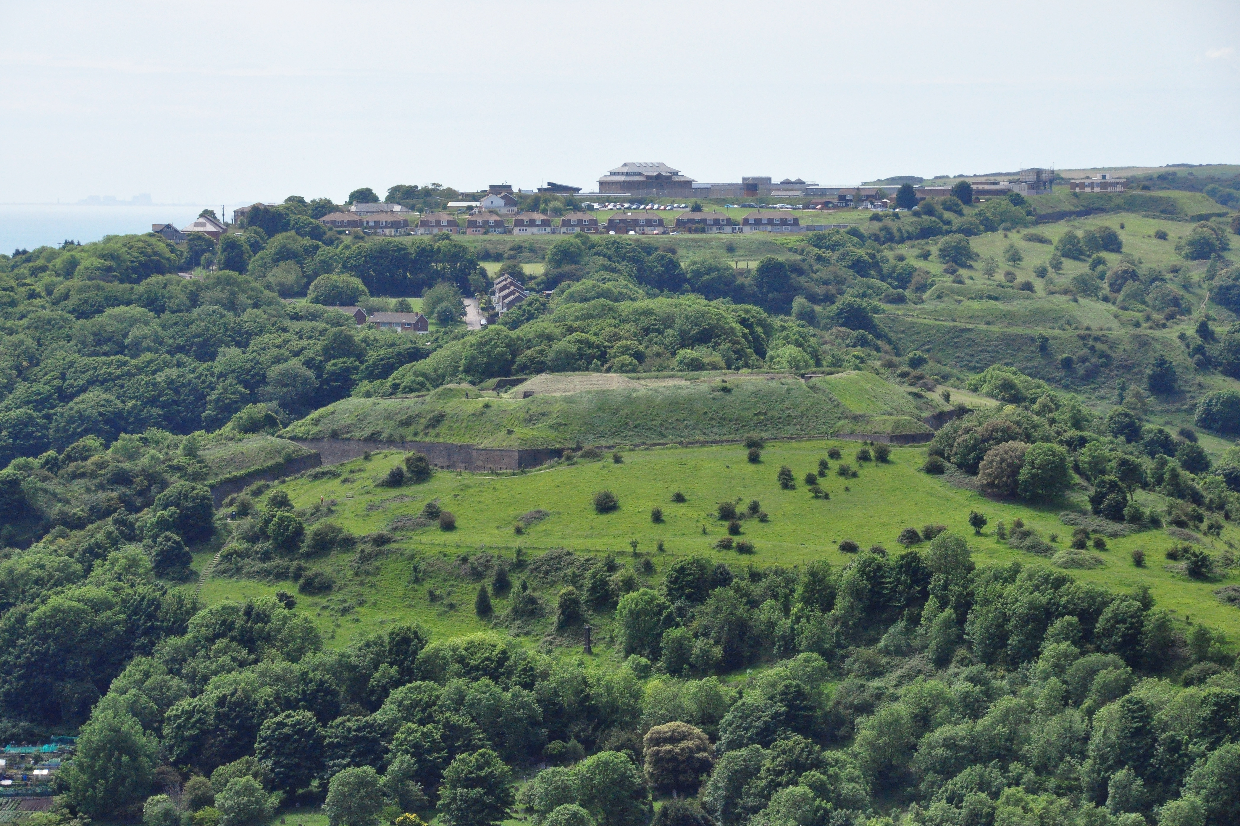
Dover Western Heights
The Western Heights of Dover are one of the most impressive fortifications in Britain. They comprise a series of forts, strong points and ditches, designed...
Maxton, Kent
Maxton is an area in the west of Dover, in the county of Kent, England. Maxton also served as the terminus of the tramway system serving the town until...

Knights Templar Church, Dover
The Knights Templar Church in Dover is the ruins of a medieval church on Bredenstone hill, part of the Dover Western Heights in Kent, England. It has been...

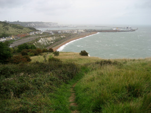
Shakespeare Cliff Halt railway station
Shakespeare Cliff Halt is a private halt station on the South Eastern Main Line. It is located to the western end of the dual-bore Shakespeare Cliff tunnel...
Farthingloe
Farthingloe is a village west of Dover in southeast England. == External links == Media related to Farthingloe at Wikimedia Commons
Nearby Amenities
Located within 500m of 51.112185,1.292945Have you been to Aycliff?
Leave your review of Aycliff below (or comments, questions and feedback).