Aycliffe Village
Settlement in Durham
England
Aycliffe Village
Aycliffe Village is a small village located in County Durham, England. Situated approximately 5 miles north of Newton Aycliffe town, it is known for its picturesque surroundings and close-knit community. Aycliffe Village is surrounded by beautiful countryside, with rolling hills and green fields providing a peaceful and idyllic setting.
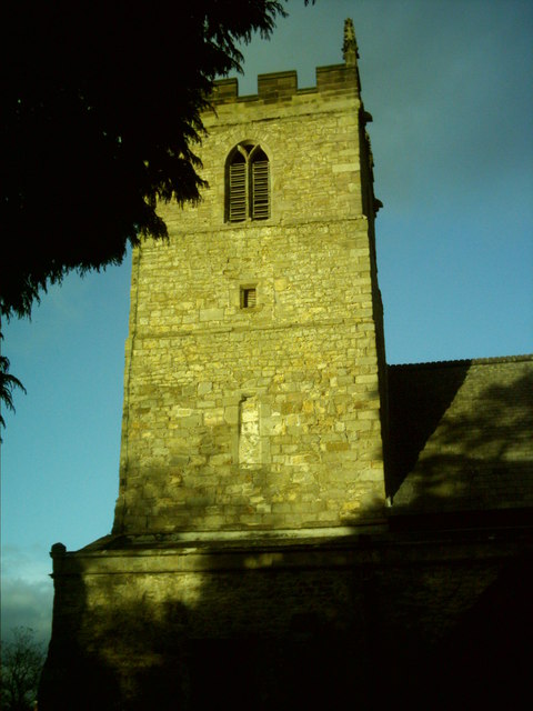
The village itself dates back to medieval times and has a rich history. The focal point of the village is St. Andrew's Church, a charming 12th-century building that has been well-preserved over the years. The church serves as a reminder of the village's heritage and is often visited by locals and tourists alike.
In terms of amenities, Aycliffe Village has a few local shops and a popular pub, which serves as a meeting point for residents. The village also has a primary school, providing educational facilities for young children.
While Aycliffe Village is a predominantly residential area, it benefits from its proximity to the larger town of Newton Aycliffe. Newton Aycliffe offers a wider range of amenities, including supermarkets, restaurants, and leisure facilities. This allows residents of Aycliffe Village to have easy access to a variety of services and activities.
Overall, Aycliffe Village is a charming and peaceful village that offers a tranquil lifestyle for its residents. With its rich history and beautiful surroundings, it is a place that attracts those seeking a close-knit community and a slower pace of life.
If you have any feedback on the listing, please let us know in the comments section below.
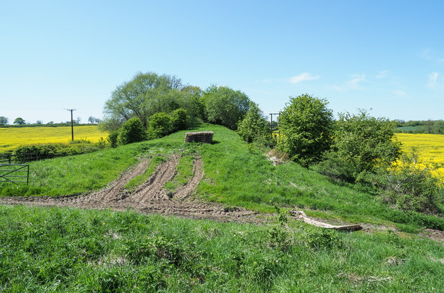
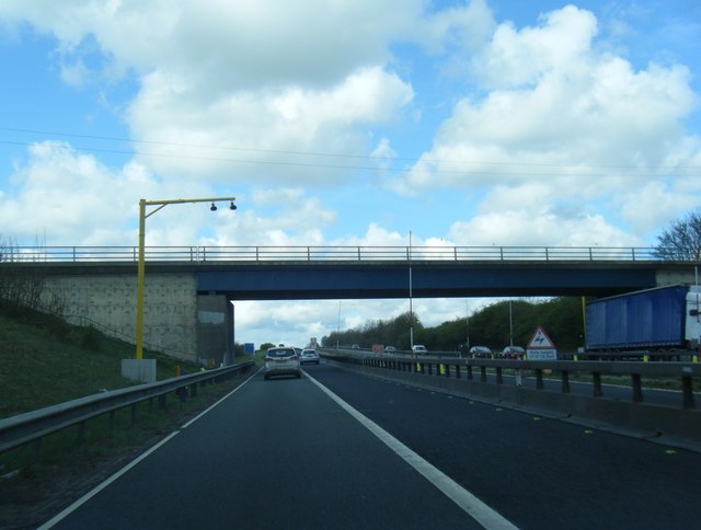
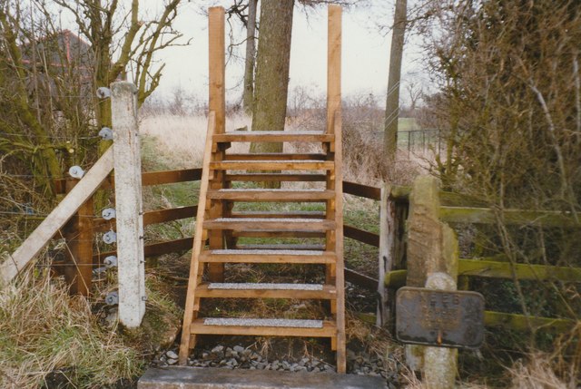
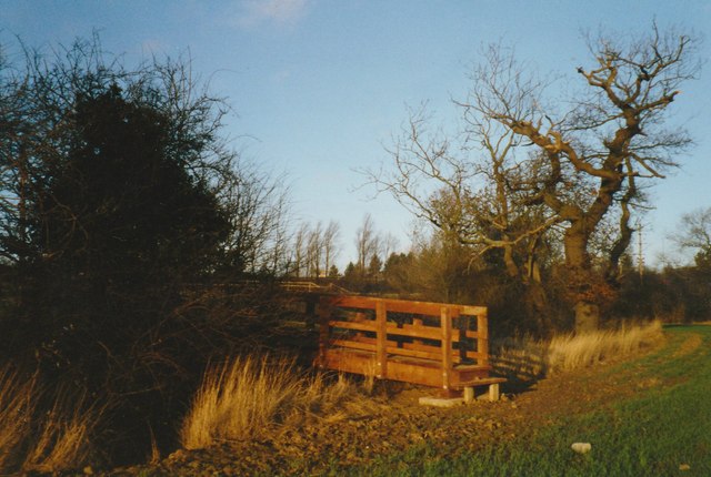
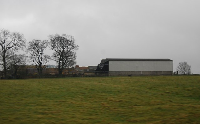
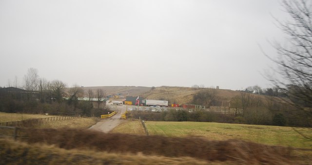
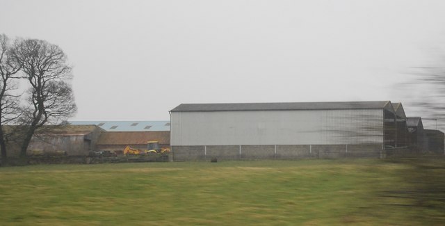
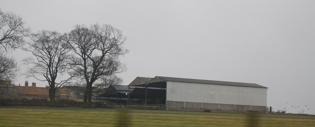
Aycliffe Village Images
Images are sourced within 2km of 54.599059/-1.561735 or Grid Reference NZ2822. Thanks to Geograph Open Source API. All images are credited.


Aycliffe Village is located at Grid Ref: NZ2822 (Lat: 54.599059, Lng: -1.561735)
Unitary Authority: County Durham
Police Authority: Durham
What 3 Words
///flown.found.hidden. Near Newton Aycliffe, Co. Durham
Nearby Locations
Related Wikis
Aycliffe Village
Aycliffe Village is a village in County Durham, in England. It is situated immediately to the south of the town of Newton Aycliffe. == History == ��3...

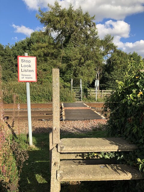
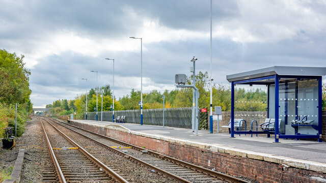
Aycliffe railway station
Aycliffe railway station served the village of Aycliffe in County Durham, England. The railway station was served by trains on the East Coast Main Line...

ROF Aycliffe
ROF Aycliffe, was a Royal Ordnance Factory built on an 867-acre (3.51 km2) site off Heighington Lane, Aycliffe, County Durham, England during the early...

Aycliffe Stadium
Aycliffe Stadium was a sports facility located in County Durham, England, on the southern edge of the Aycliffe Industrial Estate, which has Newton Aycliffe...
UTC South Durham
UTC South Durham is a University Technical College located in Newton Aycliffe, County Durham. It opened in 2016 and caters for 14–19 year olds with an...

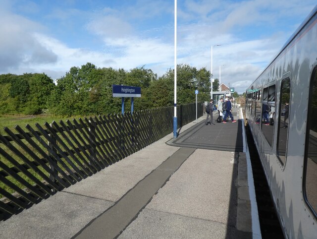
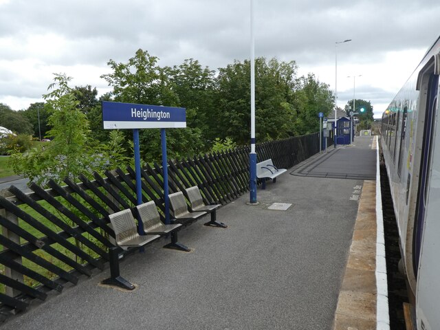
Heighington railway station
Heighington is a railway station on the Tees Valley Line, which runs between Bishop Auckland and Saltburn via Darlington. The station, situated 5 miles...
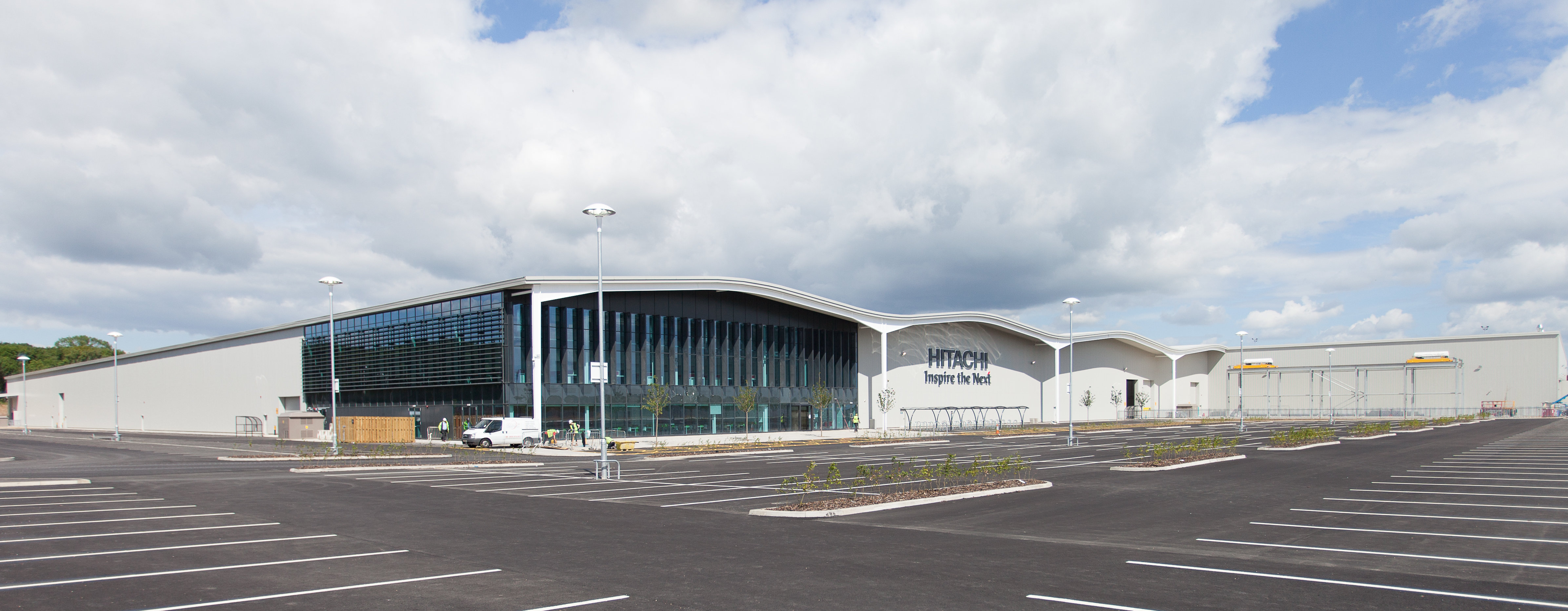
Hitachi Newton Aycliffe
Hitachi Newton Aycliffe (also known as Newton Aycliffe Manufacturing Facility) is a railway rolling stock assembly plant owned by Hitachi Rail Europe,...
Newton Aycliffe F.C.
Newton Aycliffe Football Club is an English football club based in Newton Aycliffe, County Durham. The club's ground is The SecuriCorp Stadium based at...
Nearby Amenities
Located within 500m of 54.599059,-1.561735Have you been to Aycliffe Village?
Leave your review of Aycliffe Village below (or comments, questions and feedback).