Heworth Wood

Wood, Forest in Durham

England

Heworth Wood

Wheat field
Wheat field Credit: N Chadwick

Heworth Wood is a small forest located in Durham, England. It covers an area of approximately 20 acres and is situated in the hilly landscape of the county. The wood is known for its diverse range of trees, including oak, beech, and ash, which create a dense canopy and provide a habitat for various wildlife species.

The forest is a popular destination for nature lovers and hikers, offering several well-marked trails that wind through the trees and provide stunning views of the surrounding countryside. Visitors can expect to encounter a variety of flora and fauna along the paths, such as wildflowers, ferns, and songbirds.

Heworth Wood also holds historical significance, with evidence of human activity dating back to the Roman period. Archaeological finds, including pottery and coins, have been discovered within the forest, indicating that it was once inhabited or used for various purposes by ancient civilizations.

The wood is well-maintained by local authorities, ensuring that it remains accessible and safe for visitors. Picnic areas and benches are scattered throughout the forest, providing a perfect spot for visitors to relax and enjoy the peaceful ambiance.

Overall, Heworth Wood offers a tranquil escape from the bustling city life of Durham. Its natural beauty, diverse wildlife, and historical significance make it a worthwhile destination for both locals and tourists seeking a peaceful retreat in nature.

If you have any feedback on the listing, please let us know in the comments section below.
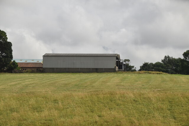
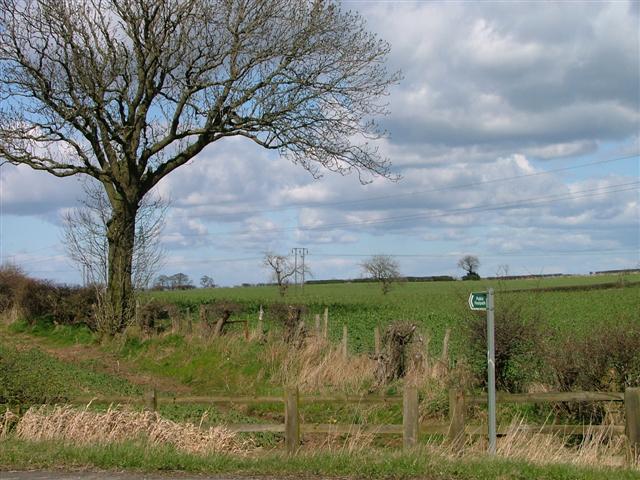
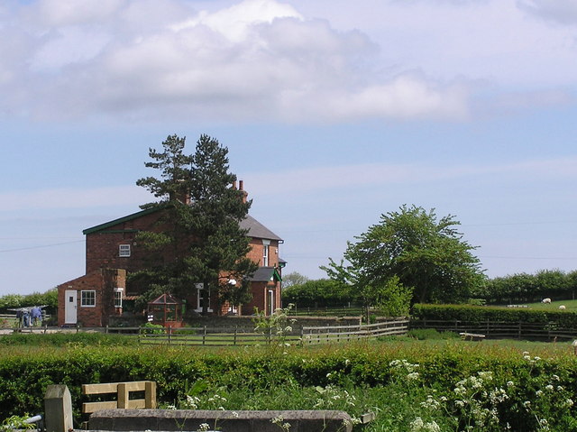
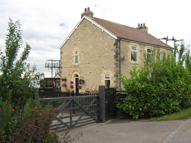
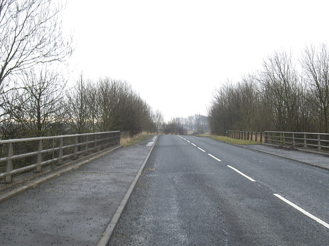
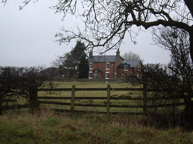
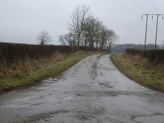
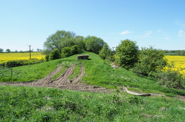
Heworth Wood Images

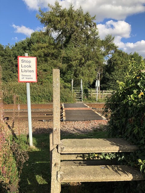
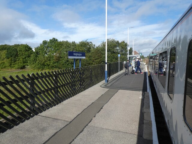
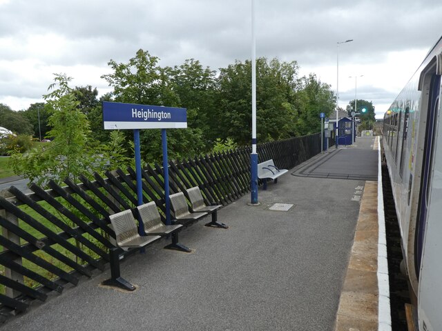
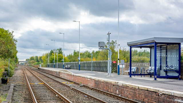
Images are sourced within 2km of 54.600739/-1.5555513 or Grid Reference NZ2822. Thanks to Geograph Open Source API. All images are credited.

Wheat field
Wheat field
Public Footpath Across The Railway
North bound platform at Heighington Railway Station
Southbound platform at Heighington
Heighington Station - North bound platform
Heworth Farm
Heworth Farm
Public Footpath to Preston West Farm Taken at its junction with Ricknall Lane.
Public Footpath to Preston West Farm
Taken at its junction with Ricknall Lane.
Whinfield  House From Green Lane.
Whinfield House
From Green Lane.
Old rail trackbed at Preston le Skerne Viewed from Peston Lane a section of the Clarence Line built for carrying coals from the County Durham Coalfield to Teesmouth docks, closed in the 1960's.
Old rail trackbed at Preston le Skerne
Viewed from Peston Lane a section of the Clarence Line built for carrying coals from the County Durham Coalfield to Teesmouth docks, closed in the 1960's.
River Skerne bridge To allow flow under the East Coast Main Line near Preston le Skerne, County Durham
River Skerne bridge
To allow flow under the East Coast Main Line near Preston le Skerne, County Durham
Public Right of Way footbridge Constructed to carry footpath diverted from an original at grade crossing of the East Coast Main Line just to the east. Crossing the River Skerne and going through a Flood Arch under the railway. Often impassable due to River level.
Public Right of Way footbridge
Constructed to carry footpath diverted from an original at grade crossing of the East Coast Main Line just to the east. Crossing the River Skerne and going through a Flood Arch under the railway. Often impassable due to River level.
Preston West Farm Preston le Skerne At the western end of Preston Lane in this County Durham hamlet
Preston West Farm Preston le Skerne
At the western end of Preston Lane in this County Durham hamlet
A1(M) north Looking from Ricknall Lane towards Preston-le-Skerne bridge.
A1(M) north
Looking from Ricknall Lane towards Preston-le-Skerne bridge.
Ricknall Lane bridge over A1(M) Over the motorway north from Darlington to Newcastle.
Ricknall Lane bridge over A1(M)
Over the motorway north from Darlington to Newcastle.
Whinfield House Seen from Lime Lane.
Whinfield House
Seen from Lime Lane.
Access to Whinfield House and Green Lane From Lime Lane.
Access to Whinfield House and Green Lane
From Lime Lane.
Gap in old railway embankment An abandoned rail route once ran along the overgrown embankment which has been cut through to allow easy access to the field at the right side of the image.
Gap in old railway embankment
An abandoned rail route once ran along the overgrown embankment which has been cut through to allow easy access to the field at the right side of the image.
Broad grassy lane near to Whinfield House The lane is a bridleway and is unusually broad. It's wide enough in fact to have been an actual public road and along the way to the west, (behind the camera position), there are places where a hard surface, tarmac perhaps, is exposed. Whinfield House is also in the image.
Broad grassy lane near to Whinfield House
The lane is a bridleway and is unusually broad. It's wide enough in fact to have been an actual public road and along the way to the west, (behind the camera position), there are places where a hard surface, tarmac perhaps, is exposed. Whinfield House is also in the image.
Show me another place!

Heworth Wood is located at Grid Ref: NZ2822 (Lat: 54.600739, Lng: -1.5555513)

Unitary Authority: County Durham

Police Authority: Durham

What 3 Words

///tolls.grabs.plan. Near Newton Aycliffe, Co. Durham

Related Wikis

Aycliffe railway station

Aycliffe railway station served the village of Aycliffe in County Durham, England. The railway station was served by trains on the East Coast Main Line...

Aycliffe Village

Aycliffe Village is a village in County Durham, in England. It is situated immediately to the south of the town of Newton Aycliffe. == History == ��3...

ROF Aycliffe

ROF Aycliffe, was a Royal Ordnance Factory built on an 867-acre (3.51 km2) site off Heighington Lane, Aycliffe, County Durham, England during the early...

Aycliffe Stadium

Aycliffe Stadium was a sports facility located in County Durham, England, on the southern edge of the Aycliffe Industrial Estate, which has Newton Aycliffe...

Nearby Amenities

Located within 500m of 54.600739,-1.5555513
Aycliffe Village
Place: village
Wikidata: Q4831050
Wikipedia: en:Aycliffe Village
Lat/Long: 54.5982856/-1.5606463
Bus Stop
Durham Road
Naptan AtcoCode: 13006846A
Naptan Bearing: N
Naptan CommonName: Durham Road
Naptan Indicator: north bound
Naptan Landmark: Outside 11 Durham rd
Naptan NaptanCode: durdtjpm
Naptan Street: Durham Road
Naptan Verified: no
Source: naptan_import
Lat/Long: 54.6008025/-1.5611432
Bus Stop
Durham Road
Naptan AtcoCode: 13006846E
Naptan Bearing: S
Naptan CommonName: Durham Road
Naptan Indicator: south bound
Naptan Landmark: opposite boundary Nos 8-9 Durham Rd
Naptan NaptanCode: durdtjpt
Naptan Street: Durham Road
Naptan Verified: no
Source: naptan_import
Lat/Long: 54.6005685/-1.5610528
Turning Circle
Lat/Long: 54.6001131/-1.5601528
Crossing
Crossing: unmarked
Crossing Island: yes
Lat/Long: 54.6002095/-1.5627686
Power: transformer
Lat/Long: 54.5986902/-1.5616467
Railway Electricity: joint
Lat/Long: 54.5982872/-1.557834
Railway Electricity: joint
Lat/Long: 54.5982716/-1.5577614
Railway: signal
Railway Signal Direction: forward
Railway Signal Main: GB-NR:main
Railway Signal Main Design: combined
Railway Signal Main Form: light
Railway Signal Main Height: normal
Railway Signal Main States: red;green;yellow;flashing_yellow;double_yellow;flashing_double_yellow
Railway Signal Operator: Network Rail
Railway Signal Position: left
Ref: T 471
Lat/Long: 54.603257/-1.5541781
Railway: signal
Railway Signal Direction: forward
Railway Signal Main: GB-NR:main
Railway Signal Main Design: combined
Railway Signal Main Form: light
Railway Signal Main Height: normal
Railway Signal Main States: red;green;yellow;flashing_yellow;double_yellow;flashing_double_yellow
Railway Signal Operator: Network Rail
Railway Signal Position: left
Railway Signal Route: GB-NR:junction
Railway Signal Route Design: feather
Railway Signal Route Form: light
Railway Signal Route States: position_4;off
Lat/Long: 54.6017728/-1.5552679
Railway: signal
Railway Signal Direction: forward
Railway Signal Main: GB-NR:main
Railway Signal Main Design: combined
Railway Signal Main Form: light
Railway Signal Main Height: normal
Railway Signal Main States: red;green
Railway Signal Operator: Network Rail
Railway Signal Position: left
Railway Signal Route: GB-NR:junction
Railway Signal Route Design: feather
Railway Signal Route Form: light
Railway Signal Route States: position_1;off
Lat/Long: 54.601793/-1.555337
Power: pole
Lat/Long: 54.5969351/-1.5566589
Power: pole
Lat/Long: 54.5972101/-1.5554318
Power: pole
Lat/Long: 54.5974711/-1.5542838
Power: pole
Lat/Long: 54.5975527/-1.5526342
Power: pole
Lat/Long: 54.5976296/-1.5511362
Power: pole
Lat/Long: 54.5976988/-1.5498823
The data included in this document is from www.openstreetmap.org. The data is made available under ODbL.

Have you been to Heworth Wood?

Leave your review of Heworth Wood below (or comments, questions and feedback).