Banks Wood

Wood, Forest in Durham

England

Banks Wood

Public Footpath Across The Railway
Public Footpath Across The Railway Credit: David Robinson

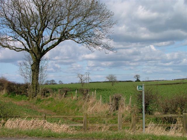
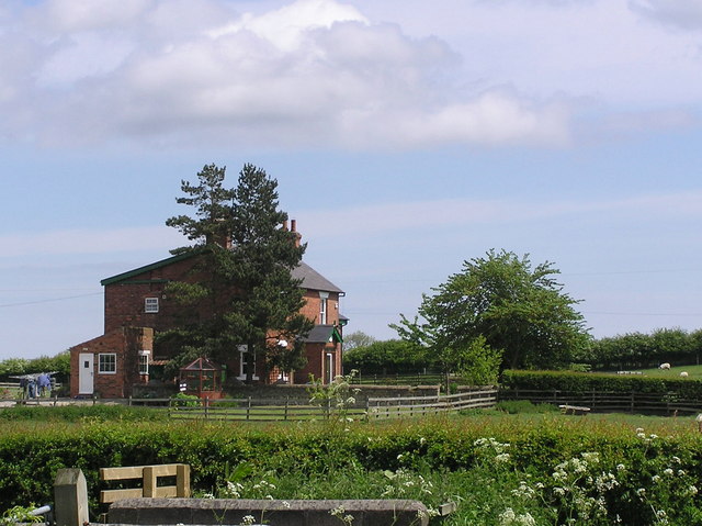
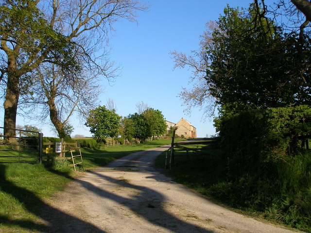
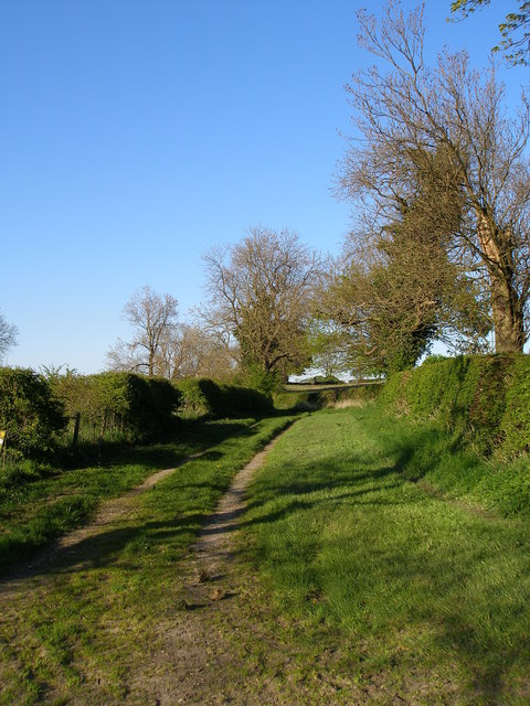
Banks Wood, located in Durham, England, is a picturesque forest area renowned for its natural beauty and tranquil atmosphere. Spanning over a vast area, the wood offers visitors a unique opportunity to immerse themselves in the wonders of nature. The wood is primarily composed of a mix of deciduous and coniferous trees, creating a diverse ecosystem that attracts a wide range of wildlife.

Walking through Banks Wood, visitors are greeted by a network of well-maintained trails that wind their way through the dense foliage. The pathways offer a chance to explore the wood's various nooks and crannies, allowing visitors to discover hidden streams, vibrant wildflowers, and ancient trees. The wood's stunning scenery changes throughout the seasons, with vibrant colors in autumn and delicate blossoms in spring.

The forest is a haven for birdwatchers, as it is home to a multitude of bird species, including woodpeckers, owls, and various songbirds. Keen observers may also spot other wildlife such as squirrels, rabbits, and even deer roaming freely in the wood.

For those seeking a peaceful retreat, Banks Wood provides several secluded picnic spots where visitors can relax and enjoy the serenity of the natural surroundings. The wood is also popular among families, who often visit to engage in outdoor activities like den building, nature walks, and wildlife spotting.

Managed by local authorities, Banks Wood strives to maintain its natural integrity while ensuring the safety and comfort of its visitors. With its wealth of natural wonders, Banks Wood remains a cherished destination for nature enthusiasts and a testament to the beauty of Durham's countryside.

If you have any feedback on the listing, please let us know in the comments section below.
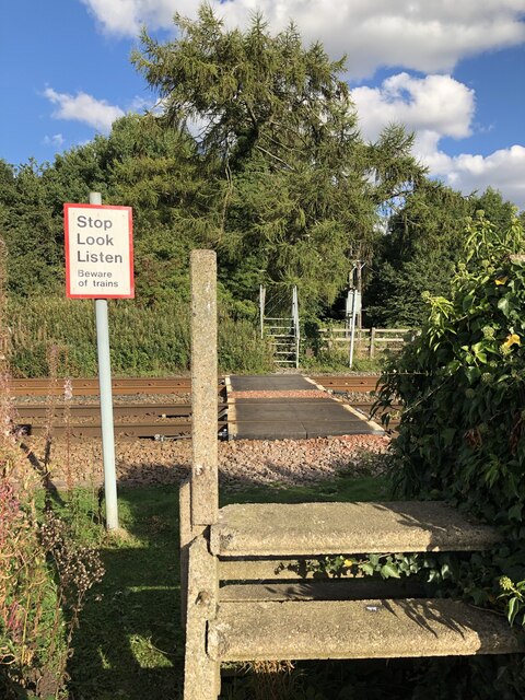
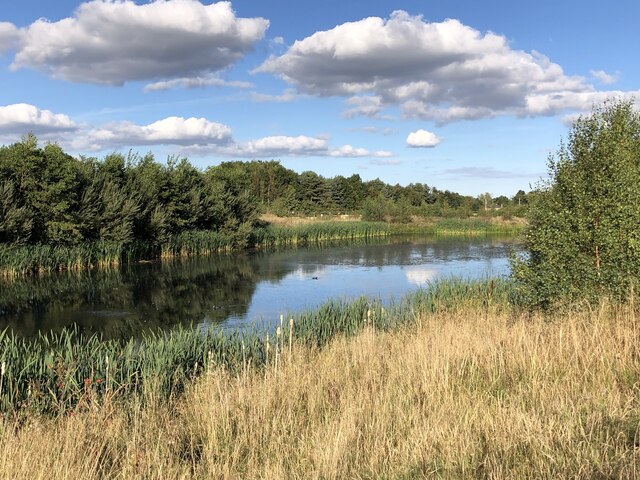
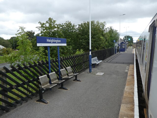
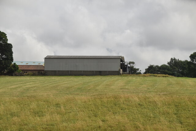
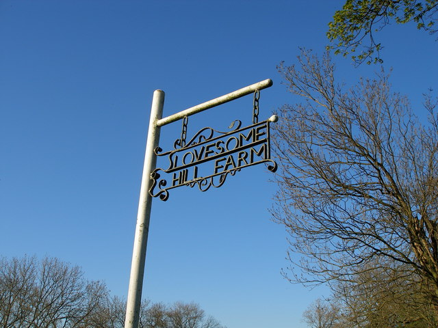
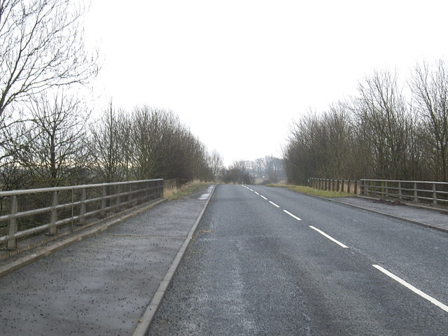
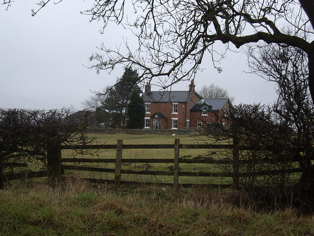
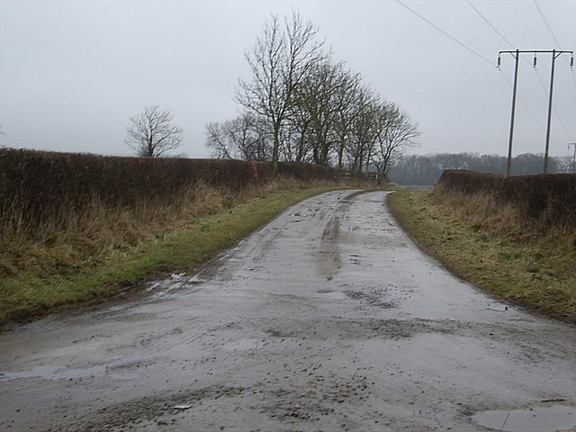
Banks Wood Images

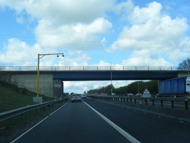
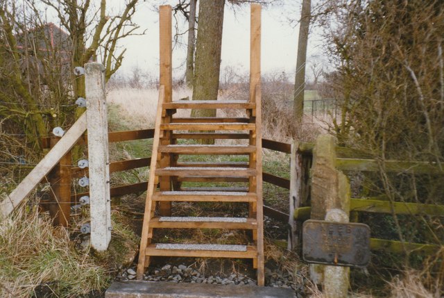
Images are sourced within 2km of 54.594449/-1.5583436 or Grid Reference NZ2822. Thanks to Geograph Open Source API. All images are credited.

Public Footpath Across The Railway
Pond Beside Hitachi Railway Vehicle Factory The pond lies between the Hitachi Factory and lane being prepared for further industrial use on the opposite bank.
Pond Beside Hitachi Railway Vehicle Factory
The pond lies between the Hitachi Factory and lane being prepared for further industrial use on the opposite bank.
North bound platform at Heighington Railway Station
Southbound platform at Heighington
Heighington Station - North bound platform
Heworth Farm
Heworth Farm
Public Footpath to Preston West Farm Taken at its junction with Ricknall Lane.
Public Footpath to Preston West Farm
Taken at its junction with Ricknall Lane.
Whinfield  House From Green Lane.
Whinfield House
From Green Lane.
Road to Lovesome Hill Farm
High House Lane from the junction with Lovesome Hill farm road
Lovesome Hill Farm sign
Ricknall Lane bridge over A1(M) Over the motorway north from Darlington to Newcastle.
Ricknall Lane bridge over A1(M)
Over the motorway north from Darlington to Newcastle.
Whinfield House Seen from Lime Lane.
Whinfield House
Seen from Lime Lane.
Access to Whinfield House and Green Lane From Lime Lane.
Access to Whinfield House and Green Lane
From Lime Lane.
Broad grassy lane near to Whinfield House The lane is a bridleway and is unusually broad. It's wide enough in fact to have been an actual public road and along the way to the west, (behind the camera position), there are places where a hard surface, tarmac perhaps, is exposed. Whinfield House is also in the image.
Broad grassy lane near to Whinfield House
The lane is a bridleway and is unusually broad. It's wide enough in fact to have been an actual public road and along the way to the west, (behind the camera position), there are places where a hard surface, tarmac perhaps, is exposed. Whinfield House is also in the image.
A1(M) passes under Ricknall Lane
Mordon : A1(M) Looking north on the A1(M).
Mordon : A1(M)
Looking north on the A1(M).
Ladder stile for Great Aycliffe Footpath No 5 to cross the Heritage Rail Line
Show me another place!

Banks Wood is located at Grid Ref: NZ2822 (Lat: 54.594449, Lng: -1.5583436)

Unitary Authority: County Durham

Police Authority: Durham

What 3 Words

///yours.frozen.honest. Near Coatham Mundeville, Co. Durham

Related Wikis

Aycliffe railway station

Aycliffe railway station served the village of Aycliffe in County Durham, England. The railway station was served by trains on the East Coast Main Line...

Aycliffe Village

Aycliffe Village is a village in County Durham, in England. It is situated immediately to the south of the town of Newton Aycliffe. == History == ��3...

Aycliffe Stadium

Aycliffe Stadium was a sports facility located in County Durham, England, on the southern edge of the Aycliffe Industrial Estate, which has Newton Aycliffe...

UTC South Durham

UTC South Durham is a University Technical College located in Newton Aycliffe, County Durham. It opened in 2016 and caters for 14–19 year olds with an...

Nearby Amenities

Located within 500m of 54.594449,-1.5583436
Aycliffe Village
Place: village
Wikidata: Q4831050
Wikipedia: en:Aycliffe Village
Lat/Long: 54.5982856/-1.5606463
Bus Stop
Royal Telegraph
Naptan AtcoCode: 13006847B
Naptan Bearing: NE
Naptan CommonName: Royal Telegraph
Naptan Indicator: north east bound
Naptan Landmark: Outside 11 Murton Cl
Naptan NaptanCode: durdtjpw
Naptan Street: West Ter
Naptan Verified: no
Source: naptan_import
Lat/Long: 54.5972575/-1.5625124
Bus Stop
Royal Telegraph
Naptan AtcoCode: 13006847F
Naptan Bearing: SW
Naptan CommonName: Royal Telegraph
Naptan Indicator: south west bound
Naptan Landmark: opposite 11 Murton Cl
Naptan NaptanCode: durdtjta
Naptan Street: West Ter
Naptan Verified: no
Source: naptan_import
Lat/Long: 54.5971582/-1.5623896
Bus Stop
North Briton
Bench: no
Bin: yes
Bus: yes
Departures Board: timetable
Naptan AtcoCode: 13006848A
Naptan Bearing: N
Naptan CommonName: North Briton
Naptan Indicator: north bound
Naptan Landmark: Between 10 & 14 High St
Naptan NaptanCode: durdtjtd
Naptan Street: A167
Public Transport: platform
Shelter: yes
Source: naptan_import
Lat/Long: 54.5960373/-1.5630672
Bus Stop
North Briton
Bus: yes
Departures Board: timetable
Naptan AtcoCode: 13006848E
Naptan Bearing: S
Naptan CommonName: North Briton
Naptan Indicator: south bound
Naptan Landmark: Outside The White House
Naptan NaptanCode: durdtjtg
Naptan Street: A167
Public Transport: platform
Shelter: yes
Source: naptan_import
Lat/Long: 54.5954194/-1.5621955
Restaurant
The County Restaurant
Addr City: Newton Aycliffe
Addr Housenumber: 13
Addr Postcode: DL5 6LX
Addr Street: The Green
Addr Village: Aycliffe Village
Cuisine: regional
Fhrs Id: 1620414
Source Addr: FHRS Open Data
Lat/Long: 54.597043/-1.5614999
Crossing
Crossing: traffic_signals
Lat/Long: 54.5965846/-1.5632053
Aycliffe
Historic Railway: station
Railway: site
Source: NPE
Wikidata: Q4831047
Wikipedia: en:Aycliffe railway station
Lat/Long: 54.5959564/-1.5588909
Railway: switch
Lat/Long: 54.5948155/-1.5592892
Waste Basket
Lat/Long: 54.5967399/-1.5648333
Barrier: stile
Lat/Long: 54.5967637/-1.5647297
Railway Electricity: joint
Lat/Long: 54.5982872/-1.557834
Railway Electricity: joint
Lat/Long: 54.5982716/-1.5577614
Railway: switch
Lat/Long: 54.5942495/-1.5593872
Railway: switch
Lat/Long: 54.593257/-1.5597762
Railway: switch
Lat/Long: 54.5940914/-1.5594366
Aycliffe War Memorial
Historic: memorial
Image: https://www.geograph.org.uk/photo/4340792
Memorial: war_memorial
Wikidata: Q26677934
Lat/Long: 54.5938936/-1.5631002
Power: pole
Lat/Long: 54.5969351/-1.5566589
Power: pole
Lat/Long: 54.5972101/-1.5554318
Power: pole
Lat/Long: 54.5974711/-1.5542838
Power: pole
Transformer: distribution
Lat/Long: 54.592152/-1.560654
Power: pole
Lat/Long: 54.5912242/-1.5610108
Power: pole
Lat/Long: 54.5915715/-1.5607439
Power: pole
Lat/Long: 54.5921636/-1.5605749
Power: pole
Lat/Long: 54.5920642/-1.558397
Location Transition: yes
Power: pole
Lat/Long: 54.5921279/-1.5598346
The data included in this document is from www.openstreetmap.org. The data is made available under ODbL.

Have you been to Banks Wood?

Leave your review of Banks Wood below (or comments, questions and feedback).