The Little Gorge Pool
Lake, Pool, Pond, Freshwater Marsh in Buteshire
Scotland
The Little Gorge Pool
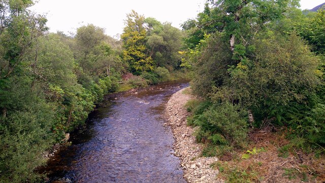
The Little Gorge Pool is a small but picturesque body of water located in Buteshire, Scotland. It is often referred to as a pool due to its size and shape, resembling a small pond or lake. The pool is nestled within a lush green landscape, surrounded by tall trees and shrubs, creating a tranquil and secluded atmosphere.
Despite its small size, the Little Gorge Pool is a popular spot for locals and tourists alike to relax and enjoy nature. The clear freshwater is perfect for swimming and fishing, with an abundance of fish species such as trout and perch inhabiting the pool.
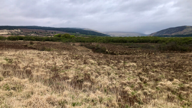
Surrounding the pool is a freshwater marsh, providing a habitat for a variety of plant and animal species. Visitors can spot a range of bird species, including herons and ducks, making it a popular spot for birdwatching.
Overall, the Little Gorge Pool is a charming natural oasis in Buteshire, offering a peaceful retreat for those looking to escape the hustle and bustle of everyday life and connect with nature.
If you have any feedback on the listing, please let us know in the comments section below.
The Little Gorge Pool Images
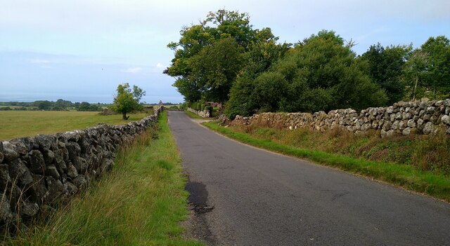
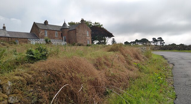
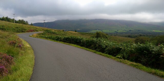
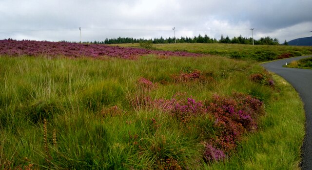
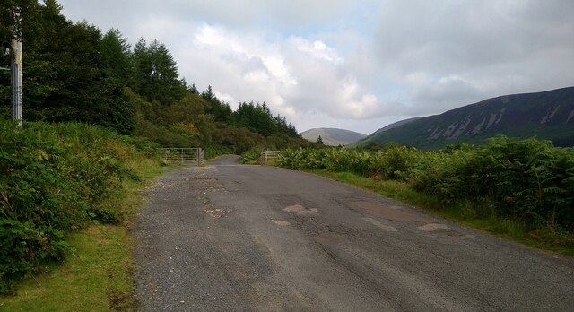
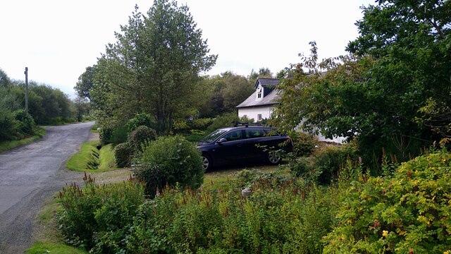
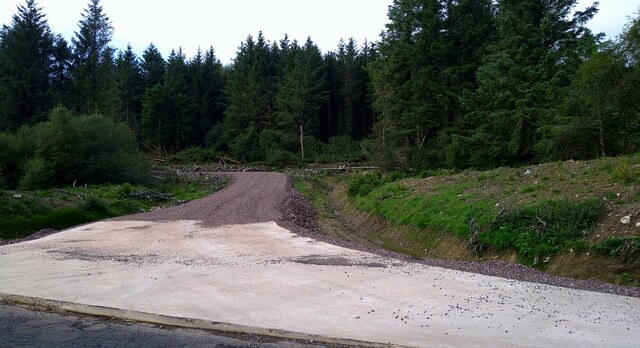
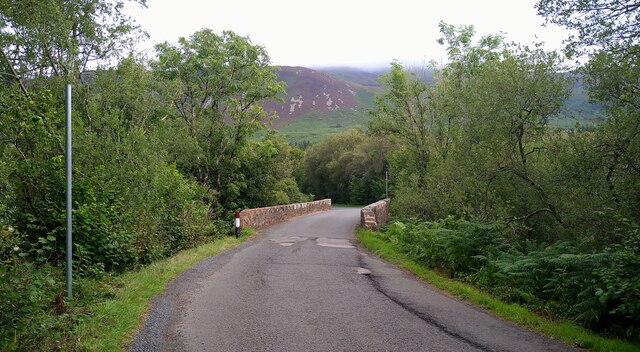
Images are sourced within 2km of 55.545408/-5.2995789 or Grid Reference NR9132. Thanks to Geograph Open Source API. All images are credited.


The Little Gorge Pool is located at Grid Ref: NR9132 (Lat: 55.545408, Lng: -5.2995789)
Unitary Authority: North Ayrshire
Police Authority: Ayrshire
What 3 Words
///scatters.winner.sectors. Near Blackwaterfoot, North Ayrshire
Nearby Locations
Related Wikis

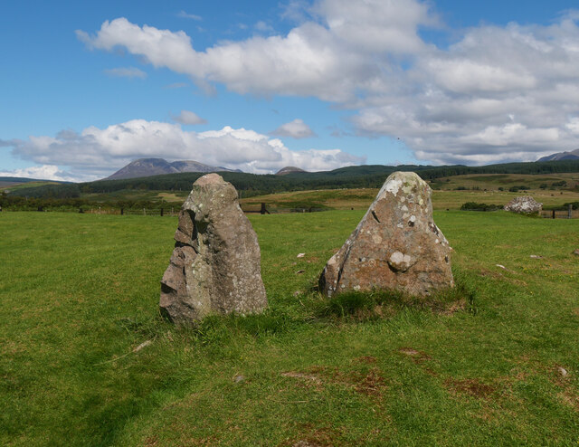
Machrie Moor Stone Circles
Machrie Moor Stone Circles is the collective name for six stone circles visible on Machrie Moor near the settlement of Machrie on the Isle of Arran, Scotland...

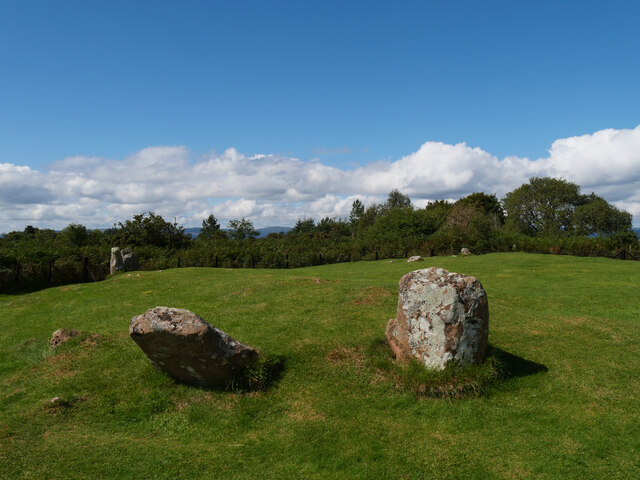
Moss Farm Road Stone Circle
Moss Farm Road Stone Circle (or Machrie Moor 10) is the remains of a Bronze Age burial cairn, surrounded by a circle of stones. It is located near Machrie...

Àrd Bheinn
Àrd Bheinn (meaning "high mountain") is a small mountain of 1678 feet on central Isle of Arran in western Scotland.
Shiskine
Shiskine (Scottish Gaelic: An t-Seasgann) is a small village on the Isle of Arran in the Firth of Clyde, Scotland. The village is within the parish of...
Nearby Amenities
Located within 500m of 55.545408,-5.2995789Have you been to The Little Gorge Pool?
Leave your review of The Little Gorge Pool below (or comments, questions and feedback).