Deep Pool
Lake, Pool, Pond, Freshwater Marsh in Buteshire
Scotland
Deep Pool
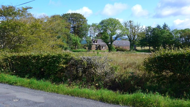
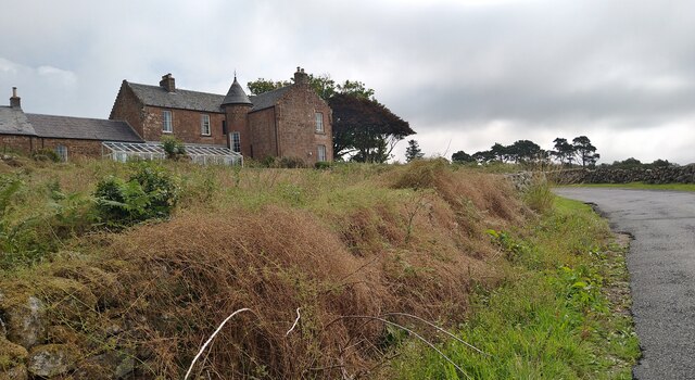
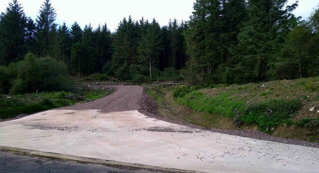
Deep Pool is a tranquil body of water located in the picturesque region of Buteshire. Nestled amidst rolling hills and lush greenery, it can be classified as a lake, pool, pond, and freshwater marsh due to its unique characteristics.
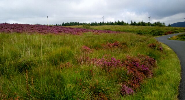
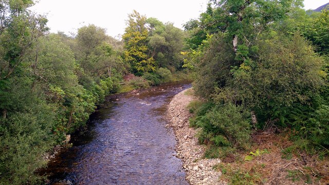
Covering an area of approximately 10 acres, Deep Pool boasts crystal-clear waters that span a depth of 15 meters at its deepest point. The pool is surrounded by dense vegetation, including reeds, sedges, and water lilies, which create a thriving ecosystem for a diverse range of flora and fauna.
The pool's freshwater marsh is a vital component of its ecosystem, providing a habitat for numerous species of birds, amphibians, and insects. Visitors to Deep Pool can often spot a variety of waterfowl, such as ducks, geese, and swans, gracefully gliding across the serene surface. The marshy areas also harbor an array of aquatic plants, including cattails and watermilfoils, which play a crucial role in maintaining the pool's ecological balance.
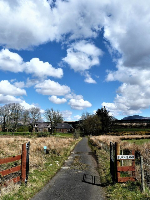
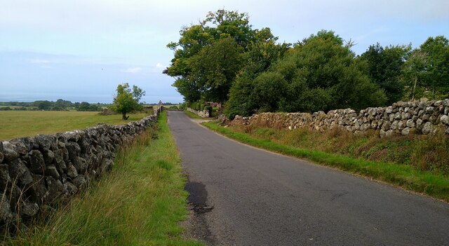
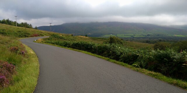
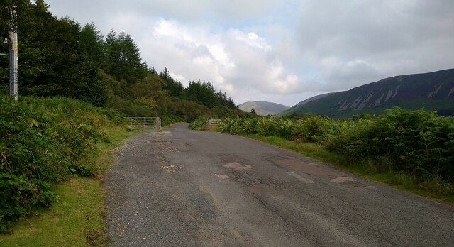
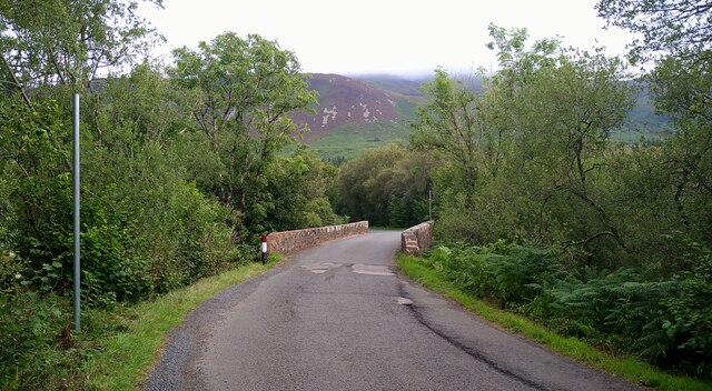
Accessible via a well-maintained trail, Deep Pool offers a picturesque setting for nature enthusiasts and photographers alike. The tranquil ambiance, coupled with the breathtaking surroundings, makes it an ideal spot for relaxation and birdwatching.
As a designated nature reserve, Deep Pool is carefully protected to ensure the preservation of its delicate ecosystem. Visitors are encouraged to respect the environment by avoiding littering and refraining from disturbing the wildlife.
Overall, Deep Pool in Buteshire is a hidden gem, offering a unique blend of lake, pool, pond, and freshwater marsh. Its serene beauty and rich biodiversity make it a must-visit destination for those seeking a peaceful retreat in nature.
If you have any feedback on the listing, please let us know in the comments section below.
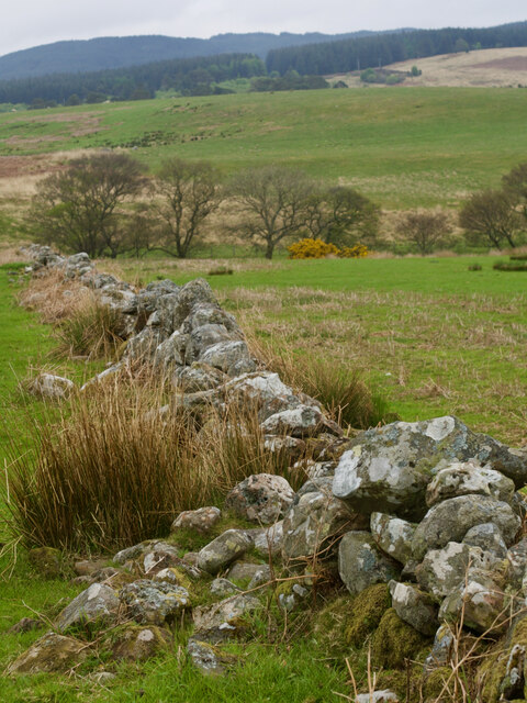
Deep Pool Images
Images are sourced within 2km of 55.544196/-5.3045356 or Grid Reference NR9132. Thanks to Geograph Open Source API. All images are credited.

Deep Pool is located at Grid Ref: NR9132 (Lat: 55.544196, Lng: -5.3045356)
Unitary Authority: North Ayrshire
Police Authority: Ayrshire
What 3 Words
///schematic.trade.spice. Near Blackwaterfoot, North Ayrshire
Nearby Locations
Related Wikis

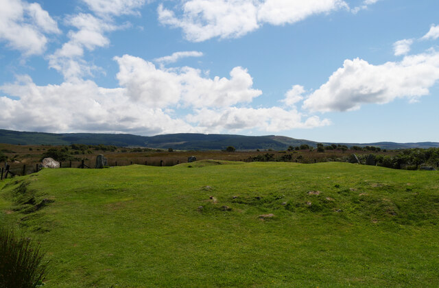
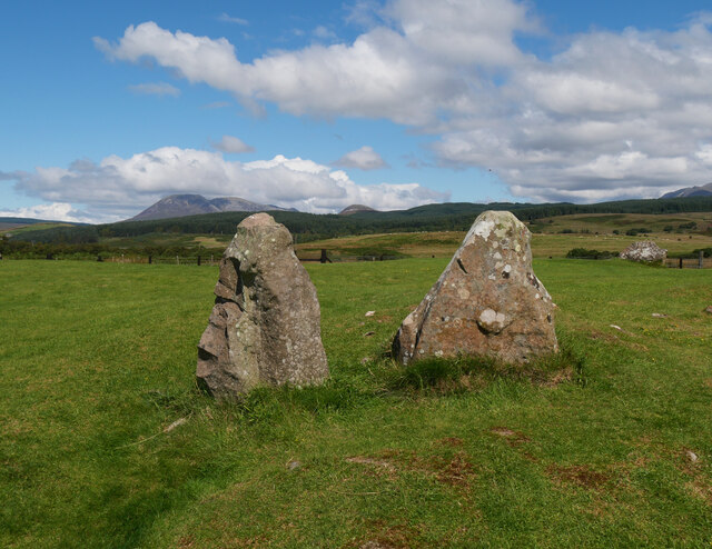
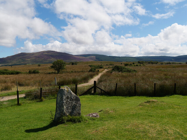
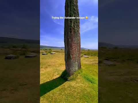
Machrie Moor Stone Circles
Machrie Moor Stone Circles is the collective name for six stone circles visible on Machrie Moor near the settlement of Machrie on the Isle of Arran, Scotland...

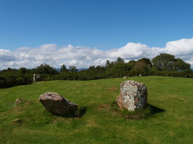
Moss Farm Road Stone Circle
Moss Farm Road Stone Circle (or Machrie Moor 10) is the remains of a Bronze Age burial cairn, surrounded by a circle of stones. It is located near Machrie...
Shiskine
Shiskine (Scottish Gaelic: An t-Seasgann) is a small village on the Isle of Arran in the Firth of Clyde, Scotland. The village is within the parish of...

Àrd Bheinn
Àrd Bheinn (meaning "high mountain") is a small mountain of 1678 feet on central Isle of Arran in western Scotland.

Auchagallon Stone Circle
Auchagallon Stone Circle or Auchengallon cairn is the remains of a Neolithic or Bronze Age burial cairn, surrounded by a circle of fifteen stones. It is...

Machrie
Machrie (Scottish Gaelic: Am Machaire) is a village on the Isle of Arran in the Firth of Clyde, Scotland. Machrie Bay can be found on the West Coast. The...

Torbeg
Torbeg (Scottish Gaelic: An Tòrr Beag) is a village on the Isle of Arran in the Firth of Clyde, Scotland. == References ==
Arran Coastal Way
The Arran Coastal Way is a 107 kilometre long-distance trail that goes around the coastline of Arran in Scotland. As the route is circular, following...
Related Videos

eBiking Arran up the String to Machrie Moor stone circles & Lochranza - day 2 bikepacking Scotland
Day 2 of my month long cycle tour started with the short trip from Glen Rosa back into Brodick to get a substantial breakfast ...
Rosa Lodge at Balmichael Glamping
Rosa Lodge is our grand safari tent which sleeps up to 8 people in two sleeping areas (mezzanine level accessed via lift ladder).

Arran Whisky and Water and Standing Stones - (Scotland)
Arran Whisky and Water and Standing Stones - (Scotland) Lochranza Perhaps the most attractive of Arran's villages, Lochranza is ...
Nearby Amenities
Located within 500m of 55.544196,-5.3045356Have you been to Deep Pool?
Leave your review of Deep Pool below (or comments, questions and feedback).