Ladymary Pool
Lake, Pool, Pond, Freshwater Marsh in Buteshire
Scotland
Ladymary Pool
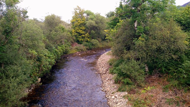
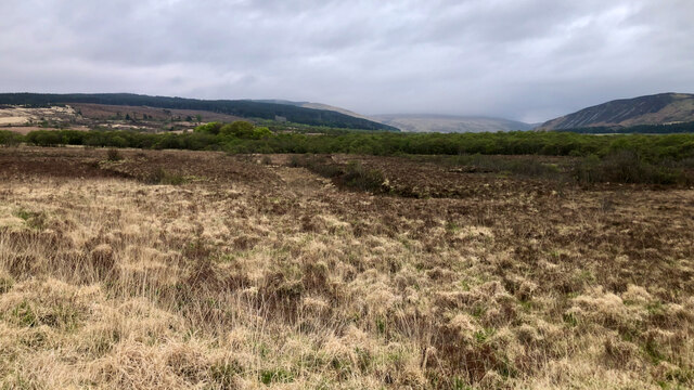
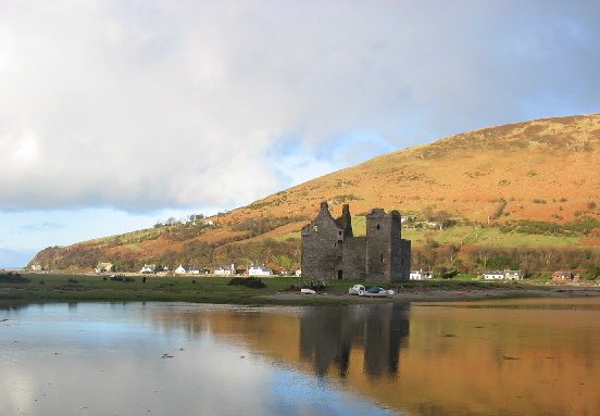
Ladymary Pool is a picturesque freshwater marsh located in Buteshire, Scotland. Covering an area of approximately 20 acres, it is a serene oasis that attracts both locals and tourists alike. The pool is positioned in a secluded area, surrounded by lush greenery and rolling hills, creating a tranquil and peaceful atmosphere.
The water in Ladymary Pool is crystal clear and teeming with various species of aquatic plants and wildlife. The pool serves as a habitat for numerous species of fish, including brown trout and perch. It is also a nesting ground for various waterfowl, such as mallards and coots, making it a popular spot for birdwatchers.
Surrounding the pool is a diverse range of vegetation, including reeds, rushes, and water lilies. This creates a vibrant and colorful landscape, especially during the summer months when the flowers are in full bloom. The marshy terrain provides an ideal environment for a variety of amphibians, such as frogs and newts.
Visitors to Ladymary Pool can enjoy a tranquil walk along the designated footpaths that wind through the marsh. The paths offer stunning views of the pool and its surroundings, allowing visitors to immerse themselves in the natural beauty of the area. Additionally, there are several benches strategically placed along the paths, providing opportunities for visitors to pause and take in the serene surroundings.
In conclusion, Ladymary Pool is a remarkable freshwater marsh in Buteshire, offering a peaceful and idyllic setting for nature enthusiasts. With its diverse range of wildlife, vibrant vegetation, and scenic views, it is a must-visit destination for anyone seeking a tranquil escape into nature.
If you have any feedback on the listing, please let us know in the comments section below.
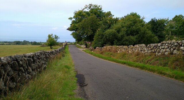
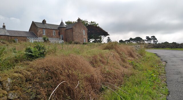
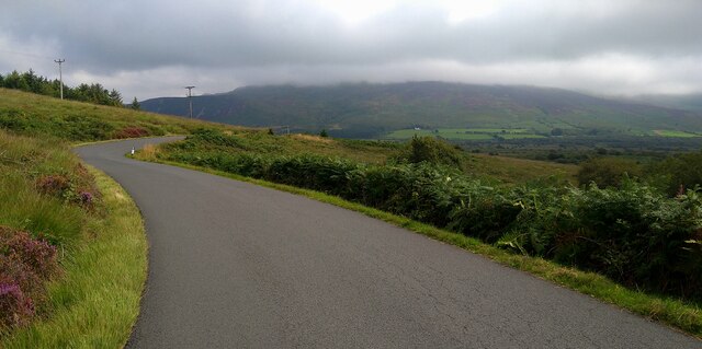
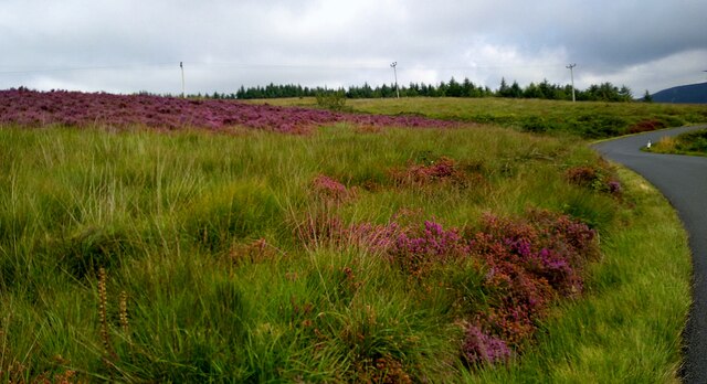
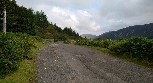
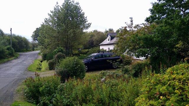
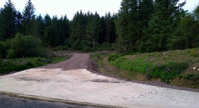
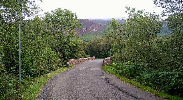
Ladymary Pool Images
Images are sourced within 2km of 55.543807/-5.3036308 or Grid Reference NR9132. Thanks to Geograph Open Source API. All images are credited.


Ladymary Pool is located at Grid Ref: NR9132 (Lat: 55.543807, Lng: -5.3036308)
Unitary Authority: North Ayrshire
Police Authority: Ayrshire
What 3 Words
///dawn.profited.coarser. Near Blackwaterfoot, North Ayrshire
Nearby Locations
Related Wikis

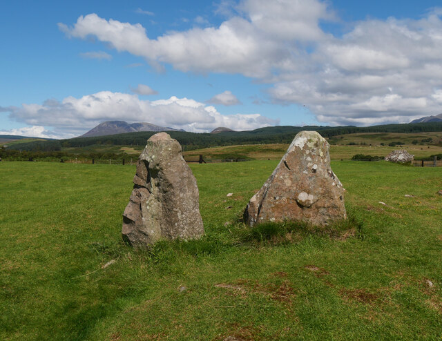
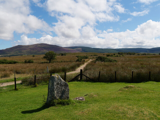
Machrie Moor Stone Circles
Machrie Moor Stone Circles is the collective name for six stone circles visible on Machrie Moor near the settlement of Machrie on the Isle of Arran, Scotland...

Moss Farm Road Stone Circle
Moss Farm Road Stone Circle (or Machrie Moor 10) is the remains of a Bronze Age burial cairn, surrounded by a circle of stones. It is located near Machrie...
Shiskine
Shiskine (Scottish Gaelic: An t-Seasgann) is a small village on the Isle of Arran in the Firth of Clyde, Scotland. The village is within the parish of...

Àrd Bheinn
Àrd Bheinn (meaning "high mountain") is a small mountain of 1678 feet on central Isle of Arran in western Scotland.

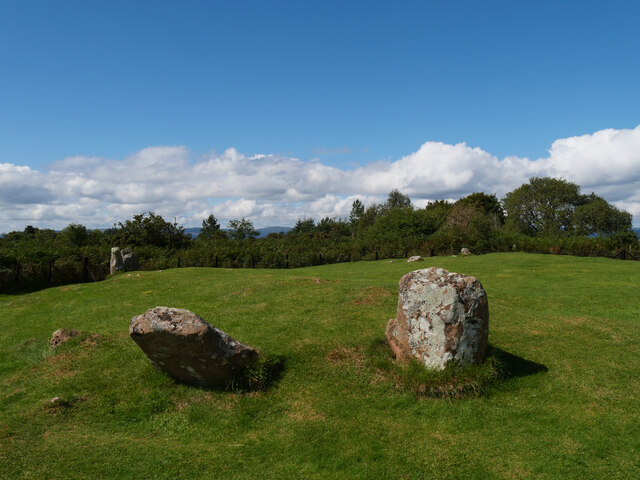
Auchagallon Stone Circle
Auchagallon Stone Circle or Auchengallon cairn is the remains of a Neolithic or Bronze Age burial cairn, surrounded by a circle of fifteen stones. It is...

Machrie
Machrie (Scottish Gaelic: Am Machaire) is a village on the Isle of Arran in the Firth of Clyde, Scotland. Machrie Bay can be found on the West Coast. The...

Torbeg
Torbeg (Scottish Gaelic: An Tòrr Beag) is a village on the Isle of Arran in the Firth of Clyde, Scotland. == References ==
Arran Coastal Way
The Arran Coastal Way is a 107 kilometre long-distance trail that goes around the coastline of Arran in Scotland. As the route is circular, following...
Nearby Amenities
Located within 500m of 55.543807,-5.3036308Have you been to Ladymary Pool?
Leave your review of Ladymary Pool below (or comments, questions and feedback).