Ashtree Pool

Lake, Pool, Pond, Freshwater Marsh in Buteshire

Scotland

Ashtree Pool

Crochandoon - Isle of Arran Crocnandoon
Crochandoon - Isle of Arran Credit: Raibeart MacAoidh

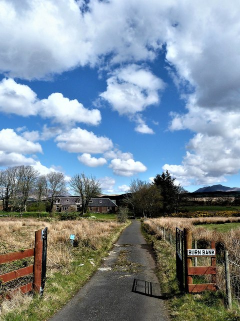
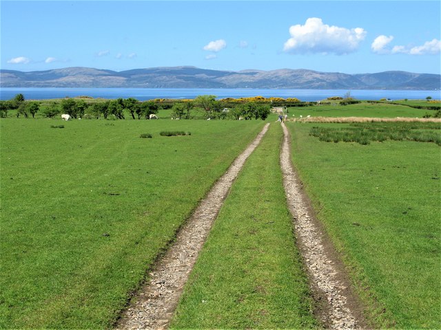
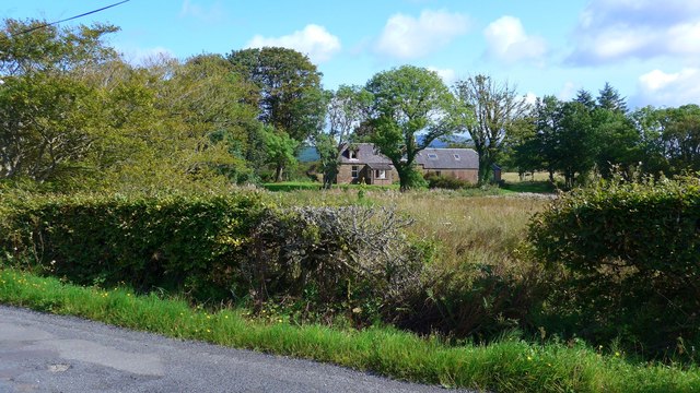
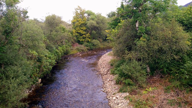
Ashtree Pool is a small freshwater lake located in the county of Buteshire, Scotland. It is a popular spot for fishing, birdwatching, and nature enthusiasts due to its serene and picturesque surroundings. The pool covers an area of approximately 5 acres and has a maximum depth of 10 feet.

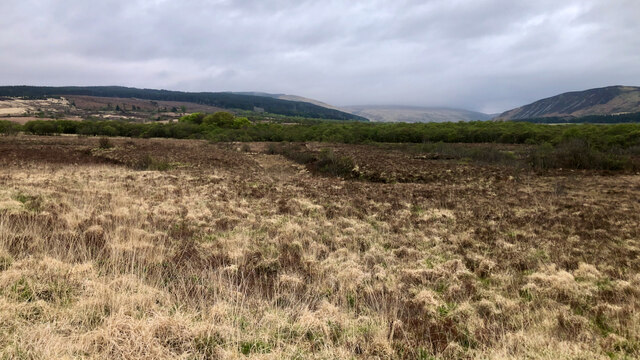
Surrounded by lush greenery and trees, Ashtree Pool is home to a variety of wildlife, including ducks, swans, and other waterfowl. The tranquil waters of the pool provide a peaceful setting for visitors to relax and enjoy the beauty of the natural landscape.

The pool is also a popular destination for anglers, with a variety of fish species such as perch, roach, and carp found in its waters. Fishing permits are required to fish in Ashtree Pool, and the area is regularly monitored to ensure the sustainability of the fish population.

Overall, Ashtree Pool is a charming and tranquil location that offers visitors a chance to connect with nature and enjoy the peaceful surroundings of the Scottish countryside.

If you have any feedback on the listing, please let us know in the comments section below.
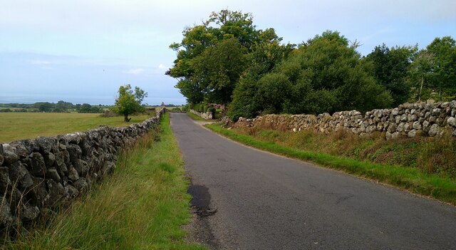
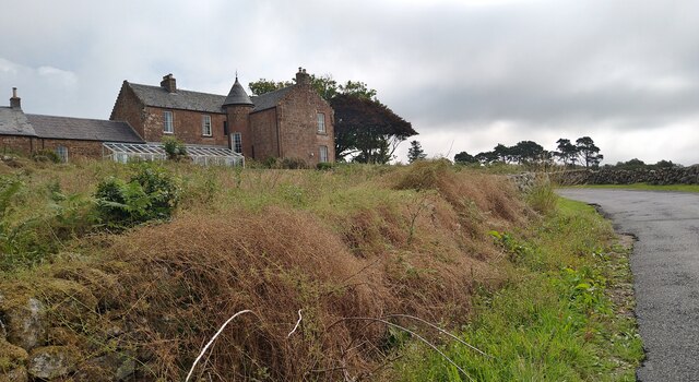
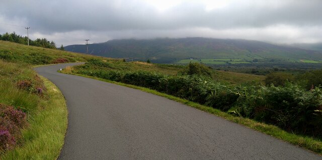
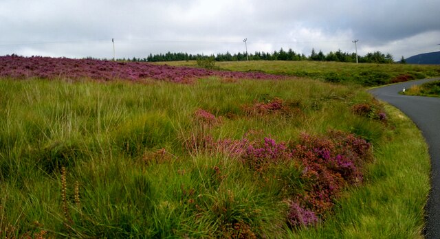
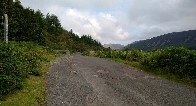
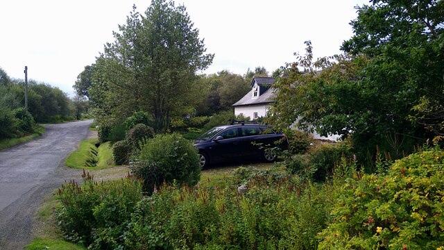
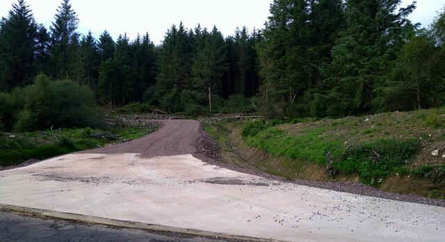
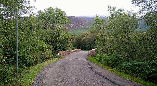
Ashtree Pool Images

Images are sourced within 2km of 55.54465/-5.3083477 or Grid Reference NR9132. Thanks to Geograph Open Source API. All images are credited.

Crochandoon - Isle of Arran Crocnandoon
Crochandoon - Isle of Arran
Crocnandoon
Burnbank Farm - Isle of Arran Burnbank Farm
Burnbank Farm - Isle of Arran
Burnbank Farm
Start of the track to the Machrie Moor Stone Circles, Arran The track leaves the northern end of a small car park and heads towards one of the most interesting attractions on the island of Arran.
Start of the track to the Machrie Moor Stone Circles, Arran
The track leaves the northern end of a small car park and heads towards one of the most interesting attractions on the island of Arran.
Track to the Machrie Moor Stone Circles, Arran Looking back down the track with the Kilbrannan Sound and the Kintyre Peninsula in the distance.
Track to the Machrie Moor Stone Circles, Arran
Looking back down the track with the Kilbrannan Sound and the Kintyre Peninsula in the distance.
Building at Burnbank Near Tormore, Arran.
Building at Burnbank
Near Tormore, Arran.
Looking up the Machrie Water
Old Milestone by the A841, Kilmory Parish, Arran Arran by the A841, in parish of Kilmory (Arran District), 400m South of car park for Machrie Moor Stone Circles, on verge by gateway to Arnloss.

Inscription reads:-
29
(To Brodick Old Quay)

Surveyed

Milestone Society National ID: AYN_ARR29.
Old Milestone by the A841, Kilmory Parish, Arran
Arran by the A841, in parish of Kilmory (Arran District), 400m South of car park for Machrie Moor Stone Circles, on verge by gateway to Arnloss. Inscription reads:- 29 (To Brodick Old Quay) Surveyed Milestone Society National ID: AYN_ARR29.
Old milestone This 29 mile stone is thickly covered in lichens with the blsck number barely showing.  It is 400m south of the car park for Machrie Moor Stone Circles by the gateway to Arnloss.
Old milestone
This 29 mile stone is thickly covered in lichens with the blsck number barely showing. It is 400m south of the car park for Machrie Moor Stone Circles by the gateway to Arnloss.
The Machrie Moor road at Machrie Farm
The superb House of Machrie For many years the House of Machrie was the farmhouse for the principal farm on the island.  It is now available for self-catering rental.
The superb House of Machrie
For many years the House of Machrie was the farmhouse for the principal farm on the island. It is now available for self-catering rental.
The Machrie Moor road The mist and low cloud has never quite cleared the tops, although lower down it is sunny and about 24 degrees.
The Machrie Moor road
The mist and low cloud has never quite cleared the tops, although lower down it is sunny and about 24 degrees.
Heather in bloom by the Machrie Moor road
Cattle grid on the Machrie Moor road
Gate Cottage on the Machrie Moor road
New forestry track off the Machrie Moor road
Glaister Bridge on the Machrie Moor road This carries the moor road over the Machrie Water.
Glaister Bridge on the Machrie Moor road
This carries the moor road over the Machrie Water.
The Machrie Water at Glaister Bridge
Sliabh nan Carraigean 'Moor of the standing stones' — <span class="nowrap"><a title="https://books.google.co.uk/books?id=tYOoDwAAQBAJ&lpg=PA347&ots=-VwadTxSSw&dq=Sliabh%20nan%20Carraigean&pg=PA347#v=onepage&q=Sliabh%20nan%20Carraigean&f=false" rel="nofollow ugc noopener" href="https://books.google.co.uk/books?id=tYOoDwAAQBAJ&lpg=PA347&ots=-VwadTxSSw&dq=Sliabh%20nan%20Carraigean&pg=PA347#v=onepage&q=Sliabh%20nan%20Carraigean&f=false">Link</a><img style="margin-left:2px;" alt="External link" title="External link - shift click to open in new window" src="https://s1.geograph.org.uk/img/external.png" width="10" height="10"/></span>

Evidence of peat cutting can be seen — <span class="nowrap"><a title="https://canmore.org.uk/site/184112/arran-sliabh-nan-carraigean" rel="nofollow ugc noopener" href="https://canmore.org.uk/site/184112/arran-sliabh-nan-carraigean">Link</a><img style="margin-left:2px;" alt="External link" title="External link - shift click to open in new window" src="https://s1.geograph.org.uk/img/external.png" width="10" height="10"/></span>

‌
Sliabh nan Carraigean
'Moor of the standing stones' — LinkExternal link Evidence of peat cutting can be seen — LinkExternal link
Show me another place!

Ashtree Pool is located at Grid Ref: NR9132 (Lat: 55.54465, Lng: -5.3083477)

Unitary Authority: North Ayrshire

Police Authority: Ayrshire

What 3 Words

///leaky.interests.choppy. Near Blackwaterfoot, North Ayrshire

Related Wikis

Machrie Moor Stone Circles

Machrie Moor Stone Circles is the collective name for six stone circles visible on Machrie Moor near the settlement of Machrie on the Isle of Arran, Scotland...

Moss Farm Road Stone Circle

Moss Farm Road Stone Circle (or Machrie Moor 10) is the remains of a Bronze Age burial cairn, surrounded by a circle of stones. It is located near Machrie...

Auchagallon Stone Circle

Auchagallon Stone Circle or Auchengallon cairn is the remains of a Neolithic or Bronze Age burial cairn, surrounded by a circle of fifteen stones. It is...

Machrie

Machrie (Scottish Gaelic: Am Machaire) is a village on the Isle of Arran in the Firth of Clyde, Scotland. Machrie Bay can be found on the West Coast. The...

Nearby Amenities

Located within 500m of 55.54465,-5.3083477
Machrie Moor Stone Circle 2
Archaeological Site: megalith
Historic: archaeological_site
Historic Civilization: prehistoric
Historic Era: neolithic
Historic Period: stone_age
Megalith Type: stone_circle
Lat/Long: 55.5406772/-5.3119322
Ashtree Pool
Place: locality
Source: OD Streetview
Lat/Long: 55.5451188/-5.3080929
Birchtree Pool
Place: locality
Source: OD Streetview
Lat/Long: 55.5450399/-5.3058839
Ladymary Pool
Place: locality
Source: OD Streetview
Lat/Long: 55.544178/-5.3034581
Machrie Moor Stone Circle 1
Archaeological Site: megalith
Historic: archaeological_site
Historic Civilization: prehistoric
Historic Era: neolithic
Historic Period: stone_age
Megalith Type: stone_circle
Lat/Long: 55.5404868/-5.3108749
Machrie Moor Stone Circle 11
Archaeological Site: megalith
Historic: archaeological_site
Historic Civilization: prehistoric
Historic Era: neolithic
Historic Period: stone_age
Megalith Type: stone_circle
Lat/Long: 55.5407383/-5.310641
The data included in this document is from www.openstreetmap.org. The data is made available under ODbL.

Have you been to Ashtree Pool?

Leave your review of Ashtree Pool below (or comments, questions and feedback).