Birchtree Pool
Lake, Pool, Pond, Freshwater Marsh in Buteshire
Scotland
Birchtree Pool
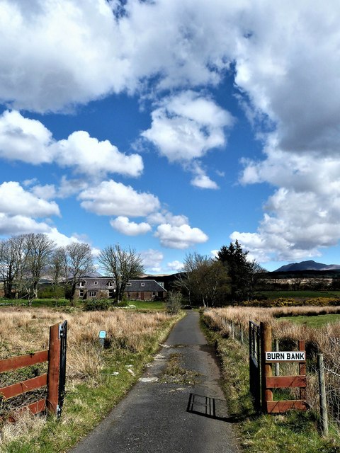
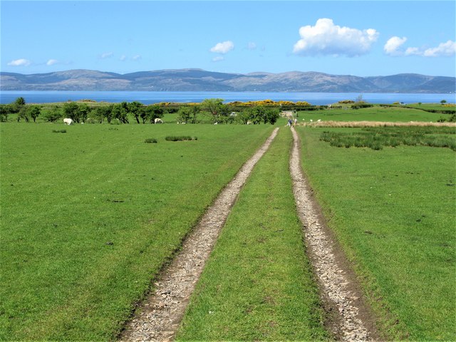
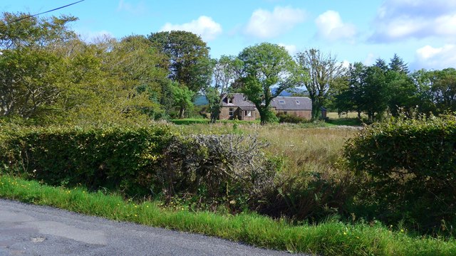
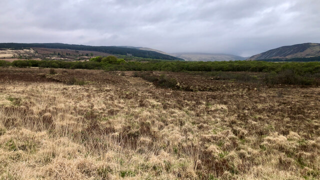
Birchtree Pool is a picturesque freshwater marsh located in the scenic region of Buteshire, Scotland. Spread over an area of approximately 50 acres, this stunning natural feature offers a diverse ecosystem that supports a wide variety of flora and fauna.
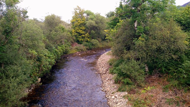
The pool itself is a shallow body of water, with an average depth of around 3 feet. It is fed by several small streams and springs, ensuring a constant flow of freshwater throughout the year. The water in Birchtree Pool is crystal clear and is renowned for its purity.
Surrounding the pool is a lush vegetation of reeds, rushes, and various aquatic plants, creating a vibrant and thriving habitat for numerous species of birds, insects, and amphibians. Birdwatchers flock to Birchtree Pool to observe the diverse birdlife, which includes species such as ducks, geese, herons, and various songbirds.
The pool is also home to a variety of fish, such as perch, pike, and roach, making it a popular spot for anglers. Fishing enthusiasts can be seen lining the banks, patiently waiting for a nibble from the abundant fish population.
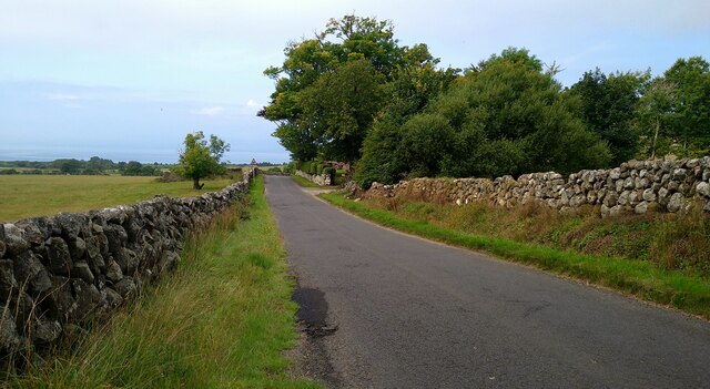
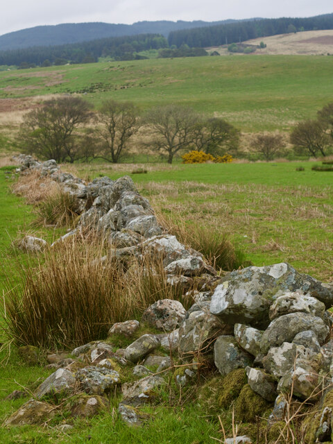
The natural beauty of Birchtree Pool is further enhanced by the presence of a small wooded area nearby, providing a picturesque backdrop of mature birch and oak trees. This tranquil setting offers visitors a peaceful and idyllic environment to relax and enjoy the serene surroundings.
In conclusion, Birchtree Pool in Buteshire is a stunning freshwater marsh that offers a rich and diverse ecosystem. From its clear waters to the vibrant vegetation and abundant wildlife, it is a haven for nature lovers and a must-visit destination for those seeking solace in the beauty of the natural world.
If you have any feedback on the listing, please let us know in the comments section below.
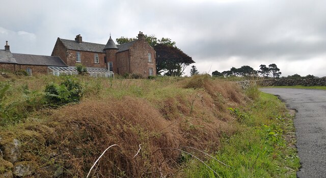
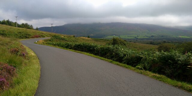
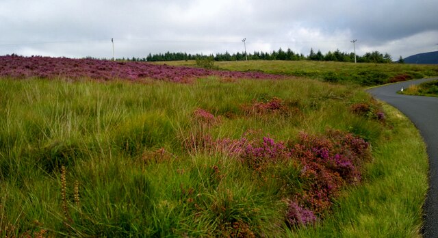
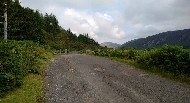
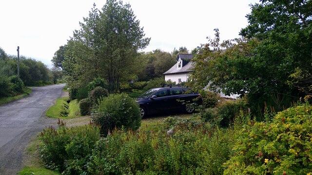
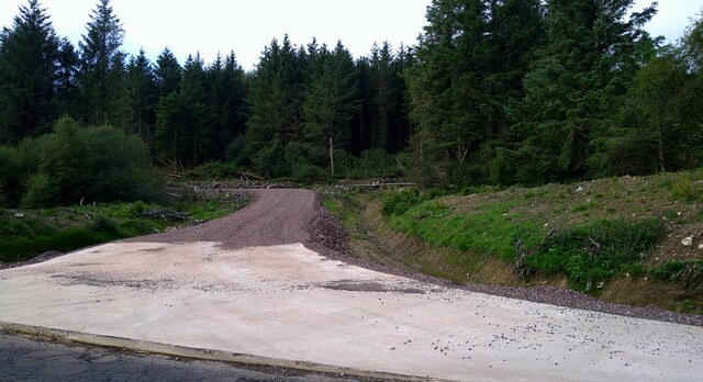
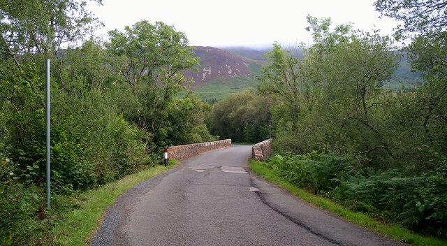
Birchtree Pool Images
Images are sourced within 2km of 55.544714/-5.3053402 or Grid Reference NR9132. Thanks to Geograph Open Source API. All images are credited.
Birchtree Pool is located at Grid Ref: NR9132 (Lat: 55.544714, Lng: -5.3053402)
Unitary Authority: North Ayrshire
Police Authority: Ayrshire
What 3 Words
///welcome.flatten.puddings. Near Blackwaterfoot, North Ayrshire
Nearby Locations
Related Wikis

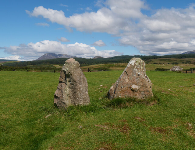
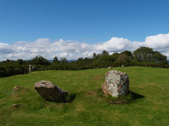
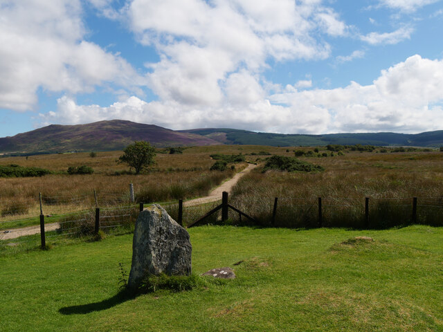
Machrie Moor Stone Circles
Machrie Moor Stone Circles is the collective name for six stone circles visible on Machrie Moor near the settlement of Machrie on the Isle of Arran, Scotland...

Moss Farm Road Stone Circle
Moss Farm Road Stone Circle (or Machrie Moor 10) is the remains of a Bronze Age burial cairn, surrounded by a circle of stones. It is located near Machrie...

Auchagallon Stone Circle
Auchagallon Stone Circle or Auchengallon cairn is the remains of a Neolithic or Bronze Age burial cairn, surrounded by a circle of fifteen stones. It is...

Machrie
Machrie (Scottish Gaelic: Am Machaire) is a village on the Isle of Arran in the Firth of Clyde, Scotland. Machrie Bay can be found on the West Coast. The...
Shiskine
Shiskine (Scottish Gaelic: An t-Seasgann) is a small village on the Isle of Arran in the Firth of Clyde, Scotland. The village is within the parish of...

Àrd Bheinn
Àrd Bheinn (meaning "high mountain") is a small mountain of 1678 feet on central Isle of Arran in western Scotland.

Torbeg
Torbeg (Scottish Gaelic: An Tòrr Beag) is a village on the Isle of Arran in the Firth of Clyde, Scotland. == References ==
Arran Coastal Way
The Arran Coastal Way is a 107 kilometre long-distance trail that goes around the coastline of Arran in Scotland. As the route is circular, following...
Nearby Amenities
Located within 500m of 55.544714,-5.3053402Have you been to Birchtree Pool?
Leave your review of Birchtree Pool below (or comments, questions and feedback).