Gayton
Settlement in Northamptonshire
England
Gayton
Gayton is a village located in the county of Northamptonshire, England. Situated about 7 miles northwest of the town of Northampton, Gayton is a picturesque village that is known for its tranquil surroundings and charming countryside views.
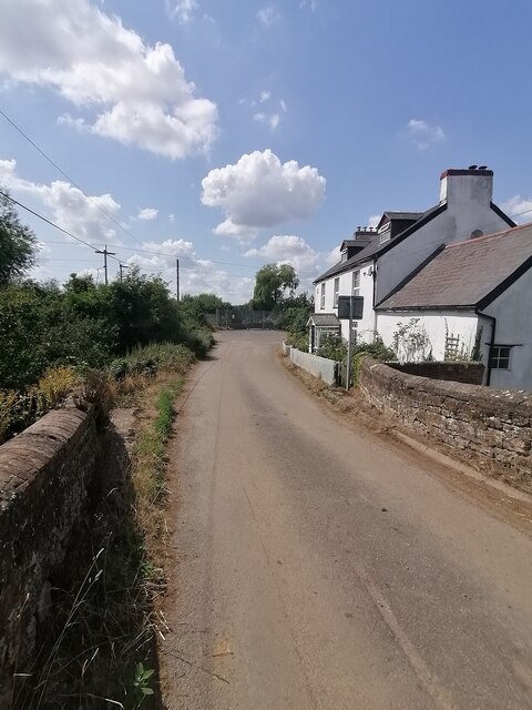
The village is predominantly residential, with a population of around 1,400 residents. The architecture of Gayton is a blend of traditional and modern houses, with some properties dating back several centuries. It retains much of its historical charm, with a number of listed buildings and a traditional village green at its heart.
Gayton offers a range of amenities and services to its residents. The village boasts a primary school, a post office, a village hall, and a church, providing a close-knit community atmosphere. Additionally, there are a few local businesses, including a village shop and a pub, catering to the needs of the residents.
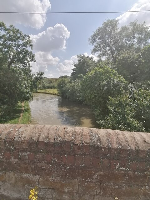
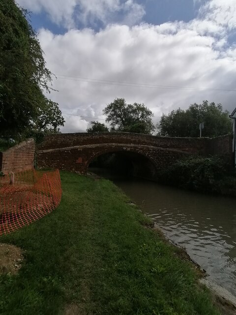
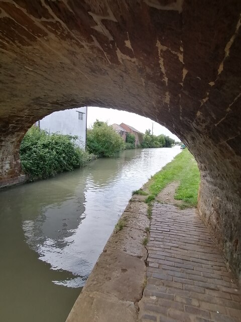
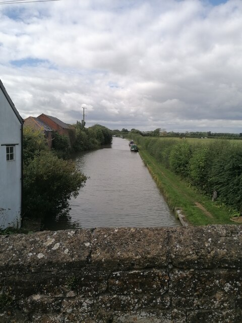
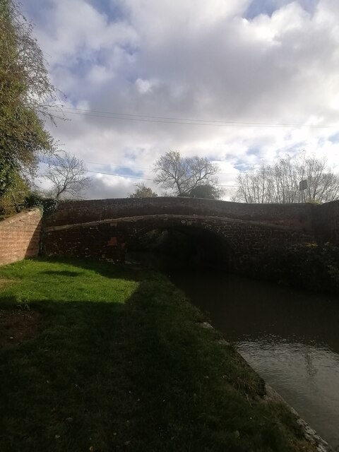
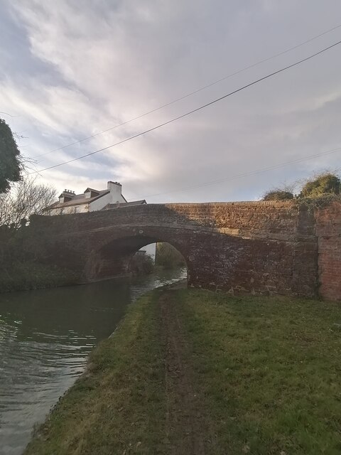
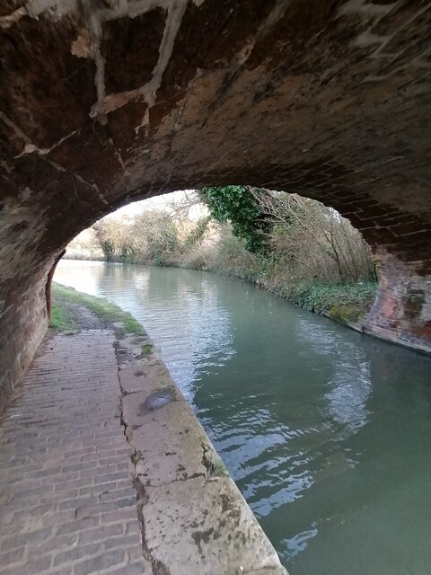
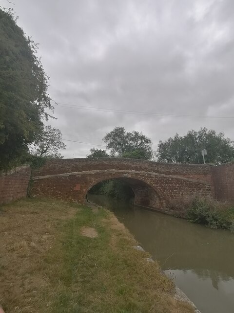
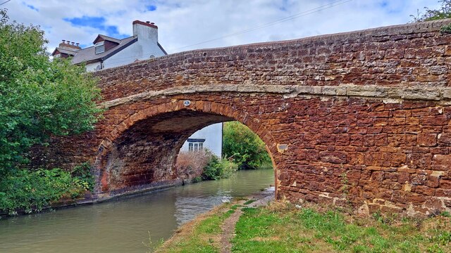
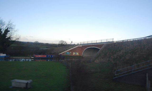
Surrounded by rolling hills and beautiful countryside, Gayton provides ample opportunities for outdoor activities. The village is located near the Grand Union Canal, offering scenic walks and cycling routes for nature enthusiasts. There are also several nearby parks and nature reserves, such as Salcey Forest, which is a popular destination for hiking and wildlife spotting.
Overall, Gayton is a charming and peaceful village, offering a tranquil lifestyle for its residents while still providing easy access to nearby towns and cities.
If you have any feedback on the listing, please let us know in the comments section below.
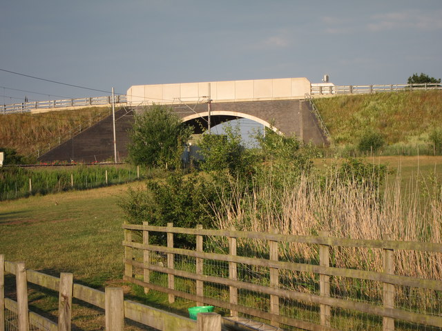
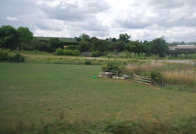
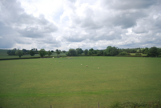
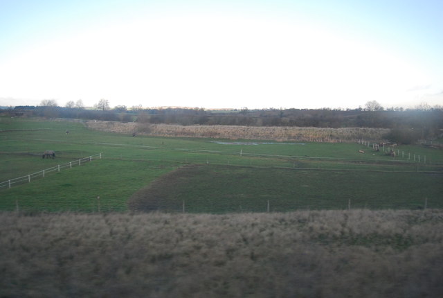
Gayton Images
Images are sourced within 2km of 52.184578/-0.96844834 or Grid Reference SP7054. Thanks to Geograph Open Source API. All images are credited.

Gayton is located at Grid Ref: SP7054 (Lat: 52.184578, Lng: -0.96844834)
Unitary Authority: West Northamptonshire
Police Authority: Northamptonshire
What 3 Words
///liability.harshest.cling. Near Blisworth, Northamptonshire
Nearby Locations
Related Wikis
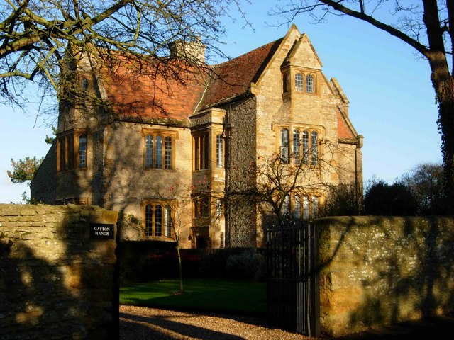
Gayton Manor House
Gayton Manor House is a manor house in Gayton, England. It is a Grade I listed building in West Northamptonshire. The manor is mentioned in the reign of...
Gayton, Northamptonshire
Gayton is a rural village and civil parish in West Northamptonshire, England, 5 miles (8 km) south-west of Northampton town centre. The village is situated...
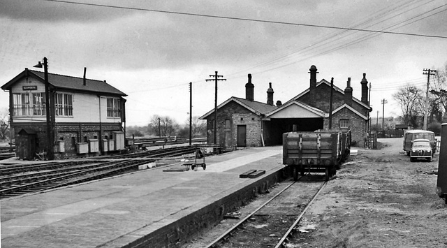
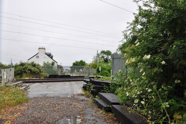
Blisworth railway station
Blisworth railway station was a junction station on the London and North Western Railway (today, the West Coast Main Line), the Northampton and Banbury...
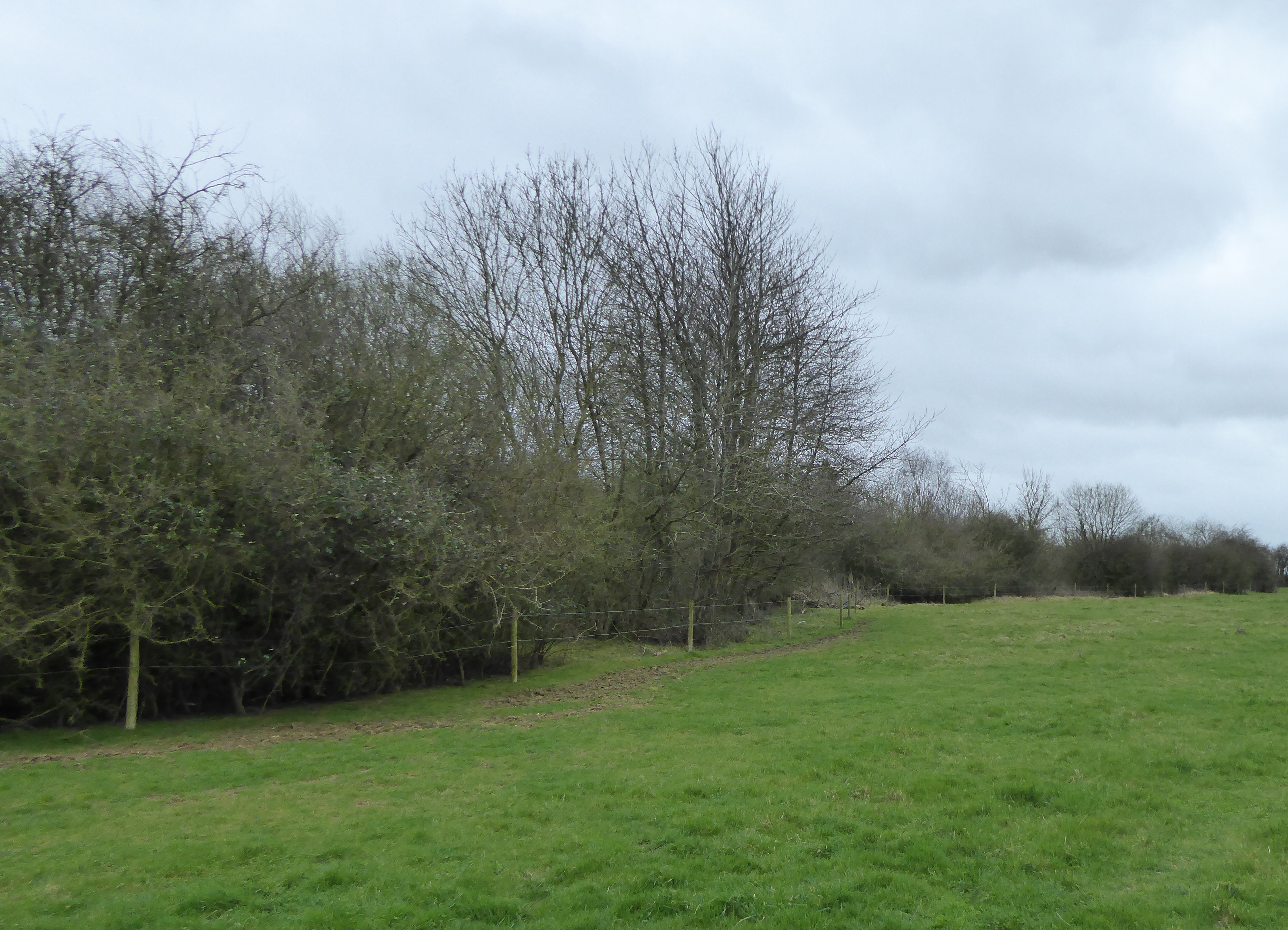
Blisworth Rectory Farm Quarry
Blisworth Rectory Farm Quarry is a 1.0-hectare (2.5-acre) geological Site of Special Scientific Interest west of Blisworth in Northamptonshire. It is a...
Nearby Amenities
Located within 500m of 52.184578,-0.96844834Have you been to Gayton?
Leave your review of Gayton below (or comments, questions and feedback).