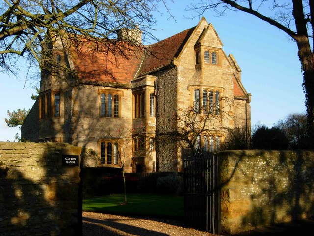
Manor House
Heritage Site in Northamptonshire
England
Manor House
Manor House, located in Northamptonshire, is a historic heritage site that showcases the rich history and architectural beauty of the region. This well-preserved manor dates back to the 16th century and stands as a testament to the grandeur and elegance of the Elizabethan era.
The Manor House features a stunning Tudor-style façade with intricate brickwork and a symmetrical design. The interior of the house boasts an impressive collection of period furnishings, artwork, and artifacts, providing visitors with a glimpse into the daily life and opulence of the past.
One of the highlights of Manor House is its beautiful gardens, which have been meticulously maintained over the centuries. The gardens are adorned with vibrant flowers, neatly trimmed hedges, and serene water features, creating a tranquil and picturesque atmosphere. The well-manicured lawns offer a perfect spot for visitors to relax and enjoy the stunning views.
Guided tours are available for visitors, providing in-depth information about the history and significance of the site. The knowledgeable guides share fascinating anecdotes and stories, allowing visitors to fully immerse themselves in the grandeur of the manor's past.
Additionally, Manor House hosts various cultural events and exhibitions throughout the year, including art displays, music concerts, and theatrical performances, further enriching the visitor experience.
Overall, Manor House in Northamptonshire is a captivating heritage site that offers a unique opportunity to explore the history, architecture, and natural beauty of the region. Whether you are a history enthusiast or simply appreciate the elegance of the past, Manor House is a must-visit destination.
If you have any feedback on the listing, please let us know in the comments section below.
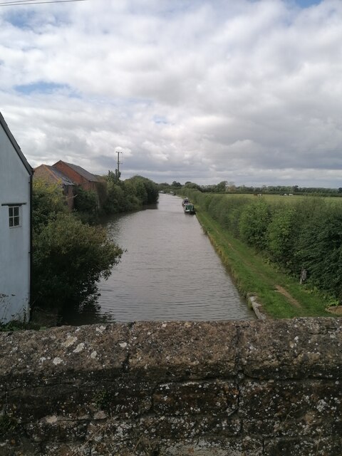
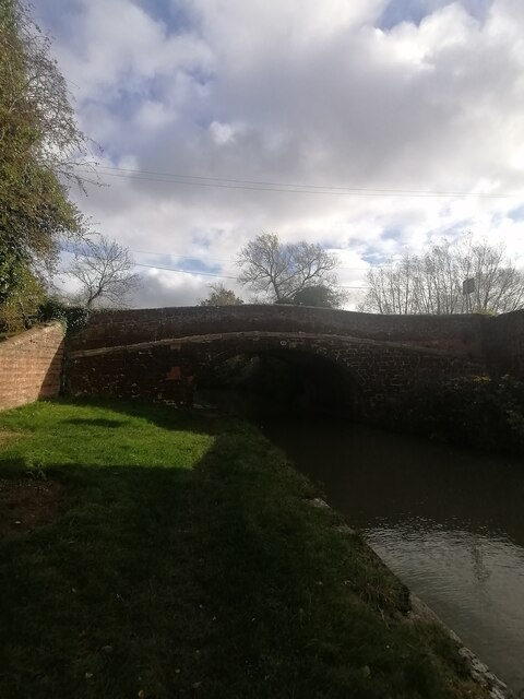
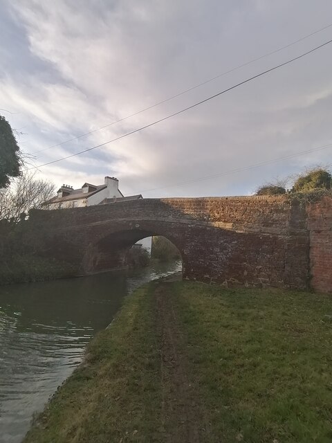
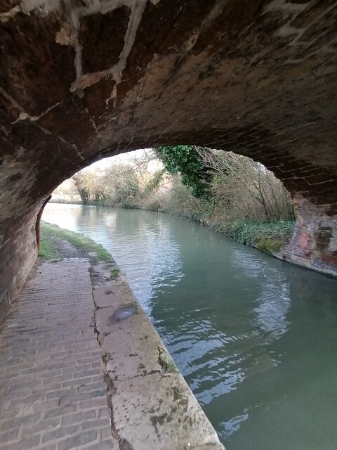
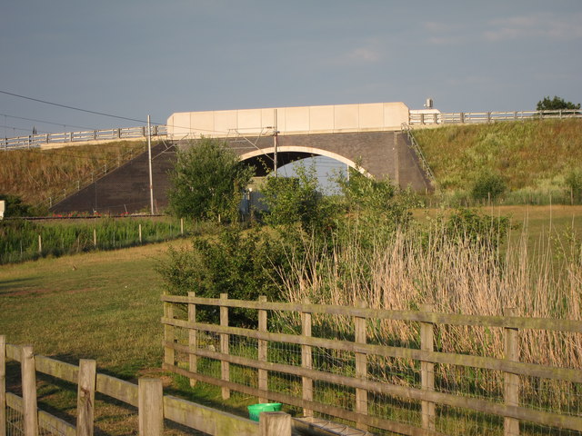
Manor House Images
Images are sourced within 2km of 52.183/-0.968 or Grid Reference SP7054. Thanks to Geograph Open Source API. All images are credited.
Manor House is located at Grid Ref: SP7054 (Lat: 52.183, Lng: -0.968)
Unitary Authority: West Northamptonshire
Police Authority: Northamptonshire
What 3 Words
///mainland.imprints.pulses. Near Blisworth, Northamptonshire
Nearby Locations
Related Wikis
Gayton, Northamptonshire
Gayton is a rural village and civil parish in West Northamptonshire, England, 5 miles (8 km) south-west of Northampton town centre. The village is situated...
Gayton Manor House
Gayton Manor House is a manor house in Gayton, England. It is a Grade I listed building in West Northamptonshire. The manor is mentioned in the reign of...
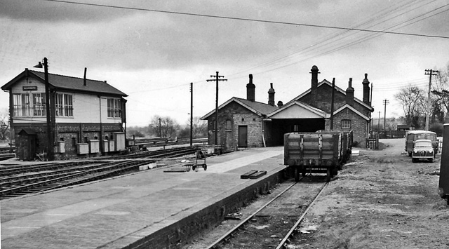
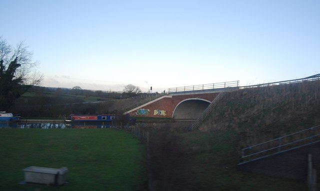
Blisworth railway station
Blisworth railway station was a junction station on the London and North Western Railway (today, the West Coast Main Line), the Northampton and Banbury...
Blisworth Rectory Farm Quarry
Blisworth Rectory Farm Quarry is a 1.0-hectare (2.5-acre) geological Site of Special Scientific Interest west of Blisworth in Northamptonshire. It is a...

Blisworth Limestone Formation
The Blisworth Limestone Formation is a geological formation primarily consisting of limestone deposited during the Bathonian stage of the Middle Jurassic...
Dalscote
Dalscote is a small village in West Northamptonshire, England. It is north of Towcester and between Gayton and Eastcote. There is a car-body repair workshop...

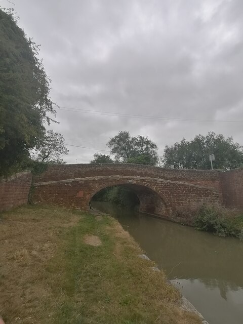
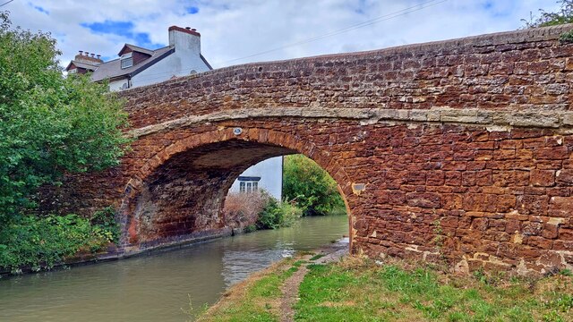
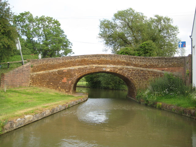
Blisworth Arch
The Blisworth Arch or is a railway bridge in Blisworth, Northamptonshire, in eastern England. It was designed by Robert Stephenson for the London and Birmingham...

Tiffield Pocket Park
Tiffield Pocket Park is a 2.6 hectare Local Nature Reserve north of Tiffield in West Northamptonshire. It is leased by a private owner to Tiffield Parish...
Nearby Amenities
Located within 500m of 52.183,-0.968Have you been to Manor House?
Leave your review of Manor House below (or comments, questions and feedback).