Gayton
Civil Parish in Northamptonshire
England
Gayton
Gayton is a civil parish located in the county of Northamptonshire, England. Situated approximately 7 miles northwest of the town of Northampton, it covers an area of around 5 square miles. The parish is part of the West Northamptonshire unitary authority.
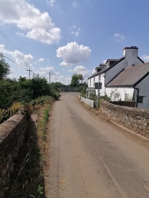
The village of Gayton itself is the main settlement within the civil parish. It is a small and picturesque village with a population of around 1,000 residents. The village is known for its charming rural character, featuring a mix of traditional stone cottages, modern houses, and a few historic buildings.
One of the notable landmarks in Gayton is the Church of St. Mary the Virgin, a medieval church dating back to the 14th century. The church's architecture reflects the village's rich history and is a popular attraction for visitors.
The local community in Gayton is vibrant and close-knit, with several social and recreational activities organized throughout the year. The village has a primary school, a village hall, and a few local shops and amenities to cater to the needs of its residents.
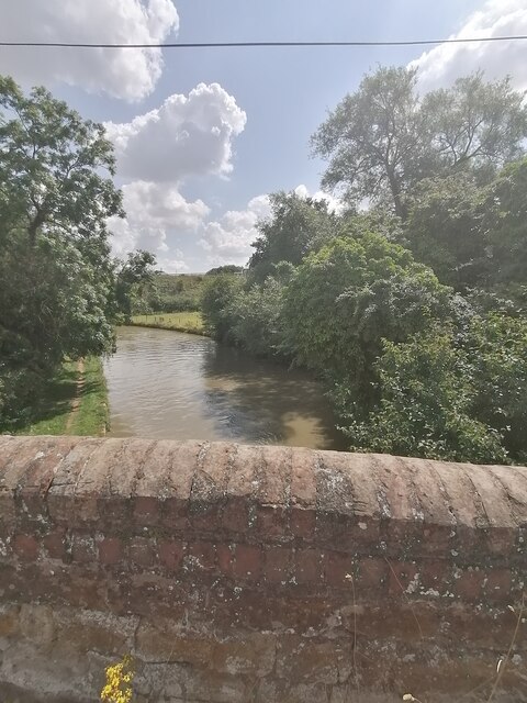
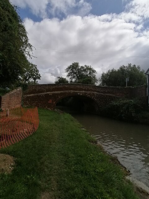
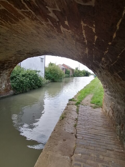
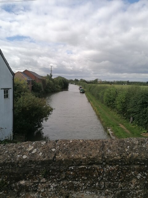
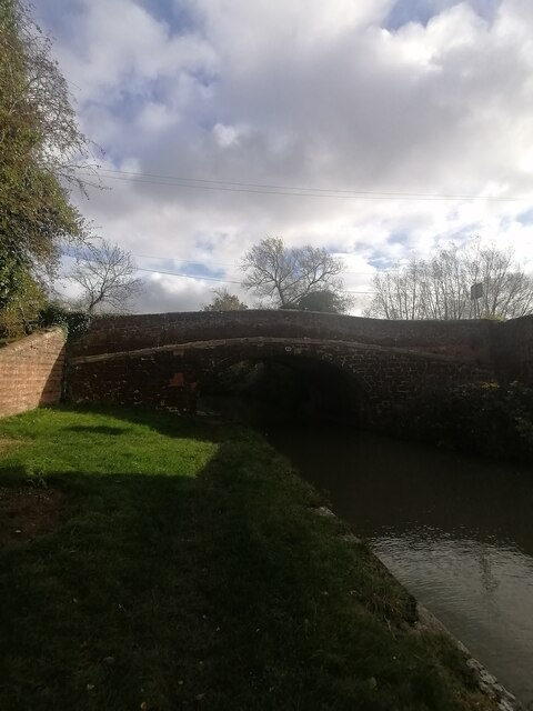
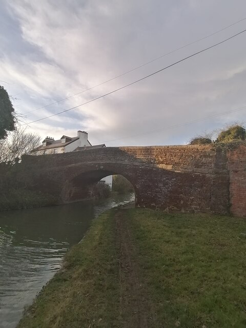
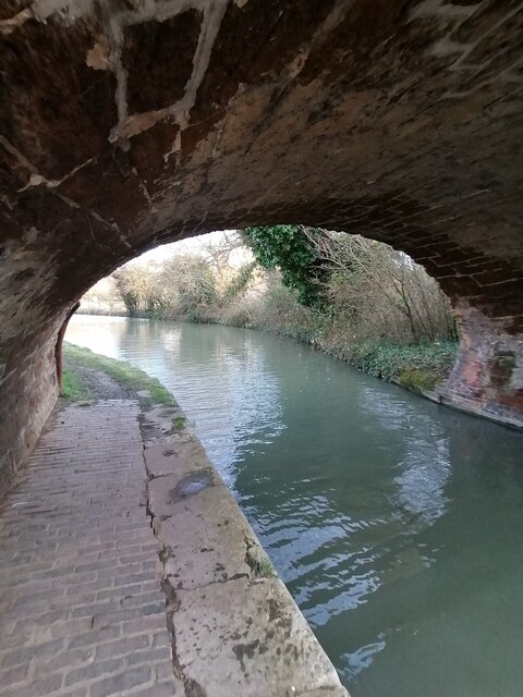
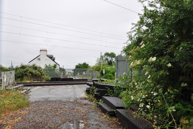
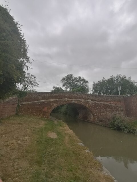
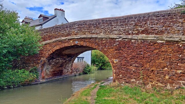
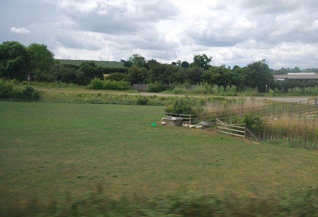
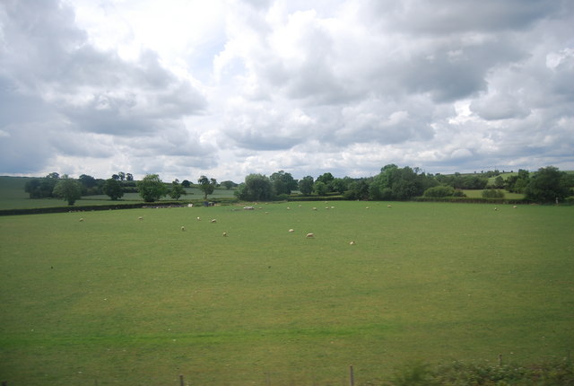
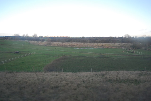
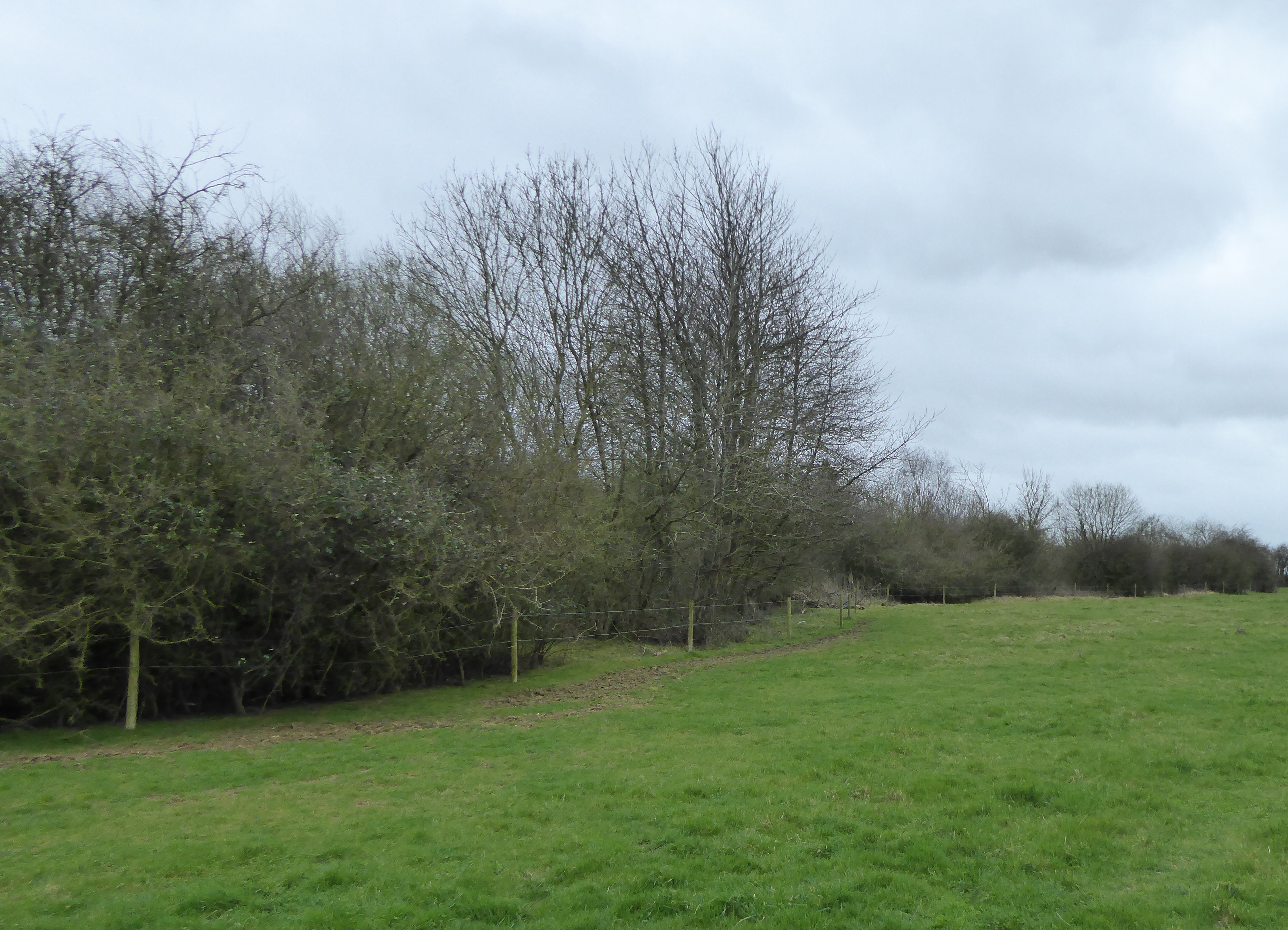
The surrounding countryside of Gayton offers beautiful landscapes for outdoor enthusiasts, with numerous walking and cycling trails. The nearby Grand Union Canal provides additional opportunities for leisure activities such as boating and fishing.
Overall, Gayton is a quaint and peaceful village in Northamptonshire, with a strong sense of community and a rich history that is cherished by its residents.
If you have any feedback on the listing, please let us know in the comments section below.
Gayton Images
Images are sourced within 2km of 52.184893/-0.970729 or Grid Reference SP7054. Thanks to Geograph Open Source API. All images are credited.


Gayton is located at Grid Ref: SP7054 (Lat: 52.184893, Lng: -0.970729)
Unitary Authority: West Northamptonshire
Police Authority: Northamptonshire
What 3 Words
///competing.regret.raven. Near Blisworth, Northamptonshire
Nearby Locations
Related Wikis
Gayton, Northamptonshire
Gayton is a rural village and civil parish in West Northamptonshire, England, 5 miles (8 km) south-west of Northampton town centre. The village is situated...
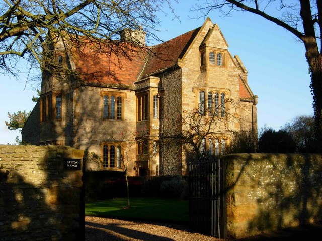
Gayton Manor House
Gayton Manor House is a manor house in Gayton, England. It is a Grade I listed building in West Northamptonshire. The manor is mentioned in the reign of...
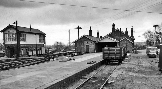
Blisworth railway station
Blisworth railway station was a junction station on the London and North Western Railway (today, the West Coast Main Line), the Northampton and Banbury...
Blisworth Rectory Farm Quarry
Blisworth Rectory Farm Quarry is a 1.0-hectare (2.5-acre) geological Site of Special Scientific Interest west of Blisworth in Northamptonshire. It is a...

Blisworth Limestone Formation
The Blisworth Limestone Formation is a geological formation primarily consisting of limestone deposited during the Bathonian stage of the Middle Jurassic...
Dalscote
Dalscote is a small village in West Northamptonshire, England. It is north of Towcester and between Gayton and Eastcote. There is a car-body repair workshop...

Rothersthorpe
Rothersthorpe is a small village of medieval origin, in West Northamptonshire, England, with a population of 500 in the 2001 Census, reducing to 472 at...

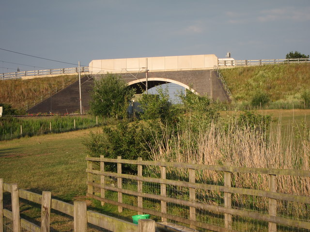
Blisworth Arch
The Blisworth Arch or is a railway bridge in Blisworth, Northamptonshire, in eastern England. It was designed by Robert Stephenson for the London and Birmingham...
Nearby Amenities
Located within 500m of 52.184893,-0.970729Have you been to Gayton?
Leave your review of Gayton below (or comments, questions and feedback).