Gayton
Settlement in Norfolk King's Lynn and West Norfolk
England
Gayton
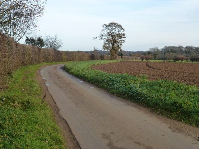
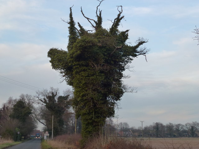
Gayton is a charming village located in the county of Norfolk, England. Situated approximately 8 miles northwest of the city of King's Lynn, Gayton offers a peaceful and idyllic setting for its residents. The village is surrounded by beautiful countryside, with rolling fields and picturesque landscapes.
Gayton has a rich history that dates back to medieval times, and this is evident in its architecture and landmarks. The centerpiece of the village is the stunning St. Nicholas Church, a Grade I listed building that dates back to the 14th century. This magnificent church features an impressive tower, intricate stained glass windows, and a peaceful churchyard.
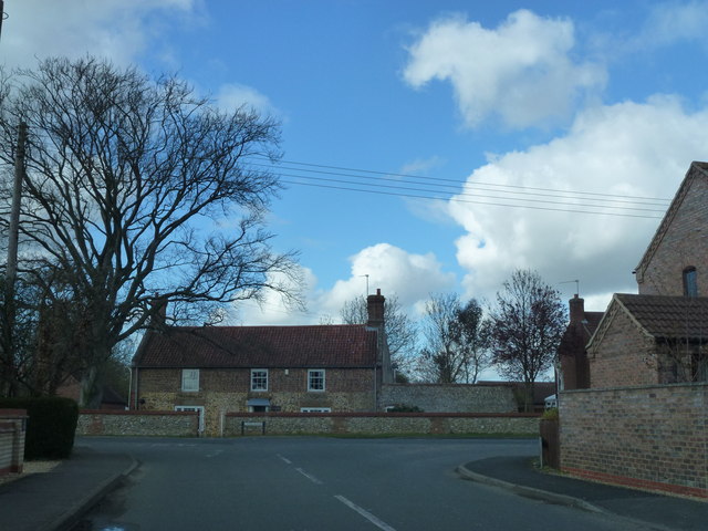
The village itself is small but welcoming, with a close-knit community that takes pride in its local amenities. Gayton boasts a well-regarded primary school, a village hall that hosts various social events and activities, and a local pub that serves delicious food and drinks.
For those who enjoy outdoor activities, Gayton offers ample opportunities for walking, cycling, and exploring the surrounding countryside. The village is also conveniently located near the North Norfolk coast, providing easy access to stunning beaches and charming coastal towns.
Overall, Gayton is a delightful village that offers a peaceful and picturesque setting, a rich history, and a strong sense of community. It is a perfect place for those seeking a tranquil and idyllic lifestyle in the heart of Norfolk.
If you have any feedback on the listing, please let us know in the comments section below.
Gayton Images
Images are sourced within 2km of 52.744108/0.55708848 or Grid Reference TF7219. Thanks to Geograph Open Source API. All images are credited.


Gayton is located at Grid Ref: TF7219 (Lat: 52.744108, Lng: 0.55708848)
Administrative County: Norfolk
District: King's Lynn and West Norfolk
Police Authority: Norfolk
What 3 Words
///smudges.cocktail.seducing. Near Grimston, Norfolk
Nearby Locations
Related Wikis

Gayton, Norfolk
Gayton is a village and civil parish in the English county of Norfolk. The village is located 6 miles (9.7 km) east of King's Lynn and 32 miles (51 km...
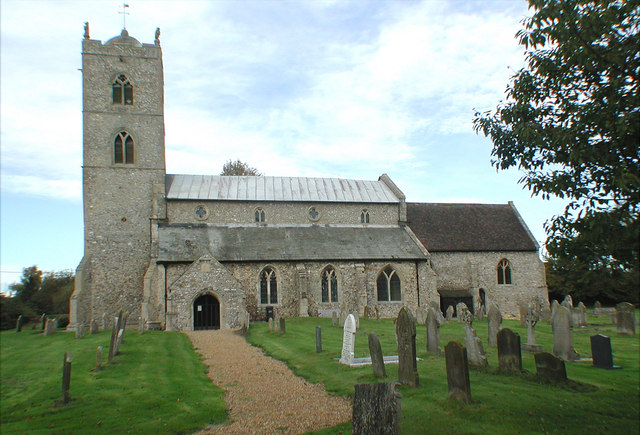
St Nicholas Church, Gayton
St Nicholas Church is a Church of England church located in Gayton, Norfolk. == Overview == The construction of the church building was completed in 1604...
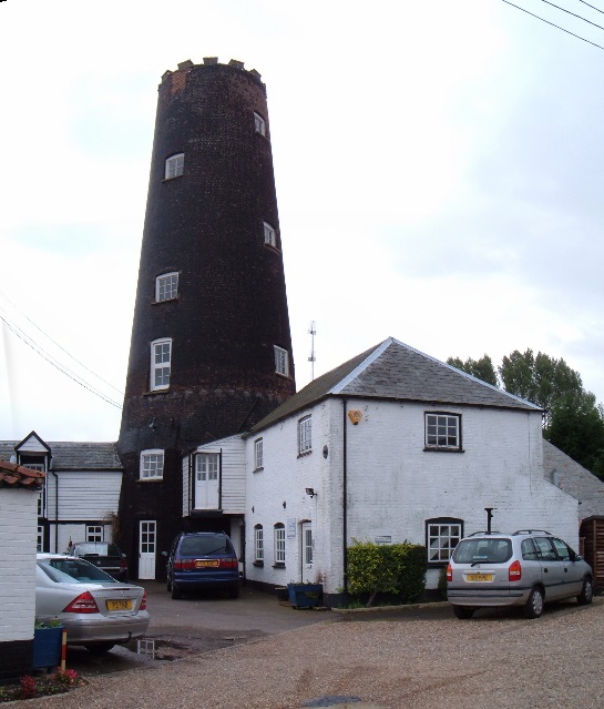
Gayton Windmill, Norfolk
For the Gayton Windmill now in Merseyside see Gayton Windmill, Cheshire Gayton Mill is a Grade II listed tower mill at Gayton, Norfolk, England which...

Gayton Thorpe Roman Villa
Gayton Thorpe Roman Villa is the site of a Roman villa, near Gayton Thorpe and about 5 miles (8 km) east of King's Lynn, in Norfolk, England. It was discovered...
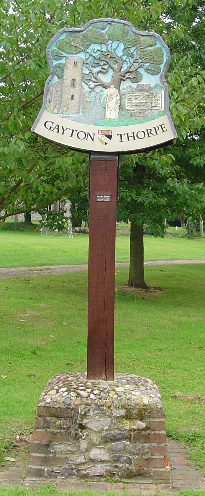
Gayton Thorpe
Gayton Thorpe is a village and former civil parish, now in the parish of Gayton, in the King's Lynn and West Norfolk district, in the county of Norfolk...
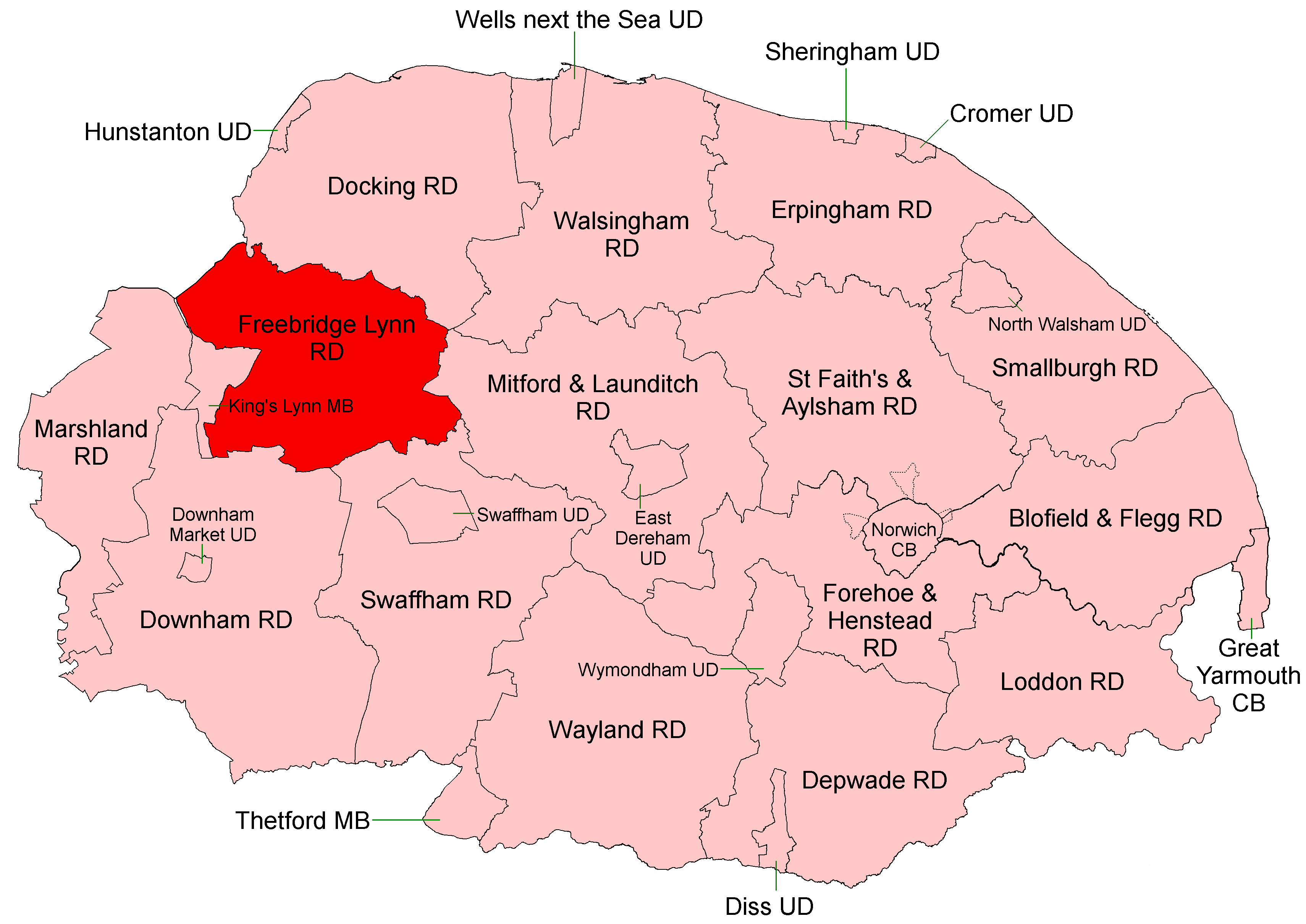
Freebridge Lynn Rural District
Freebridge Lynn Rural District was a rural district in Norfolk, England from 1894 to 1974.It was formed under the Local Government Act 1894 based on the...

Docking Rural District
Docking Lynn Rural District was a rural district in Norfolk, England from 1894 to 1974.It was formed under the Local Government Act 1894 based on the Docking...
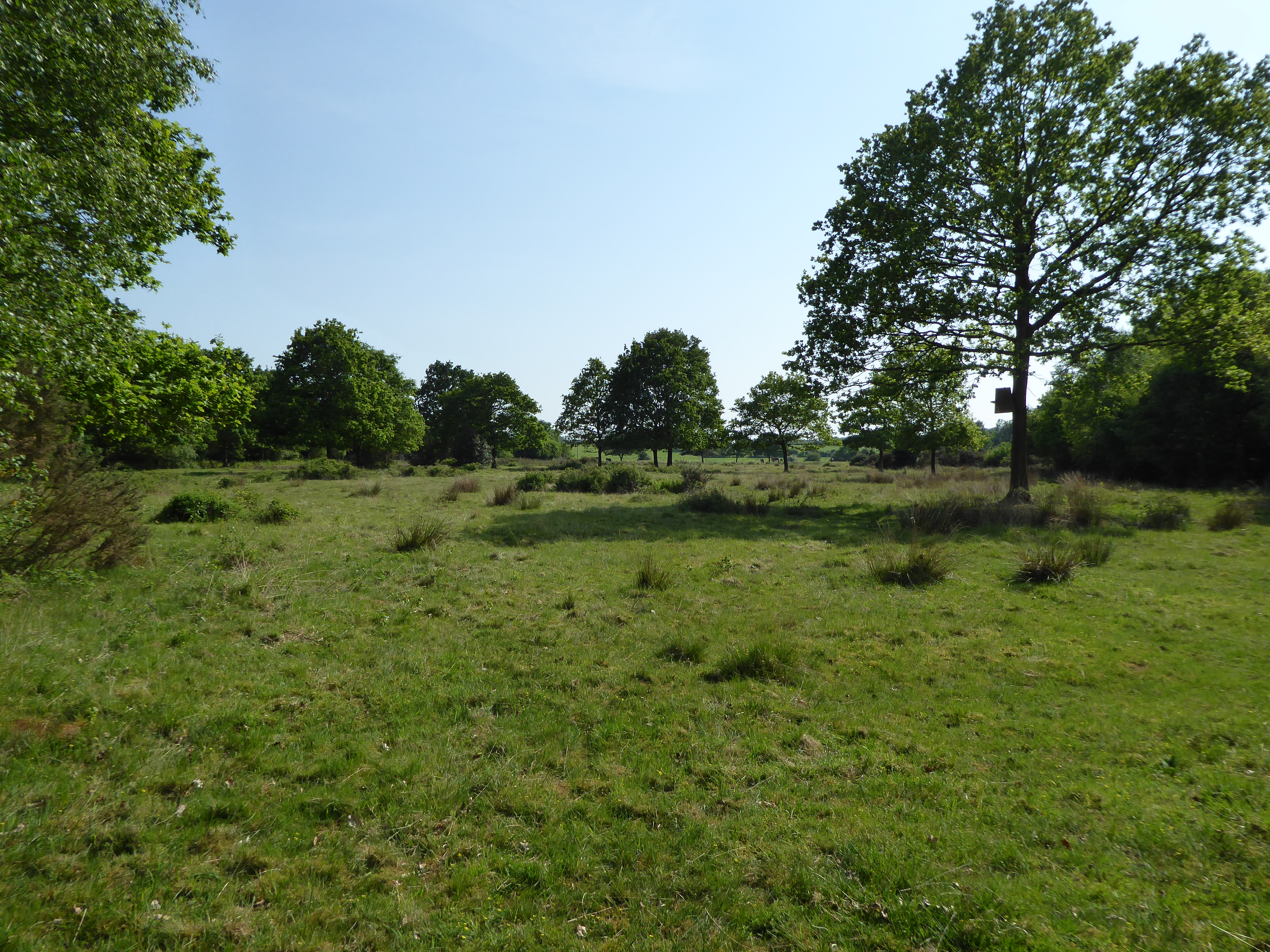
Leziate, Sugar and Derby Fens
Leziate, Sugar and Derby Fens is an 87.9-hectare (217-acre) biological Site of Special Scientific Interest east of King's Lynn in Norfolk.These fens...
Nearby Amenities
Located within 500m of 52.744108,0.55708848Have you been to Gayton?
Leave your review of Gayton below (or comments, questions and feedback).