Loch Druim an lasgair

Lake, Pool, Pond, Freshwater Marsh in Inverness-shire

Scotland

Loch Druim an lasgair

Loch Bi Narrows, South Uist Immediately west of the footbridge <a href="https://www.geograph.org.uk/photo/7148554">NF7941 : Hebridean Way Footbridge, South Uist</a> lie the real narrows. Although largele freshwater, Loch Bi is connected to the sea at both its east and west ends. When the tide is ebbing or flowing, a current is generated in the loch. Over most of it, this is imperceptible but at pinch points, especially the narrows at the footbridge, the rate can be considerable. The gap in the photo is little more than the width of a rowing boat, producing the strongest current. It took the combined efforts of an outboard motor and punting with oars to escape through to the west towards the sunset.
Loch Bi Narrows, South Uist Credit: AlastairG

The requested URL returned error: 429 Too Many Requests

If you have any feedback on the listing, please let us know in the comments section below.

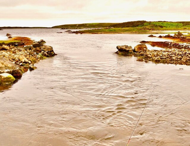
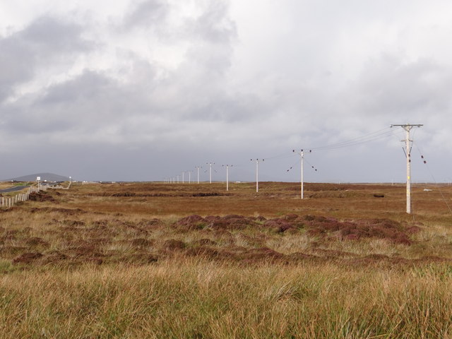
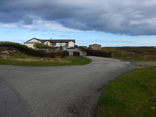
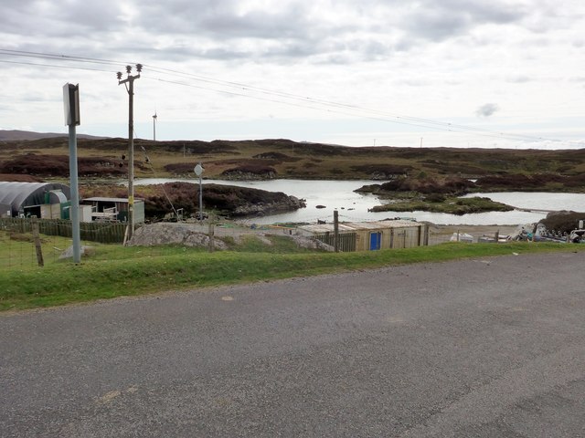
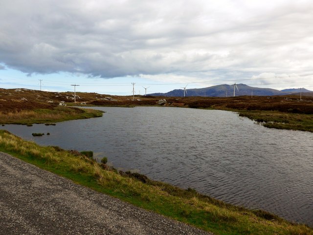
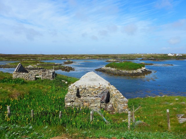
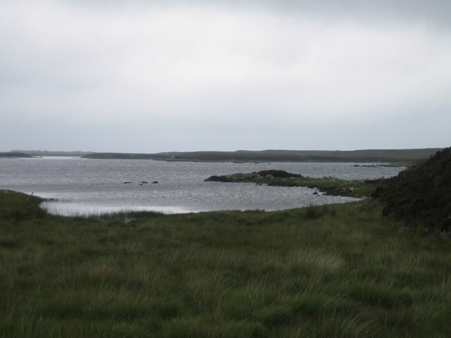
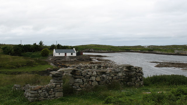
Loch Druim an lasgair Images

Images are sourced within 2km of 57.368444/-7.3193185 or Grid Reference NF8043. Thanks to Geograph Open Source API. All images are credited.

Loch Bi Narrows, South Uist Immediately west of the footbridge <a href="https://www.geograph.org.uk/photo/7148554">NF7941 : Hebridean Way Footbridge, South Uist</a> lie the real narrows. Although largele freshwater, Loch Bi is connected to the sea at both its east and west ends. When the tide is ebbing or flowing, a current is generated in the loch. Over most of it, this is imperceptible but at pinch points, especially the narrows at the footbridge, the rate can be considerable. The gap in the photo is little more than the width of a rowing boat, producing the strongest current. It took the combined efforts of an outboard motor and punting with oars to escape through to the west towards the sunset.
Loch Bi Narrows, South Uist
Immediately west of the footbridge NF7941 : Hebridean Way Footbridge, South Uist lie the real narrows. Although largele freshwater, Loch Bi is connected to the sea at both its east and west ends. When the tide is ebbing or flowing, a current is generated in the loch. Over most of it, this is imperceptible but at pinch points, especially the narrows at the footbridge, the rate can be considerable. The gap in the photo is little more than the width of a rowing boat, producing the strongest current. It took the combined efforts of an outboard motor and punting with oars to escape through to the west towards the sunset.
Parallel Lines Roadside feature near Loch Bi.
Parallel Lines
Roadside feature near Loch Bi.
The Orosay Inn Great wee hotel with simple rooms and great food - especially seafood (I speak only as a satisfied customer!).
The Orosay Inn
Great wee hotel with simple rooms and great food - especially seafood (I speak only as a satisfied customer!).
Wayside shrine On the Loch Carnan road
Wayside shrine
On the Loch Carnan road
Fish farm base at Loch Carnan
Loch Carnan Community Wind Farm Now capable of generating its full 6.9MW.  This wind farm is built on (presumably) crofting land and revenues will go to the local community - revenues estimated at around £20 million over the next 20 years.
Loch Carnan Community Wind Farm
Now capable of generating its full 6.9MW. This wind farm is built on (presumably) crofting land and revenues will go to the local community - revenues estimated at around £20 million over the next 20 years.
Lochcarnan Community Windfarm Now capable of generating its full 6.9MW. This wind farm is built on (presumably) crofting land and revenues will go to the local community - revenues estimated at around £20 million over the next 20 years
Lochcarnan Community Windfarm
Now capable of generating its full 6.9MW. This wind farm is built on (presumably) crofting land and revenues will go to the local community - revenues estimated at around £20 million over the next 20 years
Ruins at Grosavagh It can be difficult to tell in the Outer Hebrides, but this is salt water (you can see the tide marks).
Ruins at Grosavagh
It can be difficult to tell in the Outer Hebrides, but this is salt water (you can see the tide marks).
Loch Bee A large brackish loch that stretches from one side of South Uist to the other. Home to enormous sticklebacks and trout, allegedly.
Loch Bee
A large brackish loch that stretches from one side of South Uist to the other. Home to enormous sticklebacks and trout, allegedly.
Stone quarry near Loch a Charnain The quarry shown is now flooded and disused, but the working quarry is just around the corner and operated by R J McLeod.
Stone quarry near Loch a Charnain
The quarry shown is now flooded and disused, but the working quarry is just around the corner and operated by R J McLeod.
Road junction and shrine, South Uist. South Uist is a stronghold of the Catholic faith and roadside shrines are plentiful. This one is at Loch a Charnain on the road to Sandavaig.
Road junction and shrine, South Uist.
South Uist is a stronghold of the Catholic faith and roadside shrines are plentiful. This one is at Loch a Charnain on the road to Sandavaig.
Cottage by the shore A nicely restored traditional cottage by the shore, overlooking a narrow inlet on the NE coast of South Uist.
Cottage by the shore
A nicely restored traditional cottage by the shore, overlooking a narrow inlet on the NE coast of South Uist.
Oasis in the desert. The Orasay Inn is by a dead end road on the north east side of South Uist and offers food, drink and accommodation.
Oasis in the desert.
The Orasay Inn is by a dead end road on the north east side of South Uist and offers food, drink and accommodation.
Ruined croft at Aird Mhor. A slowly decaying traditional cottage by the shore.
Ruined croft at Aird Mhor.
A slowly decaying traditional cottage by the shore.
South Uist tyre depot? Small shed by the shore with an antique sign.
South Uist tyre depot?
Small shed by the shore with an antique sign.
The Lost Mountains of Loch Bee Or possibly just some small boulders...
The Lost Mountains of Loch Bee
Or possibly just some small boulders...
Loch a' Chnoic Bhric This looks like a causeway or wall across the narrowest part of the loch. Beyond are Thacla (Hecla) and Beinn Mhòr.
Loch a' Chnoic Bhric
This looks like a causeway or wall across the narrowest part of the loch. Beyond are Thacla (Hecla) and Beinn Mhòr.
Orosay Inn In the north-east corner of South Uist.
Orosay Inn
In the north-east corner of South Uist.
Show me another place!

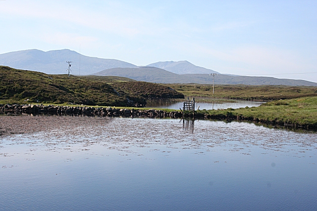
Loch Druim an lasgair is located at Grid Ref: NF8043 (Lat: 57.368444, Lng: -7.3193185)

Unitary Authority: Na h-Eileanan an Iar

Police Authority: Highlands and Islands

What 3 Words

///rectangular.financial.stealthier. Near Balivanich, Na h-Eileanan Siar

Related Wikis

Carnan (townland)

Carnan is a townland in County Tyrone, Northern Ireland. It is situated in the historic barony of Dungannon Upper and the civil parish of Arboe and covers...

Loch Bee

Loch Bì, sometimes anglicised as Loch Bee, is the largest loch on the island of South Uist in the Outer Hebrides of Scotland. It lies at the northern end...

Our Lady of the Isles

Our Lady of the Isles (Gaelic: Moire ro Naomh nan Eilean or Bana Thighearna nan Eilean) is a sculpture of the Madonna and Child, on South Uist in the Outer...

Iochdar

Iochdar (Scottish Gaelic: An t-Ìochdair), also spelled Eochar, is a hamlet and community on the west coast of the island of South Uist, in the Outer Hebrides...

Nearby Amenities

Located within 500m of 57.368444,-7.3193185
Power: pole
Lat/Long: 57.3722211/-7.3153952
Power: pole
Lat/Long: 57.3725754/-7.3164158
Power: pole
Lat/Long: 57.3718964/-7.3144323
Power: pole
Lat/Long: 57.3715783/-7.3135552
The data included in this document is from www.openstreetmap.org. The data is made available under ODbL.

Have you been to Loch Druim an lasgair?

Leave your review of Loch Druim an lasgair below (or comments, questions and feedback).