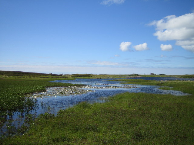
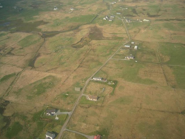
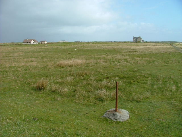
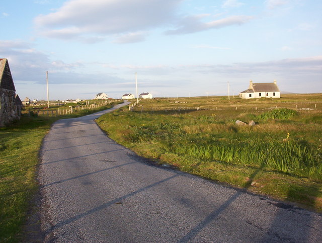
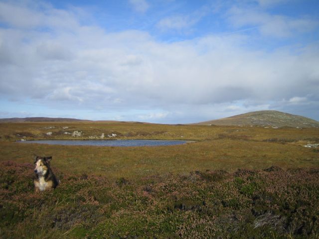
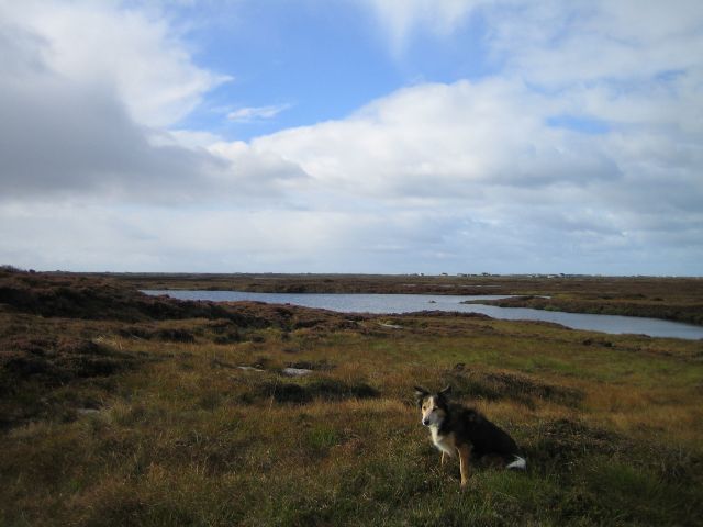
Loch na Faoilinn
Lake, Pool, Pond, Freshwater Marsh in Inverness-shire
Scotland
Loch na Faoilinn
The requested URL returned error: 429 Too Many Requests
If you have any feedback on the listing, please let us know in the comments section below.
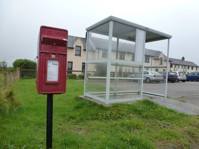
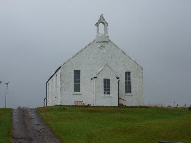
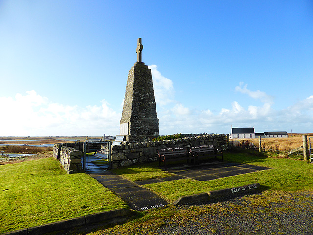
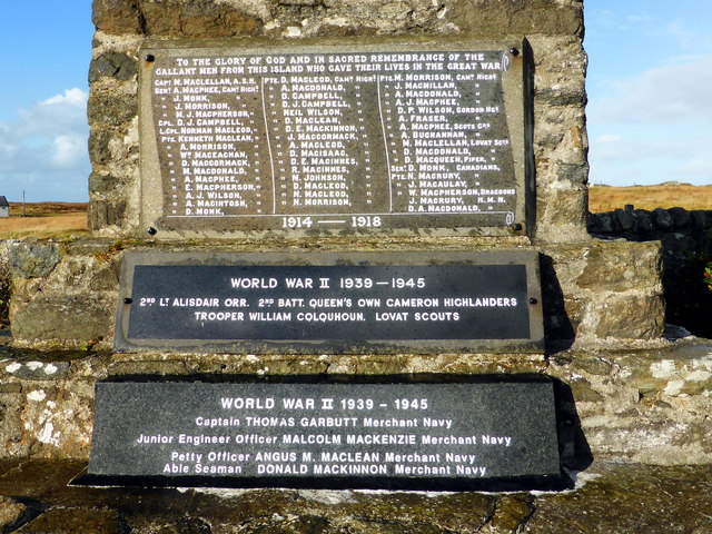
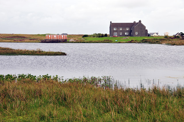
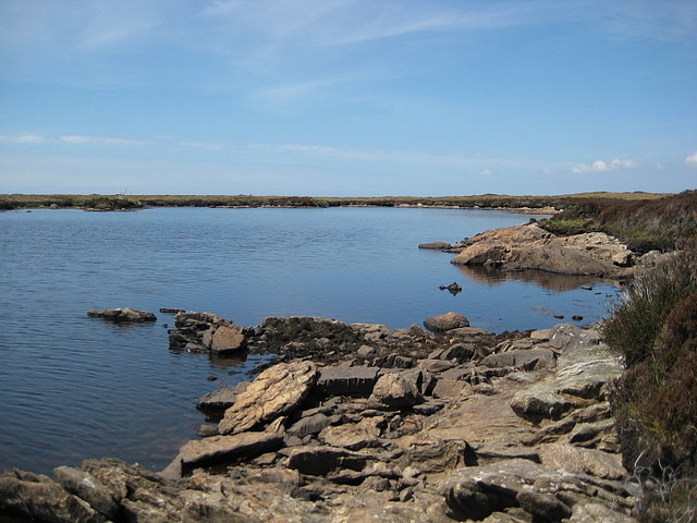
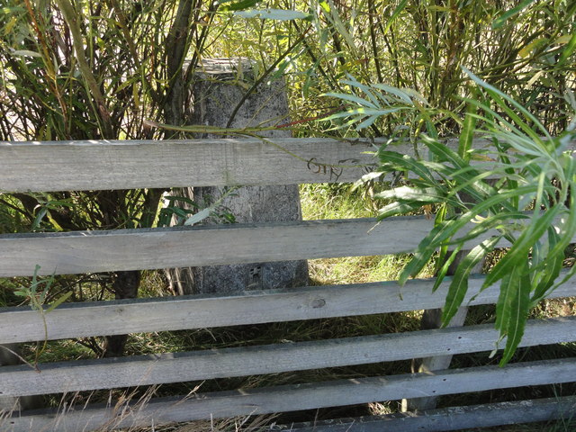
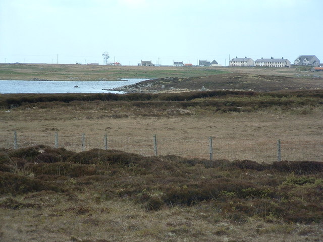
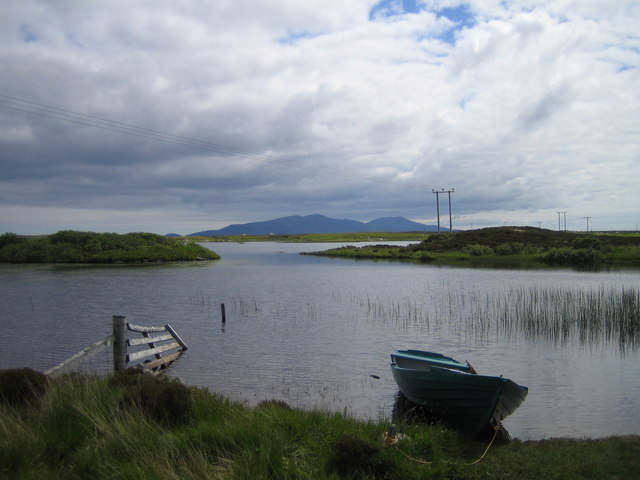
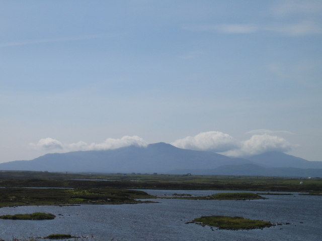
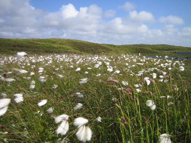
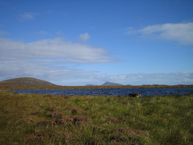
Loch na Faoilinn Images
Images are sourced within 2km of 57.439255/-7.3293527 or Grid Reference NF8051. Thanks to Geograph Open Source API. All images are credited.
Loch na Faoilinn is located at Grid Ref: NF8051 (Lat: 57.439255, Lng: -7.3293527)
Unitary Authority: Na h-Eileanan an Iar
Police Authority: Highlands and Islands
What 3 Words
///tenders.published.redeeming. Near Balivanich, Na h-Eileanan Siar
Nearby Locations
Related Wikis

Uist
Uist is a group of six islands that are part of the Outer Hebridean Archipelago, which is part of the Outer Hebrides of Scotland. North Uist and South...

Benbecula
Benbecula ( ; Scottish Gaelic: Beinn nam Fadhla or Beinn na Faoghla) is an island of the Outer Hebrides in the Atlantic Ocean off the west coast of Scotland...

Borve Castle, Benbecula
Borve Castle, also known as Castle Wearie, and Caisteal Bhuirgh in Scottish Gaelic, is a ruined 14th-century tower house, located at the south-west of...

Uachdar
Uachdar (Scottish Gaelic: An t-Uachdar [ən̪ˠ ˈt̪ʰuəxkəɾ]) is a settlement on the Outer Hebridean Island of Benbecula. Uachdar is within the parish of South...
Nearby Amenities
Located within 500m of 57.439255,-7.3293527Have you been to Loch na Faoilinn?
Leave your review of Loch na Faoilinn below (or comments, questions and feedback).