Lochan Cnoc an Amhaire

Lake, Pool, Pond, Freshwater Marsh in Inverness-shire

Scotland

Lochan Cnoc an Amhaire

Loch Bi Narrows, South Uist Immediately west of the footbridge <a href="https://www.geograph.org.uk/photo/7148554">NF7941 : Hebridean Way Footbridge, South Uist</a> lie the real narrows. Although largele freshwater, Loch Bi is connected to the sea at both its east and west ends. When the tide is ebbing or flowing, a current is generated in the loch. Over most of it, this is imperceptible but at pinch points, especially the narrows at the footbridge, the rate can be considerable. The gap in the photo is little more than the width of a rowing boat, producing the strongest current. It took the combined efforts of an outboard motor and punting with oars to escape through to the west towards the sunset.
Loch Bi Narrows, South Uist Credit: AlastairG

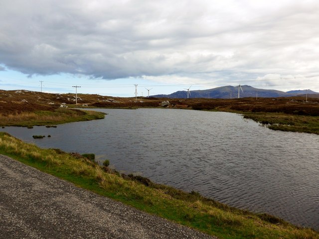
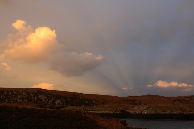
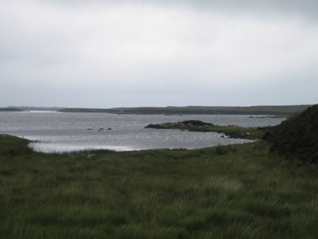
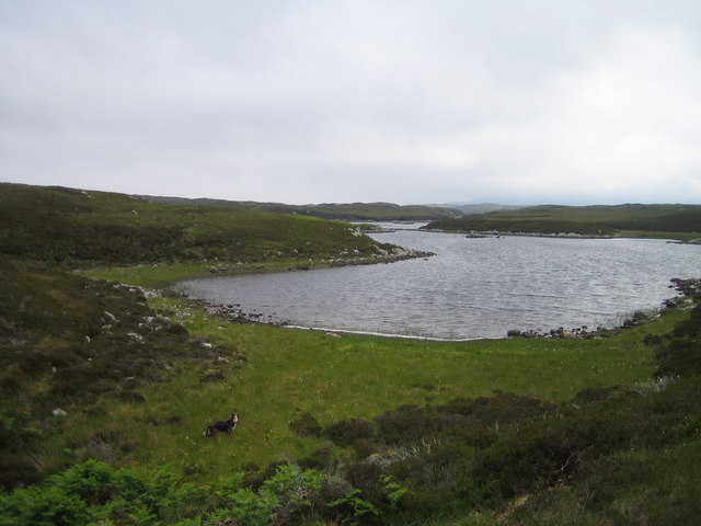
Lochan Cnoc an Amhaire is a picturesque freshwater loch located in Inverness-shire, Scotland. Nestled within the beautiful Scottish Highlands, it sits at an elevation of approximately 400 meters above sea level. The lochan is surrounded by rolling hills and breathtaking panoramic views, making it a popular destination for nature lovers and outdoor enthusiasts.

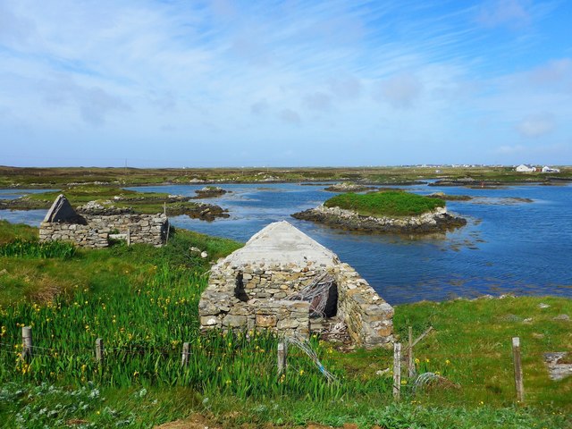
With a surface area of around 10 hectares, Lochan Cnoc an Amhaire is relatively small compared to other lochs in the region. However, its tranquil atmosphere and unspoiled surroundings make it a hidden gem for those seeking solitude and natural beauty. The lochan is fed by numerous small streams and springs that flow from the surrounding hills, ensuring a constant supply of freshwater.

The lochan is home to a diverse range of flora and fauna, with several species of waterfowl, including ducks and swans, frequently seen gliding across its shimmering surface. The surrounding wetlands and marshes provide a habitat for various plants and wildlife, including reeds, rushes, and dragonflies. The lochan's crystal-clear waters also support a healthy population of fish, making it a popular spot for anglers.

Access to Lochan Cnoc an Amhaire is relatively easy, with a well-maintained footpath leading to its shores. Visitors can enjoy leisurely walks around the loch, taking in the stunning scenery and enjoying the peaceful ambiance. Fishing permits are available for those who wish to try their luck in catching some of the lochan's resident fish.

In summary, Lochan Cnoc an Amhaire is a small yet enchanting freshwater loch in Inverness-shire, offering a serene and idyllic setting amidst the majestic Scottish Highlands.

If you have any feedback on the listing, please let us know in the comments section below.

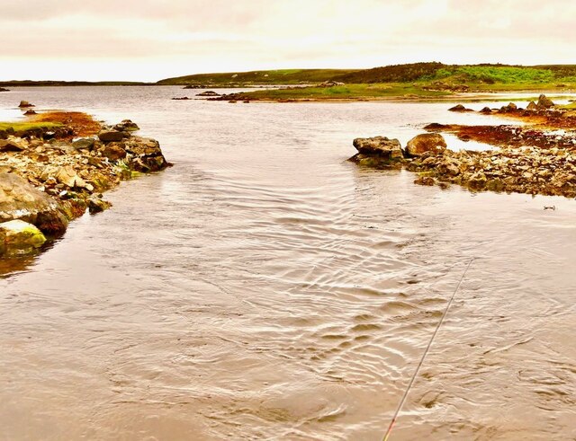
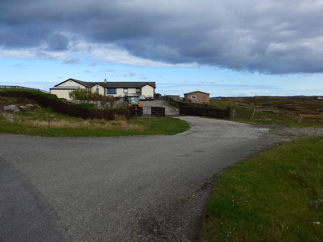
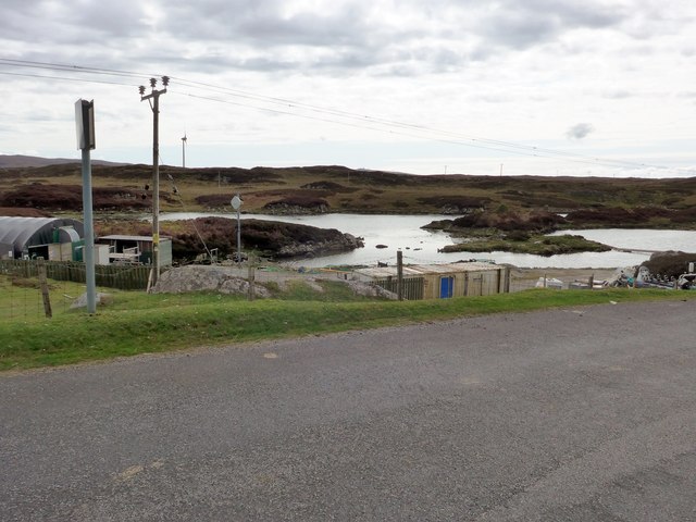
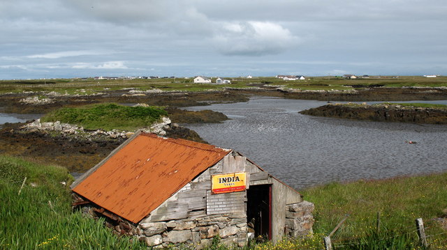
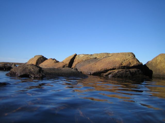
Lochan Cnoc an Amhaire Images

Images are sourced within 2km of 57.36698/-7.3124441 or Grid Reference NF8043. Thanks to Geograph Open Source API. All images are credited.

Loch Bi Narrows, South Uist Immediately west of the footbridge <a href="https://www.geograph.org.uk/photo/7148554">NF7941 : Hebridean Way Footbridge, South Uist</a> lie the real narrows. Although largele freshwater, Loch Bi is connected to the sea at both its east and west ends. When the tide is ebbing or flowing, a current is generated in the loch. Over most of it, this is imperceptible but at pinch points, especially the narrows at the footbridge, the rate can be considerable. The gap in the photo is little more than the width of a rowing boat, producing the strongest current. It took the combined efforts of an outboard motor and punting with oars to escape through to the west towards the sunset.
Loch Bi Narrows, South Uist
Immediately west of the footbridge NF7941 : Hebridean Way Footbridge, South Uist lie the real narrows. Although largele freshwater, Loch Bi is connected to the sea at both its east and west ends. When the tide is ebbing or flowing, a current is generated in the loch. Over most of it, this is imperceptible but at pinch points, especially the narrows at the footbridge, the rate can be considerable. The gap in the photo is little more than the width of a rowing boat, producing the strongest current. It took the combined efforts of an outboard motor and punting with oars to escape through to the west towards the sunset.
The Orosay Inn Great wee hotel with simple rooms and great food - especially seafood (I speak only as a satisfied customer!).
The Orosay Inn
Great wee hotel with simple rooms and great food - especially seafood (I speak only as a satisfied customer!).
Wayside shrine On the Loch Carnan road
Wayside shrine
On the Loch Carnan road
Fish farm base at Loch Carnan
Loch Carnan Community Wind Farm Now capable of generating its full 6.9MW.  This wind farm is built on (presumably) crofting land and revenues will go to the local community - revenues estimated at around £20 million over the next 20 years.
Loch Carnan Community Wind Farm
Now capable of generating its full 6.9MW. This wind farm is built on (presumably) crofting land and revenues will go to the local community - revenues estimated at around £20 million over the next 20 years.
Lochcarnan Community Windfarm Now capable of generating its full 6.9MW. This wind farm is built on (presumably) crofting land and revenues will go to the local community - revenues estimated at around £20 million over the next 20 years
Lochcarnan Community Windfarm
Now capable of generating its full 6.9MW. This wind farm is built on (presumably) crofting land and revenues will go to the local community - revenues estimated at around £20 million over the next 20 years
Sunset Shadows Rays and shadows cast by the setting sun over Lochcarnan. The sun is behind the photographer.
Sunset Shadows
Rays and shadows cast by the setting sun over Lochcarnan. The sun is behind the photographer.
Ruins at Grosavagh It can be difficult to tell in the Outer Hebrides, but this is salt water (you can see the tide marks).
Ruins at Grosavagh
It can be difficult to tell in the Outer Hebrides, but this is salt water (you can see the tide marks).
Lochcarnan Beyond the trigpoint the background includes a fish processing plant and the Uist's diesel fired power station. The square relevant part is the single track road running through acid soiled grazing on the rugged east coast of South Uist.
Lochcarnan
Beyond the trigpoint the background includes a fish processing plant and the Uist's diesel fired power station. The square relevant part is the single track road running through acid soiled grazing on the rugged east coast of South Uist.
Loch Bee A large brackish loch that stretches from one side of South Uist to the other. Home to enormous sticklebacks and trout, allegedly.
Loch Bee
A large brackish loch that stretches from one side of South Uist to the other. Home to enormous sticklebacks and trout, allegedly.
Loch Caslub A small bay at the western end of this brackish loch.
Loch Caslub
A small bay at the western end of this brackish loch.
Stone quarry near Loch a Charnain The quarry shown is now flooded and disused, but the working quarry is just around the corner and operated by R J McLeod.
Stone quarry near Loch a Charnain
The quarry shown is now flooded and disused, but the working quarry is just around the corner and operated by R J McLeod.
Road junction and shrine, South Uist. South Uist is a stronghold of the Catholic faith and roadside shrines are plentiful. This one is at Loch a Charnain on the road to Sandavaig.
Road junction and shrine, South Uist.
South Uist is a stronghold of the Catholic faith and roadside shrines are plentiful. This one is at Loch a Charnain on the road to Sandavaig.
Cottage by the shore A nicely restored traditional cottage by the shore, overlooking a narrow inlet on the NE coast of South Uist.
Cottage by the shore
A nicely restored traditional cottage by the shore, overlooking a narrow inlet on the NE coast of South Uist.
Restored cottage at Rubha Ghaisinis A nicely restored traditional cottage at the road end.
Restored cottage at Rubha Ghaisinis
A nicely restored traditional cottage at the road end.
Oasis in the desert. The Orasay Inn is by a dead end road on the north east side of South Uist and offers food, drink and accommodation.
Oasis in the desert.
The Orasay Inn is by a dead end road on the north east side of South Uist and offers food, drink and accommodation.
South Uist tyre depot? Small shed by the shore with an antique sign.
South Uist tyre depot?
Small shed by the shore with an antique sign.
The Lost Mountains of Loch Bee Or possibly just some small boulders...
The Lost Mountains of Loch Bee
Or possibly just some small boulders...
Show me another place!

Lochan Cnoc an Amhaire is located at Grid Ref: NF8043 (Lat: 57.36698, Lng: -7.3124441)

Unitary Authority: Na h-Eileanan an Iar

Police Authority: Highlands and Islands

What 3 Words

///downward.sprouting.origin. Near Balivanich, Na h-Eileanan Siar

Related Wikis

Carnan (townland)

Carnan is a townland in County Tyrone, Northern Ireland. It is situated in the historic barony of Dungannon Upper and the civil parish of Arboe and covers...

Loch Bee

Loch Bì, sometimes anglicised as Loch Bee, is the largest loch on the island of South Uist in the Outer Hebrides of Scotland. It lies at the northern end...

Our Lady of the Isles

Our Lady of the Isles (Gaelic: Moire ro Naomh nan Eilean or Bana Thighearna nan Eilean) is a sculpture of the Madonna and Child, on South Uist in the Outer...

Eilean na Cille

Eilean na Cille, south east of Benbecula is an island of the Outer Hebrides connected to Grimsay (South) by a causeway which carries the B891. The road...

Nearby Amenities

Located within 500m of 57.36698,-7.3124441
Power: pole
Lat/Long: 57.3677167/-7.3042801
Power: pole
Lat/Long: 57.3675359/-7.3054066
Power: pole
Lat/Long: 57.3672929/-7.3068282
Power: pole
Lat/Long: 57.3671106/-7.3079869
Power: pole
Lat/Long: 57.3669081/-7.3092771
Power: pole
Lat/Long: 57.3667216/-7.3102856
Power: pole
Lat/Long: 57.3662905/-7.3112109
Power: pole
Lat/Long: 57.3658262/-7.312206
Power: pole
Lat/Long: 57.3653026/-7.3132628
Power: pole
Lat/Long: 57.36486/-7.3141962
Power: pole
Lat/Long: 57.3643812/-7.3151457
Power: pole
Lat/Long: 57.3638865/-7.3161918
Power: pole
Lat/Long: 57.3633643/-7.3172459
Power: pole
Lat/Long: 57.3713151/-7.3107684
Power: pole
Lat/Long: 57.3710873/-7.3094353
Power: pole
Lat/Long: 57.3714351/-7.3126486
Power: pole
Lat/Long: 57.371289/-7.3116642
Power: pole
Lat/Long: 57.3709709/-7.309615
Power: pole
Lat/Long: 57.3707756/-7.3083973
The data included in this document is from www.openstreetmap.org. The data is made available under ODbL.

Have you been to Lochan Cnoc an Amhaire?

Leave your review of Lochan Cnoc an Amhaire below (or comments, questions and feedback).