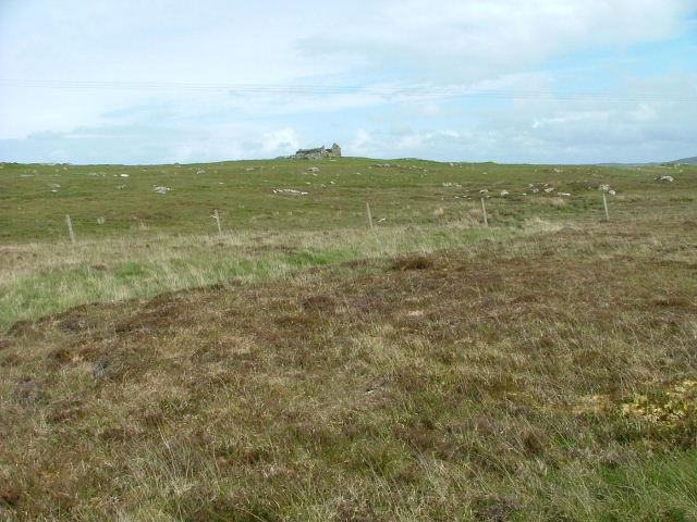
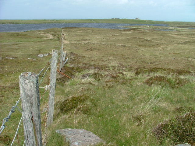
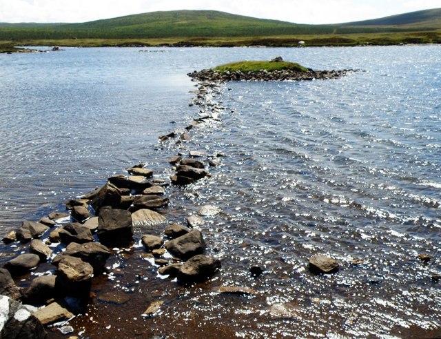
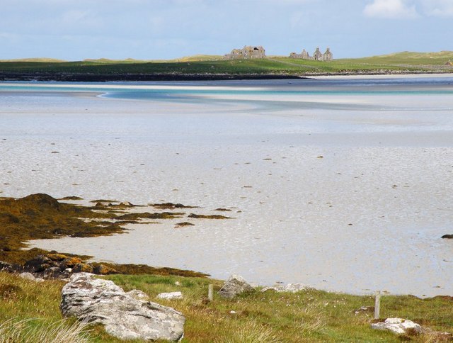
Loch Eig
Lake, Pool, Pond, Freshwater Marsh in Inverness-shire
Scotland
Loch Eig
The requested URL returned error: 429 Too Many Requests
If you have any feedback on the listing, please let us know in the comments section below.
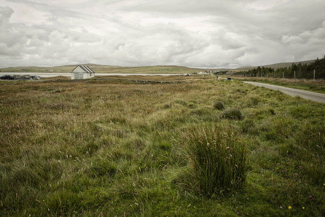
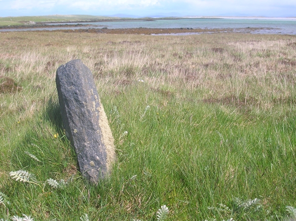
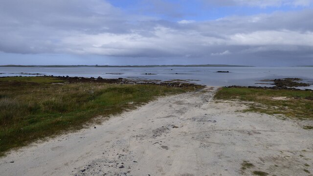
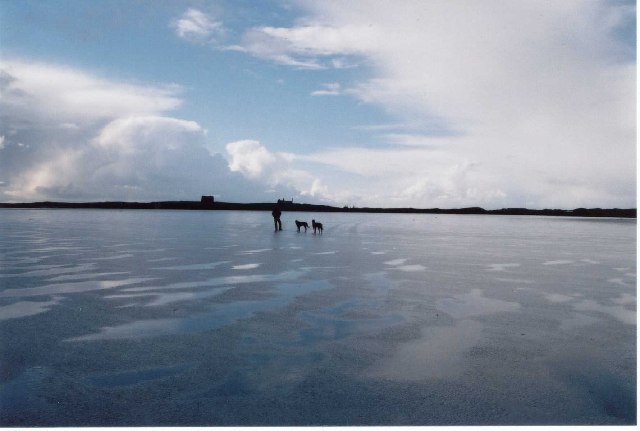
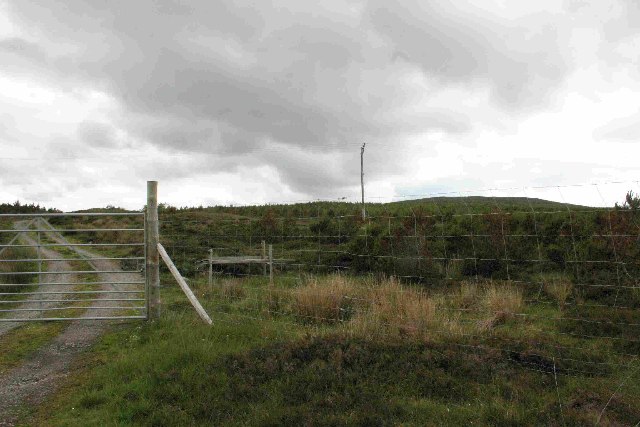
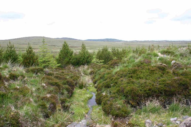
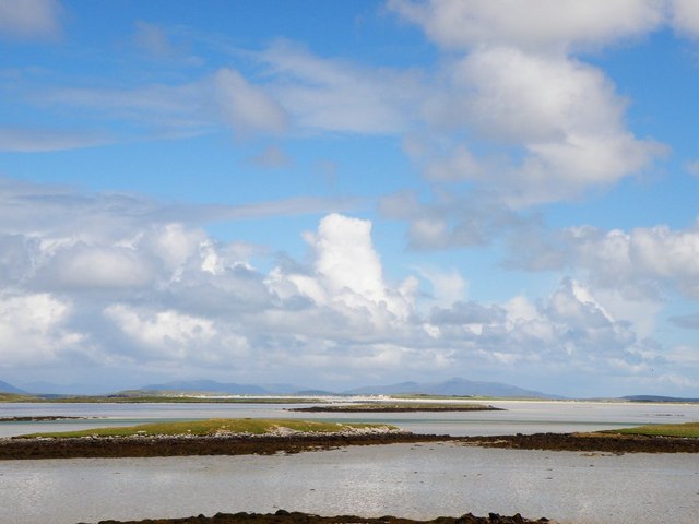
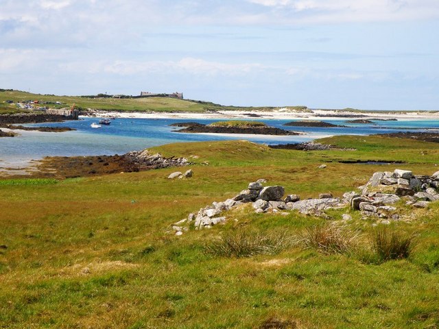
Loch Eig Images
Images are sourced within 2km of 57.640581/-7.4280951 or Grid Reference NF7674. Thanks to Geograph Open Source API. All images are credited.
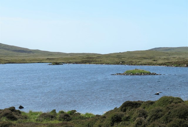
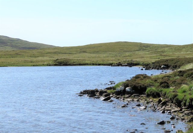
Loch Eig is located at Grid Ref: NF7674 (Lat: 57.640581, Lng: -7.4280951)
Unitary Authority: Na h-Eileanan an Iar
Police Authority: Highlands and Islands
What 3 Words
///greyhound.plotting.litters. Near Lochmaddy, Na h-Eileanan Siar
Nearby Locations
Related Wikis

Eilean Dòmhnuill
Ian Armit identifies the islet of Eilean Dòmhnuill (Scottish Gaelic: Eilean Dòmhnaill, Scottish Gaelic pronunciation: [elan ˈt̪õː.ɪʎ], "The Isle of Donald...

Vallay
Vallay (Scottish Gaelic: Bhàlaigh) is an uninhabited tidal island in the Scottish Outer Hebrides. It can be reached from North Uist by a long beach at...

RRH Benbecula
Remote Radar Head Benbecula or RRH Benbecula, is an air defence radar station operated by the Royal Air Force. It is located at Cleitreabhal a'Deas, 17...

Scolpaig Tower
Scolpaig Tower (also known as Dùn Scolpaig or MacLeod’s Folly) is a Georgian folly located near the village of Scolpaig on the island of North Uist in...
Nearby Amenities
Located within 500m of 57.640581,-7.4280951Have you been to Loch Eig?
Leave your review of Loch Eig below (or comments, questions and feedback).