Loch Fada na Gearrachun

Lake, Pool, Pond, Freshwater Marsh in Inverness-shire

Scotland

Loch Fada na Gearrachun

Old Milestone by the A865, Claddach-vallay, North Uist Granite slab by the A865, in parish of North Uist (North Uist District), Claddach-vallay, 100m Southeast of village sign.

Inscription not recorded.

Surveyed

Milestone Society National ID: WI_NUCW12
Old Milestone by the A865, Claddach-vallay, North Uist Credit: Milestone Society

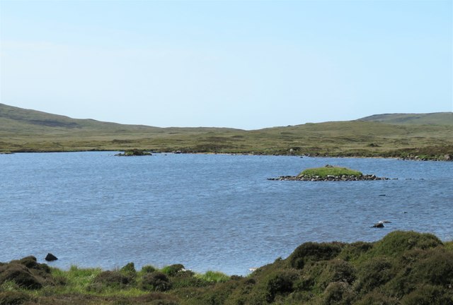
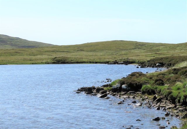
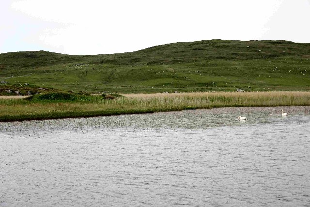
Loch Fada na Gearrachun is a picturesque freshwater loch located in Inverness-shire, Scotland. Nestled amidst the breathtaking Highland landscape, this tranquil body of water is a hidden gem for nature enthusiasts and those seeking a peaceful retreat.

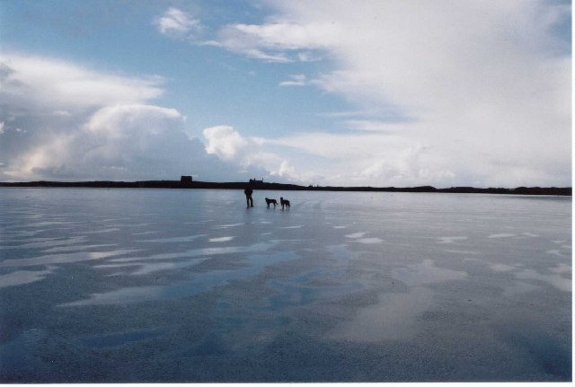
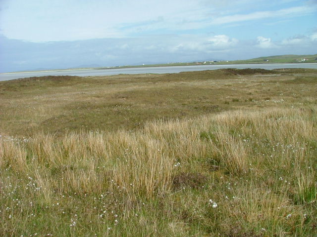
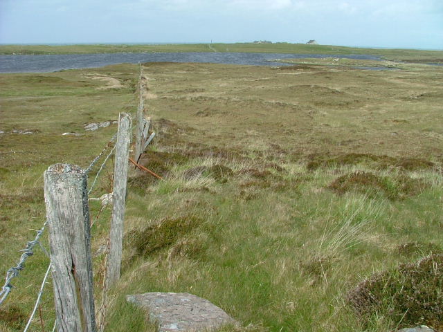
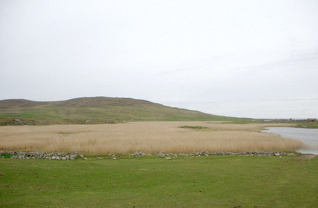
Covering an area of approximately 50 hectares, Loch Fada na Gearrachun is surrounded by rolling hills and dense forests, creating a stunning backdrop for its calm waters. The loch is known for its crystal-clear, emerald-green color, which is a result of the surrounding peatlands and the filtering of rainwater through the mosses and vegetation.

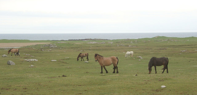
The loch is home to a diverse range of plant and animal species, making it a haven for wildlife lovers. Its shores are lined with reeds, sedges, and rushes, creating a rich freshwater marsh habitat that supports a variety of bird species, including ducks, swans, and herons. Anglers also frequent the loch, as it is known for its abundance of brown trout, offering a great opportunity for fishing enthusiasts.

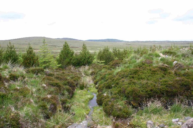
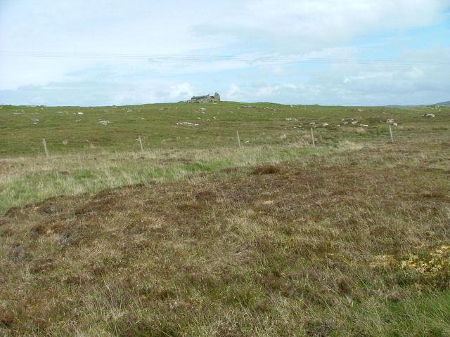
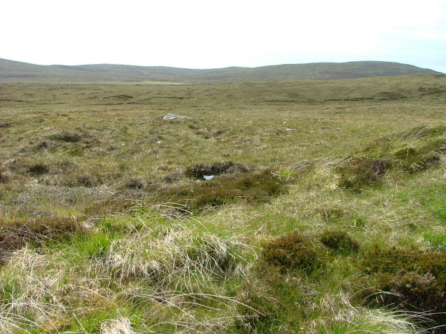
Surrounding the loch are several walking trails and viewpoints that provide visitors with breathtaking vistas of the surrounding countryside. The remote location of Loch Fada na Gearrachun adds to its appeal, as it offers a sense of tranquility and seclusion away from the hustle and bustle of daily life.

In conclusion, Loch Fada na Gearrachun is a stunning freshwater loch in Inverness-shire, Scotland, offering a peaceful and picturesque setting amidst the Highland landscape. With its diverse wildlife, clear waters, and breathtaking scenery, it is a must-visit destination for nature enthusiasts and those seeking a serene escape.

If you have any feedback on the listing, please let us know in the comments section below.

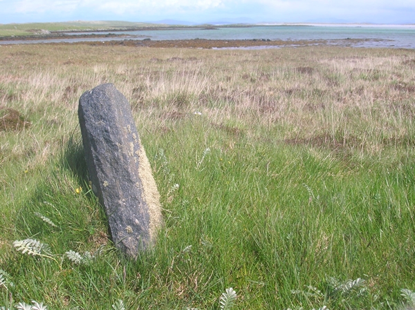
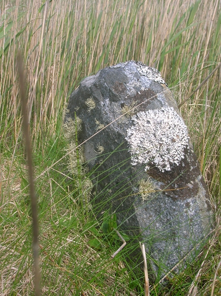
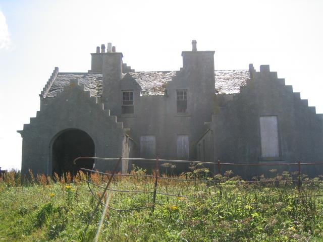
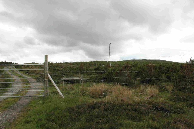
Loch Fada na Gearrachun Images

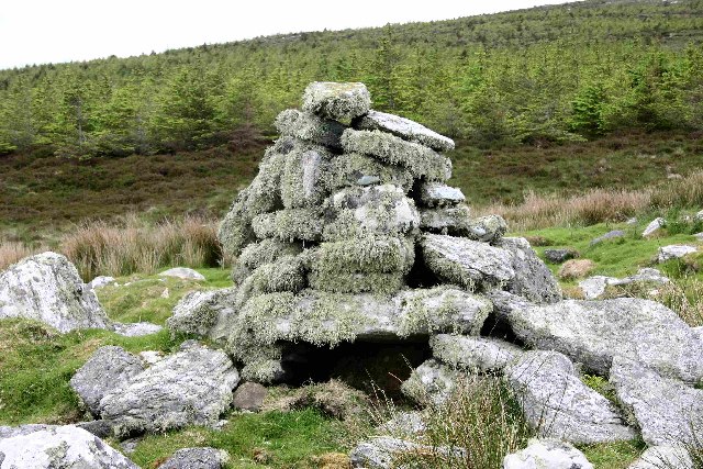
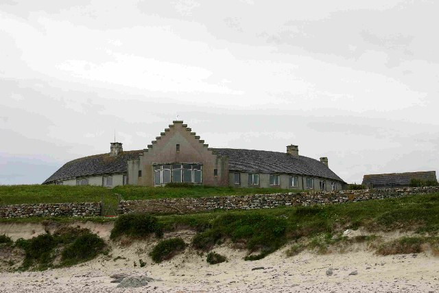
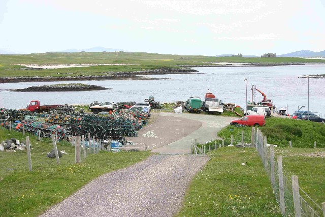
Images are sourced within 2km of 57.644871/-7.4315067 or Grid Reference NF7674. Thanks to Geograph Open Source API. All images are credited.

Old Milestone by the A865, Claddach-vallay, North Uist Granite slab by the A865, in parish of North Uist (North Uist District), Claddach-vallay, 100m Southeast of village sign.

Inscription not recorded.

Surveyed

Milestone Society National ID: WI_NUCW12
Old Milestone by the A865, Claddach-vallay, North Uist
Granite slab by the A865, in parish of North Uist (North Uist District), Claddach-vallay, 100m Southeast of village sign. Inscription not recorded. Surveyed Milestone Society National ID: WI_NUCW12
Old Milestone by the A865, Druim nan Dearcag, North Uist parish Granite slab by the A865, in parish of North Uist (North Uist District), Druim nan Dearcag, in reeds on verge, on long straight near fence at right angles to road.

Inscription not recorded.

Surveyed

Milestone Society National ID: WI_NUCW10
Old Milestone by the A865, Druim nan Dearcag, North Uist parish
Granite slab by the A865, in parish of North Uist (North Uist District), Druim nan Dearcag, in reeds on verge, on long straight near fence at right angles to road. Inscription not recorded. Surveyed Milestone Society National ID: WI_NUCW10
Loch na Gearrachun The tiny island is the site of a dun, whilst the stone causeway leading to it can just be seen to the right.
Loch na Gearrachun
The tiny island is the site of a dun, whilst the stone causeway leading to it can just be seen to the right.
Loch Fada na Gearrachun Small thin loch linked to its larger neighbour by a small channel.
Loch Fada na Gearrachun
Small thin loch linked to its larger neighbour by a small channel.
Erskine Beveridge's house on Bhalaigh The abandoned house of the historian Erskine Beveridge.
Erskine Beveridge's house on Bhalaigh
The abandoned house of the historian Erskine Beveridge.
Traigh Bhalaigh The island of Vallay (Bhalaigh), is only accessible by foot at low tide. It is situated on the North of North Uist. The island itself has standing stones and remnants of ancient settlements and the crumbling ruins of Vallay House. This, once grand, building and several outhouses was owned by Erskine Beveridge, who contributed greatly to the archaeology of North Uist and wrote a weighty book on the subject.
Traigh Bhalaigh
The island of Vallay (Bhalaigh), is only accessible by foot at low tide. It is situated on the North of North Uist. The island itself has standing stones and remnants of ancient settlements and the crumbling ruins of Vallay House. This, once grand, building and several outhouses was owned by Erskine Beveridge, who contributed greatly to the archaeology of North Uist and wrote a weighty book on the subject.
Plantation entrance North Uist
Burn running through plantation, North Uist
Cairn on site of Aisled house
Callernish House Callernish House was built in 1961 by the 5th Earl Granville. Designed by Sir Martyn Beckett, it has 14 bedrooms and 8 bathrooms. It is listed as a folly in Headley and Meulenkamp's Follies, the standard guide to follies in Britain
Callernish House
Callernish House was built in 1961 by the 5th Earl Granville. Designed by Sir Martyn Beckett, it has 14 bedrooms and 8 bathrooms. It is listed as a folly in Headley and Meulenkamp's Follies, the standard guide to follies in Britain
Dun in Loch an Eilean Picture taken from East side of the Loch
Dun in Loch an Eilean
Picture taken from East side of the Loch
Pier with Bhalaigh in the background
Machair Looking towards Tràigh Bhàlaigh.
Machair
Looking towards Tràigh Bhàlaigh.
Ruin on the Moorland Looking southwest from the A865.
Ruin on the Moorland
Looking southwest from the A865.
Fence running to Loch Olabhat Houses at Griminis in the distance.
Fence running to Loch Olabhat
Houses at Griminis in the distance.
Open Moorland Looking towards Beinn Riabhach.
Open Moorland
Looking towards Beinn Riabhach.
Reedbed, Loch an Eilean Looking westwards across a reedbed occupying a large part of Loch an Eilean. The hill in the background is Beinn Scolpaig.
Reedbed, Loch an Eilean
Looking westwards across a reedbed occupying a large part of Loch an Eilean. The hill in the background is Beinn Scolpaig.
Grazing land at Griminis, North Uist View looking north west of grazing land to the east of Loch an Eilean. The grazers here are horses and ponies of a riding centre.
Grazing land at Griminis, North Uist
View looking north west of grazing land to the east of Loch an Eilean. The grazers here are horses and ponies of a riding centre.
Show me another place!

Loch Fada na Gearrachun is located at Grid Ref: NF7674 (Lat: 57.644871, Lng: -7.4315067)

Unitary Authority: Na h-Eileanan an Iar

Police Authority: Highlands and Islands

What 3 Words

///ombudsman.rice.probable. Near Lochmaddy, Na h-Eileanan Siar

Related Wikis

Eilean Dòmhnuill

Ian Armit identifies the islet of Eilean Dòmhnuill (Scottish Gaelic: Eilean Dòmhnaill, Scottish Gaelic pronunciation: [elan ˈt̪õː.ɪʎ], "The Isle of Donald...

Vallay

Vallay (Scottish Gaelic: Bhàlaigh) is an uninhabited tidal island in the Scottish Outer Hebrides. It can be reached from North Uist by a long beach at...

Scolpaig Tower

Scolpaig Tower (also known as Dùn Scolpaig or MacLeod’s Folly) is a Georgian folly located near the village of Scolpaig on the island of North Uist in...

RRH Benbecula

Remote Radar Head Benbecula or RRH Benbecula, is an air defence radar station operated by the Royal Air Force. It is located at Cleitreabhal a'Deas, 17...

Nearby Amenities

Located within 500m of 57.644871,-7.4315067
Passing Place
Lat/Long: 57.6459697/-7.4319332
Passing Place
Lat/Long: 57.6444035/-7.4262689
Man Made: tower
Tower Type: communication
Lat/Long: 57.6476944/-7.4359116
Power: pole
Lat/Long: 57.6441447/-7.4236277
Power: pole
Lat/Long: 57.6447188/-7.4255481
Power: pole
Lat/Long: 57.6451107/-7.4268866
Power: pole
Lat/Long: 57.6454351/-7.4280909
Power: pole
Lat/Long: 57.6457796/-7.4293113
Power: pole
Lat/Long: 57.6461471/-7.4305263
Power: pole
Lat/Long: 57.6464987/-7.4317575
Power: pole
Lat/Long: 57.6468633/-7.4329993
Power: pole
Lat/Long: 57.6469939/-7.4340454
Power: pole
Lat/Long: 57.6471274/-7.4350968
Power: pole
Lat/Long: 57.6472422/-7.4361938
Power: pole
Lat/Long: 57.6473987/-7.4373016
Passing Place
Lat/Long: 57.6471469/-7.4378594
Passing Place
Lat/Long: 57.6438357/-7.4238663
Passing Place
Lat/Long: 57.6451866/-7.4290821
Passing Place
Lat/Long: 57.6466006/-7.434994
The data included in this document is from www.openstreetmap.org. The data is made available under ODbL.

Have you been to Loch Fada na Gearrachun?

Leave your review of Loch Fada na Gearrachun below (or comments, questions and feedback).