Loch na Gearrachun

Lake, Pool, Pond, Freshwater Marsh in Inverness-shire

Scotland

Loch na Gearrachun

Àird Glas
Àird Glas Credit: Mick Garratt

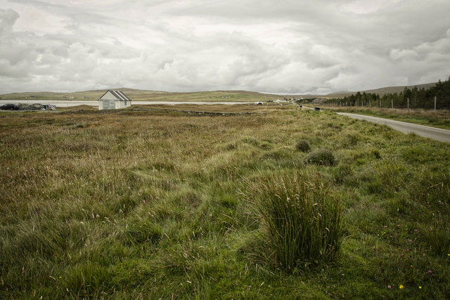
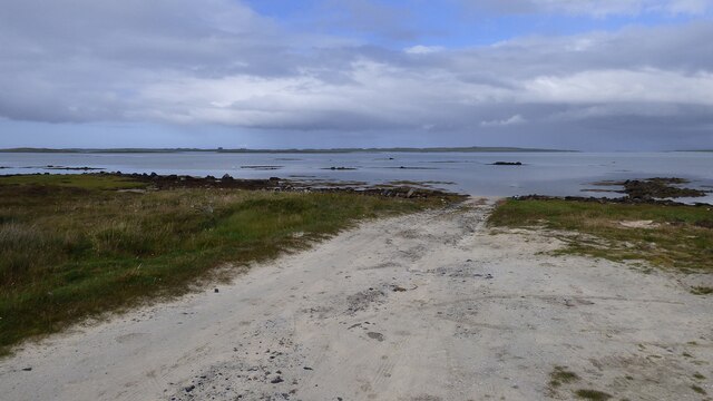
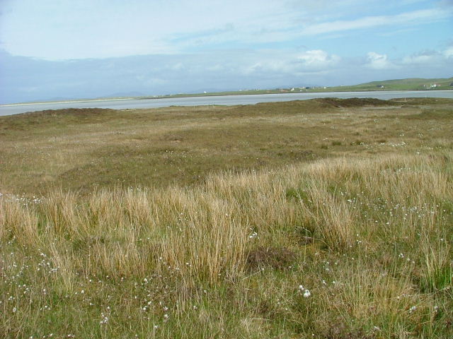
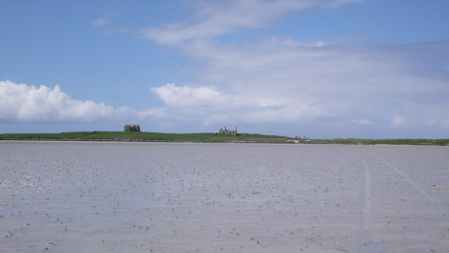
Loch na Gearrachun is a picturesque freshwater loch located in Inverness-shire, Scotland. Nestled amidst the breathtaking natural beauty of the Scottish Highlands, this enchanting water body offers a tranquil and idyllic setting for nature enthusiasts and visitors seeking a serene escape.

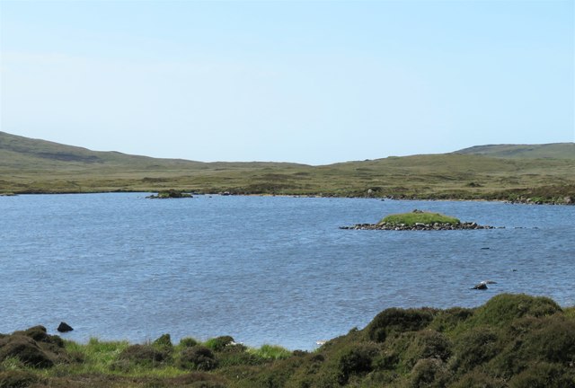
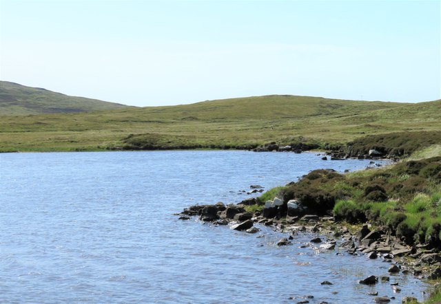
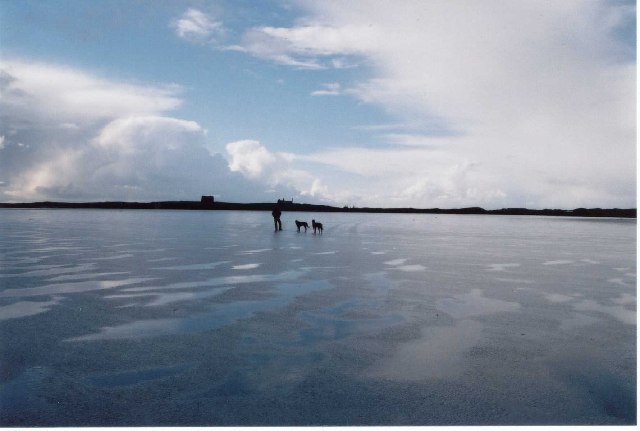
Covering an area of approximately 15 hectares, Loch na Gearrachun boasts crystal-clear waters that reflect the surrounding hills and lush greenery. The loch is primarily fed by small mountain streams, ensuring a constant flow of fresh water. Its depths reach up to 20 meters, providing a suitable habitat for a diverse range of aquatic flora and fauna.

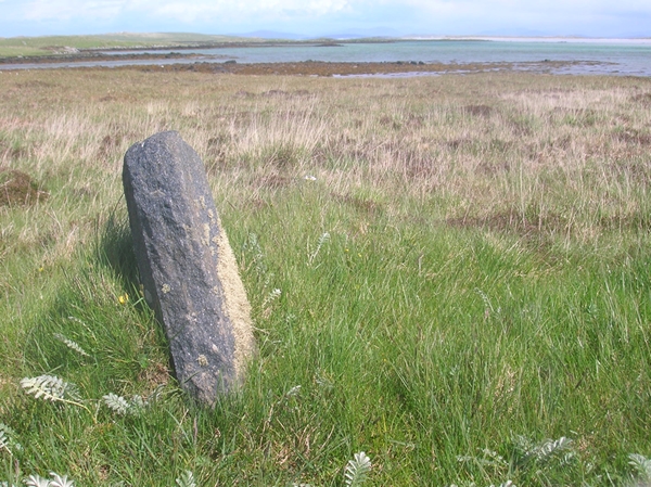
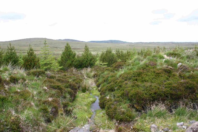
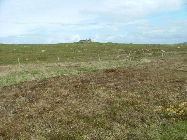
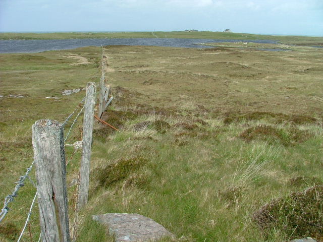
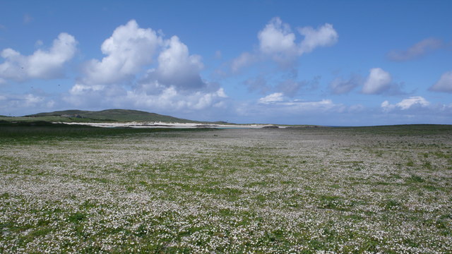
Surrounded by a mix of deciduous and coniferous woodlands, Loch na Gearrachun offers a rich and diverse habitat for various species of wildlife. The loch is known to be home to a variety of fish species, including brown trout and perch, attracting anglers from near and far. Additionally, the loch's shores and wetlands provide a haven for numerous bird species, such as herons, swans, and ducks, making it an ideal spot for birdwatching enthusiasts.

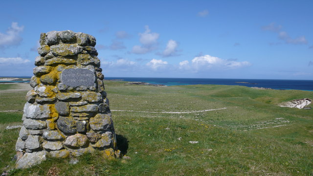
The area surrounding Loch na Gearrachun is also popular among hikers and nature lovers, as it offers stunning panoramic views of the surrounding mountains and valleys. Visitors can explore the nearby walking trails, which meander through the beautiful countryside, providing opportunities to spot wildlife and enjoy the peaceful ambiance.

Overall, Loch na Gearrachun is a hidden gem in Inverness-shire, offering a perfect blend of natural beauty, tranquility, and recreational opportunities for anyone seeking a peaceful retreat in the heart of the Scottish Highlands.

If you have any feedback on the listing, please let us know in the comments section below.

Loch na Gearrachun Images

Images are sourced within 2km of 57.642643/-7.42305 or Grid Reference NF7674. Thanks to Geograph Open Source API. All images are credited.

Àird Glas
Àird Glas
Old Milestone by the A865, Claddach-vallay, North Uist Granite slab by the A865, in parish of North Uist (North Uist District), Claddach-vallay, 100m Southeast of village sign.

Inscription not recorded.

Surveyed

Milestone Society National ID: WI_NUCW12
Old Milestone by the A865, Claddach-vallay, North Uist
Granite slab by the A865, in parish of North Uist (North Uist District), Claddach-vallay, 100m Southeast of village sign. Inscription not recorded. Surveyed Milestone Society National ID: WI_NUCW12
Loch na Gearrachun The tiny island is the site of a dun, whilst the stone causeway leading to it can just be seen to the right.
Loch na Gearrachun
The tiny island is the site of a dun, whilst the stone causeway leading to it can just be seen to the right.
Loch Fada na Gearrachun Small thin loch linked to its larger neighbour by a small channel.
Loch Fada na Gearrachun
Small thin loch linked to its larger neighbour by a small channel.
Road to Vallay This must be one of the longest fords in Britain.
Road to Vallay
This must be one of the longest fords in Britain.
Erskine Beveridge's house on Bhalaigh The abandoned house of the historian Erskine Beveridge.
Erskine Beveridge's house on Bhalaigh
The abandoned house of the historian Erskine Beveridge.
Traigh Bhalaigh The island of Vallay (Bhalaigh), is only accessible by foot at low tide. It is situated on the North of North Uist. The island itself has standing stones and remnants of ancient settlements and the crumbling ruins of Vallay House. This, once grand, building and several outhouses was owned by Erskine Beveridge, who contributed greatly to the archaeology of North Uist and wrote a weighty book on the subject.
Traigh Bhalaigh
The island of Vallay (Bhalaigh), is only accessible by foot at low tide. It is situated on the North of North Uist. The island itself has standing stones and remnants of ancient settlements and the crumbling ruins of Vallay House. This, once grand, building and several outhouses was owned by Erskine Beveridge, who contributed greatly to the archaeology of North Uist and wrote a weighty book on the subject.
Plantation entrance North Uist
Burn running through plantation, North Uist
Cairn on site of Aisled house
Pier with Bhalaigh in the background
Bus Shelter by the Beach Overlooking Ceann a'Báigh.
Bus Shelter by the Beach
Overlooking Ceann a'Báigh.
Machair Looking towards Tràigh Bhàlaigh.
Machair
Looking towards Tràigh Bhàlaigh.
Ruin on the Moorland Looking southwest from the A865.
Ruin on the Moorland
Looking southwest from the A865.
Fence running to Loch Olabhat Houses at Griminis in the distance.
Fence running to Loch Olabhat
Houses at Griminis in the distance.
Bhalaigh House Bhalaigh viewed across Traigh Bhalaigh.  This vast expanse of sand dries to such an extent that at low tide cars can drive across to the island.
Bhalaigh House
Bhalaigh viewed across Traigh Bhalaigh. This vast expanse of sand dries to such an extent that at low tide cars can drive across to the island.
Vallay Machair The machair is such a fine sight, no many how many times you see it.  A mass of wild flowers as far as the eye can see and buzzing with bumblebees and butterflies everywhere.
Vallay Machair
The machair is such a fine sight, no many how many times you see it. A mass of wild flowers as far as the eye can see and buzzing with bumblebees and butterflies everywhere.
George Beveridge Memorial Stone built memorial to George Beveridge 1891 - 1944.
George Beveridge Memorial
Stone built memorial to George Beveridge 1891 - 1944.
Show me another place!

Loch na Gearrachun is located at Grid Ref: NF7674 (Lat: 57.642643, Lng: -7.42305)

Unitary Authority: Na h-Eileanan an Iar

Police Authority: Highlands and Islands

What 3 Words

///flag.surfacing.lifestyle. Near Lochmaddy, Na h-Eileanan Siar

Related Wikis

Eilean Dòmhnuill

Ian Armit identifies the islet of Eilean Dòmhnuill (Scottish Gaelic: Eilean Dòmhnaill, Scottish Gaelic pronunciation: [elan ˈt̪õː.ɪʎ], "The Isle of Donald...

Vallay

Vallay (Scottish Gaelic: Bhàlaigh) is an uninhabited tidal island in the Scottish Outer Hebrides. It can be reached from North Uist by a long beach at...

RRH Benbecula

Remote Radar Head Benbecula or RRH Benbecula, is an air defence radar station operated by the Royal Air Force. It is located at Cleitreabhal a'Deas, 17...

Scolpaig Tower

Scolpaig Tower (also known as Dùn Scolpaig or MacLeod’s Folly) is a Georgian folly located near the village of Scolpaig on the island of North Uist in...

Nearby Amenities

Located within 500m of 57.642643,-7.42305
Passing Place
Lat/Long: 57.6444035/-7.4262689
Passing Place
Lat/Long: 57.6433099/-7.4216518
Passing Place
Lat/Long: 57.6429067/-7.4205853
Passing Place
Lat/Long: 57.640894/-7.4179729
Power: pole
Lat/Long: 57.6402501/-7.4160826
Power: pole
Lat/Long: 57.6407138/-7.416721
Power: pole
Lat/Long: 57.6413368/-7.4175659
Power: pole
Lat/Long: 57.6418967/-7.418341
Power: pole
Lat/Long: 57.6424881/-7.4191055
Power: pole
Lat/Long: 57.6431197/-7.4199799
Power: pole
Lat/Long: 57.643437/-7.4211279
Power: pole
Lat/Long: 57.6437944/-7.4223268
Power: pole
Lat/Long: 57.6441447/-7.4236277
Power: pole
Lat/Long: 57.6447188/-7.4255481
Power: pole
Lat/Long: 57.6451107/-7.4268866
Power: pole
Lat/Long: 57.6454351/-7.4280909
Passing Place
Lat/Long: 57.6438357/-7.4238663
Passing Place
Lat/Long: 57.6451866/-7.4290821
Passing Place
Lat/Long: 57.6424468/-7.4198717
Passing Place
Lat/Long: 57.6437153/-7.4233491
The data included in this document is from www.openstreetmap.org. The data is made available under ODbL.

Have you been to Loch na Gearrachun?

Leave your review of Loch na Gearrachun below (or comments, questions and feedback).