Loch na Liana Mòire

Lake, Pool, Pond, Freshwater Marsh in Inverness-shire

Scotland

Loch na Liana Mòire

Ruin of St Mary's Chapel, Nunton <span class="nowrap"><a title="https://canmore.org.uk/site/9972/benbecula-nunton-ruin-of-st-marys-chapel" rel="nofollow ugc noopener" href="https://canmore.org.uk/site/9972/benbecula-nunton-ruin-of-st-marys-chapel">Link</a><img style="margin-left:2px;" alt="External link" title="External link - shift click to open in new window" src="https://s1.geograph.org.uk/img/external.png" width="10" height="10"/></span>
Ruin of St Mary's Chapel, Nunton Credit: Sandy Gerrard

Loch na Liana Mòire is a small freshwater body located in Inverness-shire, Scotland. It is situated in a scenic and remote area, surrounded by lush green hills and breathtaking natural beauty. The name "Loch na Liana Mòire" translates to "Lake of the Big Linen" in English.

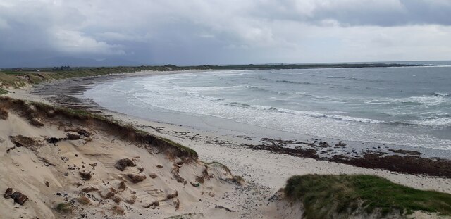
This picturesque loch covers an area of approximately 2 hectares and has a maximum depth of around 3 meters. It is predominantly fed by rainwater and small streams that flow from the surrounding hills. The water in Loch na Liana Mòire is crystal clear and supports a diverse range of aquatic life.

The shores of the loch are lined with a variety of vegetation, including reeds, rushes, and sedges. This creates an ideal habitat for various waterfowl species, such as ducks, swans, and coots, which can often be seen gliding across the calm surface of the loch. The area surrounding the loch is also home to a wide range of bird species, making it a popular spot for birdwatchers.

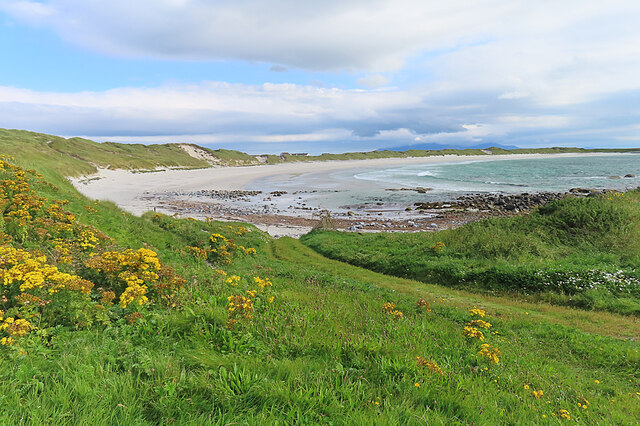
The tranquil atmosphere and stunning surroundings of Loch na Liana Mòire attract nature enthusiasts and outdoor lovers who come to enjoy activities like fishing, picnicking, and walking along the peaceful shoreline. The loch offers a serene escape from the hustle and bustle of urban life, providing visitors with an opportunity to immerse themselves in the serenity of nature.

Overall, Loch na Liana Mòire is a hidden gem in Inverness-shire, offering a peaceful and picturesque setting for those seeking solace amidst nature's beauty.

If you have any feedback on the listing, please let us know in the comments section below.

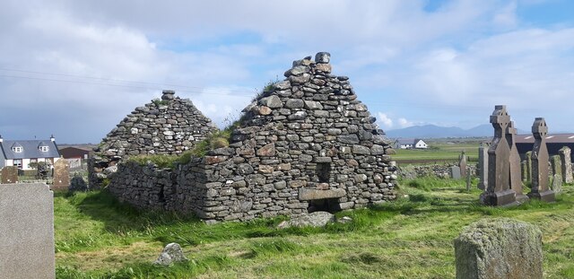
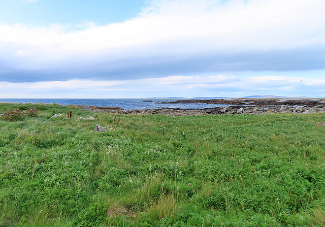
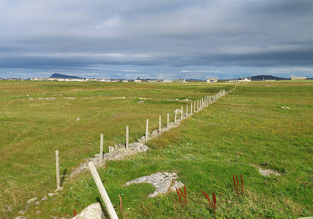
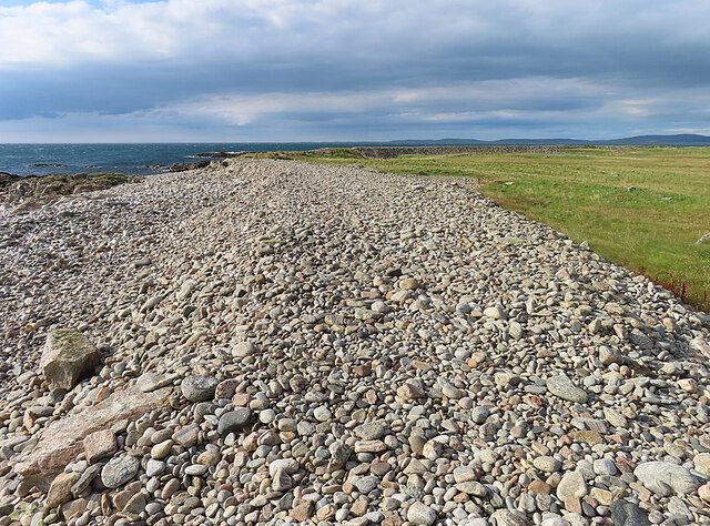
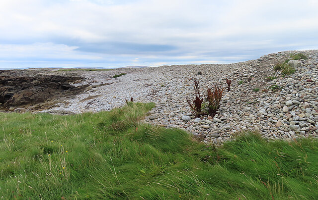
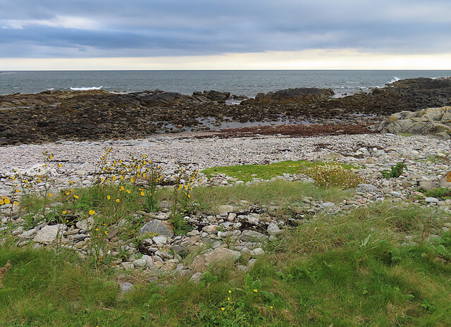
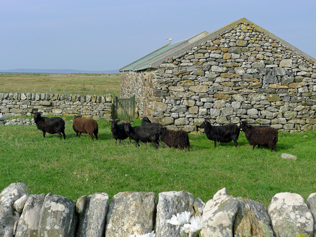
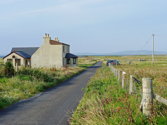
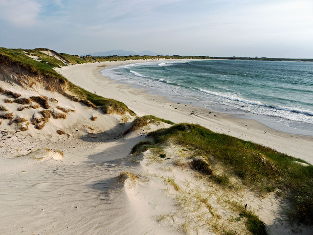
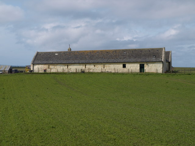
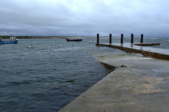
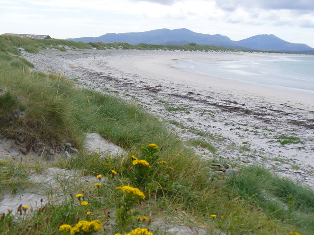
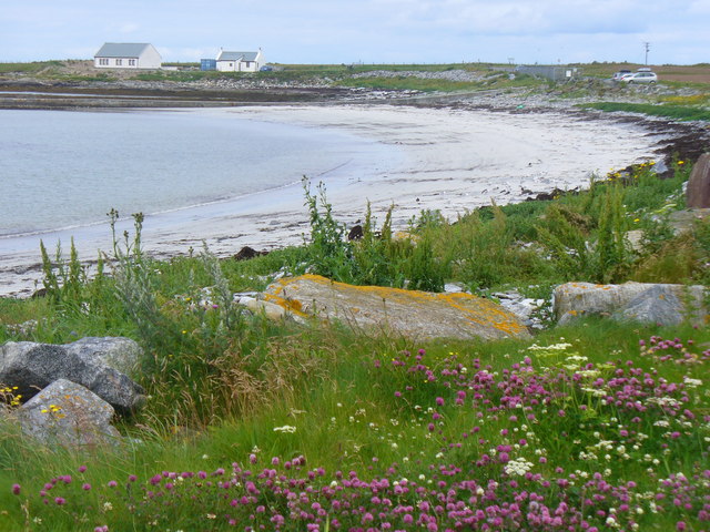
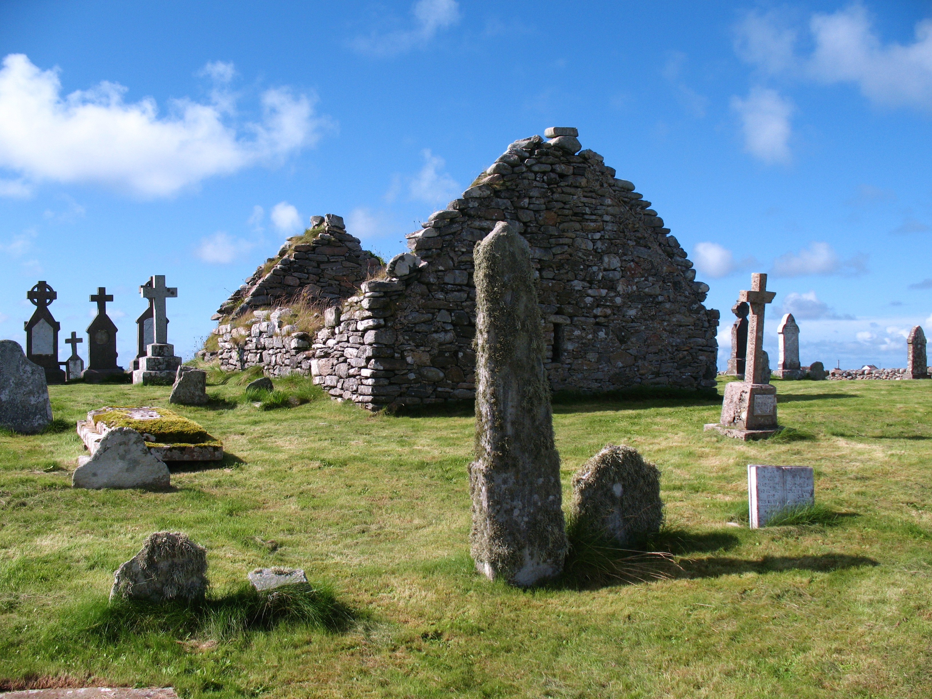
Loch na Liana Mòire Images

Images are sourced within 2km of 57.451971/-7.3947466 or Grid Reference NF7653. Thanks to Geograph Open Source API. All images are credited.

Ruin of St Mary's Chapel, Nunton <span class="nowrap"><a title="https://canmore.org.uk/site/9972/benbecula-nunton-ruin-of-st-marys-chapel" rel="nofollow ugc noopener" href="https://canmore.org.uk/site/9972/benbecula-nunton-ruin-of-st-marys-chapel">Link</a><img style="margin-left:2px;" alt="External link" title="External link - shift click to open in new window" src="https://s1.geograph.org.uk/img/external.png" width="10" height="10"/></span>
Ruin of St Mary's Chapel, Nunton
Sand Dunes at Culla Bay
Culla Bay One of the many fine sandy beaches on the west side of na h-Eileanan an Iar.
Culla Bay
One of the many fine sandy beaches on the west side of na h-Eileanan an Iar.
Machair at Quirnish Machair is fertile land that is formed by sand blown in from the sea.
Machair at Quirnish
Machair is fertile land that is formed by sand blown in from the sea.
Looking towards Aird The foreground field is in this square, but the houses are in the next square. On the horizon, at left, is the distinctive outline of Theacla on South Uist.
Looking towards Aird
The foreground field is in this square, but the houses are in the next square. On the horizon, at left, is the distinctive outline of Theacla on South Uist.
Storm Beach The berm of shingle and pebbles is a storm beach thrown up during westerly storms.
Storm Beach
The berm of shingle and pebbles is a storm beach thrown up during westerly storms.
Storm Beach The berm of shingle and pebbles is a storm beach thrown up during westerly storms.
Storm Beach
The berm of shingle and pebbles is a storm beach thrown up during westerly storms.
Rocky Shore No storm beach has formed on this stretch of the coast because the rocks of the shore break the power of the sea to throw up a berm of pebbles and cobbles.
Rocky Shore
No storm beach has formed on this stretch of the coast because the rocks of the shore break the power of the sea to throw up a berm of pebbles and cobbles.
Hebridean Sheep at Airdbheag, Benbecula Dry stone walling events have been held at Airdbheag and there is evidence in the walls and stone buildings of the skills of dry-stone wallers.
Hebridean Sheep at Airdbheag, Benbecula
Dry stone walling events have been held at Airdbheag and there is evidence in the walls and stone buildings of the skills of dry-stone wallers.
The road through Aird
Culla Bay Reputedly the best beach on Benbecula and worthy of visit any time of the year.  Spot the difference <a href="https://www.geograph.org.uk/photo/2902289">NF7654 : Dunes at the northern end of Culla Bay</a> an April visit compared to this September visit.
Culla Bay
Reputedly the best beach on Benbecula and worthy of visit any time of the year. Spot the difference NF7654 : Dunes at the northern end of Culla Bay an April visit compared to this September visit.
Nunton Steadings Nunton Steadings as seen from the new cemetery opposite Cladh and Teampull Mhuire at Balivanich.
Nunton Steadings
Nunton Steadings as seen from the new cemetery opposite Cladh and Teampull Mhuire at Balivanich.
Cuinabunag jetty
Cuinabunag jetty
Sìdhean Bhuirgh
Sìdhean Bhuirgh
Beach at Cuinabunag
Beach at Cuinabunag
Fishing boats moored off the jetty The nearer boat had just come in after a trip out for crab and lobster.
Fishing boats moored off the jetty
The nearer boat had just come in after a trip out for crab and lobster.
Beach by Peighinn a' Bhaile White sand beach backed by dunes on the west coast of Benbecula. The mountains of South Uist are on the skyline.
<span class="nowrap"><a title="http://www.visithebrides.com/islands/benbecula/" rel="nofollow ugc noopener" href="http://www.visithebrides.com/islands/benbecula/">Link</a><img style="margin-left:2px;" alt="External link" title="External link - shift click to open in new window" src="https://s1.geograph.org.uk/img/external.png" width="10" height="10"/></span>
Beach by Peighinn a' Bhaile
White sand beach backed by dunes on the west coast of Benbecula. The mountains of South Uist are on the skyline. LinkExternal link
Bay by Cuinabunag Sandy bay backed by dunes on the west coast of Benbecula.
<span class="nowrap"><a title="http://www.isle-of-benbecula.co.uk/" rel="nofollow ugc noopener" href="http://www.isle-of-benbecula.co.uk/">Link</a><img style="margin-left:2px;" alt="External link" title="External link - shift click to open in new window" src="https://s1.geograph.org.uk/img/external.png" width="10" height="10"/></span>
Bay by Cuinabunag
Sandy bay backed by dunes on the west coast of Benbecula. LinkExternal link
Show me another place!

Loch na Liana Mòire is located at Grid Ref: NF7653 (Lat: 57.451971, Lng: -7.3947466)

Unitary Authority: Na h-Eileanan an Iar

Police Authority: Highlands and Islands

What 3 Words

///supper.riper.insisting. Near Balivanich, Na h-Eileanan Siar

Related Wikis

Nunton, Benbecula

Nunton (Scottish Gaelic: Baile nan Cailleach) is a settlement on Benbecula in the Outer Hebrides, Scotland. Nunton is within the parish of South Uist,...

Deep Sea Range

The Deep Sea Range is an RAF missile range in the Outer Hebrides. It has also been known as the Hebrides Guided Weapon Range and the South Uist Missile...

Uist and Barra Hospital

Ospadal Uibhist agus Bharraigh (Uist and Barra Hospital) is a community hospital in Benbecula which provides services on the islands of North Uist, South...

Balivanich

Balivanich (Scottish Gaelic: Baile a' Mhanaich [palə ˈvanɪç]) is a village on the island of Benbecula in the Outer Hebrides off the west coast of Scotland...

Nearby Amenities

Located within 500m of 57.451971,-7.3947466
Entrance: main
Lat/Long: 57.4560764/-7.3971767
Bicycle Parking
Access: customers
Bicycle Parking: wall_loops
Capacity: 5
Covered: yes
Operator: Nunton House Hostel
Lat/Long: 57.456057/-7.3974842
Dun Torcusay
Historic: ruins
Website: https://canmore.org.uk/site/9973/benbecula-dun-torcusay
Lat/Long: 57.452502/-7.4011712
Ford: yes
Lat/Long: 57.4537957/-7.3930922
The data included in this document is from www.openstreetmap.org. The data is made available under ODbL.

Have you been to Loch na Liana Mòire?

Leave your review of Loch na Liana Mòire below (or comments, questions and feedback).