Loch a' Mhadaidh

Lake, Pool, Pond, Freshwater Marsh in Inverness-shire

Scotland

Loch a' Mhadaidh

Mouth of the Howmore River, South Uist The only river of any size on South Uist, it drains several machair lochs. The OS map shows normal tides as flowing as far upstream as the first bridge above the beach but spring tides can often reach considerably further upstream, giving migrating fish a good push on their way upstream to spawn.
Mouth of the Howmore River, South Uist Credit: AlastairG

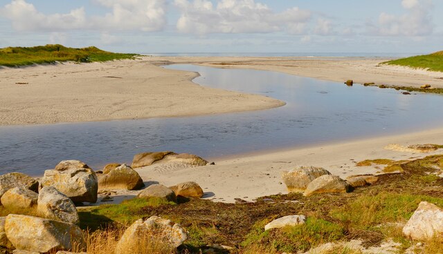
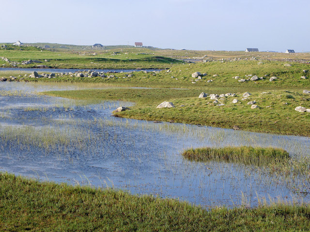
Loch a' Mhadaidh, located in Inverness-shire, Scotland, is a picturesque freshwater loch encompassing an area of approximately 1.5 hectares. Also known as a "lake," "pool," or "pond," this serene waterbody is nestled amidst the breathtaking Scottish Highlands.

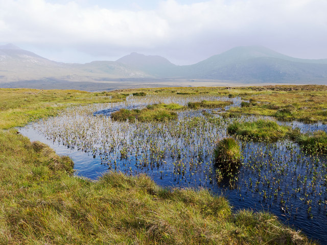
The loch is surrounded by lush greenery, making it a haven for wildlife and a popular destination for nature enthusiasts. The tranquil waters of Loch a' Mhadaidh are fed by natural springs and rainfall, ensuring a constant supply of freshwater. Its depth varies, with the deepest point reaching around 10 meters.

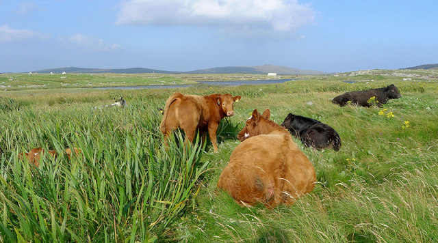
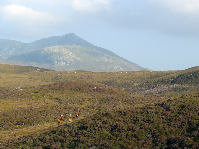
The surrounding landscape is characterized by rolling hills and dense forests, providing a stunning backdrop to the loch. The diverse flora and fauna found in and around Loch a' Mhadaidh make it a thriving ecosystem. Visitors can spot a variety of waterfowl, including ducks, geese, and swans, as well as numerous species of fish, such as trout and perch.

The loch's shores are home to an array of plant life, including reeds, water lilies, and other marsh vegetation. This freshwater marsh ecosystem plays a crucial role in maintaining water quality and providing habitat for a range of amphibians, insects, and small mammals.

Surrounded by the tranquility of nature, Loch a' Mhadaidh offers a peaceful retreat for those seeking solace or looking to engage in activities such as fishing, boating, or simply enjoying a leisurely stroll along the water's edge. Its natural beauty and diverse ecosystem make it a captivating destination for nature lovers and a valuable asset to the Inverness-shire region.

If you have any feedback on the listing, please let us know in the comments section below.

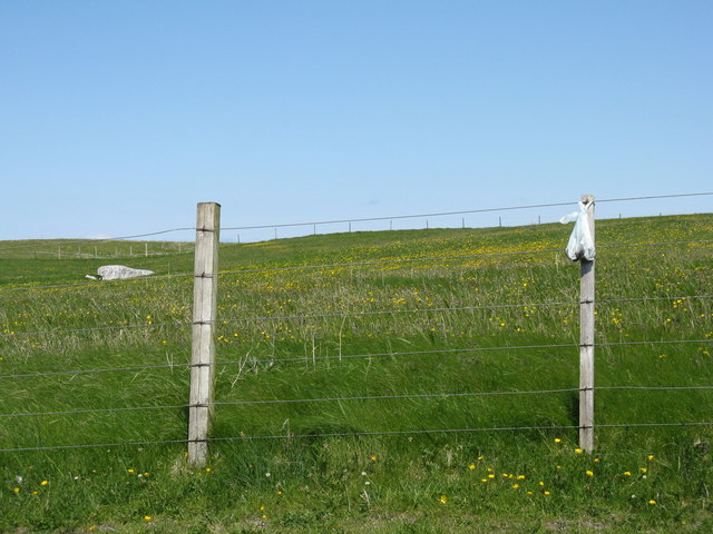
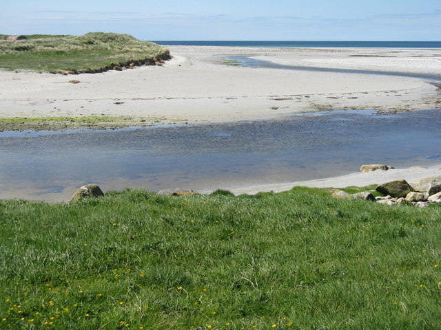
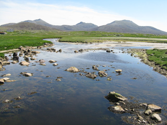
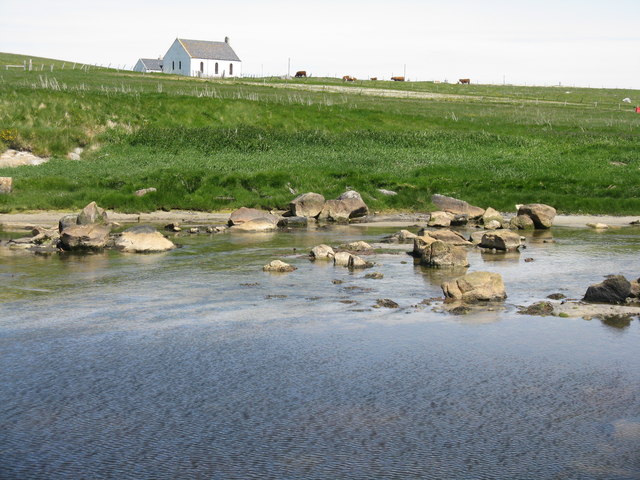
Loch a' Mhadaidh Images

Images are sourced within 2km of 57.293287/-7.3768699 or Grid Reference NF7635. Thanks to Geograph Open Source API. All images are credited.
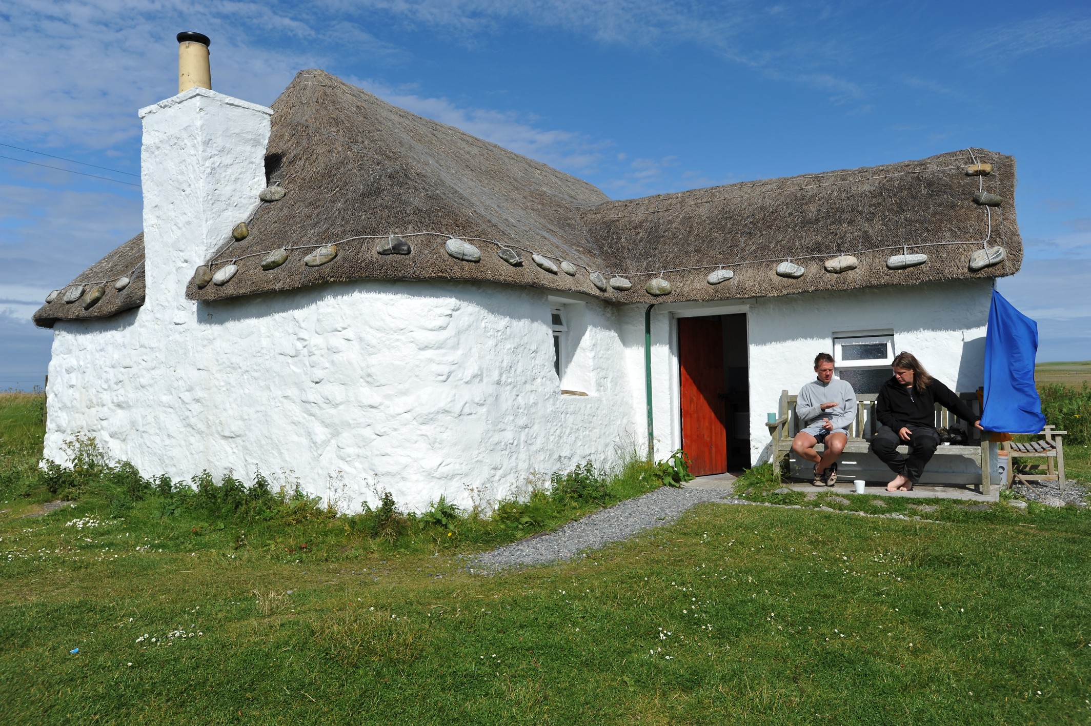
Mouth of the Howmore River, South Uist The only river of any size on South Uist, it drains several machair lochs. The OS map shows normal tides as flowing as far upstream as the first bridge above the beach but spring tides can often reach considerably further upstream, giving migrating fish a good push on their way upstream to spawn.
Mouth of the Howmore River, South Uist
The only river of any size on South Uist, it drains several machair lochs. The OS map shows normal tides as flowing as far upstream as the first bridge above the beach but spring tides can often reach considerably further upstream, giving migrating fish a good push on their way upstream to spawn.
Cows on the machair, Howmore
Chambered Cairn below Hatharsal, South Uist A patch of green surrounds the remains of the chambered cairn.  Deer were seen closeby.
Chambered Cairn below Hatharsal, South Uist
A patch of green surrounds the remains of the chambered cairn. Deer were seen closeby.
Lochan on the side of Hatharsal Looking towards the main peaks of South Uist, Hecla, Beinn Chorodail and Beinn Mhor.
Lochan on the side of Hatharsal
Looking towards the main peaks of South Uist, Hecla, Beinn Chorodail and Beinn Mhor.
View from the road to the Howmore Youth Hostel Interlocking stretches of water are seen in this fertile terrain.  Isolated croft houses dot the countryside.
View from the road to the Howmore Youth Hostel
Interlocking stretches of water are seen in this fertile terrain. Isolated croft houses dot the countryside.
September flowers on the machair A vigorous stand that brightened up the green machair.
September flowers on the machair
A vigorous stand that brightened up the green machair.
Red deer on Hatharsal, South Uist Suddenly I was within feet of them.  Apparently neither I nor they had sensed the approach. Hecla looms behind.
Red deer on Hatharsal, South Uist
Suddenly I was within feet of them. Apparently neither I nor they had sensed the approach. Hecla looms behind.
Machair and sea - that's South Uist!
Picnic area by the Howmore River And yet another silver sand Hebridean beach.
Picnic area by the Howmore River
And yet another silver sand Hebridean beach.
The Howmore River Flowing into the Atlantic just downstream from Tobha Mòr/Howmore. The path leads round to the southern end of a 10km beach.
The Howmore River
Flowing into the Atlantic just downstream from Tobha Mòr/Howmore. The path leads round to the southern end of a 10km beach.
Litter disposal on the machair The habits of some dog walkers are beyond polite comment!
Litter disposal on the machair
The habits of some dog walkers are beyond polite comment!
Bun na Feathlach and the Howmore River Heading through fine sands into the Atlantic Ocean.
Bun na Feathlach and the Howmore River
Heading through fine sands into the Atlantic Ocean.
The Howmore River, South Uist Looking upstream to where it is joined by the Leacach How, with the eastern hills of Hecla/Thacla, Beinn Choradail and Beinn Mhor about 7km away.
The Howmore River, South Uist
Looking upstream to where it is joined by the Leacach How, with the eastern hills of Hecla/Thacla, Beinn Choradail and Beinn Mhor about 7km away.
Grazing at Howmore Looking from the Howmore River to the Church of Scotland at Howmore. The eastern hills of Hecla/Thacla, Beinn Choradail and Beinn Mhor are 7km away.
Grazing at Howmore
Looking from the Howmore River to the Church of Scotland at Howmore. The eastern hills of Hecla/Thacla, Beinn Choradail and Beinn Mhor are 7km away.
Bridge over the Howmore River The bridge carries a track that allows access to the coastal path.
Bridge over the Howmore River
The bridge carries a track that allows access to the coastal path.
Bacon and eggs at Howmore Also known as Birdsfoot-trefoil [Lotus corniculatus]. On sandy soil on the parapet of a bridge crossing the Howmore River.
Bacon and eggs at Howmore
Also known as Birdsfoot-trefoil [Lotus corniculatus]. On sandy soil on the parapet of a bridge crossing the Howmore River.
Church of Scotland at Howmore/Tobha Mòr The rather plain interior, seen from the balcony.
Church of Scotland at Howmore/Tobha Mòr
The rather plain interior, seen from the balcony.
Pasture at Howmore Looking across to
Pasture at Howmore
Looking across to
Show me another place!

Loch a' Mhadaidh is located at Grid Ref: NF7635 (Lat: 57.293287, Lng: -7.3768699)

Unitary Authority: Na h-Eileanan an Iar

Police Authority: Highlands and Islands

What 3 Words

///deferring.restores.arrival. Near Lochboisdale, Na h-Eileanan Siar

Related Wikis

Howmore

Howmore (Scottish Gaelic: Togh Mòr / Tobha Mor) lies on the island of South Uist to the southwest of Loch Druidibeg. The mountain of Haarsal rises to 139...

Stoneybridge

Stoneybridge (Scottish Gaelic: Staoinebrig) is a village on the island of South Uist in Scotland. The Crois Chnoca Breaca standing stone is situated to...

South Uist Machair and Lochs

The South Uist Machair and Lochs is a protected wetland area on the west coast of South Uist in the Outer Hebrides of Scotland. A total of 5,019 hectares...

Loch Druidibeg

Loch Druidibeag is a freshwater loch situated on the island of South Uist, in the Outer Hebrides of Scotland. The loch is near the northern end of the...

Nearby Amenities

Located within 500m of 57.293287,-7.3768699
Passing Place
Lat/Long: 57.2914044/-7.3764061
Bus Stop
Howbeg
Naptan AtcoCode: 6010731691
Naptan Bearing: NW
Naptan CommonName: Howbeg
Naptan Indicator: Village
Naptan Landmark: Village
Naptan NaptanCode: 94723452
Naptan Street: Village
Naptan Verified: no
Source: naptan_import
Lat/Long: 57.2927101/-7.3806616
Tobha Beag
Name En: Howbeg
Name Gd: Tobha Beag
Place: village
Lat/Long: 57.2928236/-7.3798111
Power: pole
Lat/Long: 57.2974331/-7.3790147
Power: pole
Lat/Long: 57.2960774/-7.3792307
Power: pole
Lat/Long: 57.2955414/-7.3792352
Power: pole
Lat/Long: 57.2948386/-7.379217
Power: pole
Lat/Long: 57.2943681/-7.3793017
Power: pole
Lat/Long: 57.2936652/-7.3793929
Power: pole
Lat/Long: 57.2930144/-7.3794868
Power: pole
Lat/Long: 57.2923275/-7.3793232
Power: pole
Lat/Long: 57.2915332/-7.3793433
Power: pole
Lat/Long: 57.2905288/-7.3795109
Power: pole
Lat/Long: 57.2899142/-7.3796262
Power: pole
Lat/Long: 57.289362/-7.3797308
Power: pole
Lat/Long: 57.2943668/-7.3829196
Power: pole
Lat/Long: 57.2943624/-7.381895
Power: pole
Lat/Long: 57.2943668/-7.3807444
Power: pole
Lat/Long: 57.294361/-7.3796768
Power: pole
Lat/Long: 57.2944088/-7.3758761
Power: pole
Lat/Long: 57.2944016/-7.3766728
Power: pole
Lat/Long: 57.29439/-7.3773782
Power: pole
Lat/Long: 57.2943842/-7.3781453
Power: pole
Lat/Long: 57.2944407/-7.3738591
Power: pole
Lat/Long: 57.294419/-7.3748623
Power: pole
Lat/Long: 57.2944494/-7.3727514
Power: pole
Lat/Long: 57.2944624/-7.3721023
Power: pole
Lat/Long: 57.2919446/-7.3792712
Power: pole
Lat/Long: 57.292333/-7.3787495
Barrier: cattle_grid
Lat/Long: 57.2923395/-7.3786623
Generator Method: photovoltaic
Generator Output Electricity: small_installation
Generator Source: solar
Generator Type: solar_photovoltaic_panel
Power: generator
Lat/Long: 57.2921294/-7.3786315
Turning Circle
Lat/Long: 57.2917315/-7.3758192
Power: pole
Lat/Long: 57.2912815/-7.3758983
Entrance: yes
Lat/Long: 57.2964986/-7.3785237
The data included in this document is from www.openstreetmap.org. The data is made available under ODbL.

Have you been to Loch a' Mhadaidh?

Leave your review of Loch a' Mhadaidh below (or comments, questions and feedback).