Eilean Dubh-fraoich
Island in Inverness-shire
Scotland
Eilean Dubh-fraoich
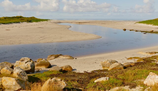
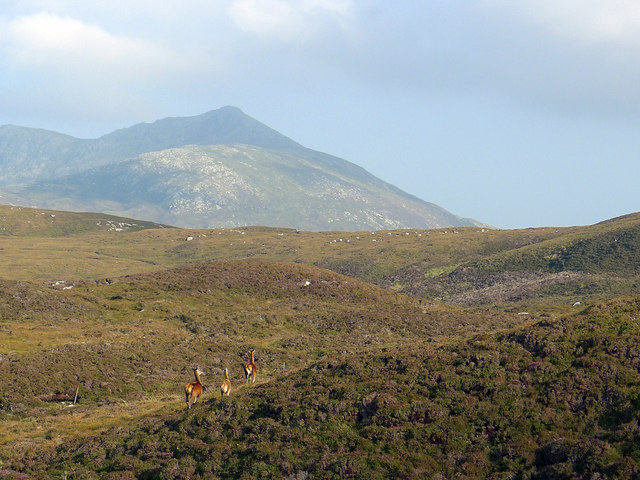
Eilean Dubh-fraoich is a small, uninhabited island located off the northwest coast of Scotland in Inverness-shire. Also known as the Isle of Black Heather, it is situated within the Inner Hebrides archipelago. The island spans an area of approximately 20 acres and is characterized by its rugged and rocky landscape.
The name Eilean Dubh-fraoich is derived from Gaelic, with "eilean" meaning island, "dubh" referring to black, and "fraoich" representing heather. This name perfectly encapsulates the island's natural beauty, as it is covered in a dense blanket of dark heather, giving it a unique and striking appearance.
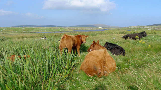
Despite its small size, Eilean Dubh-fraoich attracts nature enthusiasts and hikers who come to explore its diverse flora and fauna. The island is home to a variety of bird species, including puffins, guillemots, and razorbills, making it a popular spot for birdwatching. Seals can also be spotted lounging on the rocks surrounding the island.
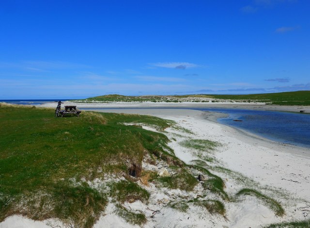
Access to Eilean Dubh-fraoich is limited, and there are no formal ferry services or accommodations available on the island. However, visitors can take boat trips from nearby ports to enjoy the scenic views of the island from the water. It is important to note that the island is protected as a nature reserve, and visitors are advised to adhere to conservation guidelines and leave no trace.
In summary, Eilean Dubh-fraoich is a picturesque island in Inverness-shire, Scotland, known for its black heather-covered landscape and diverse wildlife.
If you have any feedback on the listing, please let us know in the comments section below.
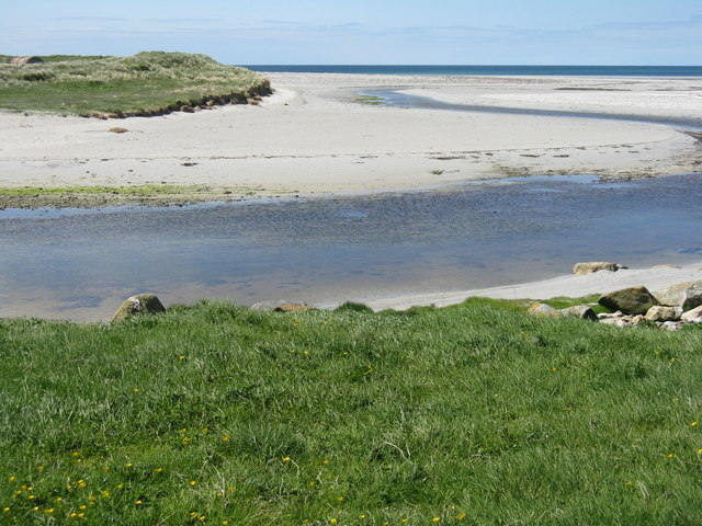
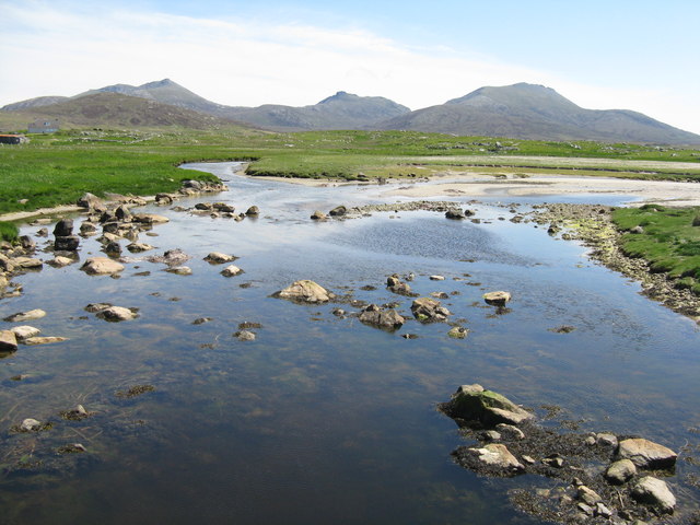
Eilean Dubh-fraoich Images
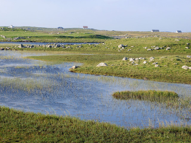
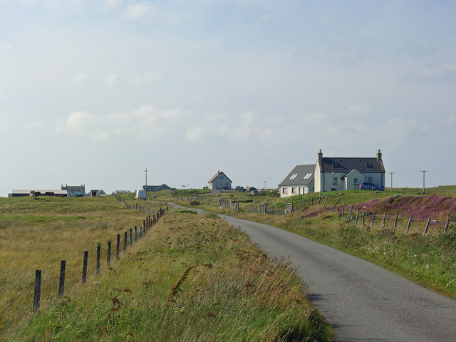
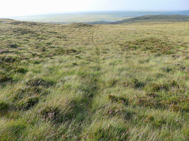
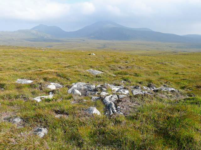
Images are sourced within 2km of 57.296037/-7.3672817 or Grid Reference NF7635. Thanks to Geograph Open Source API. All images are credited.
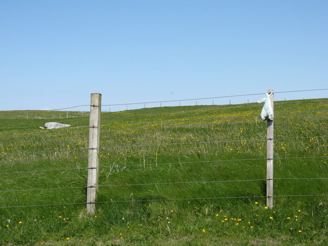
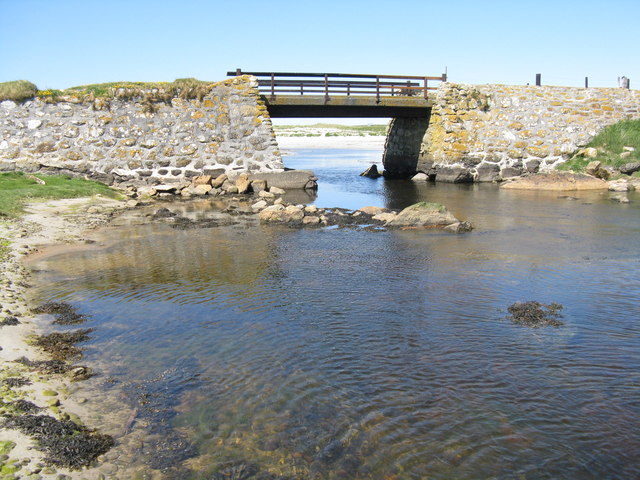
![Bacon and eggs at Howmore Also known as Birdsfoot-trefoil [Lotus corniculatus]. On sandy soil on the parapet of a bridge crossing the Howmore River.](https://s1.geograph.org.uk/geophotos/04/99/79/4997997_76715694.jpg)
Eilean Dubh-fraoich is located at Grid Ref: NF7635 (Lat: 57.296037, Lng: -7.3672817)
Unitary Authority: Na h-Eileanan an Iar
Police Authority: Highlands and Islands
What 3 Words
///rattled.nuzzled.duos. Near Lochboisdale, Na h-Eileanan Siar
Related Wikis
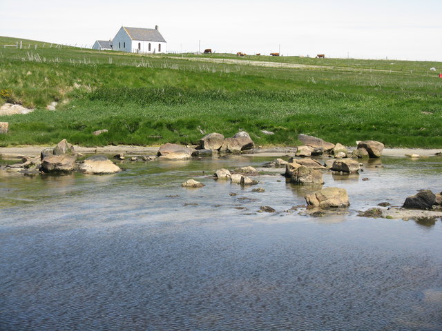
Howmore
Howmore (Scottish Gaelic: Togh Mòr / Tobha Mor) lies on the island of South Uist to the southwest of Loch Druidibeg. The mountain of Haarsal rises to 139...

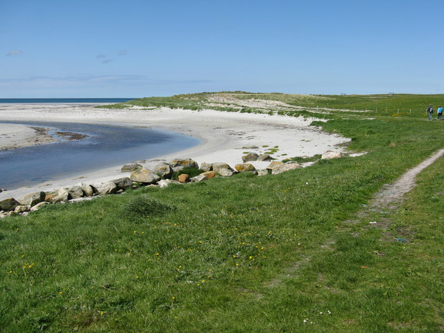
South Uist Machair and Lochs
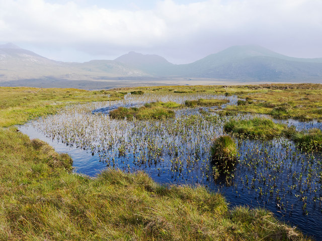
The South Uist Machair and Lochs is a protected wetland area on the west coast of South Uist in the Outer Hebrides of Scotland. A total of 5,019 hectares...
Stoneybridge
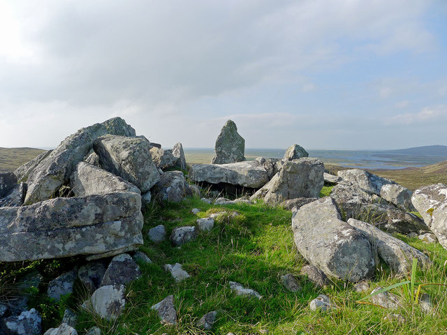
Stoneybridge (Scottish Gaelic: Staoinebrig) is a village on the island of South Uist in Scotland. The Crois Chnoca Breaca standing stone is situated to...

Loch Druidibeg
Loch Druidibeag is a freshwater loch situated on the island of South Uist, in the Outer Hebrides of Scotland. The loch is near the northern end of the...
Nearby Amenities
Located within 500m of 57.296037,-7.3672817Have you been to Eilean Dubh-fraoich?
Leave your review of Eilean Dubh-fraoich below (or comments, questions and feedback).