Eilean an t-Sagairt
Island in Inverness-shire
Scotland
Eilean an t-Sagairt
Eilean an t-Sagairt, also known as Priest Island, is a small uninhabited island located off the west coast of Inverness-shire, Scotland. Situated in Loch Moidart, it covers an area of around 33 acres.
The island's name, Eilean an t-Sagairt, translates to "Island of the Priest" in Gaelic, which hints at its historical significance. It is believed that the island was once used as a retreat for priests during the medieval period, providing them with solitude and a peaceful environment for prayer and contemplation.
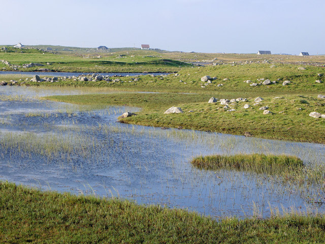
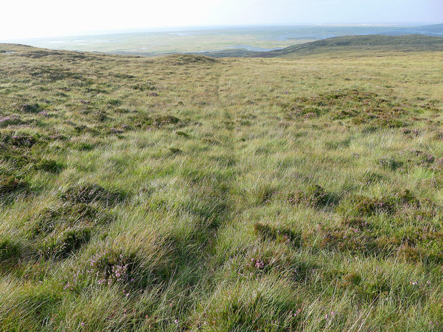
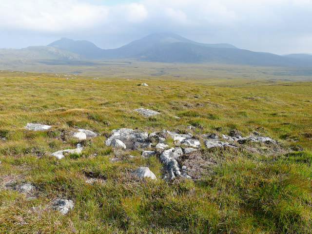
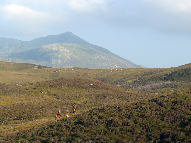
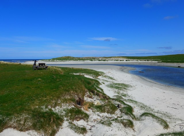
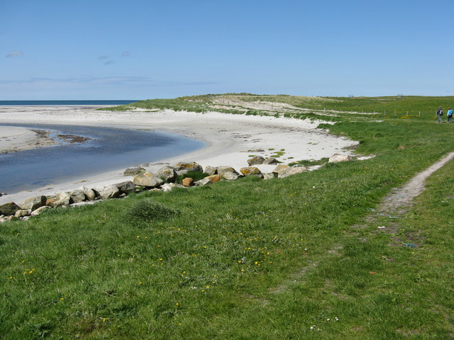
The island boasts a picturesque landscape with rugged cliffs, rocky shores, and a variety of plant and animal life. It is home to several seabird colonies, including guillemots, razorbills, and fulmars, making it a popular spot for birdwatching enthusiasts.
Access to Eilean an t-Sagairt is possible via boat or kayak, although caution must be exercised due to strong tidal currents in the surrounding area. Visitors are advised to be mindful of the fragile ecosystem and to leave no trace behind.
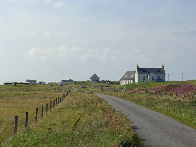
Due to its historical and natural significance, Eilean an t-Sagairt attracts visitors looking for a peaceful retreat, as well as those interested in exploring Scotland's rich heritage and natural beauty. It offers a unique opportunity to experience the tranquility of an uninhabited island while immersing oneself in history and nature.
If you have any feedback on the listing, please let us know in the comments section below.
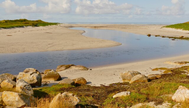
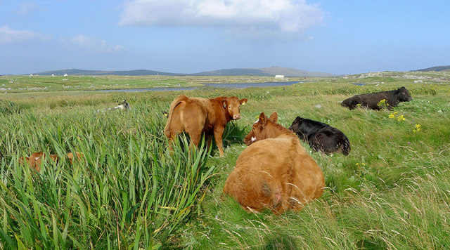
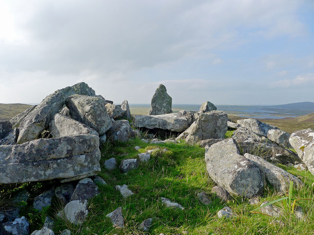
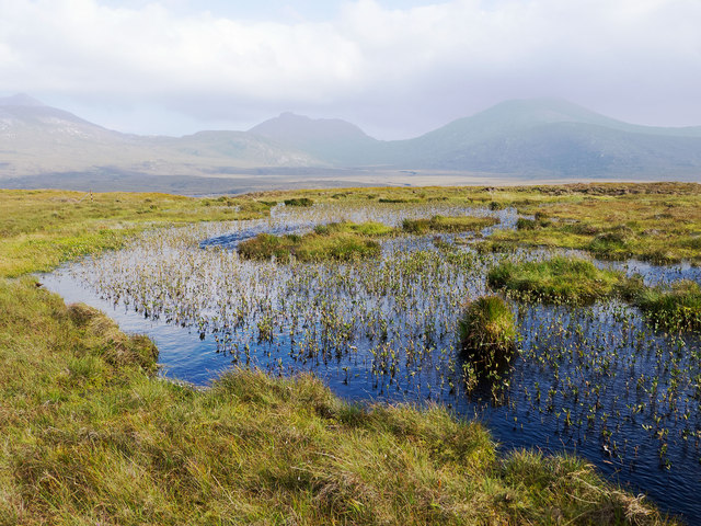
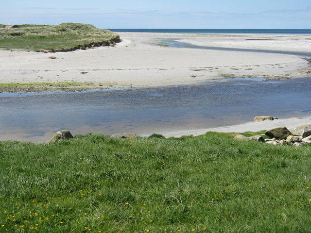
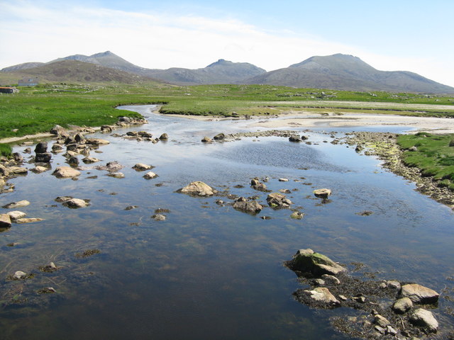
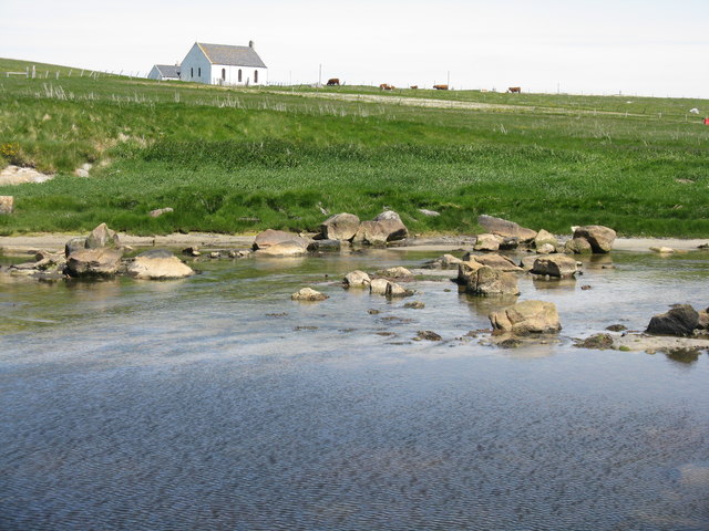
Eilean an t-Sagairt Images
Images are sourced within 2km of 57.29695/-7.3678305 or Grid Reference NF7635. Thanks to Geograph Open Source API. All images are credited.

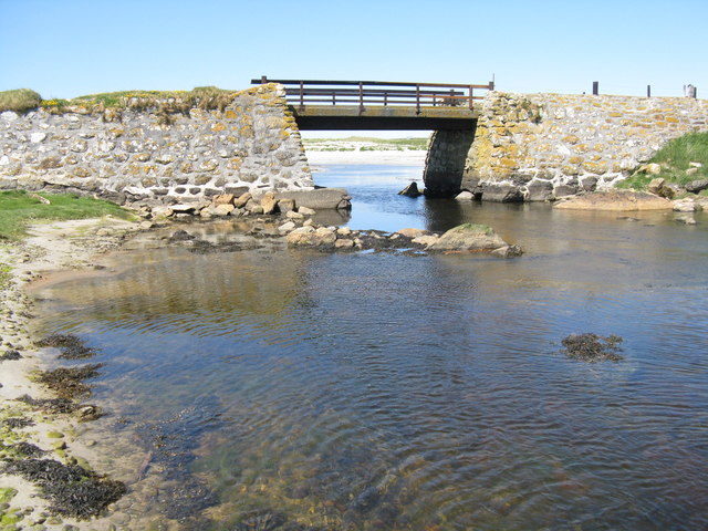
![Bacon and eggs at Howmore Also known as Birdsfoot-trefoil [Lotus corniculatus]. On sandy soil on the parapet of a bridge crossing the Howmore River.](https://s1.geograph.org.uk/geophotos/04/99/79/4997997_76715694.jpg)
Eilean an t-Sagairt is located at Grid Ref: NF7635 (Lat: 57.29695, Lng: -7.3678305)
Unitary Authority: Na h-Eileanan an Iar
Police Authority: Highlands and Islands
What 3 Words
///data.rules.rises. Near Lochboisdale, Na h-Eileanan Siar
Related Wikis
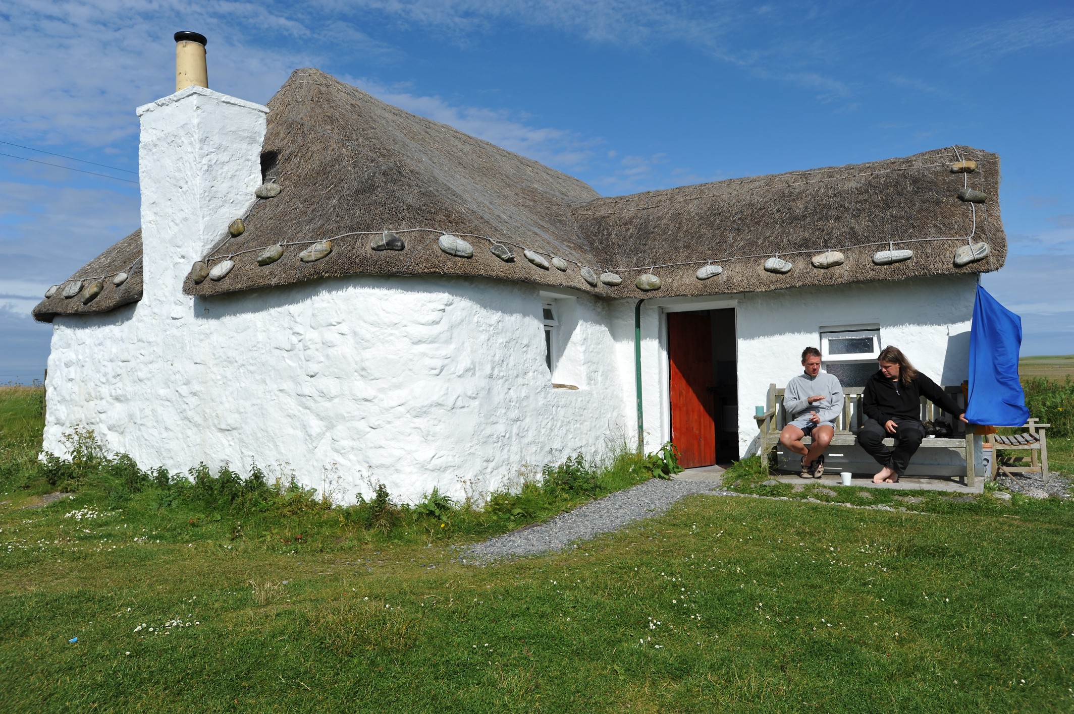
Howmore
Howmore (Scottish Gaelic: Togh Mòr / Tobha Mor) lies on the island of South Uist to the southwest of Loch Druidibeg. The mountain of Haarsal rises to 139...

South Uist Machair and Lochs
The South Uist Machair and Lochs is a protected wetland area on the west coast of South Uist in the Outer Hebrides of Scotland. A total of 5,019 hectares...
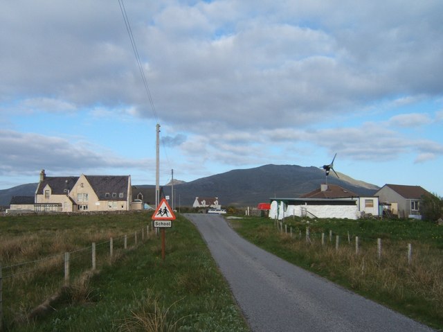
Stoneybridge
Stoneybridge (Scottish Gaelic: Staoinebrig) is a village on the island of South Uist in Scotland. The Crois Chnoca Breaca standing stone is situated to...

Loch Druidibeg
Loch Druidibeag is a freshwater loch situated on the island of South Uist, in the Outer Hebrides of Scotland. The loch is near the northern end of the...

South Uist
South Uist (Scottish Gaelic: Uibhist a Deas, [ˈɯ.ɪʃtʲ ə ˈtʲes̪] ; Scots: Sooth Uist) is the second-largest island of the Outer Hebrides in Scotland. At...

Ormacleit Castle
Ormacleit Castle (Scottish Gaelic: Caisteal Ormacleit) is a ruined mansion house of the early 18th century. It is located on South Uist in the Western...

Our Lady of the Isles
Our Lady of the Isles (Gaelic: Moire ro Naomh nan Eilean or Bana Thighearna nan Eilean) is a sculpture of the Madonna and Child, on South Uist in the Outer...

Hecla (South Uist)
Hecla or Thacla is a mountain on the island of South Uist in the Outer Hebrides of Scotland. With a height of 606 metres (1,988 ft), it is the second-highest...
Nearby Amenities
Located within 500m of 57.29695,-7.3678305Have you been to Eilean an t-Sagairt?
Leave your review of Eilean an t-Sagairt below (or comments, questions and feedback).