Cnoc Buidhe

Hill, Mountain in Inverness-shire

Scotland

Cnoc Buidhe

Mouth of the Howmore River, South Uist The only river of any size on South Uist, it drains several machair lochs. The OS map shows normal tides as flowing as far upstream as the first bridge above the beach but spring tides can often reach considerably further upstream, giving migrating fish a good push on their way upstream to spawn.
Mouth of the Howmore River, South Uist Credit: AlastairG

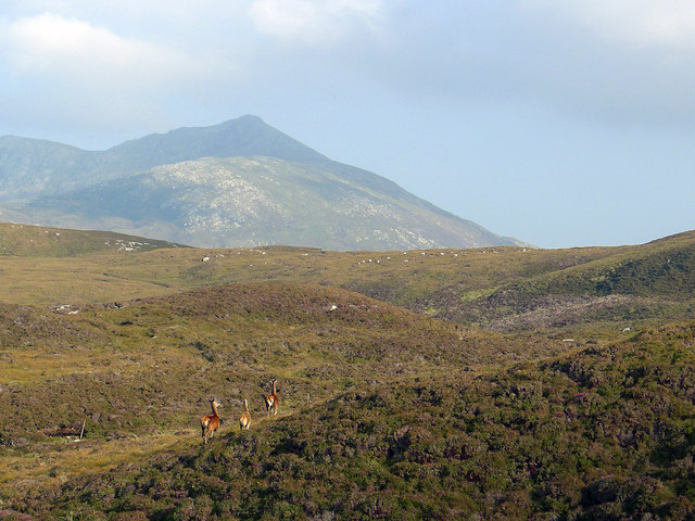
Cnoc Buidhe is a hill located in Inverness-shire, Scotland. It is part of the larger Scottish Highlands region, known for its rugged terrain and stunning natural beauty. Cnoc Buidhe stands at an elevation of approximately 453 meters (1,486 feet) above sea level, making it a relatively modest peak compared to some of the taller mountains in the area.

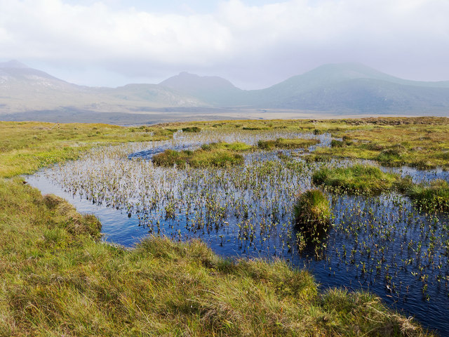
The hill is characterized by its rolling slopes, covered in heather, grasses, and rocky outcrops. It offers panoramic views of the surrounding countryside, including nearby lochs and glens, as well as the distant peaks of the Highlands.

Cnoc Buidhe is a popular destination for hikers and outdoor enthusiasts, who come to explore its peaceful surroundings and enjoy the fresh mountain air. The hill can be accessed by a number of footpaths and trails, making it suitable for hikers of all levels of experience.

Overall, Cnoc Buidhe is a picturesque and accessible hill in the heart of the Scottish Highlands, offering visitors a chance to experience the natural beauty and tranquility of this stunning region.

If you have any feedback on the listing, please let us know in the comments section below.
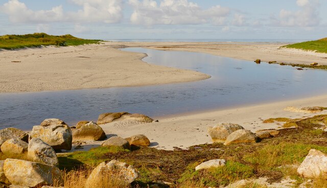
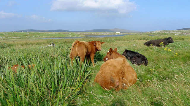
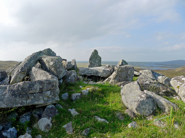
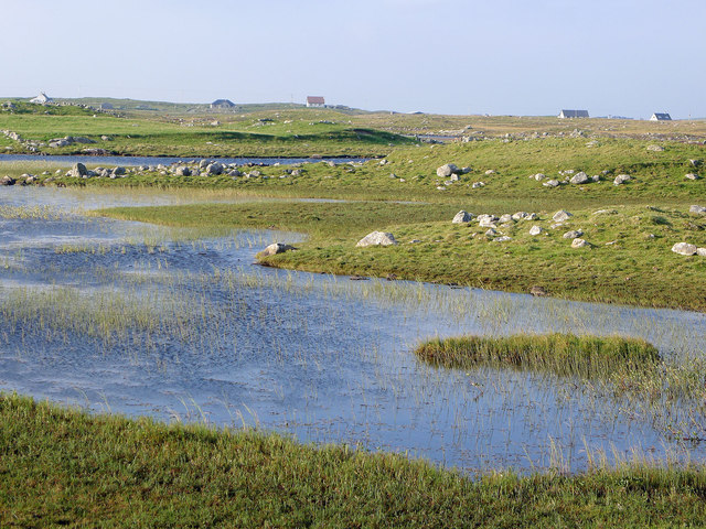
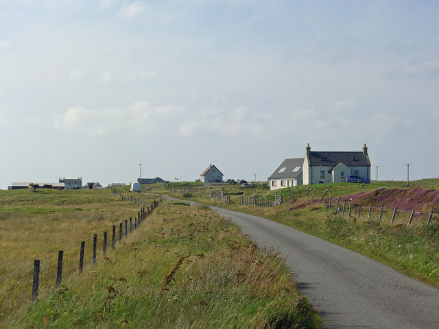
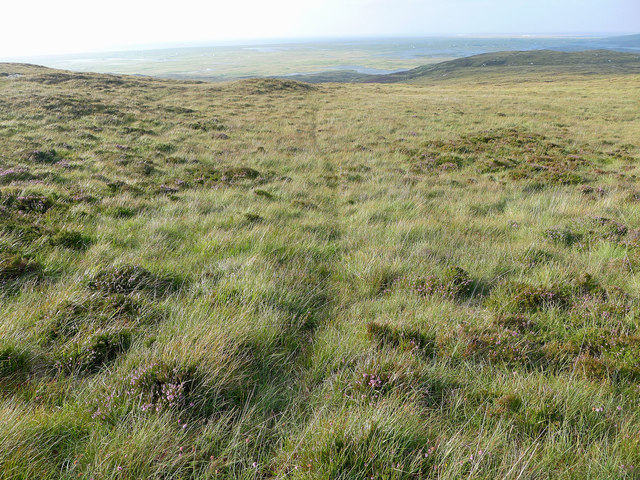
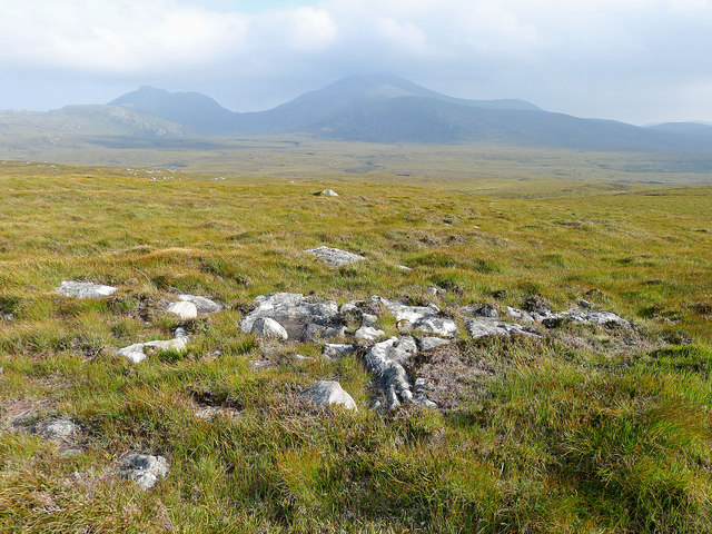
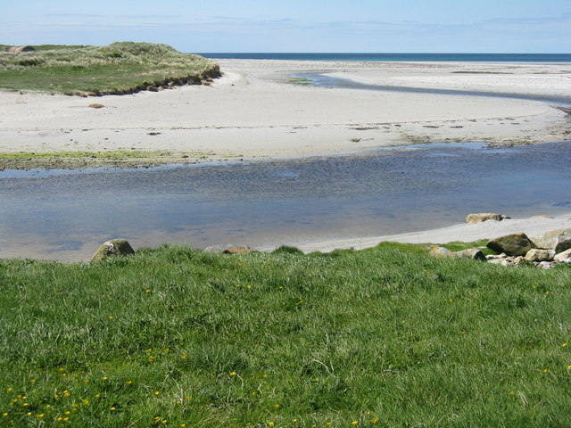
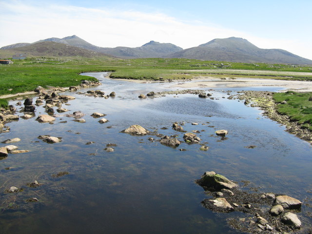
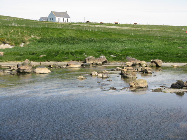
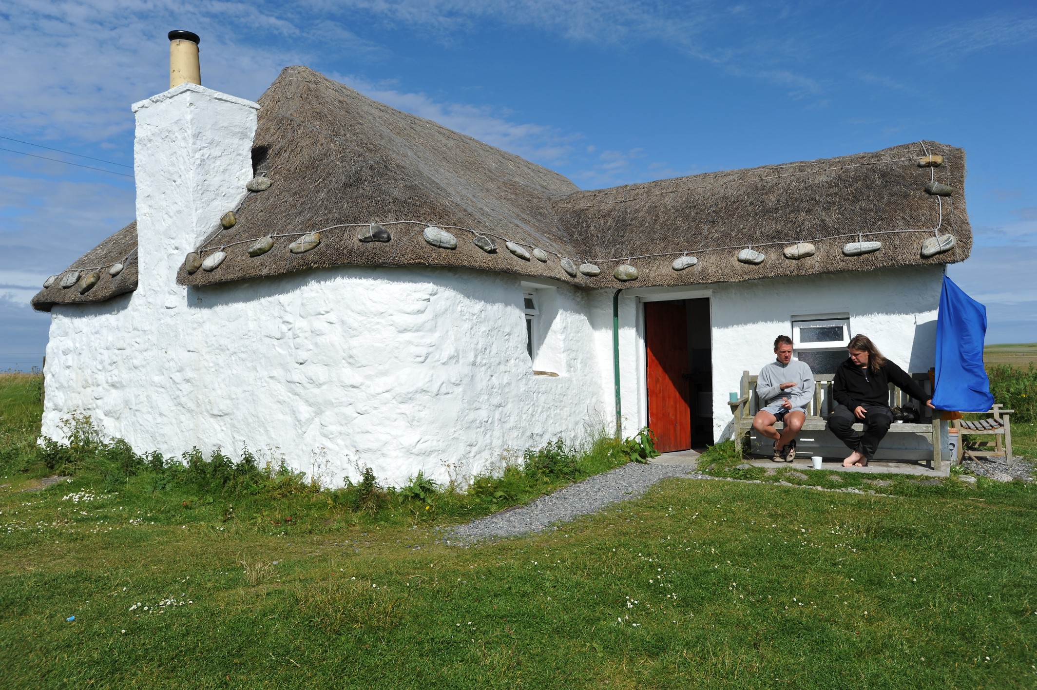
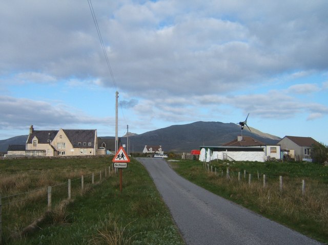
Cnoc Buidhe Images

Images are sourced within 2km of 57.295172/-7.3721422 or Grid Reference NF7635. Thanks to Geograph Open Source API. All images are credited.
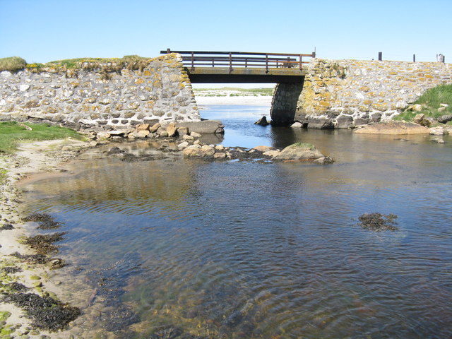
Mouth of the Howmore River, South Uist The only river of any size on South Uist, it drains several machair lochs. The OS map shows normal tides as flowing as far upstream as the first bridge above the beach but spring tides can often reach considerably further upstream, giving migrating fish a good push on their way upstream to spawn.
Mouth of the Howmore River, South Uist
The only river of any size on South Uist, it drains several machair lochs. The OS map shows normal tides as flowing as far upstream as the first bridge above the beach but spring tides can often reach considerably further upstream, giving migrating fish a good push on their way upstream to spawn.
Cows on the machair, Howmore
Chambered Cairn below Hatharsal, South Uist A patch of green surrounds the remains of the chambered cairn.  Deer were seen closeby.
Chambered Cairn below Hatharsal, South Uist
A patch of green surrounds the remains of the chambered cairn. Deer were seen closeby.
Lochan on the side of Hatharsal Looking towards the main peaks of South Uist, Hecla, Beinn Chorodail and Beinn Mhor.
Lochan on the side of Hatharsal
Looking towards the main peaks of South Uist, Hecla, Beinn Chorodail and Beinn Mhor.
View from the road to the Howmore Youth Hostel Interlocking stretches of water are seen in this fertile terrain.  Isolated croft houses dot the countryside.
View from the road to the Howmore Youth Hostel
Interlocking stretches of water are seen in this fertile terrain. Isolated croft houses dot the countryside.
Road to Drimsdale Scattered crofts make up the community at Drimsdale.
Road to Drimsdale
Scattered crofts make up the community at Drimsdale.
Animal track to the ridge Looking back towards Loch Druidibeg and the sea beyond.
Animal track to the ridge
Looking back towards Loch Druidibeg and the sea beyond.
Moorland of South Uist Hecla and Beinn Mhor stand out beyond a vast arena of moorland.
Moorland of South Uist
Hecla and Beinn Mhor stand out beyond a vast arena of moorland.
Red deer on Hatharsal, South Uist Suddenly I was within feet of them.  Apparently neither I nor they had sensed the approach. Hecla looms behind.
Red deer on Hatharsal, South Uist
Suddenly I was within feet of them. Apparently neither I nor they had sensed the approach. Hecla looms behind.
Machair and sea - that's South Uist!
Picnic area by the Howmore River And yet another silver sand Hebridean beach.
Picnic area by the Howmore River
And yet another silver sand Hebridean beach.
The Howmore River Flowing into the Atlantic just downstream from Tobha Mòr/Howmore. The path leads round to the southern end of a 10km beach.
The Howmore River
Flowing into the Atlantic just downstream from Tobha Mòr/Howmore. The path leads round to the southern end of a 10km beach.
Litter disposal on the machair The habits of some dog walkers are beyond polite comment!
Litter disposal on the machair
The habits of some dog walkers are beyond polite comment!
Bun na Feathlach and the Howmore River Heading through fine sands into the Atlantic Ocean.
Bun na Feathlach and the Howmore River
Heading through fine sands into the Atlantic Ocean.
The Howmore River, South Uist Looking upstream to where it is joined by the Leacach How, with the eastern hills of Hecla/Thacla, Beinn Choradail and Beinn Mhor about 7km away.
The Howmore River, South Uist
Looking upstream to where it is joined by the Leacach How, with the eastern hills of Hecla/Thacla, Beinn Choradail and Beinn Mhor about 7km away.
Grazing at Howmore Looking from the Howmore River to the Church of Scotland at Howmore. The eastern hills of Hecla/Thacla, Beinn Choradail and Beinn Mhor are 7km away.
Grazing at Howmore
Looking from the Howmore River to the Church of Scotland at Howmore. The eastern hills of Hecla/Thacla, Beinn Choradail and Beinn Mhor are 7km away.
Bridge over the Howmore River The bridge carries a track that allows access to the coastal path.
Bridge over the Howmore River
The bridge carries a track that allows access to the coastal path.
Bacon and eggs at Howmore Also known as Birdsfoot-trefoil [Lotus corniculatus]. On sandy soil on the parapet of a bridge crossing the Howmore River.
Bacon and eggs at Howmore
Also known as Birdsfoot-trefoil [Lotus corniculatus]. On sandy soil on the parapet of a bridge crossing the Howmore River.
Show me another place!

Cnoc Buidhe is located at Grid Ref: NF7635 (Lat: 57.295172, Lng: -7.3721422)

Unitary Authority: Na h-Eileanan an Iar

Police Authority: Highlands and Islands

What 3 Words

///transmits.remix.feelers. Near Lochboisdale, Na h-Eileanan Siar

Related Wikis

Howmore

Howmore (Scottish Gaelic: Togh Mòr / Tobha Mor) lies on the island of South Uist to the southwest of Loch Druidibeg. The mountain of Haarsal rises to 139...

South Uist Machair and Lochs

The South Uist Machair and Lochs is a protected wetland area on the west coast of South Uist in the Outer Hebrides of Scotland. A total of 5,019 hectares...

Stoneybridge

Stoneybridge (Scottish Gaelic: Staoinebrig) is a village on the island of South Uist in Scotland. The Crois Chnoca Breaca standing stone is situated to...

Loch Druidibeg

Loch Druidibeag is a freshwater loch situated on the island of South Uist, in the Outer Hebrides of Scotland. The loch is near the northern end of the...

Nearby Amenities

Located within 500m of 57.295172,-7.3721422
Passing Place
Lat/Long: 57.2914044/-7.3764061
Disused Amenity: post_office
Lat/Long: 57.2990193/-7.3682476
Passing Place
Lat/Long: 57.2923863/-7.3661479
Power: pole
Lat/Long: 57.2974331/-7.3790147
Power: pole
Lat/Long: 57.2960774/-7.3792307
Power: pole
Lat/Long: 57.2955414/-7.3792352
Power: pole
Lat/Long: 57.2948386/-7.379217
Power: pole
Lat/Long: 57.2943681/-7.3793017
Power: pole
Lat/Long: 57.2936652/-7.3793929
Power: pole
Lat/Long: 57.294361/-7.3796768
Power: pole
Lat/Long: 57.2944088/-7.3758761
Power: pole
Lat/Long: 57.2944016/-7.3766728
Power: pole
Lat/Long: 57.29439/-7.3773782
Power: pole
Lat/Long: 57.2943842/-7.3781453
Power: pole
Lat/Long: 57.2944407/-7.3738591
Power: pole
Lat/Long: 57.294419/-7.3748623
Power: pole
Lat/Long: 57.2944494/-7.3727514
Power: pole
Lat/Long: 57.2944624/-7.3721023
Passing Place
Lat/Long: 57.2937276/-7.3648411
Passing Place
Lat/Long: 57.2944489/-7.3640332
Passing Place
Lat/Long: 57.295429/-7.3641913
Turning Circle
Lat/Long: 57.2917315/-7.3758192
Power: pole
Lat/Long: 57.2912815/-7.3758983
Entrance: yes
Lat/Long: 57.2964986/-7.3785237
The data included in this document is from www.openstreetmap.org. The data is made available under ODbL.

Have you been to Cnoc Buidhe?

Leave your review of Cnoc Buidhe below (or comments, questions and feedback).